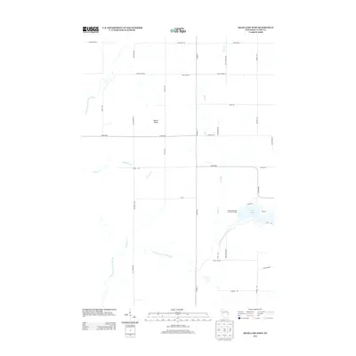
2013 Map of Mead Lake West
USGS Topo · Published 2013About this map
The South Fork Eau Claire River and its confluence at Mead Lake 95 anchor this Clark County landscape, where the local terrain transitions through the Bowler Valley. This 2013 survey illustrates the dense network of drainage systems feeding the reservoir, including Black Cr, Robinson Cr, and Dickinson Cr. The area is defined by a traditional Midwestern section-line road grid, with primary corridors like Co HWY-MM and Co HWY-M providing access to the recreational grounds at Veterans Memorial County Park Camp. Northward, the North Fork Eau Claire River and Popple River cut through the timbered tracts and agricultural fields, tracing the natural hydrology of the Reseburg region before it reaches the larger river systems of western Wisconsin.
Find a feature on this map
30 named features on this map. Tap any name to fly to it.
Don’t see what you’re looking for? This feature index may not catch every label — zoom into the map to look around manually.
Map Details
Editions of this 2013 Mead Lake West Map
This is the sole edition of this map. No revisions or reprints were ever made.
Other maps of this area

1948 · Fairchild
USGS Topo · 1:62,500

1949 · Fairchild
USGS Topo · 1:62,500

1952 · Stanley
USGS Topo · 1:62,500

1953 · Neillsville
USGS Topo · 1:62,500

1953 · Owen
USGS Topo · 1:48,000

1953 · Eau Claire
USGS Topo · 1:250,000

1958 · Eau Claire
USGS Topo · 1:250,000

1963 · Owen
USGS Topo · 1:62,500

1964 · Eau Claire
USGS Topo · 1:250,000
1976 · Stanley NE
USGS Topo · 1:24,000