Old Maps of Wyocena, Wisconsin for Academic Research
Study the evolution of Wyocena with 21 high-resolution historic maps. Whether you're teaching, researching, or modeling changes in land use, these maps provide essential visual documentation of urban, environmental, and geographic change.
- Analyze long-term change: Track patterns in development, transportation, and natural features.
- Ideal for environmental or urban studies: Support academic projects with primary historical map data.
- Use in the classroom or lab: Educators and researchers rely on these maps to bring historical context to life.
These maps are a powerful tool for teaching, research, and visualizing how Wyocena has changed over the decades.
Wyocena, WI maps
(21)- 1901 Map of Poynette
 1901 Poynette1901 Print · USGSWisconsin's rural heartland comes into focus at the dawn of the twentieth century, anchored by the railway corridor and the winding river. Researchers can trace the early footprints of Poynette, Wyocena, and Dekorra alongside small junctions like Morrisonville and Arlington.3 unique versions available
 - 1902 Map of Portage
 1902 Portage1902 Print · USGSPortage and the surrounding marshlands of Columbia County appear here at the turn of the century, centered on the strategic divide between the Wisconsin River and Fox River. Genealogists and rail historians can trace the early footprints of Portage, the canal-era site of Fort Hope, and rural communities like Pardeeville and Marcellon.3 unique versions available
 - 1957 Map of Madison, 1967 Print
 1957 Madison1967 Print · USGSSouth-central Wisconsin in the mid-fifties reveals a landscape of industrial hubs and glacial lakes linked by a dense rail and highway network. Genealogists and historians can trace the development of lakeside communities and find notable sites like Badger Ordnance Works and the Horicon National Wildlife Refuge.3 unique versions available
 - 1960 Map of Madison
 1960 Madison1960 Print · USGSCentral and Southern Wisconsin are captured in the late fifties, showing the region as its rail-and-river network matured. Trace the paths of the Soo Line RR or locate family roots near Lake Mendota and Horicon National Wildlife Refuge.2 unique versions available
 - 1962 Map of Poynette, 1964 Print
 1962 Poynette1964 Print · USGSIn the early sixties, the farming communities of Columbia and Dane Counties were evolving alongside the new interstate highway. Genealogists can locate family sites and rural landmarks like Hillside Cem, Leeds Center, and the Arlington Prairie Ch.2 unique versions available
 - 1962 Map of Portage, 1964 Print
 1962 Portage1964 Print · USGSPortage and its surrounding river country are captured here in the early sixties, showing the vital connection between the Fox and Wisconsin Rivers. Genealogists can trace family roots through the Old Fort Winnebago Cem and rural settlements like Marcellon and Endeavor.
 - 1984 Map of Wyocena
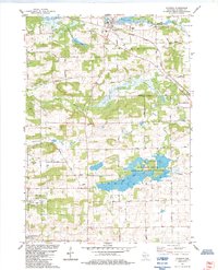 1984 Wyocena1984 Print · USGSThe village of Wyocena and the surrounding Columbia County wetlands are captured here in the mid-1980s. Local researchers can trace family landmarks like Rocky Run Cem, the Poynette State Game Farm, and the path of the Milwaukee St Paul and Pacific railroad.
 - 1984 Map of Pardeeville
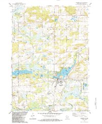 1984 Pardeeville1984 Print · USGSMid-century Columbia County reveals a landscape shaped by glacial waters and early Wisconsin history. Genealogists and local historians can trace family roots at Comstock Cemetery, locate the Marcellon School, or follow the historic INDIAN TREATY BOUNDARY.
 - 1985 Map of Wisconsin Dells
 1985 Wisconsin Dells1985 Print · USGSCentral Wisconsin in the mid-eighties was a landscape of intricate river bends, rail junctions, and sprawling marshlands. Researchers can trace historic routes along the Soo Line or locate family landmarks near Lyndon Station, Buffalo Lake, and Puckaway Lake.
 - 1990 Map of Wisconsin Dells, 1991 Print
 1990 Wisconsin Dells1991 Print · USGSCentral Wisconsin's river valleys and lake country are captured in detail here during the late twentieth century. Researchers can trace the rail-and-water geography connecting Wisconsin Dells and Portage with landmarks like Blackhawk Island and Buffalo Lake.
 - 1991 Map of Madison
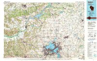 1991 Madison1991 Print · USGSMadison and its iconic glacial lakes are captured here during a time of steady urban expansion and regional growth. Researchers can trace the mid-century development of the University of Wisconsin, locate family sites near Forest Hill Cem, or explore the footprint of the Badger Army Ammunition Plant.
 - 2010 Map of Pardeeville, 2010 Print
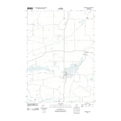 2010 Pardeeville2010 Print · USGSPardeeville and the Upper Fox River valley are captured in this recent survey, showcasing a landscape of glacial lakes and small-town junctions. Researchers can locate several rural burial sites like Henion Cemetery and trace the local aviation history of the Reuhl Landing Strip.
 - 2010 Map of Wyocena, 2010 Print
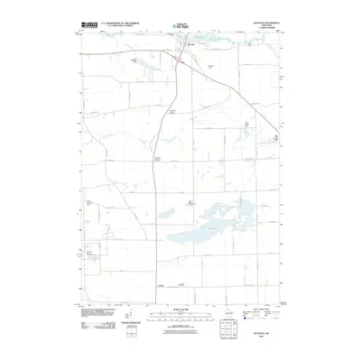 2010 Wyocena2010 Print · USGSCentral Wisconsin’s agricultural and lake country is captured here in the early twenty-first century, centered on the village of Wyocena. Researchers can trace local lineage at Rocky Run Catholic Cemetery or locate the historic Wyocena Dam and Lowville settlement.
 - 2013 Map of Wyocena, 2013 Print
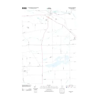 2013 Wyocena2013 Print · USGSColumbia County in the early twenty-first century reveals a landscape of private airfields and protected wetlands surrounding Wyocena. Genealogists and local historians can trace the geography of Lowville or locate the Poynette State Game Farm and Wyocena Millpond 84.
 - 2013 Map of Pardeeville, 2013 Print
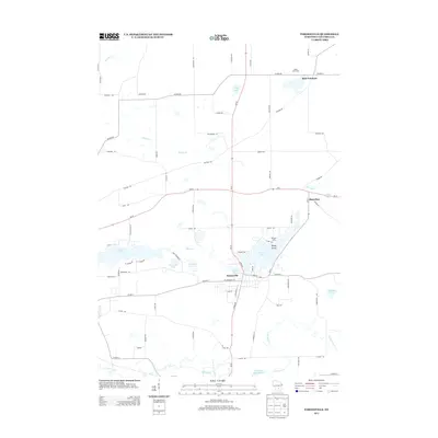 2013 Pardeeville2013 Print · USGSColumbia County’s glaciated landscape and water networks are shown here in the early 2010s. Local researchers can trace the growth of Pardeeville and locate rural landmarks like Williams Camp, Belle Fountain, and the shores of Swan Lake.
 - 2016 Map of Pardeeville, 2016 Print
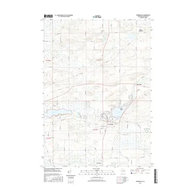 2016 Pardeeville2016 Print · USGSColumbia County’s lake country is captured here in the mid-2010s, centered on the historic water-linked settlements of Pardeeville and Wyocena. Researchers can locate numerous family burial sites such as Henion Cem or trace the early industrial footprint of the Wyocena Millpond.
 - 2016 Map of Wyocena, 2016 Print
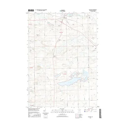 2016 Wyocena2016 Print · USGSColumbia County’s rural townships are captured here in the mid-2010s, showing a landscape shaped by glacial waters and family farmsteads. Researchers can locate ancestral sites at Lowville Cem or trace the early paths of W Old Highway 16 near Wyocena.
 - 2018 Map of Wyocena, 2018 Print
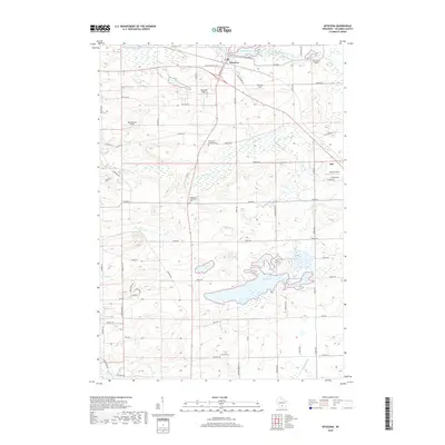 2018 Wyocena2018 Print · USGSColumbia County’s rural landscape is captured here in the late 2010s, centered on the village of Wyocena and its neighboring agricultural fields. Researchers can trace local heritage through sites like the Rocky Run Protestant Cem, Lowville Cem, and the clearings of Weatherbee Field.
 - 2018 Map of Pardeeville, 2018 Print
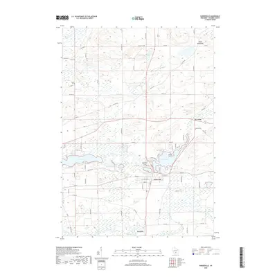 2018 Pardeeville2018 Print · USGSColumbia County’s glaciated landscape is shown here in the late 2010s, centered on the historic hubs of Pardeeville and Wyocena. Researchers can trace old family plots at Fuller Cem and Marcellon Cem or follow the path of the Fox River.
 - 2022 Map of Pardeeville, 2022 Print
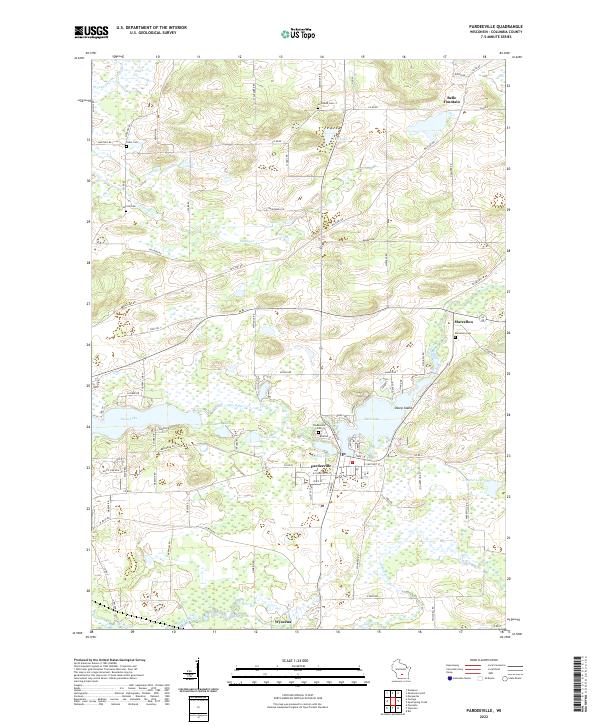 2022 Pardeeville2022 Print · USGSColumbia County’s glaciated terrain and river networks are preserved here in the early twenty-first century. Researchers can locate family sites near Marcellon Cemetery or trace the early paths of Military Road and the banks of Swan Lake.
 - 2022 Map of Wyocena, 2022 Print
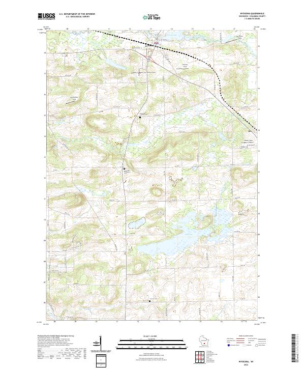 2022 Wyocena2022 Print · USGSThe village of Wyocena and the surrounding Columbia County wetlands are shown here in the early twenty-first century. Genealogists can locate family plots at the Rocky Run Catholic Cem or trace the shoreline of Wyona Lake and Mud Lake.
End of results
Showing maps 1-21 of 21
Top cities near Wyocena
- Portage historical maps
- Windsor historical maps
- Town of Bristol historical maps
- Lodi historical maps
- Poynette historical maps
- Dekorra historical maps
See more
Frequently asked questions
- What are the different types of historical maps available for Wyocena?
- What is the oldest map of Wyocena?
- Where can I purchase historical maps of Wyocena for my home or office?
- Where can I download high-res historical maps of Wyocena?
- Are there historical topographic maps available for Wyocena?
- Is there historical aerial imagery available for Wyocena?
- Where are historical maps of Wyocena sourced from?