2020s Maps of Crawford County, Wisconsin
Explore 22 historic maps of Crawford County from the 2020s. These maps offer a rare glimpse into what life looked like during the 2020s — showing old roads, neighborhoods, homes, and landmarks that have changed or disappeared over time.
Whether you're researching your family's past, planning a metal detecting trip, or studying how Crawford County's landscape evolved across the 2020s, these high-resolution maps are a powerful tool for exploring the history of this region.
- Focus on a specific era: All maps on this page are from the 2020s, giving you a focused view of this time period.
- See what’s changed: Compare century-old streets, trails, and buildings to today's modern landscape using overlays and satellite layers.
- Research with precision: Use these maps for genealogy, historical research, land use analysis, or educational projects.
- View, download, or print: Maps are fully viewable online in high resolution, and can be downloaded or printed for your own records.
Start exploring Crawford County's history through authentic maps from the 2020s. This is your window into the past.
Crawford County, WI maps
(22)- 2022 Map of Brodtville, 2022 Print
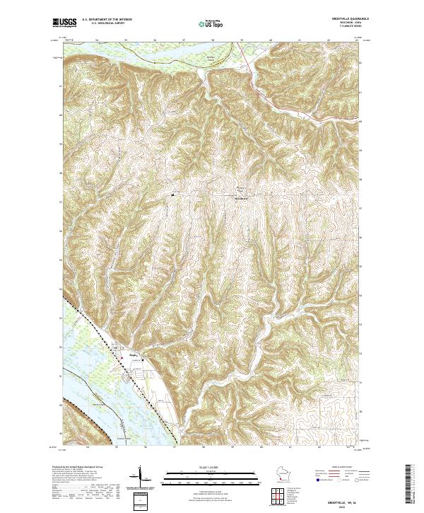 2022 Brodtville2022 Print · USGSGrant County river life and ridge-top farming meet in this modern survey of the Wisconsin-Iowa border. Genealogists and local historians can trace the topography around Bagley and Brodtville, locating family landmarks like Flint Cem and Bagley Cem.
 - 2022 Map of Bridgeport, 2022 Print
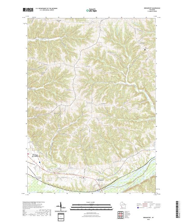 2022 Bridgeport2022 Print · USGSCrawford County's river bluffs and rural ridges are captured here during the early 2020s. Researchers can trace family history through the Bridgeport Cem and Dutch Ridge Cem or locate old homesteads along Famechon Ridge and the Wisconsin River.
 - 2022 Map of Eastman, 2022 Print
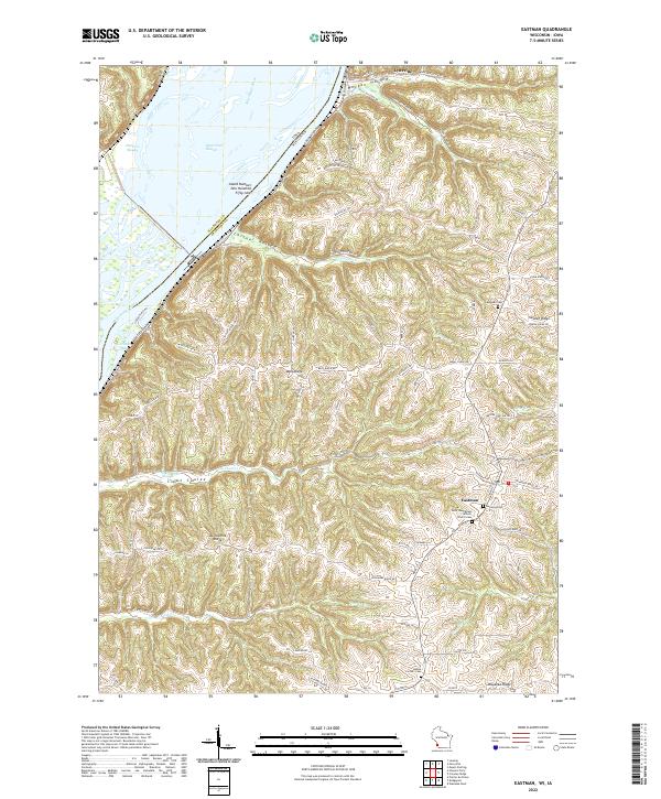 2022 Eastman2022 Print · USGSCrawford County's high ridges and river bottomlands are captured here in the early twenty-first century as the landscape transitions from the Mississippi River to the upland plains. Researchers can locate family landmarks such as the Saint Wenceslaus Catholic Church-Cem, Campbell Cem, and the riverfront village of Lynxville.
 - 2022 Map of Long Hollow, 2022 Print
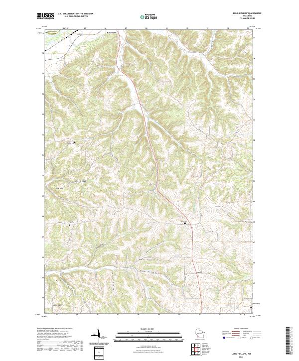 2022 Long Hollow2022 Print · USGSThe driftless area of Grant County is revealed here in the early twenty-first century, showcasing a landscape of deep valleys and family-named ridges. Genealogists can locate several rural burial grounds, including Brechler Cem and Crown Hill Cem, while following old routes like Dry Hollow Rd.
 - 2022 Map of Retreat, 2022 Print
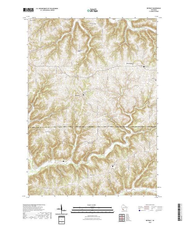 2022 Retreat2022 Print · USGSThe borderlands of Vernon and Crawford Counties appear here in the early twenty-first century, showcasing a rural landscape defined by high ridges and deep hollows. Researchers can trace family history through numerous landmarks including Walnut Mound Cem, the settlement of Retreat, and the winding path of Rush Creek.
 - 2022 Map of Prairie du Chien, 2022 Print
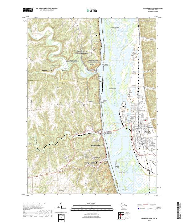 2022 Prairie du Chien2022 Print · USGSThe Upper Mississippi River valley comes alive in this 2022 survey of the historic river crossing between Wisconsin and Iowa. Trace the evolution of early river life through landmarks like Fort Crawford, McGregor, and the ancient Effigy Mounds National Monument.
 - 2022 Map of De Soto, 2022 Print
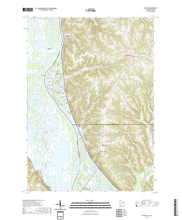 2022 De Soto2022 Print · USGSThe riverfront and high ridges of the Upper Mississippi Valley are shown here in the 2020s, highlighting the complex water networks and upland settlements. Trace local family history at Lawrence Ridge Cem or explore the river terrain near De Soto and Victory.
 - 2022 Map of Ferryville, 2022 Print
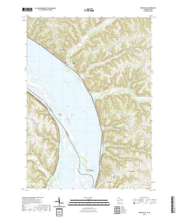 2022 Ferryville2022 Print · USGSThe Mississippi River's intricate backwaters and Wisconsin river towns are captured here in the early twenty-first century. Researchers can trace family history at Ferryville Cemetery or explore the shifting shoreline of Lake Winneshiek and Pool Nine Island.
 - 2022 Map of Sugar Grove, 2022 Print
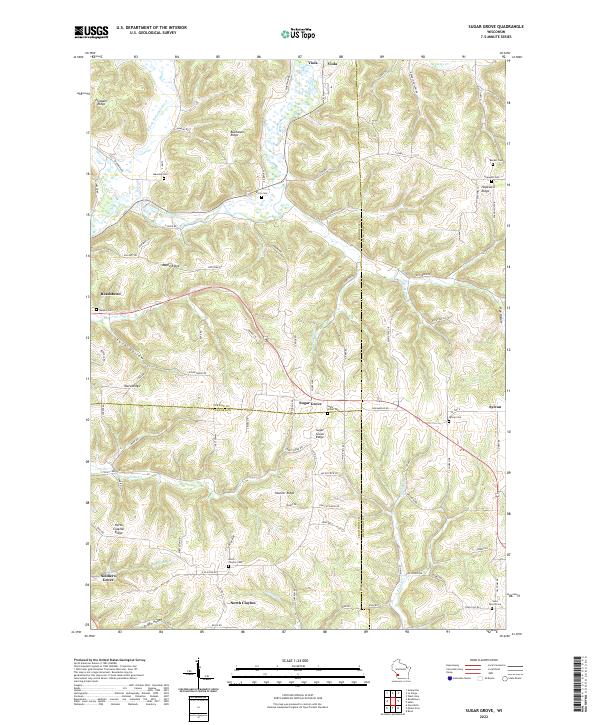 2022 Sugar Grove2022 Print · USGSThe Driftless Area of Vernon and Richland counties is shown here in detail, focusing on the high ridges and deep river valleys of southwestern Wisconsin. Genealogists can locate several family and community burial grounds, including Sugar Grove Cem, Hopewell Cem, and Saint Peters Cem.
 - 2022 Map of Wauzeka East, 2022 Print
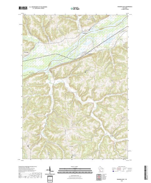 2022 Wauzeka East2022 Print · USGSThe confluence of the Kickapoo River and Wisconsin River defines this landscape in the early 2020s. Researchers can locate family sites at Rosendale Cem or trace the old paths through Boydtown Hollow and Foxboro Hollow.
 - 2022 Map of Mount Zion, 2022 Print
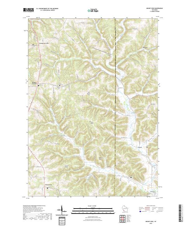 2022 Mount Zion2022 Print · USGSThe ridge-and-valley country of Crawford and Richland counties is documented in this recent survey, showcasing the high-ground settlements of the Driftless Area. Researchers can trace family history through sites like Saint Phillips Cem, Montgomeryville, and Mook Cem.
 - 2022 Map of Gays Mills, 2022 Print
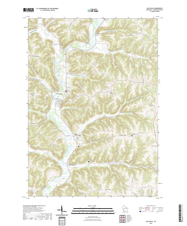 2022 Gays Mills2022 Print · USGSIn the driftless landscape of southwestern Wisconsin, the river valleys and high ridges provide a clear picture of rural life along the Kickapoo River. You can trace family roots through several local burial sites like Bell Center Cem or explore the old street layouts of Gays Mills.
 - 2022 Map of Rising Sun, 2022 Print
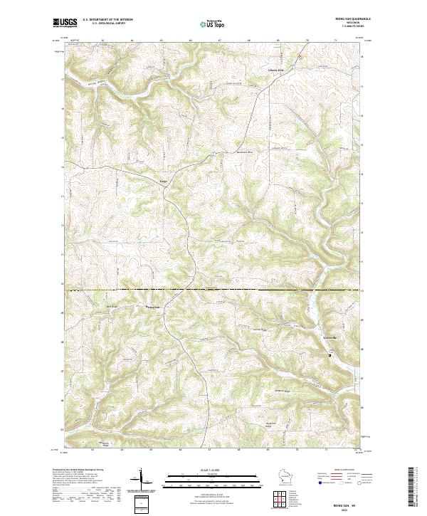 2022 Rising Sun2022 Print · USGSThe ridges of the unglaciated Driftless Area are captured here in the contemporary era, showing the high-ground settlements of Rising Sun and Liberty Pole. Genealogists and local historians can trace family farmsteads and old burial sites like Towerville Cemetery along the winding paths of McManus Ridge.
 - 2022 Map of Crowley Ridge, 2022 Print
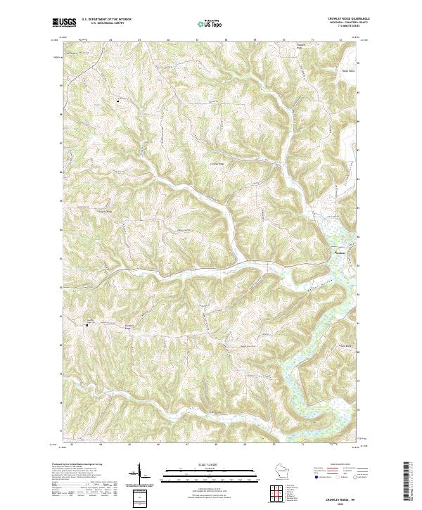 2022 Crowley Ridge2022 Print · USGSThe ridges and river valleys of Crawford County are shown in detail as they appeared in 2022. Researchers can trace rural cemeteries such as Stuart Cem and follow the path of the Kickapoo River near the village of Steuben.
 - 2022 Map of Readstown, 2022 Print
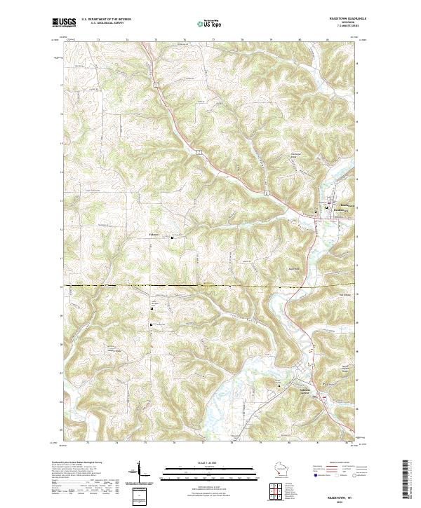 2022 Readstown2022 Print · USGSThe Kickapoo River valley in southwestern Wisconsin comes to life on this 2022 survey of Vernon and Crawford counties. Researchers can trace family history through numerous rural burial grounds like Hooverson Cem and Forest Hill Cem while exploring the topography of Spring Valley and Swiggum Ridge.
 - 2022 Map of Wauzeka West, 2022 Print
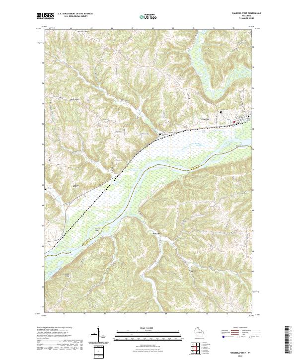 2022 Wauzeka West2022 Print · USGSCrawford County at the start of the 2020s shows a landscape of deep ridges and river bottoms where the Kickapoo and Wisconsin meet. Genealogists can trace family sites at Sacred Heart Cem and Gran Grae Cem or explore the river flats near Millville.
 - 2022 Map of Mount Sterling, 2022 Print
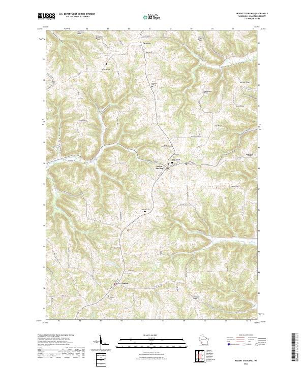 2022 Mount Sterling2022 Print · USGSCrawford County's high ridges and deep hollows are documented in this recent survey of the Driftless Area. Local researchers can locate family sites and cemeteries along the heights, from Utica Lutheran Cem to the early burials at Pioneer Cem.
 - 2022 Map of Steuben, 2022 Print
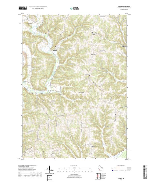 2022 Steuben2022 Print · USGSCrawford County's river-carved valleys and high ridges are captured here as they appeared in the early 2020s. Genealogists can trace family footprints across several rural burial sites, including Barnum Cem and the Posey Cem near Steuben.
 - 2022 Map of Boscobel, 2022 Print
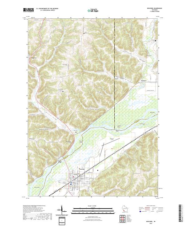 2022 Boscobel2022 Print · USGSThe Wisconsin River valley comes alive in this contemporary survey, showing the crossroads of Crawford, Richland, and Grant Counties. Researchers can trace rural cemetery sites like Wayne Cem and Haskins Cem or locate old community markers at Plugtown and Cedar Point.
 - 2022 Map of Lansing, 2022 Print
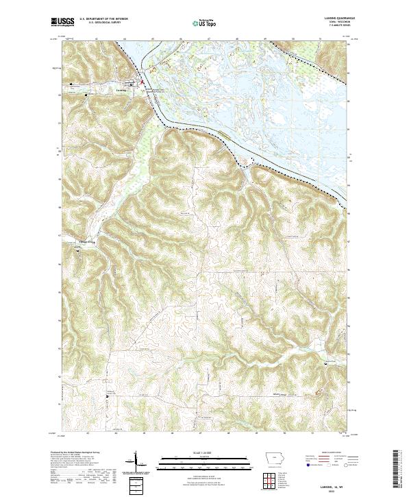 2022 Lansing2022 Print · USGSLansing and the Mississippi River front are captured in this recent survey of Allamakee County during the early 2020s. Researchers can locate numerous local burial grounds such as Gethsemane Cem and Oak Hill Cem or trace the sloughs of Winnieshiek Bottoms.
 - 2022 Map of Harpers Ferry, 2022 Print
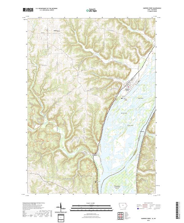 2022 Harpers Ferry2022 Print · USGSThe riverfront communities of Allamakee County thrive along the Mississippi backwaters in this recent survey. Local researchers can trace family landmarks near Harpers Ferry, find Sandy Point Cem, and explore the rail corridors at Waukon Junction.
 - 2022 Map of Clayton, 2022 Print
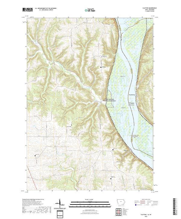 2022 Clayton2022 Print · USGSThe Upper Mississippi riverfront near the Iowa-Wisconsin border is captured here in the early twenty-first century. Genealogists can locate family names at the Norwegian Church Cem or Jenkins Cem and trace the bluffside limits of Effigy Mounds National Monument.
End of results
Showing maps 1-22 of 22
Top cities of Crawford County
- Prairie du Chien historical maps
- Bridgeport historical maps
- Seneca historical maps
- Wauzeka historical maps
- Soldiers Grove historical maps
- Gays Mills historical maps
See more
Frequently asked questions
- What are the different types of historical maps available for Crawford County?
- What is the oldest map of Crawford County?
- Where can I purchase historical maps of Crawford County for my home or office?
- Where can I download high-res historical maps of Crawford County?
- Are there historical topographic maps available for Crawford County?
- Is there historical aerial imagery available for Crawford County?
- Where are historical maps of Crawford County sourced from?