2000s (21st Century) Maps of Blue Mounds, Wisconsin
Explore 20 historic maps of Blue Mounds from the 2000s (21st Century). These maps offer a rare glimpse into what life looked like during the 2000s — showing old roads, neighborhoods, homes, and landmarks that have changed or disappeared over time.
Whether you're researching your family's past, planning a metal detecting trip, or studying how Blue Mounds's landscape evolved across the 2000s, these high-resolution maps are a powerful tool for exploring the history of this region.
- Focus on a specific era: All maps on this page are from the 2000s, giving you a focused view of this time period.
- See what’s changed: Compare century-old streets, trails, and buildings to today's modern landscape using overlays and satellite layers.
- Research with precision: Use these maps for genealogy, historical research, land use analysis, or educational projects.
- View, download, or print: Maps are fully viewable online in high resolution, and can be downloaded or printed for your own records.
Start exploring Blue Mounds's history through authentic maps from the 2000s. This is your window into the past.
Blue Mounds, WI maps
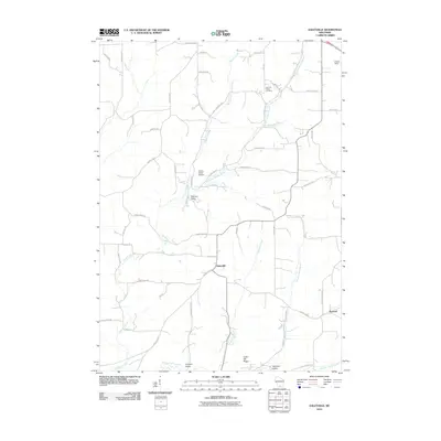
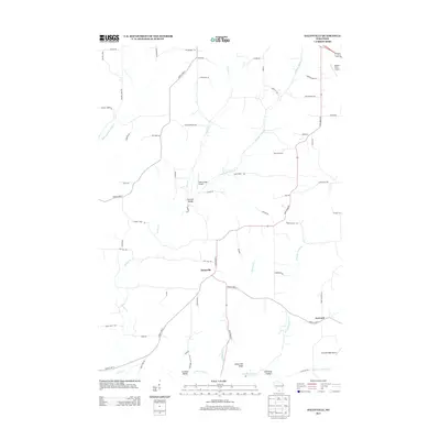
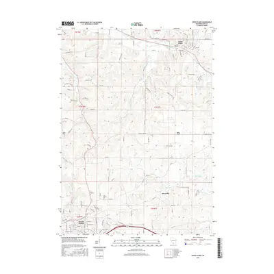
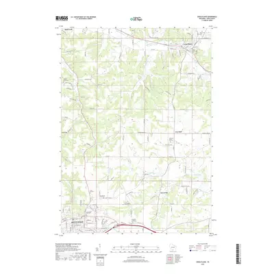
(20)- 2010 Map of Cross Plains, 2010 Print
 2010 Cross Plains2010 Print · USGSCovers Blue Mounds, including Mount Horeb, Cross Plains, and other nearby areas
 - 2010 Map of Blue Mounds, 2010 Print
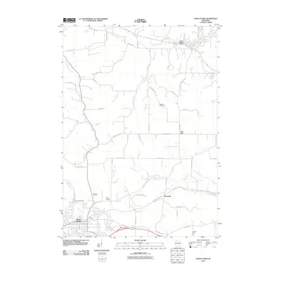
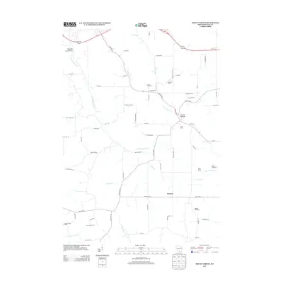
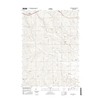
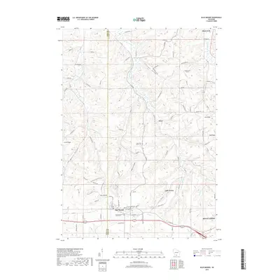
 2010 Blue Mounds2010 Print · USGSCovers Blue Mounds, including Mount Horeb, Black Earth, and other nearby areas
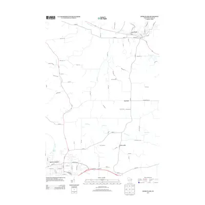
 - 2010 Map of Daleyville, 2010 Print
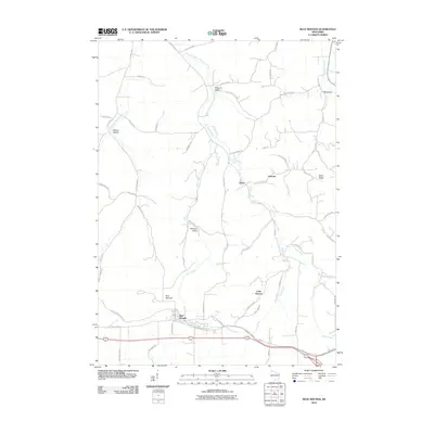
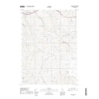
 2010 Daleyville2010 Print · USGSCovers Blue Mounds, including Mount Horeb, Perry, and other nearby areas
 - 2010 Map of Mount Vernon, 2010 Print
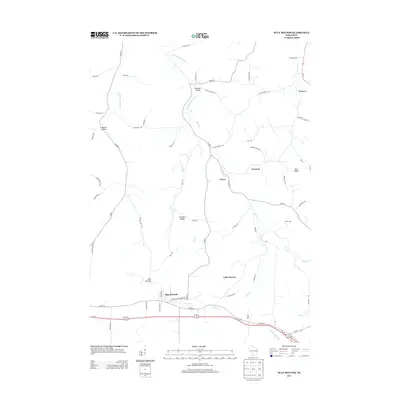
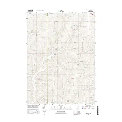
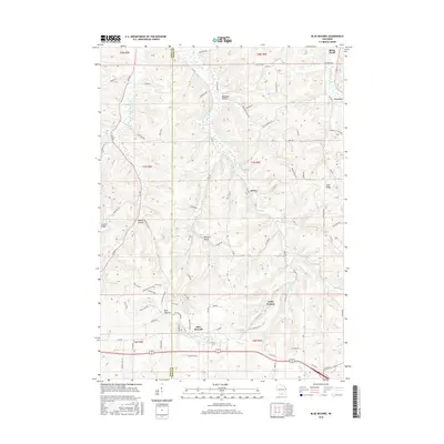
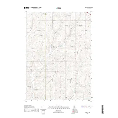
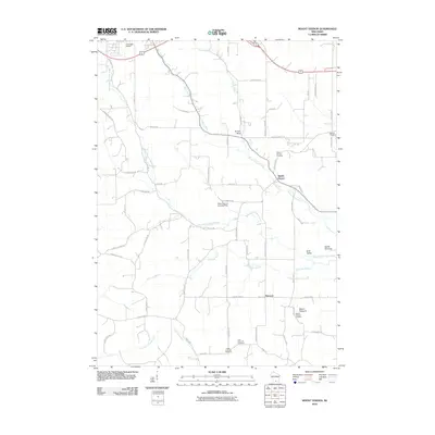 2010 Mount Vernon2010 Print · USGSCovers Blue Mounds, including Mount Horeb, Town of Springdale, and other nearby areas
 - 2013 Map of Mount Vernon, 2013 Print
 2013 Mount Vernon2013 Print · USGSCovers Blue Mounds, including Mount Horeb, Town of Springdale, and other nearby areas
 - 2013 Map of Daleyville, 2013 Print
 2013 Daleyville2013 Print · USGSCovers Blue Mounds, including Mount Horeb, Perry, and other nearby areas
 - 2013 Map of Cross Plains, 2013 Print
 2013 Cross Plains2013 Print · USGSCovers Blue Mounds, including Mount Horeb, Cross Plains, and other nearby areas
 - 2013 Map of Blue Mounds, 2013 Print
 2013 Blue Mounds2013 Print · USGSCovers Blue Mounds, including Mount Horeb, Black Earth, and other nearby areas
 - 2016 Map of Mount Vernon, 2016 Print
 2016 Mount Vernon2016 Print · USGSCovers Blue Mounds, including Mount Horeb, Town of Springdale, and other nearby areas
 - 2016 Map of Daleyville, 2016 Print
 2016 Daleyville2016 Print · USGSCovers Blue Mounds, including Mount Horeb, Perry, and other nearby areas
 - 2016 Map of Cross Plains, 2016 Print
 2016 Cross Plains2016 Print · USGSCovers Blue Mounds, including Mount Horeb, Cross Plains, and other nearby areas
 - 2016 Map of Blue Mounds, 2016 Print
 2016 Blue Mounds2016 Print · USGSCovers Blue Mounds, including Mount Horeb, Black Earth, and other nearby areas
 - 2018 Map of Blue Mounds, 2018 Print
 2018 Blue Mounds2018 Print · USGSCovers Blue Mounds, including Mount Horeb, Black Earth, and other nearby areas
 - 2018 Map of Cross Plains, 2018 Print
 2018 Cross Plains2018 Print · USGSCovers Blue Mounds, including Mount Horeb, Cross Plains, and other nearby areas
 - 2018 Map of Daleyville, 2018 Print
 2018 Daleyville2018 Print · USGSCovers Blue Mounds, including Mount Horeb, Perry, and other nearby areas
 - 2018 Map of Mount Vernon, 2018 Print
 2018 Mount Vernon2018 Print · USGSCovers Blue Mounds, including Mount Horeb, Town of Springdale, and other nearby areas
 - 2022 Map of Daleyville, 2022 Print
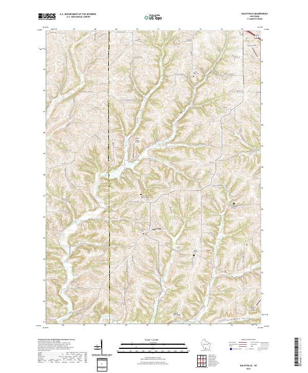 2022 Daleyville2022 Print · USGSThe rural landscape of western Dane County is captured in the early twenty-first century, centered on the settlement of Daleyville. Genealogists can trace family heritage through local landmarks like Perry Lutheran Cem, German Valley Cem, and Indian Hill Ridge.
 - 2022 Map of Mount Vernon, 2022 Print
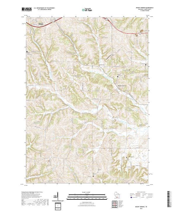 2022 Mount Vernon2022 Print · USGSDane County's rural landscape is documented here in the early twenty-first century, centered on the community of Mount Vernon. Genealogists and local historians can trace family locations near landmarks like Devils Chimney, Mount Pleasant Cem, and the West Primrose Cem.
 - 2022 Map of Blue Mounds, 2022 Print
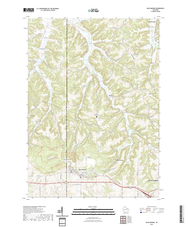 2022 Blue Mounds2022 Print · USGSSouthwestern Wisconsin's high-relief landscape comes alive in this contemporary survey of the Driftless Area. Local researchers can trace family landmarks and historical sites from Blue Mounds to Mount Horeb, including the Saint James Catholic Cem.
 - 2022 Map of Cross Plains, 2022 Print
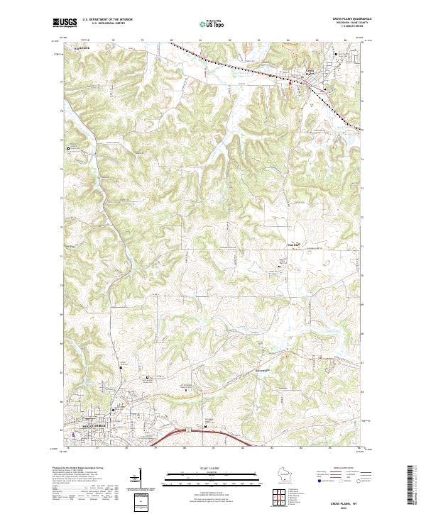 2022 Cross Plains2022 Print · USGSDane County's driftless-edge landscape is shown here in the 2020s, centered on the villages of Cross Plains and Mount Horeb. Genealogists and historians can trace numerous rural burial grounds and parishes, including Saint Francis Xavier Cem and Springdale Lutheran Church Cem.
End of results
Showing maps 1-20 of 20
Top cities near Blue Mounds
- Madison historical maps
- Middleton historical maps
- Verona historical maps
- Mount Horeb historical maps
- Cross Plains historical maps
- Town of Springfield historical maps
See more
Frequently asked questions
- What are the different types of historical maps available for Blue Mounds?
- What is the oldest map of Blue Mounds?
- Where can I purchase historical maps of Blue Mounds for my home or office?
- Where can I download high-res historical maps of Blue Mounds?
- Are there historical topographic maps available for Blue Mounds?
- Is there historical aerial imagery available for Blue Mounds?
- Where are historical maps of Blue Mounds sourced from?