2000s (21st Century) Maps of Montrose, Wisconsin
Explore 20 historic maps of Montrose from the 2000s (21st Century). These maps offer a rare glimpse into what life looked like during the 2000s — showing old roads, neighborhoods, homes, and landmarks that have changed or disappeared over time.
Whether you're researching your family's past, planning a metal detecting trip, or studying how Montrose's landscape evolved across the 2000s, these high-resolution maps are a powerful tool for exploring the history of this region.
- Focus on a specific era: All maps on this page are from the 2000s, giving you a focused view of this time period.
- See what’s changed: Compare century-old streets, trails, and buildings to today's modern landscape using overlays and satellite layers.
- Research with precision: Use these maps for genealogy, historical research, land use analysis, or educational projects.
- View, download, or print: Maps are fully viewable online in high resolution, and can be downloaded or printed for your own records.
Start exploring Montrose's history through authentic maps from the 2000s. This is your window into the past.
Montrose, WI maps
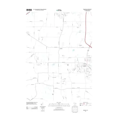
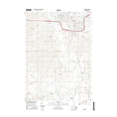
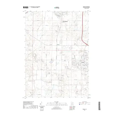
(20)- 2010 Map of Oregon, 2010 Print
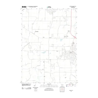 2010 Oregon2010 Print · USGSCovers Montrose, including Madison, Fitchburg, and other nearby areas
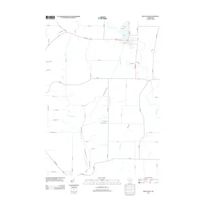
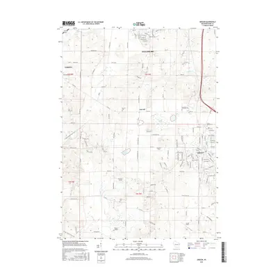
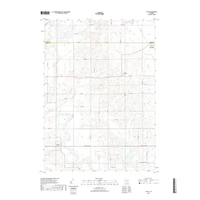
 - 2010 Map of Attica, 2010 Print
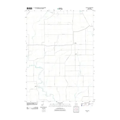 2010 Attica2010 Print · USGSCovers Montrose, including Exeter, Brooklyn, and other nearby areas
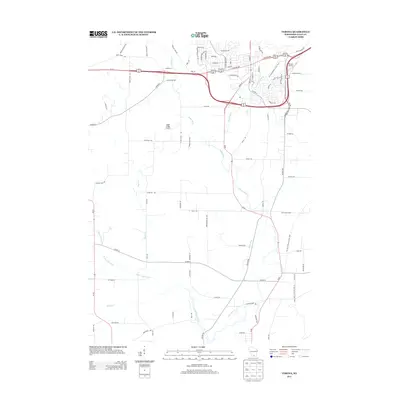
 - 2010 Map of Verona, 2010 Print
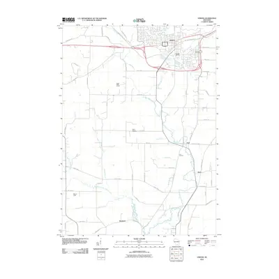 2010 Verona2010 Print · USGSCovers Montrose, including Madison, Verona, and other nearby areas
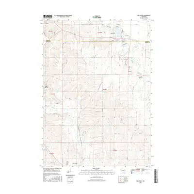
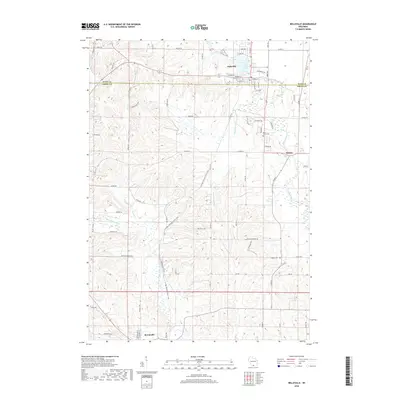
 - 2010 Map of Belleville, 2010 Print
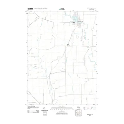 2010 Belleville2010 Print · USGSCovers Montrose, including Belleville, New Glarus, and other nearby areas
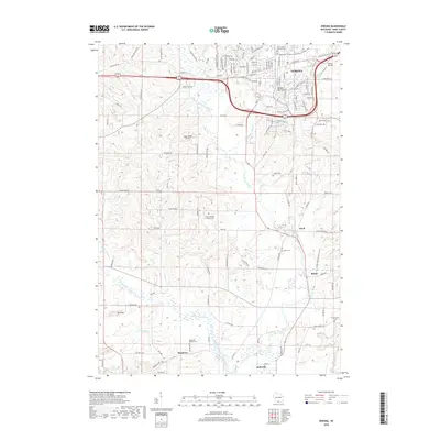
 - 2013 Map of Oregon, 2013 Print
 2013 Oregon2013 Print · USGSCovers Montrose, including Madison, Fitchburg, and other nearby areas
 - 2013 Map of Belleville, 2013 Print
 2013 Belleville2013 Print · USGSCovers Montrose, including Belleville, New Glarus, and other nearby areas
 - 2013 Map of Attica, 2013 Print
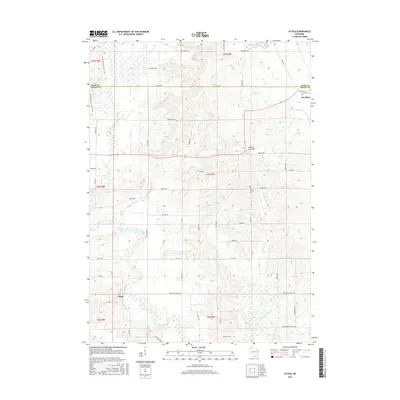
 2013 Attica2013 Print · USGSCovers Montrose, including Exeter, Brooklyn, and other nearby areas
 - 2013 Map of Verona, 2013 Print
 2013 Verona2013 Print · USGSCovers Montrose, including Madison, Verona, and other nearby areas
 - 2016 Map of Verona, 2016 Print
 2016 Verona2016 Print · USGSCovers Montrose, including Madison, Verona, and other nearby areas
 - 2016 Map of Oregon, 2016 Print
 2016 Oregon2016 Print · USGSCovers Montrose, including Madison, Fitchburg, and other nearby areas
 - 2016 Map of Belleville, 2016 Print
 2016 Belleville2016 Print · USGSCovers Montrose, including Belleville, New Glarus, and other nearby areas
 - 2016 Map of Attica, 2016 Print
 2016 Attica2016 Print · USGSCovers Montrose, including Exeter, Brooklyn, and other nearby areas
 - 2018 Map of Oregon, 2018 Print
 2018 Oregon2018 Print · USGSCovers Montrose, including Madison, Fitchburg, and other nearby areas
 - 2018 Map of Attica, 2018 Print
 2018 Attica2018 Print · USGSCovers Montrose, including Exeter, Brooklyn, and other nearby areas
 - 2018 Map of Verona, 2018 Print
 2018 Verona2018 Print · USGSCovers Montrose, including Madison, Verona, and other nearby areas
 - 2018 Map of Belleville, 2018 Print
 2018 Belleville2018 Print · USGSCovers Montrose, including Belleville, New Glarus, and other nearby areas
 - 2022 Map of Attica, 2022 Print
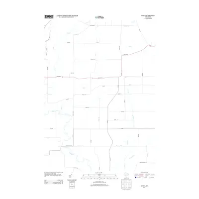
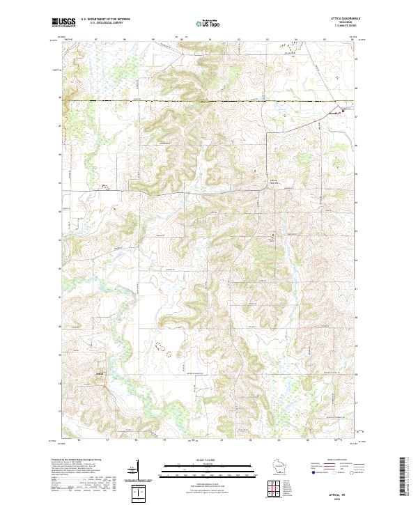 2022 Attica2022 Print · USGSThe Green and Dane County line comes into focus in the early 2020s, showing the rural landscapes surrounding Brooklyn and the Sugar River. Genealogists and local historians can trace family landmarks like Jug Prairie Cem and the heights of Liberty Pole Hill.
 - 2022 Map of Belleville, 2022 Print
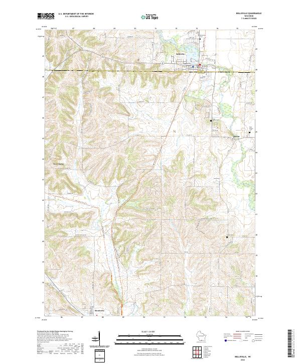 2022 Belleville2022 Print · USGSThe border of Dane and Green Counties comes alive in the early twenty-first century, showing a landscape defined by the winding Sugar River. Researchers can locate ancestral sites at Saint James Cem or trace the routes of the Sugar River State Trl and Dayton.
 - 2022 Map of Oregon, 2022 Print
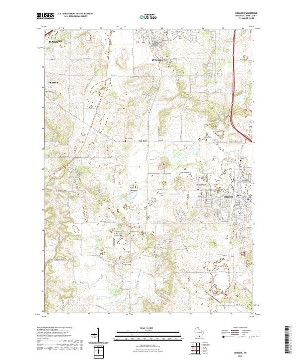 2022 Oregon2022 Print · USGSThe village of Oregon and its surrounding dairy country are captured here in the early twenty-first century as suburban growth extends from nearby Madison. Researchers can locate several historic burial sites like Storytown Cem or trace the path of the Ice Age National Scenic Trl.
 - 2022 Map of Verona, 2022 Print
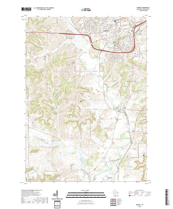 2022 Verona2022 Print · USGSDane County's rolling farmland and the growing suburbs of the Madison area appear here in the early 2020s. Researchers can locate numerous historic burial sites such as Pioneer Cem and Frenchtown Cem or trace the winding course of the Sugar River.
End of results
Showing maps 1-20 of 20
Top cities near Montrose
- Madison historical maps
- Fitchburg historical maps
- Middleton historical maps
- Verona historical maps
- Oregon historical maps
- Monona historical maps
See more
Top neighborhoods of Montrose
Frequently asked questions
- What are the different types of historical maps available for Montrose?
- What is the oldest map of Montrose?
- Where can I purchase historical maps of Montrose for my home or office?
- Where can I download high-res historical maps of Montrose?
- Are there historical topographic maps available for Montrose?
- Is there historical aerial imagery available for Montrose?
- Where are historical maps of Montrose sourced from?