2000s (21st Century) Maps of York, Wisconsin
Explore 20 historic maps of York from the 2000s (21st Century). These maps offer a rare glimpse into what life looked like during the 2000s — showing old roads, neighborhoods, homes, and landmarks that have changed or disappeared over time.
Whether you're researching your family's past, planning a metal detecting trip, or studying how York's landscape evolved across the 2000s, these high-resolution maps are a powerful tool for exploring the history of this region.
- Focus on a specific era: All maps on this page are from the 2000s, giving you a focused view of this time period.
- See what’s changed: Compare century-old streets, trails, and buildings to today's modern landscape using overlays and satellite layers.
- Research with precision: Use these maps for genealogy, historical research, land use analysis, or educational projects.
- View, download, or print: Maps are fully viewable online in high resolution, and can be downloaded or printed for your own records.
Start exploring York's history through authentic maps from the 2000s. This is your window into the past.
York, WI maps
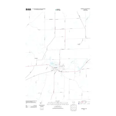
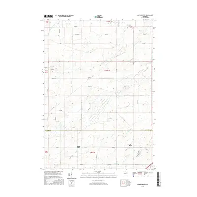
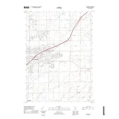
(20)- 2010 Map of North Bristol, 2010 Print
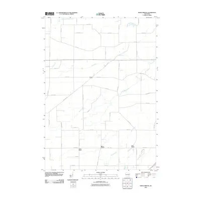 2010 North Bristol2010 Print · USGSCovers York, including Windsor, Town of Bristol, and other nearby areas
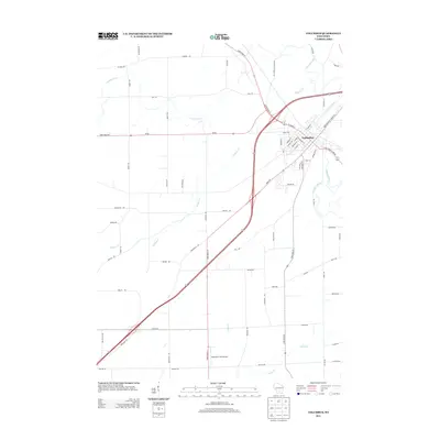
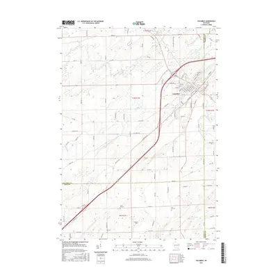
 - 2010 Map of Columbus, 2010 Print
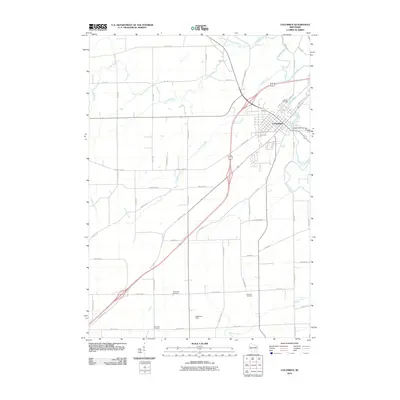 2010 Columbus2010 Print · USGSCovers York, including Columbus, Otsego, and other nearby areas
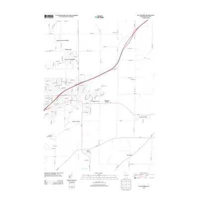
 - 2010 Map of Sun Prairie, 2010 Print
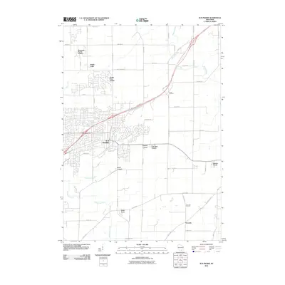 2010 Sun Prairie2010 Print · USGSCovers York, including Madison, Sun Prairie, and other nearby areas
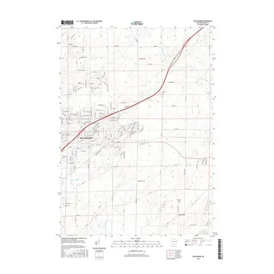
 - 2010 Map of Marshall, 2010 Print
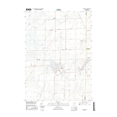
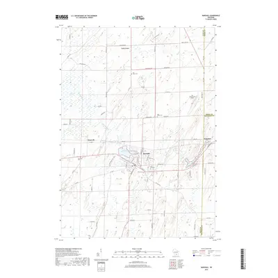
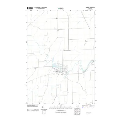 2010 Marshall2010 Print · USGSCovers York, including Marshall, Waterloo, and other nearby areas
 - 2013 Map of Marshall, 2013 Print
 2013 Marshall2013 Print · USGSCovers York, including Marshall, Waterloo, and other nearby areas
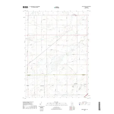
 - 2013 Map of North Bristol, 2013 Print
 2013 North Bristol2013 Print · USGSCovers York, including Windsor, Town of Bristol, and other nearby areas
 - 2013 Map of Sun Prairie, 2013 Print
 2013 Sun Prairie2013 Print · USGSCovers York, including Madison, Sun Prairie, and other nearby areas
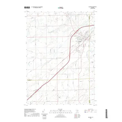
 - 2013 Map of Columbus, 2013 Print
 2013 Columbus2013 Print · USGSCovers York, including Columbus, Otsego, and other nearby areas
 - 2016 Map of Sun Prairie, 2016 Print
 2016 Sun Prairie2016 Print · USGSCovers York, including Madison, Sun Prairie, and other nearby areas
 - 2016 Map of North Bristol, 2016 Print
 2016 North Bristol2016 Print · USGSCovers York, including Windsor, Town of Bristol, and other nearby areas
 - 2016 Map of Columbus, 2016 Print
 2016 Columbus2016 Print · USGSCovers York, including Columbus, Otsego, and other nearby areas
 - 2016 Map of Marshall, 2016 Print
 2016 Marshall2016 Print · USGSCovers York, including Marshall, Waterloo, and other nearby areas
 - 2018 Map of Columbus, 2018 Print
 2018 Columbus2018 Print · USGSCovers York, including Columbus, Otsego, and other nearby areas
 - 2018 Map of Sun Prairie, 2018 Print
 2018 Sun Prairie2018 Print · USGSCovers York, including Madison, Sun Prairie, and other nearby areas
 - 2018 Map of Marshall, 2018 Print
 2018 Marshall2018 Print · USGSCovers York, including Marshall, Waterloo, and other nearby areas
 - 2018 Map of North Bristol, 2018 Print
 2018 North Bristol2018 Print · USGSCovers York, including Windsor, Town of Bristol, and other nearby areas
 - 2022 Map of North Bristol, 2022 Print
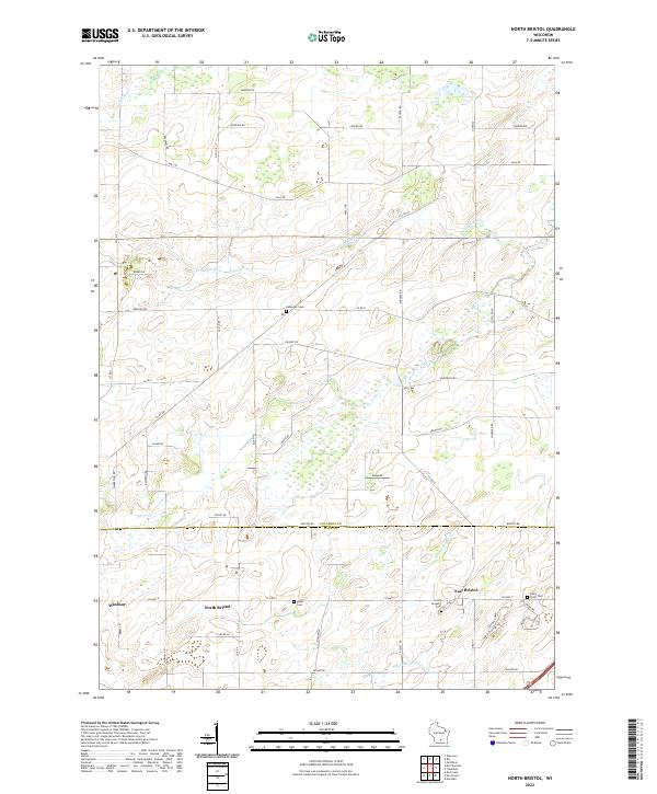 2022 North Bristol2022 Print · USGSColumbia and Dane Counties meet in this modern rural landscape, where family-named roads like Reisgard Rd trace old farm boundaries. Researchers can locate historic burial sites including Hampden Cem and the Saint Joseph's Cem near East Bristol.
 - 2022 Map of Marshall, 2022 Print
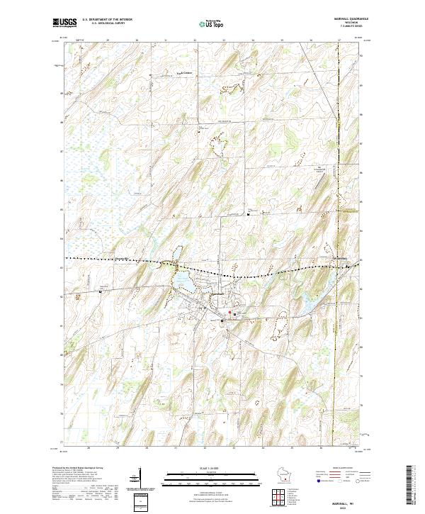 2022 Marshall2022 Print · USGSNortheast Dane County and the borders of Dodge and Jefferson counties are captured here in the early 2020s. Researchers can locate numerous local burial grounds like York Medina Cem and trace the Maunesha River through Deansville and Marshall.
 - 2022 Map of Columbus, 2022 Print
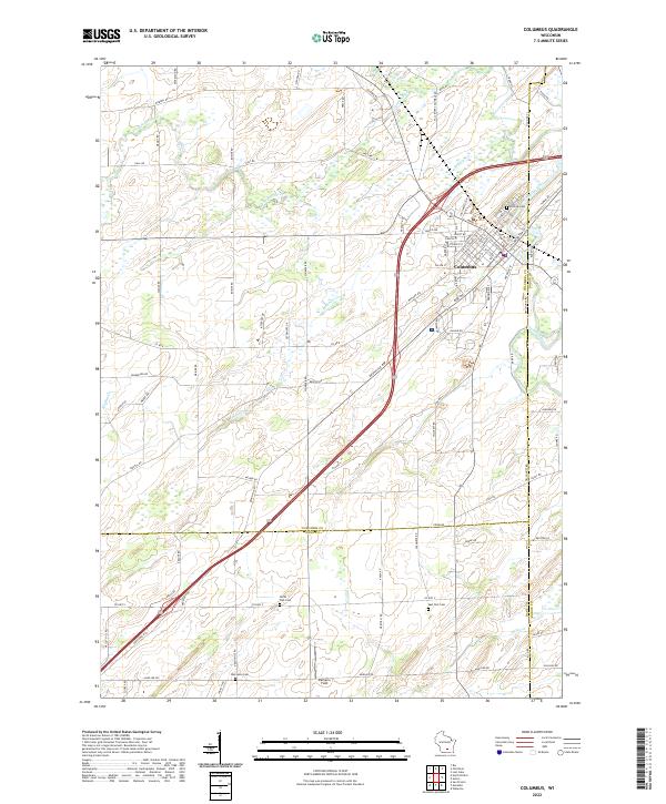 2022 Columbus2022 Print · USGSColumbus and its surrounding farm country are captured here at the start of the 2020s. Researchers can locate burial sites like Hillside Cem and Oak Lawn Cem or trace the winding path of the Crawfish River.
 - 2022 Map of Sun Prairie, 2022 Print
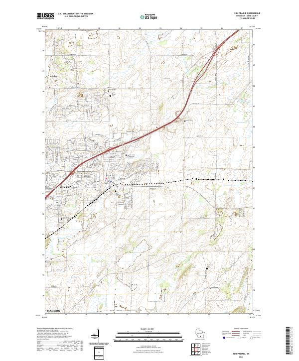 2022 Sun Prairie2022 Print · USGSIn the early 2020s, the area around Sun Prairie and Pierceville shows the meeting point of modern suburban growth and deep-rooted agricultural history. Researchers can locate numerous local burial sites like West Bristol Cem and family landmarks near the Maunesha River.
End of results
Showing maps 1-20 of 20
Top cities near York
- Madison historical maps
- Sun Prairie historical maps
- Beaver Dam historical maps
- Windsor historical maps
- McFarland historical maps
- Lake Mills historical maps
See more
Top neighborhoods of York
Frequently asked questions
- What are the different types of historical maps available for York?
- What is the oldest map of York?
- Where can I purchase historical maps of York for my home or office?
- Where can I download high-res historical maps of York?
- Are there historical topographic maps available for York?
- Is there historical aerial imagery available for York?
- Where are historical maps of York sourced from?