Old Maps of York, Wisconsin for Genealogy
Trace your family roots with 33 historic maps of York. These high-res maps reveal old neighborhoods, homesites, landmarks, and streets — helping you uncover where your ancestors lived and how the area evolved over time.
- Explore historic neighborhoods: Identify where your relatives may have lived in the 1800s or 1900s.
- Compare maps over time: Trace the changes in streets, buildings, and landmarks for multi-generational research.
- Perfect for genealogy & ancestry research: Used by family historians and researchers to map out lineage and migration.
These maps are an incredible resource for exploring your personal connection to York's past.
York, WI maps
(33)- 1890 Map of Sun Prairie
 1890 Sun Prairie1890 Print · USGSEastern Dane County was a landscape of budding rail towns and glacial ridges in the late nineteenth century. Genealogists and local historians can trace the early footprints of Sun Prairie, Deerfield, and Marshall along the active corridors of the Chicago and Northwestern Railroad.2 unique versions available
 - 1896 Map of Sun Prairie
 1896 Sun Prairie1896 Print · USGSEastern Dane County in the 1880s is captured here as a landscape of glacial ridges and emerging rail towns. Genealogists and local historians can trace early homesteads and rail stops like Deansville, Cottage Grove, and London.2 unique versions available
 - 1905 Map of Sun Prairie, 1959 Print
 1905 Sun Prairie1959 Print · USGSIn the early twentieth century, this part of Dane County was a thriving network of rail-stop towns and dairy farms. Genealogists and historians can trace the original rail paths of the Milwaukee Road through settlements like Sun Prairie, Deerfield, and Marshall.
 - 1907 Map of Sun Prairie
 1907 Sun Prairie1907 Print · USGSEastern Dane County at the turn of the century shows a landscape of rail-connected dairy towns and glacial wetlands. Genealogists and historians can trace family locations near York Center, Liberty Mound, and the old rail junction at London.8 unique versions available
 - 1955 Map of Columbus, 1956 Print
 1955 Columbus1956 Print · USGSColumbia County’s dairy and rail corridor is captured here in the mid-fifties, centered on the growing community of Columbus. Genealogists can trace family names at St Joseph Cem or locate the many country schools like McKinley Sch and Hampden Sch.2 unique versions available
 - 1957 Map of Madison, 1967 Print
 1957 Madison1967 Print · USGSSouth-central Wisconsin in the mid-fifties reveals a landscape of industrial hubs and glacial lakes linked by a dense rail and highway network. Genealogists and historians can trace the development of lakeside communities and find notable sites like Badger Ordnance Works and the Horicon National Wildlife Refuge.3 unique versions available
 - 1960 Map of Madison
 1960 Madison1960 Print · USGSCentral and Southern Wisconsin are captured in the late fifties, showing the region as its rail-and-river network matured. Trace the paths of the Soo Line RR or locate family roots near Lake Mendota and Horicon National Wildlife Refuge.2 unique versions available
 - 1962 Map of Sun Prairie, 1964 Print
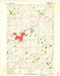 1962 Sun Prairie1964 Print · USGSDane County farmland surrounds the growing village of Sun Prairie in the early sixties as it develops along the Milwaukee Road railroad. Genealogists and local historians can trace family locations near Pierceville, Bristol Ch, and Brazee Lake.5 unique versions available
 - 1962 Map of Marshall, 1964 Print
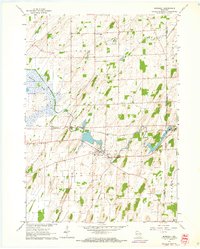 1962 Marshall1964 Print · USGSThe agricultural heart of Dane County comes into focus in the early sixties, centered on the Maunesha River and the rail-driven town of Marshall. Researchers can trace old family lines through local sites like Deansville Cem and the settlement at York Center.3 unique versions available
 - 1962 Map of Sun Prairie, 1964 Print
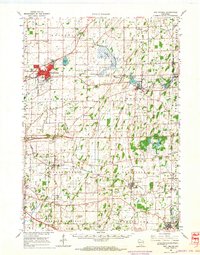 1962 Sun Prairie1964 Print · USGSEastern Dane County thrives as a rail-connected agricultural region in the early sixties, centered on the growing community of Sun Prairie. Researchers can trace old family roots through numerous landmarks like the Prairie Queen Sch, York Center Ch, and the Liberty Prairie Cem.2 unique versions available
 - 1980 Map of North Bristol
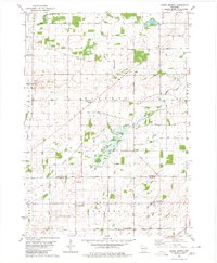 1980 North Bristol1980 Print · USGSThe agricultural heartland of Columbia and Dane Counties is captured here in the late 1970s. Local researchers can trace family lands and rural landmarks like Hampden Cemetery, the Hampden School, and the winding Crawfish River.
 - 1980 Map of Columbus, 1981 Print
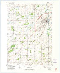 1980 Columbus1981 Print · USGSColumbus and the surrounding townships thrive along the Crawfish River during the early 1980s, where rail and river define the landscape. Local historians can trace family-named roads and rural sites like North York Cem, Townhall, and the Wisconsin Academy.
 - 1991 Map of Madison
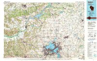 1991 Madison1991 Print · USGSMadison and its iconic glacial lakes are captured here during a time of steady urban expansion and regional growth. Researchers can trace the mid-century development of the University of Wisconsin, locate family sites near Forest Hill Cem, or explore the footprint of the Badger Army Ammunition Plant.
 - 2010 Map of North Bristol, 2010 Print
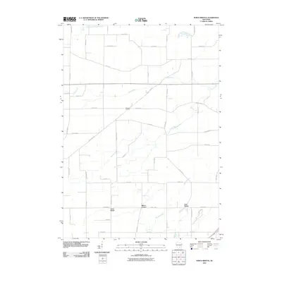 2010 North Bristol2010 Print · USGSWisconsin’s agricultural heartland is documented here in the early twenty-first century, showing the rural landscape around Windsor and Bristol. Researchers can trace land ownership patterns near North Bristol and locate landmarks like Hampden Cemetery or East Bristol.
 - 2010 Map of Columbus, 2010 Print
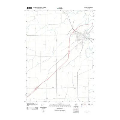 2010 Columbus2010 Print · USGSThe community of Columbus is shown at a modern crossroads in the early twenty-first century, where the river and rail lines meet. Genealogists can locate several burial grounds including Hillside Cemetery and Oak Lawn Cemetery, or trace the Udeys WP73 Dam and Math-Aire Field.
 - 2010 Map of Sun Prairie, 2010 Print
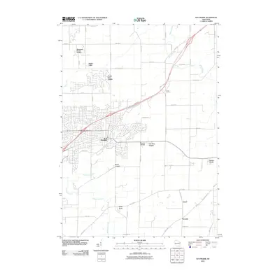 2010 Sun Prairie2010 Print · USGSNortheast Dane County at the turn of the decade reveals the steady outward expansion of Sun Prairie into the surrounding Wisconsin farmland. Genealogists and local historians can locate smaller communities like Pierceville and trace family-named crossroads such as Buss's Corners.
 - 2010 Map of Marshall, 2010 Print
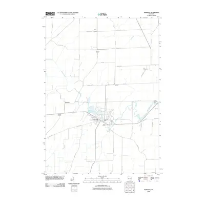 2010 Marshall2010 Print · USGSDane County's rural landscape is captured here in the early twenty-first century, centered on the village of Marshall. Researchers can trace the lineage of local families through sites like York Center Cemetery, Deansville Cemetery, and the banks of the Maunesha River.
 - 2013 Map of Marshall, 2013 Print
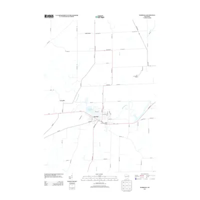 2013 Marshall2013 Print · USGSAgricultural Dane County comes into focus in this recent survey of the settlements between Madison and Waterloo. Researchers can map the modern layout of Marshall and Deansville, or locate landmarks like the Der Schwarzwald Airport and Marshall Millpond 72.
 - 2013 Map of North Bristol, 2013 Print
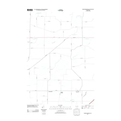 2013 North Bristol2013 Print · USGSWisconsin dairy country and rural crossroads define this 2013 landscape north of Madison. Genealogists and local historians can trace family-named routes and small hamlets like North Bristol, Bakers Corners, and East Bristol along the Crawfish River.
 - 2013 Map of Sun Prairie, 2013 Print
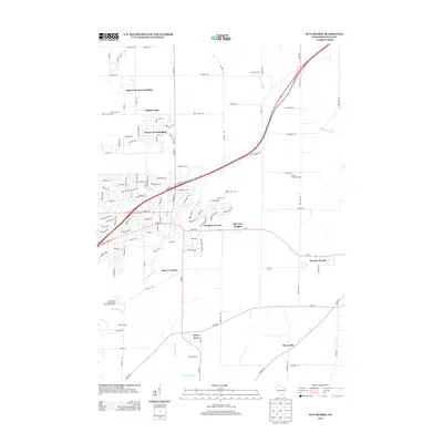 2013 Sun Prairie2013 Print · USGSGreater Sun Prairie is captured here in the early twenty-first century as suburban growth meets long-standing agricultural lands. Genealogists and local historians can trace the transition from rural sites like Buss's Corners and Pierceville to newer developments such as Sherwood Forest Heights.
 - 2013 Map of Columbus, 2013 Print
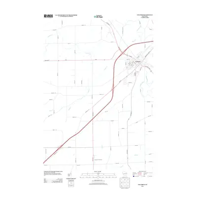 2013 Columbus2013 Print · USGSThe river town of Columbus is captured here in the early 2010s, showing a detailed layout of its residential streets and rural outskirts. Local historians can trace family-named routes and landmarks like Mathaire Field Airport and the winding Crawfish River.
 - 2016 Map of Sun Prairie, 2016 Print
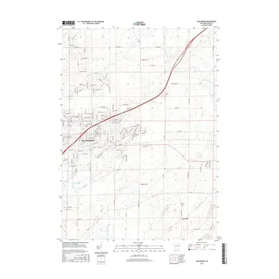 2016 Sun Prairie2016 Print · USGSThe growing city of Sun Prairie and its surrounding townships are shown here during a period of significant residential expansion. Local historians can trace established landmarks like Pierceville and the Bristol Cem alongside the waters of the Maunesha River.
 - 2016 Map of North Bristol, 2016 Print
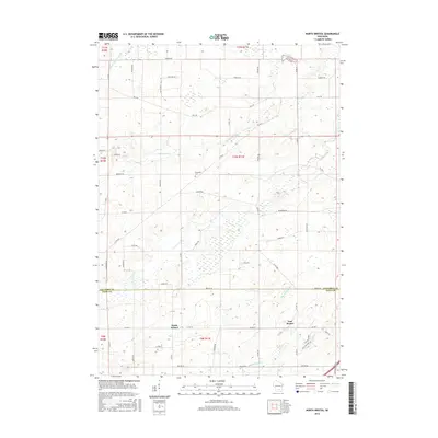 2016 North Bristol2016 Print · USGSThe rural borderlands of Dane and Columbia Counties are captured here in the early twenty-first century as agricultural traditions meet modern residential growth. Genealogists and local historians can locate Hampden Cem or trace family holdings near North Bristol and East Bristol.
 - 2016 Map of Columbus, 2016 Print
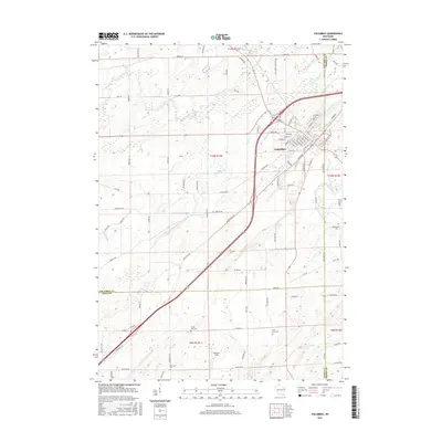 2016 Columbus2016 Print · USGSWisconsin's southern prairie and river lands are documented here in 2016, centered on the growing town of Columbus. Researchers can trace local lineage through rural burial sites like Hillside Cem or follow the path of the Crawfish River and Mill Pond.
 - 2016 Map of Marshall, 2016 Print
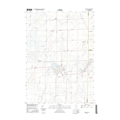 2016 Marshall2016 Print · USGSDane and Dodge counties meet in this detailed 2010s survey of the central Wisconsin dairy corridor and the village of Marshall. Researchers can trace old family sites across a landscape dotted with the Deansville Cem, York Center Cem, and the waters of the Maunesha River.
Showing maps 1-25 of 33
Top cities near York
- Madison historical maps
- Sun Prairie historical maps
- Beaver Dam historical maps
- Windsor historical maps
- McFarland historical maps
- Lake Mills historical maps
See more
Top neighborhoods of York
Frequently asked questions
- What are the different types of historical maps available for York?
- What is the oldest map of York?
- Where can I purchase historical maps of York for my home or office?
- Where can I download high-res historical maps of York?
- Are there historical topographic maps available for York?
- Is there historical aerial imagery available for York?
- Where are historical maps of York sourced from?