Old Maps of Kekoskee, Wisconsin for Metal Detecting
Plan your next treasure hunt with 35 historic maps of Kekoskee. Find old homesites, ghost towns, trails, and gathering spots that may be lost to time — perfect for identifying promising metal detecting locations.
- Locate forgotten sites: Uncover places like long-lost settlements, abandoned rail lines, or gathering spots.
- Plan better hunts: Use map overlays combined with LiDAR or satellite views to narrow in on historically rich areas.
- Made for detectorists: Thousands of hobbyists use these maps to discover relics, coins, and hidden history.
Use these historic maps to boost your research and find new opportunities beneath the surface of Kekoskee.
Kekoskee, WI maps
(35)- 1955 Map of Waupun, 1957 Print
 1955 Waupun1957 Print · USGSIn the mid-1950s, the Dodge and Fond du Lac county border was defined by the massive wetland expanse of the Horicon Marsh. Genealogists and local historians can trace rural school locations like Cattaraugus Sch and the institutional grounds of the State Prison in Waupun.2 unique versions available
 - 1955 Map of Horicon, 1971 Print
 1955 Horicon1971 Print · USGSDodge County's river-and-rail landscape is captured here in the mid-fifties, centered on the wetlands of the Horicon Marsh. Genealogists and local historians can trace rural roots through numerous country schools and cemeteries, from Minnesota Junction to the Holy Assumption Cem and Woodland Road Sch.
 - 1957 Map of Madison, 1967 Print
 1957 Madison1967 Print · USGSSouth-central Wisconsin in the mid-fifties reveals a landscape of industrial hubs and glacial lakes linked by a dense rail and highway network. Genealogists and historians can trace the development of lakeside communities and find notable sites like Badger Ordnance Works and the Horicon National Wildlife Refuge.3 unique versions available
 - 1960 Map of Madison
 1960 Madison1960 Print · USGSCentral and Southern Wisconsin are captured in the late fifties, showing the region as its rail-and-river network matured. Trace the paths of the Soo Line RR or locate family roots near Lake Mendota and Horicon National Wildlife Refuge.2 unique versions available
 - 1975 Map of Horicon NW, 1977 Print
 1975 Horicon NW1977 Print · USGSDodge County in the mid-1970s is captured here in an aerial photographic survey showing the intersection of local industry and nature. Researchers can trace the residential layouts of Juneau and Horicon or explore the wild terrain of the Horicon Marsh Wildlife Area.
 - 1975 Map of Horicon NE, 1977 Print
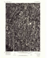 1975 Horicon NE1977 Print · USGSDodge County farmland and the edge of a massive wetland complex are captured in this mid-seventies aerial study. Trace the residential growth of Mayville and Iron Ridge or examine the shoreline of Sinnissippi Lake.
 - 1975 Map of Waupun SE, 1977 Print
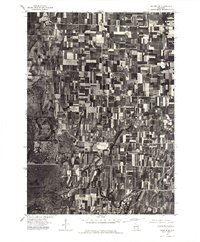 1975 Waupun SE1977 Print · USGSDodge County agricultural lands and the eastern edge of the marsh are captured here in the mid-seventies. Researchers can trace the layout of Mayville and rural hamlets like Leroy and Kekoskee against the Horicon Marsh.
 - 1975 Map of Waupun SW, 1977 Print
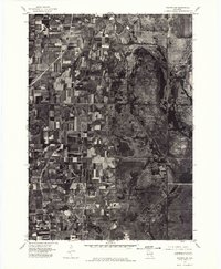 1975 Waupun SW1977 Print · USGSThe Dodge County wetlands and agricultural frontier are captured in this mid-seventies aerial survey. Researchers can trace the boundaries of the Horicon National Wildlife Refuge and the southern edge of Waupun.
 - 1980 Map of Fond Du Lac
 1980 Fond Du Lac1980 Print · USGSThe Fox River Valley and Horicon Marsh meet here during the late twentieth century, showing a transition from lakeside industry to glacial conservation. Genealogists can locate family sites at Estabrook Cem or trace the rail lines through Ripon and Waupun.
 - 1980 Map of Waupun South, 1981 Print
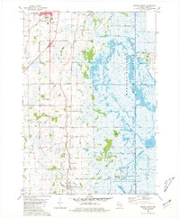 1980 Waupun South1981 Print · USGSDodge County's expansive wetlands and rural townships are frozen in time during the early eighties. Genealogists and historians can trace the foundations of Atwater, Burnett, and Chester, alongside landmarks like Burnett Union Cem and the Chester Sch.
 - 1980 Map of Horicon, 1981 Print
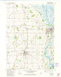 1980 Horicon1981 Print · USGSDodge County's transition from marshland to agricultural rail hubs is captured here in the early eighties. Researchers can trace family sites and local infrastructure through numerous landmarks like St Marys Cem, Minnesota Junction, and the Dodge County Airport.
 - 1980 Map of Mayville South, 1981 Print
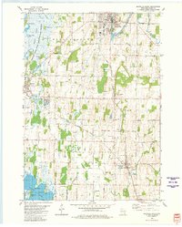 1980 Mayville South1981 Print · USGSDodge County in the late seventies is captured here, from the industrial corridors of the Rock River to the vast wetlands of the Horicon Marsh. Trace local family roots through numerous sites like Township Cem, St Johns Ch, and the rural Southview Sch.
 - 1981 Map of Mayville North
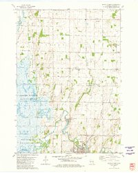 1981 Mayville North1981 Print · USGSDodge County in the early eighties shows a landscape shaped by the sprawling Horicon Marsh and the industry of its small towns. Genealogists can trace family roots at St Paul Cem or Tidyman Cem, while mapping the rail lines through Nasbro and Knowles.
 - 1984 Map of Oconomowoc, 1985 Print
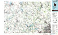 1984 Oconomowoc1985 Print · USGSSoutheast Wisconsin in the mid-eighties shows a landscape defined by its glacial heritage and expanding metropolitan corridors. Genealogists and historians can trace the development of lakeside communities like Oconomowoc and Pewaukee, or find established settlements such as Watertown and Beaver Dam.
 - 1991 Map of Oconomowoc
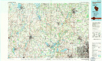 1991 Oconomowoc1991 Print · USGSSoutheastern Wisconsin in the early nineties shows a landscape of glacial lakes and growing suburbs. Trace local history through Aztalan State Park, Carroll College, and the sprawling Horicon Marsh State Wildlife Area.
 - 2010 Map of Mayville North, 2010 Print
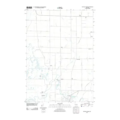 2010 Mayville North2010 Print · USGSDodge County agricultural life near the turn of the 21st century centers on the river and its millponds. Researchers can trace family roots at Mount Pleasant Cemetery or locate the Golden Grove School and Kekoskee Dam.
 - 2010 Map of Mayville South, 2010 Print
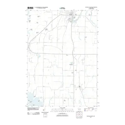 2010 Mayville South2010 Print · USGSDodge County, Wisconsin, at the start of the 2010s shows a landscape of small river towns and enduring rural infrastructure. Researchers can locate numerous family burial sites such as Saint Paul Cemetery and Rex Cemetery, or trace the winding course of the Rock River past Quick Point.
 - 2010 Map of Horicon, 2010 Print
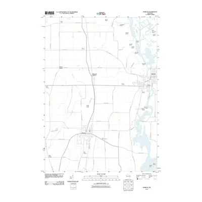 2010 Horicon2010 Print · USGSDodge County at the start of the 2010s shows a landscape of river islands and agricultural hubs. Researchers can trace family history through sites like Saint Johns Cemetery or locate landmarks like the Juneau Post Office and Horicon WP317 Dam.
 - 2010 Map of Waupun South, 2010 Print
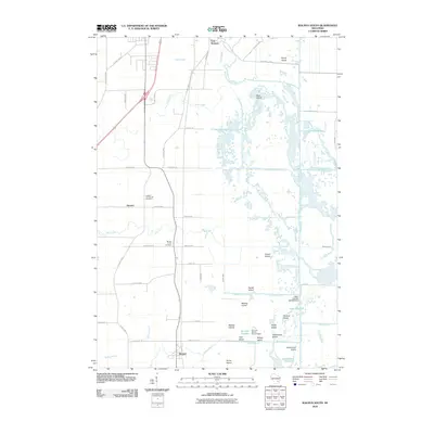 2010 Waupun South2010 Print · USGSThe rural landscape south of Waupun was shaped by the marshlands of the Rock River at the start of the 21st century. Genealogists and local historians can locate family burial sites at Atwater Community Cemetery and trace the islands of the Burnett Flowage.
 - 2013 Map of Mayville North, 2013 Print
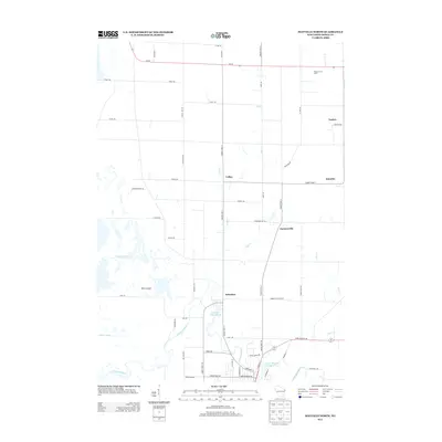 2013 Mayville North2013 Print · USGSDodge County's agricultural heartland is captured here in the early twenty-first century, centered on the historic millponds of the Rock River. Local historians can trace the layouts of Kekoskee, LeRoy, and Farmersville, or locate the Golden Grove School and Piepers Fruit Farm.
 - 2013 Map of Waupun South, 2013 Print
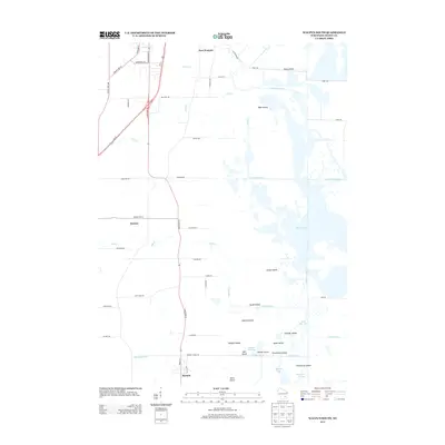 2013 Waupun South2013 Print · USGSDodge County, Wisconsin, is shown here in the early 2010s, featuring a landscape defined by the intricate wetlands and drainage systems of the Rock River basin. Researchers can trace the layout of Burnett, Atwater, and East Waupun alongside distinctive landmarks like Mieske Bay and Steamboat Island.
 - 2013 Map of Horicon, 2013 Print
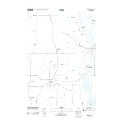 2013 Horicon2013 Print · USGSHoricon and Juneau represent the urban hubs of central Dodge County in the early twenty-first century. Genealogists and local researchers can trace the corridors of Minnesota Junction or locate landmarks like the Dodge County Airport and Sinissippi Lake.
 - 2013 Map of Mayville South, 2013 Print
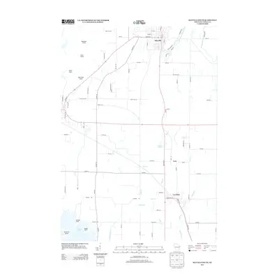 2013 Mayville South2013 Print · USGSDodge County's agrarian landscape and river corridors are captured here in the early twenty-first century. Genealogists and local historians can trace the developments around Mayville, Iron Ridge, and Neda, or locate family landmarks like Radloff Point and Zion Church Rd.
 - 2015 Map of Waupun South, 2015 Print
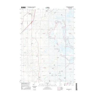 2015 Waupun South2015 Print · USGSThe southern outskirts of Waupun and the vast reaches of the Horicon Marsh are documented here in the mid-2010s. Researchers can trace the heritage of Burnett and locate historic burial grounds like Atwater Community Cem and Burnett Union Cem.
 - 2015 Map of Mayville North, 2015 Print
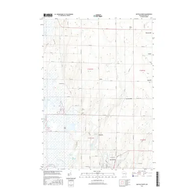 2015 Mayville North2015 Print · USGSDodge County's river valleys and agricultural lands are captured here in the early twenty-first century. Researchers can trace family history at Tidyman Cem or explore the milling history along the East Branch Rock River near Kekoskee.
Showing maps 1-25 of 35
Top cities near Kekoskee
- Fond du Lac historical maps
- Beaver Dam historical maps
- Hartford historical maps
- Mayville historical maps
- Horicon historical maps
- Addison historical maps
See more
Top neighborhoods of Kekoskee
Frequently asked questions
- What are the different types of historical maps available for Kekoskee?
- What is the oldest map of Kekoskee?
- Where can I purchase historical maps of Kekoskee for my home or office?
- Where can I download high-res historical maps of Kekoskee?
- Are there historical topographic maps available for Kekoskee?
- Is there historical aerial imagery available for Kekoskee?
- Where are historical maps of Kekoskee sourced from?