2000s (21st Century) Maps of Mayville, Wisconsin
Explore 10 historic maps of Mayville from the 2000s (21st Century). These maps offer a rare glimpse into what life looked like during the 2000s — showing old roads, neighborhoods, homes, and landmarks that have changed or disappeared over time.
Whether you're researching your family's past, planning a metal detecting trip, or studying how Mayville's landscape evolved across the 2000s, these high-resolution maps are a powerful tool for exploring the history of this region.
- Focus on a specific era: All maps on this page are from the 2000s, giving you a focused view of this time period.
- See what’s changed: Compare century-old streets, trails, and buildings to today's modern landscape using overlays and satellite layers.
- Research with precision: Use these maps for genealogy, historical research, land use analysis, or educational projects.
- View, download, or print: Maps are fully viewable online in high resolution, and can be downloaded or printed for your own records.
Start exploring Mayville's history through authentic maps from the 2000s. This is your window into the past.
Mayville, WI maps
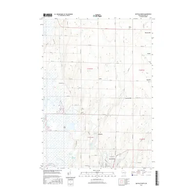
(10)- 2010 Map of Mayville North, 2010 Print
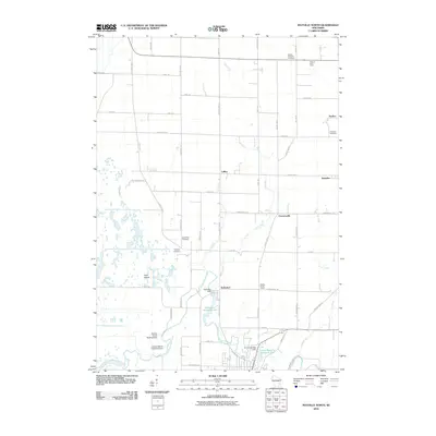 2010 Mayville North2010 Print · USGSCovers Mayville, including Brownsville, Theresa, and other nearby areas
 - 2010 Map of Mayville South, 2010 Print
 2010 Mayville South2010 Print · USGSCovers Mayville, including Horicon, Iron Ridge, and other nearby areas
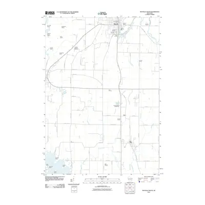
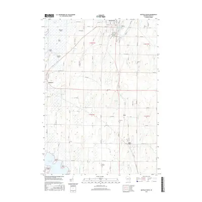
 - 2013 Map of Mayville North, 2013 Print
 2013 Mayville North2013 Print · USGSCovers Mayville, including Brownsville, Theresa, and other nearby areas
 - 2013 Map of Mayville South, 2013 Print
 2013 Mayville South2013 Print · USGSCovers Mayville, including Horicon, Iron Ridge, and other nearby areas
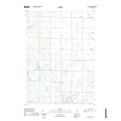
 - 2015 Map of Mayville North, 2015 Print
 2015 Mayville North2015 Print · USGSCovers Mayville, including Brownsville, Theresa, and other nearby areas
 - 2015 Map of Mayville South, 2015 Print
 2015 Mayville South2015 Print · USGSCovers Mayville, including Horicon, Iron Ridge, and other nearby areas
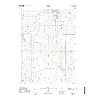
 - 2018 Map of Mayville North, 2018 Print
 2018 Mayville North2018 Print · USGSCovers Mayville, including Brownsville, Theresa, and other nearby areas
 - 2018 Map of Mayville South, 2018 Print
 2018 Mayville South2018 Print · USGSCovers Mayville, including Horicon, Iron Ridge, and other nearby areas
 - 2022 Map of Mayville South, 2022 Print
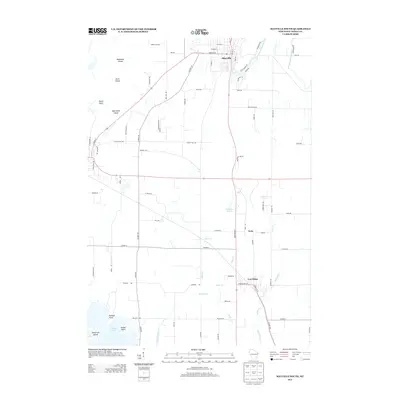
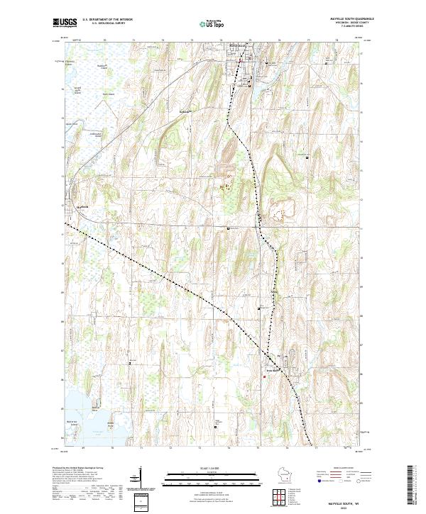 2022 Mayville South2022 Print · USGSDodge County's river valleys and glacial marshlands are documented here in the early twenty-first century. Researchers can trace family roots through numerous local burial grounds like Graceland Cem and find old homesteads near Kekoskee and Iron Ridge.
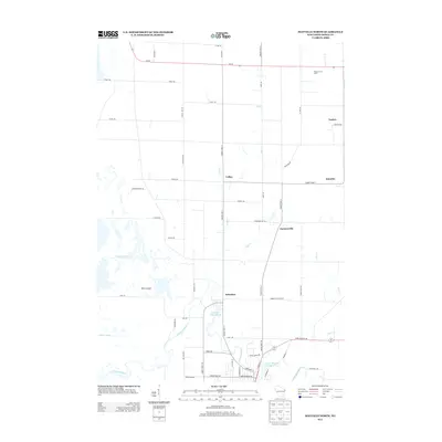
 - 2022 Map of Mayville North, 2022 Print
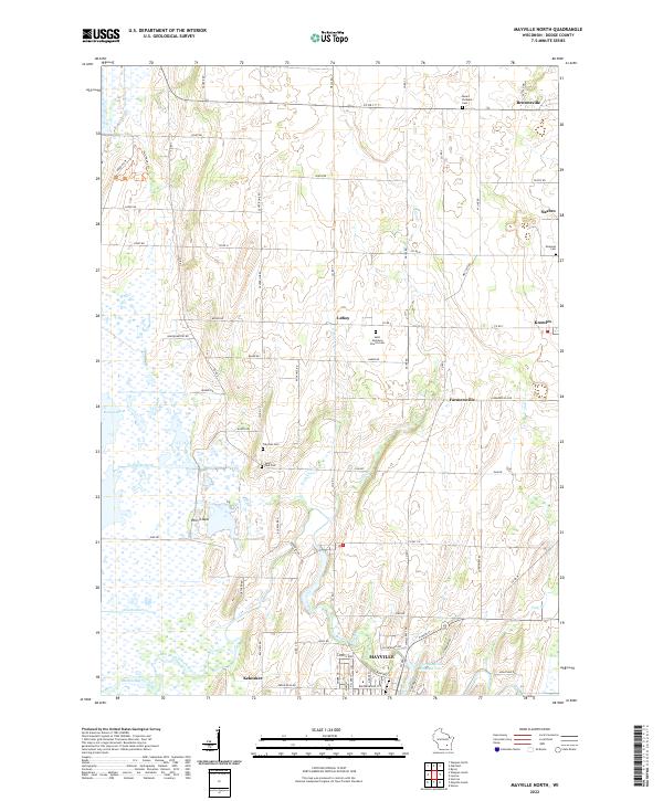 2022 Mayville North2022 Print · USGSDodge County's landscape is captured here in the early 2020s, showing the intersection of industrial towns and the expansive Horicon Marsh. Researchers can trace the layout of Mayville or locate local family sites at Saint Paul Cem and Tidyman Cem.
End of results
Showing maps 1-10 of 10
Top cities near Mayville
- Hartford historical maps
- Slinger historical maps
- Horicon historical maps
- Addison historical maps
- Waupun historical maps
- Juneau historical maps
See more
Frequently asked questions
- What are the different types of historical maps available for Mayville?
- What is the oldest map of Mayville?
- Where can I purchase historical maps of Mayville for my home or office?
- Where can I download high-res historical maps of Mayville?
- Are there historical topographic maps available for Mayville?
- Is there historical aerial imagery available for Mayville?
- Where are historical maps of Mayville sourced from?