Old Maps of Sturgeon Bay, Wisconsin for Genealogy
Trace your family roots with 16 historic maps of Sturgeon Bay. These high-res maps reveal old neighborhoods, homesites, landmarks, and streets — helping you uncover where your ancestors lived and how the area evolved over time.
- Explore historic neighborhoods: Identify where your relatives may have lived in the 1800s or 1900s.
- Compare maps over time: Trace the changes in streets, buildings, and landmarks for multi-generational research.
- Perfect for genealogy & ancestry research: Used by family historians and researchers to map out lineage and migration.
These maps are an incredible resource for exploring your personal connection to Sturgeon Bay's past.
Sturgeon Bay, WI maps
(16)- 1954 Map of Manitowoc, 1968 Print
 1954 Manitowoc1968 Print · USGSLake Michigan served as a vital transit corridor in the mid-fifties, with car and auto ferries linking the industrial ports of Wisconsin to the Michigan timberlands. Genealogists and maritime historians can trace active ferry routes like the Ann Arbor Railway Car and Auto Ferry and locate early settlements from Brussels to Algoma.2 unique versions available
 - 1958 Map of Manitowoc
 1958 Manitowoc1958 Print · USGSLake Michigan and its shorelines are shown in the late fifties when maritime transport defined the region. Researchers can trace the routes of the Ann Arbor Railroad Ferry or locate old settlements like St. Nazianz, Rostock, and Two Creeks.
 - 1960 Map of Sturgeon Bay, 1962 Print
 1960 Sturgeon Bay1962 Print · USGSThe Door County peninsula in the early sixties shows a bustling maritime corridor defined by the Sturgeon Bay ship canal. Researchers can locate numerous vanished country schoolhouses like Hainesville Sch, the Ahnapee and Western rail line, and family landmarks like Monument Point.
 - 1981 Map of Sturgeon Bay West
 1981 Sturgeon Bay West1981 Print · USGSThe Door Peninsula's rugged coast and maritime corridors are captured here in the early eighties. Genealogists and historians can trace family-named sites like Schulties Cem, the old Ahnapee and Western rail line, and Hainesville.
 - 1981 Map of Sturgeon Bay East
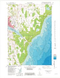 1981 Sturgeon Bay East1981 Print · USGSThe Door County coast comes alive in the early eighties as the city of Sturgeon Bay expands toward Lake Michigan. Genealogy and local-history researchers can locate the St Joseph Cem, the Drive-in Theater, and the U S Coast Guard Station.2 unique versions available
 - 1984 Map of Sturgeon Bay, 1985 Print
 1984 Sturgeon Bay1985 Print · USGSDoor Peninsula and the Kewaunee coast are documented here in the mid-eighties, showing the deep-water harbor at Sturgeon Bay and the rural agricultural interior. Genealogists can trace family roots through crossroads towns like Kolberg, Duvall, and Sugar Bush.2 unique versions available
 - 2010 Map of Sturgeon Bay East, 2010 Print
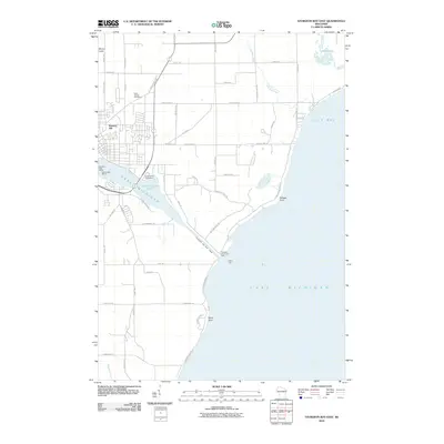 2010 Sturgeon Bay East2010 Print · USGSThe Door Peninsula's maritime character is on full display in the early twenty-first century as it centers on the vital link between Green Bay and Lake Michigan. Genealogists and historians can trace the area's development through landmarks like Saint Joseph Cemetery, the Sturgeon Bay Canal Light, and the Sturgeon Yacht Harbor.
 - 2010 Map of Sturgeon Bay West, 2010 Print
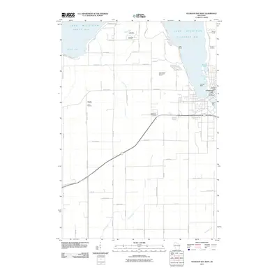 2010 Sturgeon Bay West2010 Print · USGSThe Door County peninsula is captured here in the early twenty-first century, showing the critical maritime corridor where the city meets the bay. Researchers can locate numerous rural family burial grounds like Schulties Cemetery and Bayside Cemetery, or trace the development around Potawatomi State Park.
 - 2013 Map of Sturgeon Bay West, 2013 Print
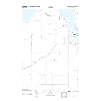 2013 Sturgeon Bay West2013 Print · USGSSturgeon Bay stands at the heart of this Wisconsin peninsula survey during the early twenty-first century. Genealogists and local historians can trace family road names and shoreline changes near Potawatomi State Park, the Sturgeon Bay Bridge, and the Door County Cherryland Airport.
 - 2013 Map of Sturgeon Bay East, 2013 Print
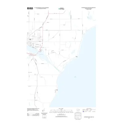 2013 Sturgeon Bay East2013 Print · USGSSturgeon Bay in the early 2010s shows a landscape defined by its maritime heritage and the deep cut of the Sturgeon Bay Ship Canal. Trace the development of Stevens Hill, locate Snug Harbor Yacht Basin, or explore the orchards and coastal points like Portage Point.
 - 2015 Map of Sturgeon Bay West, 2015 Print
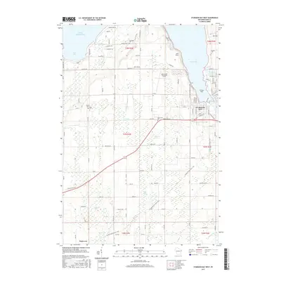 2015 Sturgeon Bay West2015 Print · USGSSturgeon Bay and the Door County peninsula are captured here in the mid-2010s, showcasing the intersection of maritime life and inland agriculture. Researchers can trace the layout of local landmarks like Door County Cherryland Airport, Salem Ch, and the Hainesville Cem.
 - 2015 Map of Sturgeon Bay East, 2015 Print
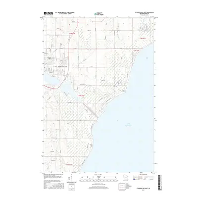 2015 Sturgeon Bay East2015 Print · USGSSturgeon Bay and the surrounding Door County coast are captured here in 2015 as the maritime economy meets the Lake Michigan shoreline. Genealogists and local historians can trace family plots at Saint Joseph Cem or locate landmarks like Stevens Hill and Portage Point.
 - 2018 Map of Sturgeon Bay East, 2018 Print
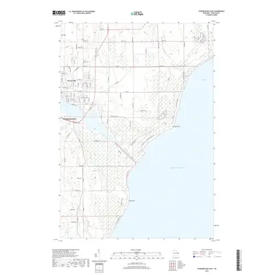 2018 Sturgeon Bay East2018 Print · USGSCoastal Door County is captured here in the late twenty-teens, showing the vital maritime corridor of the Sturgeon Bay Ship Canal. Researchers can trace local landmarks like Saint Joseph Cem or explore the shoreline at Portage Point and Lilly Bay.
 - 2018 Map of Sturgeon Bay West, 2018 Print
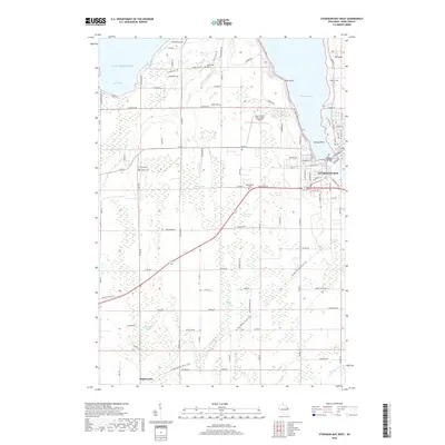 2018 Sturgeon Bay West2018 Print · USGSDoor County's western shore and the city of Sturgeon Bay are captured here in the late 2010s. Local history researchers can trace the locations of family-named landmarks and rural burial grounds like Hainesville Cemetery and Schumacher Cemetery among the peninsula's coastal wetlands.
 - 2022 Map of Sturgeon Bay West, 2022 Print
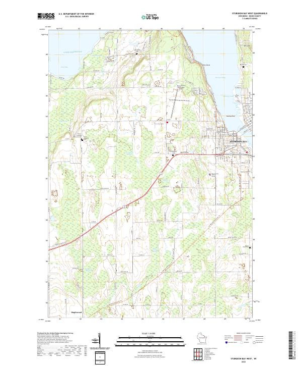 2022 Sturgeon Bay West2022 Print · USGSDoor County’s western shoreline and the city of Sturgeon Bay are captured in the early 2020s, showing a mix of maritime industry and rural farmland. Genealogists can locate several family and community landmarks, including Hainesville Cem, Schumacher Cem, and the village of Maplewood.
 - 2022 Map of Sturgeon Bay East, 2022 Print
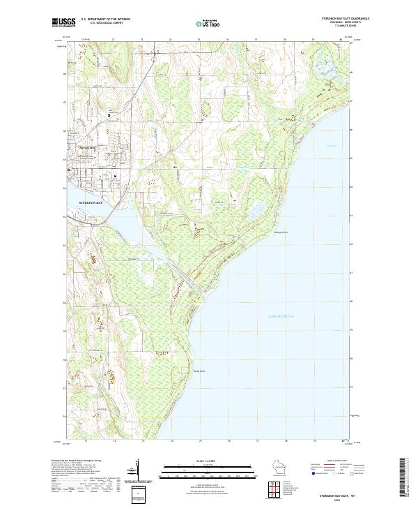 2022 Sturgeon Bay East2022 Print · USGSThe eastern reaches of Sturgeon Bay and the Lake Michigan shoreline are captured here in the early twenty-first century. Genealogists and local historians can trace the city’s expansion toward Stevens Hill, the grounds of Saint Joseph Cem, and the vital Sturgeon Bay Ship Canal.
End of results
Showing maps 1-16 of 16
Top cities near Sturgeon Bay
- Algoma historical maps
- Brussels historical maps
- Baileys Harbor historical maps
- Lincoln historical maps
- Jacksonport historical maps
- Forestville historical maps
See more
Top neighborhoods of Sturgeon Bay
Frequently asked questions
- What are the different types of historical maps available for Sturgeon Bay?
- What is the oldest map of Sturgeon Bay?
- Where can I purchase historical maps of Sturgeon Bay for my home or office?
- Where can I download high-res historical maps of Sturgeon Bay?
- Are there historical topographic maps available for Sturgeon Bay?
- Is there historical aerial imagery available for Sturgeon Bay?
- Where are historical maps of Sturgeon Bay sourced from?