2000s (21st Century) Maps of Douglas County, Wisconsin
Explore 180 historic maps of Douglas County from the 2000s (21st Century). These maps offer a rare glimpse into what life looked like during the 2000s — showing old roads, neighborhoods, homes, and landmarks that have changed or disappeared over time.
Whether you're researching your family's past, planning a metal detecting trip, or studying how Douglas County's landscape evolved across the 2000s, these high-resolution maps are a powerful tool for exploring the history of this region.
- Focus on a specific era: All maps on this page are from the 2000s, giving you a focused view of this time period.
- See what’s changed: Compare century-old streets, trails, and buildings to today's modern landscape using overlays and satellite layers.
- Research with precision: Use these maps for genealogy, historical research, land use analysis, or educational projects.
- View, download, or print: Maps are fully viewable online in high resolution, and can be downloaded or printed for your own records.
Start exploring Douglas County's history through authentic maps from the 2000s. This is your window into the past.
Douglas County, WI maps
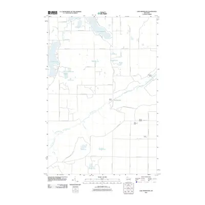
(180)- 2010 Map of Amnicon Lake, 2010 Print
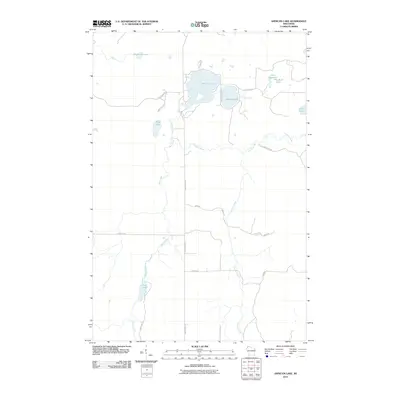 2010 Amnicon Lake2010 Print · USGSCovers Douglas County, including Gordon, Oakland, and other nearby areas
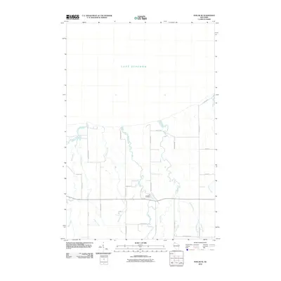
 - 2010 Map of Empire Swamp, 2010 Print
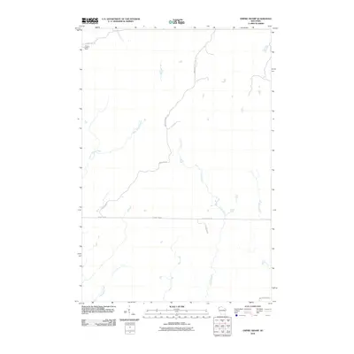 2010 Empire Swamp2010 Print · USGSCovers Douglas County, including Gordon, Dairyland, and other nearby areas
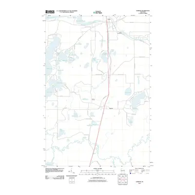
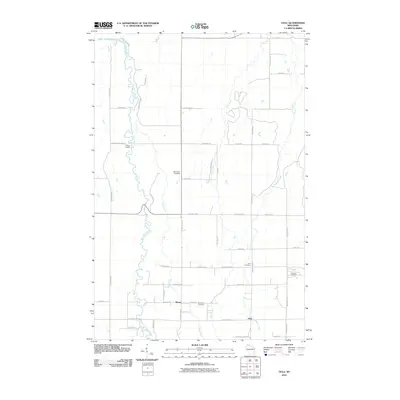
 - 2010 Map of Dairyland, 2010 Print
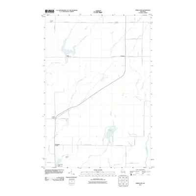 2010 Dairyland2010 Print · USGSCovers Douglas County, including Dairyland, Blaine, and other nearby areas
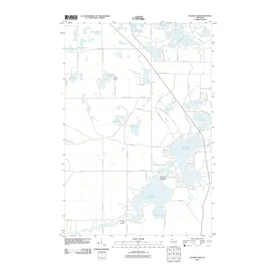
 - 2010 Map of Moose Junction, 2010 Print
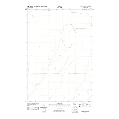 2010 Moose Junction2010 Print · USGSCovers Douglas County, including Dairyland, Moose Junction, and other nearby areas
 - 2010 Map of Sunnyside, 2010 Print
 2010 Sunnyside2010 Print · USGSCovers Douglas County, including Parkland, Superior, and other nearby areas
 - 2010 Map of Patzau, 2010 Print
 2010 Patzau2010 Print · USGSCovers Douglas County, including Chaffey, Patzau, and other nearby areas
 - 2010 Map of Borea, 2010 Print
 2010 Borea2010 Print · USGSCovers Douglas County, including Superior, Anton, and other nearby areas
 - 2010 Map of Scovils Lake, 2010 Print
 2010 Scovils Lake2010 Print · USGSCovers Douglas County, including Gordon, Wascott, and other nearby areas
 - 2010 Map of Brule, 2010 Print
 2010 Brule2010 Print · USGSCovers Douglas County, including Brule, Oulu, and other nearby areas
 - 2010 Map of Buckety Creek, 2010 Print
 2010 Buckety Creek2010 Print · USGSCovers Douglas County, including Gordon, Solon Springs, and other nearby areas
 - 2010 Map of Bennett, 2010 Print
 2010 Bennett2010 Print · USGSCovers Douglas County, including Hawthorne, Bennett, and other nearby areas
 - 2010 Map of Chittamo NE, 2010 Print
 2010 Chittamo NE2010 Print · USGSCovers Douglas County, including Gordon, Wascott, and other nearby areas
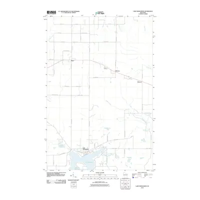
 - 2010 Map of Lake Minnesuing, 2010 Print
 2010 Lake Minnesuing2010 Print · USGSCovers Douglas County, including Hawthorne, Lake Nebagamon, and other nearby areas
 - 2010 Map of Poplar NE, 2010 Print
 2010 Poplar NE2010 Print · USGSCovers Douglas County, including Lakeside, Amnicon, and other nearby areas
 - 2010 Map of Gordon, 2010 Print
 2010 Gordon2010 Print · USGSCovers Douglas County, including Gordon, Wascott, and other nearby areas
 - 2010 Map of Ellison Lake, 2010 Print
 2010 Ellison Lake2010 Print · USGSCovers Douglas County, including Gordon, Barnes, and other nearby areas
 - 2010 Map of Poplar, 2010 Print
 2010 Poplar2010 Print · USGSCovers Douglas County, including Hawthorne, Poplar, and other nearby areas
 - 2010 Map of Minong Flowage, 2010 Print
 2010 Minong Flowage2010 Print · USGSCovers Douglas County, including Gordon, Wascott, and other nearby areas
 - 2010 Map of Lyman Lake, 2010 Print
 2010 Lyman Lake2010 Print · USGSCovers Douglas County, including Hawthorne, Gordon, and other nearby areas
 - 2010 Map of Chittamo, 2010 Print
 2010 Chittamo2010 Print · USGSCovers Douglas County, including Gordon, Wascott, and other nearby areas
 - 2010 Map of Cloverland, 2010 Print
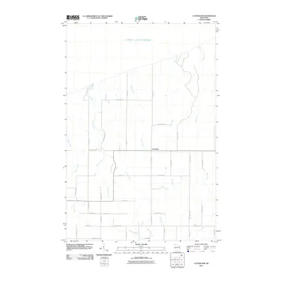 2010 Cloverland2010 Print · USGSCovers Douglas County, including Maple, Brule, and other nearby areas
 - 2010 Map of Lake Nebagamon, 2010 Print
 2010 Lake Nebagamon2010 Print · USGSCovers Douglas County, including Hawthorne, Lake Nebagamon, and other nearby areas
 - 2010 Map of Oulu, 2010 Print
 2010 Oulu2010 Print · USGSCovers Douglas County, including Brule, Cloverland, and other nearby areas
 - 2010 Map of Metzger Lake, 2010 Print
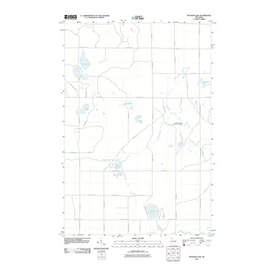 2010 Metzger Lake2010 Print · USGSCovers Douglas County, including Gordon, Highland, and other nearby areas
 - 2010 Map of Island Lake, 2010 Print
 2010 Island Lake2010 Print · USGSCovers Douglas County, including Barnes, Highland, and other nearby areas
Showing maps 1-25 of 180
Top cities of Douglas County
- Superior historical maps
- Parkland historical maps
- Hawthorne historical maps
- Lake Nebagamon historical maps
- Gordon historical maps
- Wascott historical maps
See more
Frequently asked questions
- What are the different types of historical maps available for Douglas County?
- What is the oldest map of Douglas County?
- Where can I purchase historical maps of Douglas County for my home or office?
- Where can I download high-res historical maps of Douglas County?
- Are there historical topographic maps available for Douglas County?
- Is there historical aerial imagery available for Douglas County?
- Where are historical maps of Douglas County sourced from?