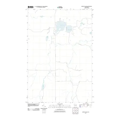
2010 Map of Amnicon Lake
USGS Topo · Published 2010About this map
Amnicon Lake and its surrounding wetlands dominate the northern landscape of this Douglas County region, feeding the winding path of the Amnicon River. The area is characterized by a high density of small water bodies, including Dowling Lake, Reichuster Lake, and Bear Lake, which are interconnected by a network of drainage systems like Ericson Creek and Bear Creek. Local transit is defined by a grid of rural roads and tracks such as S County Hwy A and E Pioneer Trl, which navigate the lowland terrain and provide access to isolated lakefronts. Small, eponymous water features like One Buck Lake and Scout Lake suggest a history of local land use tied to the region's diverse aquatic environment, providing a detailed view of the Northwoods hydrology at the start of the 21st century.
Find a feature on this map
23 named features on this map. Tap any name to fly to it.
Don’t see what you’re looking for? This feature index may not catch every label — zoom into the map to look around manually.
Map Details
Editions of this 2010 Amnicon Lake Map
This is the sole edition of this map. No revisions or reprints were ever made.
Other maps of this area

1915 · Superior
USGS Topo · 1:48,000

1917 · Superior
USGS Topo · 1:62,500

1945 · Solon Springs
USGS Topo · 1:48,000

1949 · Solon Springs
USGS Topo · 1:48,000

1949 · Patzau
USGS Topo · 1:48,000

1949 · Poplar
USGS Topo · 1:48,000

1953 · Ashland
USGS Topo · 1:250,000

1953 · Duluth
USGS Topo · 1:250,000

1954 · Borea
USGS Topo · 1:24,000

1954 · Sunnyside
USGS Topo · 1:24,000