
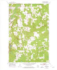
1954 Map of Sunnyside
USGS Topo · Published 1955About this map
Pattison State Park dominates the southwestern quadrant of this mid-century survey, centered on the dramatic descent of the Black River through Big Manitou Falls and into Interfalls Lake. The landscape reveals a transition from the preserved wilderness of the park to the organized rural settlements of Oakland and Summit. Local community life is anchored by landmarks like Manitou Falls Ch and the Oakland Sch, while the presence of the Concrete Sch (Abandoned) suggests shifts in local population or school consolidation by the early 1950s.
Find a feature on this map
26 named features on this map. Tap any name to fly to it.
Don’t see what you’re looking for? This feature index may not catch every label — zoom into the map to look around manually.
Map Details
Editions of this 1954 Sunnyside Map
2 editions found
Other maps of this area

1915 · Superior
USGS Topo · 1:48,000

1917 · Superior
USGS Topo · 1:62,500

1945 · Solon Springs
USGS Topo · 1:48,000

1949 · Solon Springs
USGS Topo · 1:48,000

1949 · Patzau
USGS Topo · 1:48,000

1949 · Poplar
USGS Topo · 1:48,000

1953 · Ashland
USGS Topo · 1:250,000

1953 · Duluth
USGS Topo · 1:250,000

1954 · West Duluth
USGS Topo · 1:24,000

1954 · Borea
USGS Topo · 1:24,000