
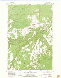
1954 Map of Borea
USGS Topo · Published 1955About this map
Pattison State Park dominates the southeastern quadrant of this mid-century survey, featuring the striking Little Manitou Falls and numerous gravel pits that hint at the region's geological utility. The landscape is defined by the winding course of the Nemadji River and its tributaries, including Balsam Creek and Rock Creek, which cut deep through the township boundaries of Superior and Summit.
Find a feature on this map
27 named features on this map. Tap any name to fly to it.
Don’t see what you’re looking for? This feature index may not catch every label — zoom into the map to look around manually.
Map Details
Editions of this 1954 Borea Map
2 editions found
Other maps of this area

1915 · Superior
USGS Topo · 1:48,000

1917 · Superior
USGS Topo · 1:62,500

1949 · Holyoke
USGS Topo · 1:48,000

1949 · Patzau
USGS Topo · 1:48,000

1953 · Duluth
USGS Topo · 1:250,000

1954 · West Duluth
USGS Topo · 1:24,000

1954 · Foxboro
USGS Topo · 1:24,000

1954 · Sunnyside
USGS Topo · 1:24,000
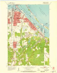
1954 · Superior
USGS Topo · 1:24,000

1954 · Amnicon Lake
USGS Topo · 1:24,000