Old Maps of Cloverland, Wisconsin for Hiking & Exploration
Hike through history with 23 historic maps of Cloverland. Explore old trails, ghost towns, and forgotten backroads — perfect for outdoor adventurers and local explorers.
- Rediscover forgotten places: Map out old mining camps, roads, and footpaths that no longer exist on modern maps.
- Layer with modern tools: Combine with LiDAR or satellite views to plan hikes through historical terrain.
- Made for exploration: Popular among hikers, overlanders, and local history lovers.
Use these maps to find adventure and explore the hidden past of Cloverland.
Cloverland, WI maps
(23)- 1947 Map of Brule
 1947 Brule1947 Print · USGSDouglas and Bayfield counties are seen here in the mid-1940s, where the legendary trout waters of the Bois Brule River meet the Lake Superior shoreline. Genealogists and local historians can locate early homesteading landmarks like Rest Haven Cem, St Ann Ch, and the rural community hubs of Cloverland and Maple.2 unique versions available
 - 1953 Map of Ashland, 1964 Print
 1953 Ashland1964 Print · USGSNorthern Wisconsin's lakefront and timberlands are seen here in the mid-1950s, showing the intersection of industrial rail lines and vast wilderness. Genealogists and historians can trace the Soo Line through rail towns like Mellen or locate family roots in the Apostle Islands and Bad River Indian Reservation.3 unique versions available
 - 1954 Map of Cloverland, 1955 Print
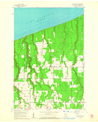
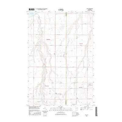
 1954 Cloverland1955 Print · USGSThe Douglas County shoreline along Lake Superior is captured here in the mid-fifties as rural communities and infrastructure expanded. Genealogists and local historians can locate Cloverland and family-centered landmarks like Maple Ch and Emmanuel Ch.
 - 1958 Map of Ashland
 1958 Ashland1958 Print · USGSCoastal Wisconsin and the Michigan borderlands meet here in the late fifties, dominated by the timbered expanses and iron-rich ranges. Genealogists can trace family footprints in settlements like Odanah and Montreal, or locate landmarks such as the Coast Guard Station and Agricultural Experiment Station.
 - 1961 Map of Cloverland, 1962 Print
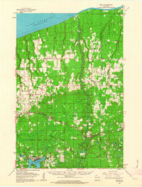
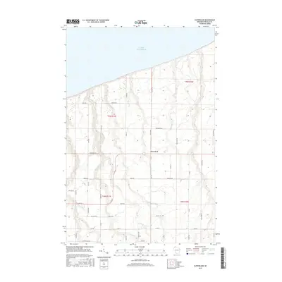
 1961 Cloverland1962 Print · USGSThe Douglas County coast of Lake Superior is captured here in the early sixties, showing a landscape of timber and small rural settlements. Genealogists and local historians can trace family-named creeks like Haukkala Creek and landmarks such as the Maple Ch.2 unique versions available
 - 1961 Map of Brule, 1963 Print
 1961 Brule1963 Print · USGSNorthern Wisconsin's lake country and timberlands are captured here in the early sixties, showing the transition from the Brule River valley to the big lake. Researchers can trace family roots at Rest Haven Cem, locate the State Fish Hatchery, and follow the Northern Pacific Railroad through Blueberry.2 unique versions available
 - 1980 Map of Port Wing
 1980 Port Wing1980 Print · USGSThe Lake Superior shoreline and the deep forests of Bayfield and Douglas counties are captured here in the early eighties. Genealogists and historians can trace the rail lines through Iron River or locate the lakeside landings at Cornucopia and Port Wing.
 - 1984 Map of Oulu
 1984 Oulu1984 Print · USGSCoastal Douglas and Bayfield Counties meet the shore of Lake Superior here in the mid-1980s. Local researchers can trace family sites near Waino and Oulu, or locate landmarks along the famous Bois Brule River like Shale Falls and McNeil Landing.
 - 2010 Map of Cloverland, 2010 Print
 2010 Cloverland2010 Print · USGSCovers Cloverland, including Maple, Brule, and other nearby areas
 - 2010 Map of Oulu, 2010 Print
 2010 Oulu2010 Print · USGSCovers Cloverland, including Brule, Oulu, and other nearby areas
 - 2011 Map of Oulu OE N, 2011 Print
 2011 Oulu OE N2011 Print · USGSCovers Cloverland, including Orienta, Douglas County, and other nearby areas
 - 2013 Map of Cloverland, 2013 Print
 2013 Cloverland2013 Print · USGSCovers Cloverland, including Maple, Brule, and other nearby areas
 - 2013 Map of Oulu, 2013 Print
 2013 Oulu2013 Print · USGSCovers Cloverland, including Brule, Oulu, and other nearby areas
 - 2013 Map of Oulu OE N, 2013 Print
 2013 Oulu OE N2013 Print · USGSCovers Cloverland, including Orienta, Douglas County, and other nearby areas
 - 2015 Map of Oulu, 2015 Print
 2015 Oulu2015 Print · USGSCovers Cloverland, including Brule, Oulu, and other nearby areas
 - 2015 Map of Cloverland, 2015 Print
 2015 Cloverland2015 Print · USGSCovers Cloverland, including Maple, Brule, and other nearby areas
 - 2015 Map of Oulu OE N, 2015 Print
 2015 Oulu OE N2015 Print · USGSCovers Cloverland, including Orienta, Douglas County, and other nearby areas
 - 2018 Map of Cloverland, 2018 Print
 2018 Cloverland2018 Print · USGSCovers Cloverland, including Maple, Brule, and other nearby areas
 - 2018 Map of Oulu, 2018 Print
 2018 Oulu2018 Print · USGSCovers Cloverland, including Brule, Oulu, and other nearby areas
 - 2018 Map of Oulu OE N, 2018 Print
 2018 Oulu OE N2018 Print · USGSCovers Cloverland, including Orienta, Douglas County, and other nearby areas
 - 2022 Map of Cloverland, 2022 Print
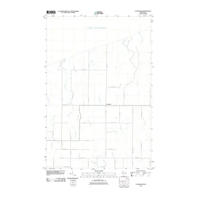
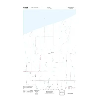
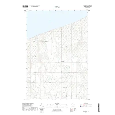
 2022 Cloverland2022 Print · USGSThe northern shore of Douglas County meets the water in this recent survey of a coastal Wisconsin township. Family historians can trace local roots through Covenant Cem and family-named routes like Skoglund Rd or Becks Rd.
 - 2022 Map of Oulu, 2022 Print
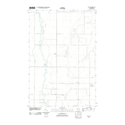
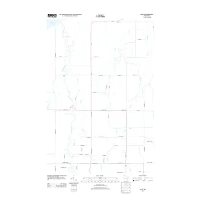
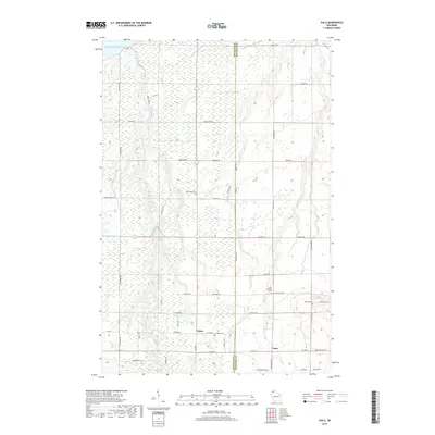
 2022 Oulu2022 Print · USGSNorthern Wisconsin lakefront and river valley lands are captured here in the early twenty-first century. Genealogists can locate family landmarks like Oulu Lutheran Cem and trace rural roads like Tikkanen Rd near Waino.
 - 2022 Map of Oulu OE N, 2022 Print
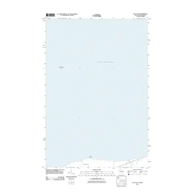
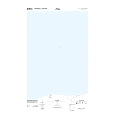
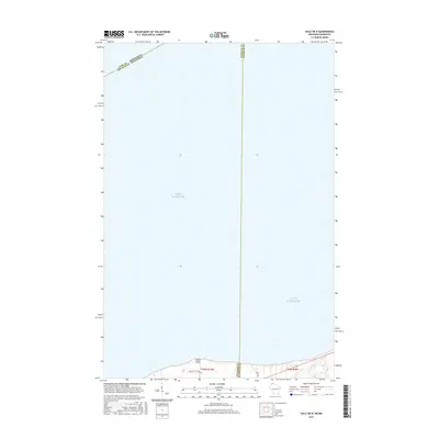
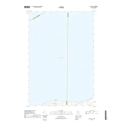
 2022 Oulu OE N2022 Print · USGSThe southern shoreline of Lake Superior and the jurisdictional meeting of Wisconsin and Minnesota are mapped here in the early twenty-first century. Researchers can trace the coastal geography near Brule Point and follow local roads like Bracketts Corner Rd.
End of results
Showing maps 1-23 of 23
Top cities near Cloverland
- Hawthorne historical maps
- Iron River historical maps
- Lake Nebagamon historical maps
- Maple historical maps
- Brule historical maps
- Bennett historical maps
See more
Frequently asked questions
- What are the different types of historical maps available for Cloverland?
- What is the oldest map of Cloverland?
- Where can I purchase historical maps of Cloverland for my home or office?
- Where can I download high-res historical maps of Cloverland?
- Are there historical topographic maps available for Cloverland?
- Is there historical aerial imagery available for Cloverland?
- Where are historical maps of Cloverland sourced from?