Old Maps of Superior, Wisconsin for Metal Detecting
Plan your next treasure hunt with 43 historic maps of Superior. Find old homesites, ghost towns, trails, and gathering spots that may be lost to time — perfect for identifying promising metal detecting locations.
- Locate forgotten sites: Uncover places like long-lost settlements, abandoned rail lines, or gathering spots.
- Plan better hunts: Use map overlays combined with LiDAR or satellite views to narrow in on historically rich areas.
- Made for detectorists: Thousands of hobbyists use these maps to discover relics, coins, and hidden history.
Use these historic maps to boost your research and find new opportunities beneath the surface of Superior.
Superior, WI maps
(43)- 1915 Map of Superior
 1915 Superior1915 Print · USGSThe Twin Ports region at the peak of the industrial era shows a landscape defined by massive rail yards and shoreline development. Genealogists and historians can locate early neighborhoods like Morgan Park, find rural landmarks like Saunders Cem, and trace the numerous lines of the Northern Pacific railroad.2 unique versions available
 - 1917 Map of Superior
 1917 Superior1917 Print · USGSThe Twin Ports region at the height of its industrial boom reveals a landscape of massive rail yards and shipping docks. Trace the development of South Superior and Steelton, or locate early rural landmarks like Selden School and Manitou Falls.3 unique versions available
 - 1953 Map of Duluth, 1964 Print
 1953 Duluth1964 Print · USGSNortheastern Minnesota and northwestern Wisconsin are shown here during a period of industrial maturity and expanding conservation. Genealogists and historians can trace rail-connected towns like McGrath and Wahkon, or locate heritage sites within the Fond du Lac Indian Reservation.2 unique versions available
 - 1954 Map of West Duluth, 1955 Print
 1954 West Duluth1955 Print · USGSThe industrial waterfronts of the Twin Ports are captured here during the mid-fifties, showing the dense rail networks and residential neighborhoods of the St. Louis River valley. Researchers can trace family sites and local landmarks from Morgan Park to the Oneota Cemetery and the height of Bardon Peak.9 unique versions available
 - 1954 Map of Borea, 1955 Print
 1954 Borea1955 Print · USGSDouglas County was a bustling rail corridor in the mid-fifties, where multiple major lines intersected near the winding Nemadji River. You can trace the historic rail junctions at Boylston, locate St Aloysius Ch, and explore the early layout of Pattison State Park.2 unique versions available
 - 1954 Map of Sunnyside, 1955 Print
 1954 Sunnyside1955 Print · USGSDouglas County landscape in the mid-1950s shows a region of heavy timber, active rail junctions, and the early development of Pattison State Park. Genealogists and hikers can trace old landmarks like the Manitou Falls Ch, Nemadji Sch, and the winding Old Railroad Grade.2 unique versions available
 - 1954 Map of Superior, 1955 Print
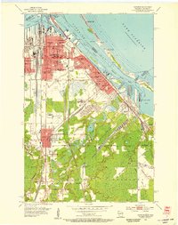 1954 Superior1955 Print · USGSThe industrial waterfront of Superior at mid-century is captured in this survey, showing a landscape defined by shipping and rail. Researchers can trace family roots through numerous sites like St Francis Cem, Wisconsin State College, and South Itasca.6 unique versions available
 - 1954 Map of Frogner, 1955 Print
 1954 Frogner1955 Print · USGSThe Minnesota and Wisconsin borderlands come alive in the 1950s, showing a landscape shaped by the Nemadji River and heavy rail traffic. Genealogists and rail historians can trace the paths of the Great Northern through Wrenshall or locate the Foxboro Sch and Maccabee Cem.4 unique versions available
 - 1954 Map of Esko, 1955 Print
 1954 Esko1955 Print · USGSThe St. Louis River valley and the community of Esko are shown here in the mid-1950s as the region's rail and park systems were fully established. Genealogists and local historians can trace the early footprints of Fond du Lac, the Finnish Ch, and the winding Duluth Missabe and Iron Range railroad.5 unique versions available
 - 1954 Map of Superior, 1959 Print
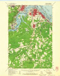 1954 Superior1959 Print · USGSThe Twin Ports and Douglas County are captured in the mid-fifties, showing the industrial waterfronts and rail yards at their peak. Researchers can locate vanished landmarks like the Concrete Sch or trace family roots at St Joseph Orphanage and Morgan Park.
 - 1958 Map of Duluth
 1958 Duluth1958 Print · USGSNortheastern Minnesota and the Wisconsin borderlands are shown in detail during the late 1950s, centered on the bustling rail yards and ports of Duluth. You can trace the historic routes of the Soo Line and Duluth Missabe & Iron Range through small towns like McGrath, Bruno, and Wrenshall.
 - 1980 Map of Duluth
 1980 Duluth1980 Print · USGSThe Twin Ports of the early 1980s showcase a landscape defined by heavy rail lines and Lake Superior shipping. Trace the iron-ore routes through Proctor or locate family sites near Sunrise Memorial Cem and Floodwood.
 - 1997 Map of West Duluth, 1999 Print
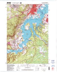 1997 West Duluth1999 Print · USGSThe industrial heart of the Twin Ports comes alive in this late-century study of the riverfront and its rail-connected neighborhoods. Genealogists and historians can trace family roots through Oneota Cemetery or locate old school sites like St Patricks Sch and Stowe Sch.
 - 2010 Map of Sunnyside, 2010 Print
 2010 Sunnyside2010 Print · USGSDouglas County near the southern reaches of Lake Superior is shown here at the start of the 2010s. Researchers can trace the watercourses of the Nemadji River and locate local landmarks such as Big Manitou Falls and Boylston Junction.
 - 2010 Map of Borea, 2010 Print
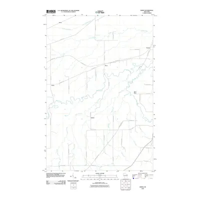 2010 Borea2010 Print · USGSDouglas County south of Superior is shown in detail at the beginning of the twenty-first century, featuring the winding Nemadji River valley. Genealogists and hikers can trace the Gandy Dancer Trl and small settlements like Dedham and Borea.
 - 2010 Map of West Duluth, 2010 Print
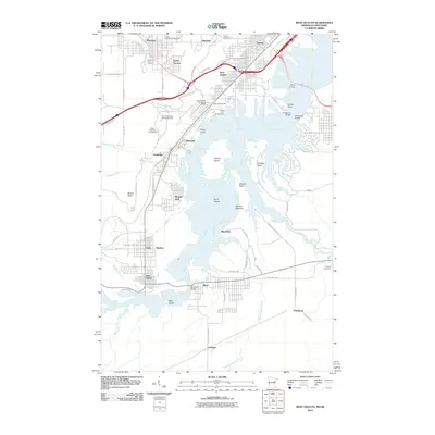 2010 West Duluth2010 Print · USGSThe industrial and recreational landscape of the lower Saint Louis River is captured here in the early twenty-first century. Researchers can trace the boundaries of historic company towns like Morgan Park or locate family plots at Oneota Cemetery and Calvary Cemetery.
 - 2010 Map of Frogner, 2010 Print
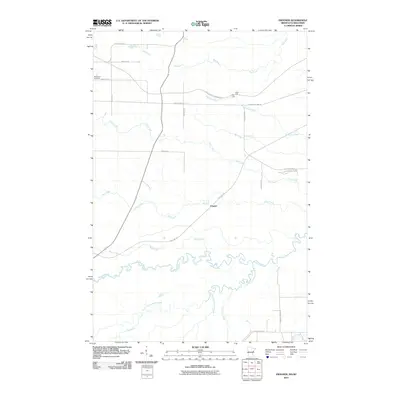 2010 Frogner2010 Print · USGSThe borderlands of Carlton County and Douglas County come into focus during the early twenty-first century as old rail lines transform into trails. Researchers can trace local genealogy at MacCabee Cemetery or follow the paths of the Soo Line Trl and the Nemadji River.
 - 2010 Map of Superior, 2010 Print
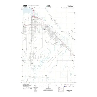 2010 Superior2010 Print · USGSThe Lake Superior shoreline and the busy port of Superior are captured here in the early twenty-first century. Researchers can trace family history through numerous local landmarks like Riverside Cemetery, the University of Wisconsin-Superior Campus, and Barkers Island.
 - 2011 Map of Esko, 2011 Print
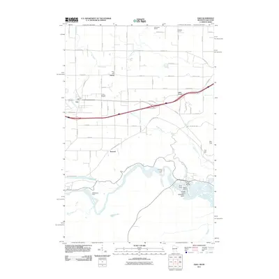 2011 Esko2011 Print · USGSThe Saint Louis River valley outside Duluth comes alive in this 2011 survey, showing a landscape of hydroelectric power and deep-rooted settlements. Genealogists can locate family landmarks like the Finnish Apostolic Cemetery and the Harney Post Office.
 - 2013 Map of Sunnyside, 2013 Print
 2013 Sunnyside2013 Print · USGSDouglas County near the turn of the twenty-first century reveals a landscape shaped by the Nemadji River and its winding tributaries. Genealogists and local historians can trace family-named routes and landmarks near Sunnyside, Boylston Junction, and the impressive Big Manitou Falls.
 - 2013 Map of Borea, 2013 Print
 2013 Borea2013 Print · USGSDouglas County south of Superior remains a landscape of winding river valleys and rural crossroads in the early twenty-first century. Researchers can trace the drainage of the Nemadji River and locate historic community points like Dedham, Boylston, and Borea.
 - 2013 Map of Superior, 2013 Print
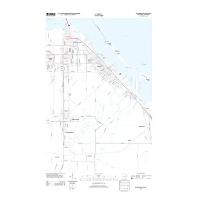 2013 Superior2013 Print · USGSThe Lake Superior shoreline and its industrial waterfront are captured here in the early twenty-first century. Genealogists and local historians can trace the development of neighborhoods like South Superior and Peyton alongside the Nemadji River.
 - 2013 Map of Frogner, 2013 Print
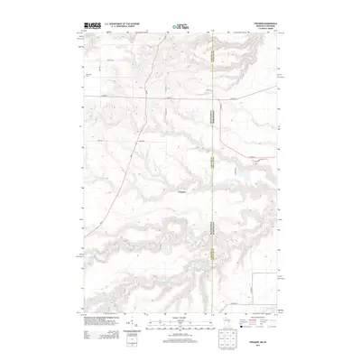 2013 Frogner2013 Print · USGSThe Minnesota-Wisconsin borderlands come to life in this early twenty-first-century survey of the rural corridor near Frogner. Researchers can trace local heritage at MacCabee Cem and follow the intricate winding paths of the Nemadji River and its south forks.
 - 2013 Map of Esko, 2013 Print
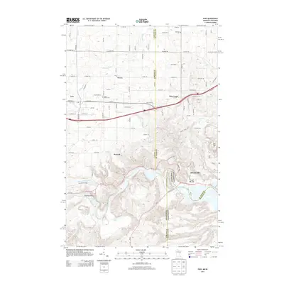 2013 Esko2013 Print · USGSThe borderlands of Minnesota and Wisconsin are mapped here in the early twenty-first century as they meet the banks of the Saint Louis River. Genealogists and local historians can trace family connections at the Finnish Apostolic Cem and locate historic crossroads like Eldes Corner and Harney.
 - 2013 Map of West Duluth, 2013 Print
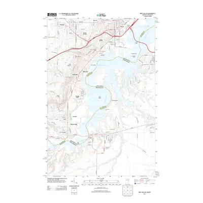 2013 West Duluth2013 Print · USGSThe industrial riverfront of Duluth and its neighboring suburbs are captured here in the early twenty-first century. Researchers can trace the development of planned communities like Morgan Park or locate family sites near Oneota Cem and Graceland Cem.
Showing maps 1-25 of 43
Top cities near Superior
- Duluth historical maps
- Superior historical maps
- Hermantown historical maps
- Proctor historical maps
- Parkland historical maps
- Carlton historical maps
See more
Top neighborhoods of Superior
- Carnegie historical maps
- Pokegama historical maps
- Town of Superior historical maps
- Sunnyside historical maps
- Black River historical maps
- Borea historical maps
See more
Frequently asked questions
- What are the different types of historical maps available for Superior?
- What is the oldest map of Superior?
- Where can I purchase historical maps of Superior for my home or office?
- Where can I download high-res historical maps of Superior?
- Are there historical topographic maps available for Superior?
- Is there historical aerial imagery available for Superior?
- Where are historical maps of Superior sourced from?