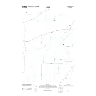
2013 Map of Borea
USGS Topo · Published 2013About this map
Borea and the surrounding Douglas County countryside are defined by a complex network of waterways feeding toward Lake Superior. The Nemadji River serpentines through the center of the map, joined by numerous tributaries including Balsam Cr, Miller Cr, and Rock Cr. Small settlements like Dedham, Boylston, and Dewey are positioned along the primary transport corridors, such as E Military Rd and S State Road 35. In the southeastern corner, the terrain drops at Little Manitou Falls, a notable geological feature where Rock Cr flows toward the larger river system. The map also shows Anton in the north, situated near the Little Pokegama River. This 2013 survey illustrates the persistent rural character of the region, where family-named roads like S Jake Schmid Rd and S Reed Merrill Rd indicate long-standing local ties to the land.
Find a feature on this map
48 named features on this map. Tap any name to fly to it.
Don’t see what you’re looking for? This feature index may not catch every label — zoom into the map to look around manually.
Map Details
Editions of this 2013 Borea Map
This is the sole edition of this map. No revisions or reprints were ever made.
Other maps of this area

1915 · Superior
USGS Topo · 1:48,000

1917 · Superior
USGS Topo · 1:62,500

1949 · Holyoke
USGS Topo · 1:48,000

1949 · Patzau
USGS Topo · 1:48,000

1953 · Duluth
USGS Topo · 1:250,000

1954 · West Duluth
USGS Topo · 1:24,000

1954 · Borea
USGS Topo · 1:24,000

1954 · Foxboro
USGS Topo · 1:24,000

1954 · Sunnyside
USGS Topo · 1:24,000
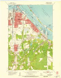
1954 · Superior
USGS Topo · 1:24,000