2000s (21st Century) Maps of Stanton, Wisconsin
Explore 20 historic maps of Stanton from the 2000s (21st Century). These maps offer a rare glimpse into what life looked like during the 2000s — showing old roads, neighborhoods, homes, and landmarks that have changed or disappeared over time.
Whether you're researching your family's past, planning a metal detecting trip, or studying how Stanton's landscape evolved across the 2000s, these high-resolution maps are a powerful tool for exploring the history of this region.
- Focus on a specific era: All maps on this page are from the 2000s, giving you a focused view of this time period.
- See what’s changed: Compare century-old streets, trails, and buildings to today's modern landscape using overlays and satellite layers.
- Research with precision: Use these maps for genealogy, historical research, land use analysis, or educational projects.
- View, download, or print: Maps are fully viewable online in high resolution, and can be downloaded or printed for your own records.
Start exploring Stanton's history through authentic maps from the 2000s. This is your window into the past.
Stanton, WI maps
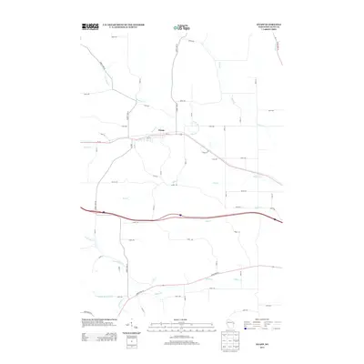
(20)- 2010 Map of Wilson, 2010 Print
 2010 Wilson2010 Print · USGSCovers Stanton, including Spring Valley, Town of Cady, and other nearby areas
 - 2010 Map of Knapp, 2010 Print
 2010 Knapp2010 Print · USGSCovers Stanton, including Knapp, Teegarden, and other nearby areas
 - 2010 Map of Glenwood City, 2010 Print
 2010 Glenwood City2010 Print · USGSCovers Stanton, including Glenwood City, Glenwood, and other nearby areas
 - 2010 Map of Boyceville, 2010 Print
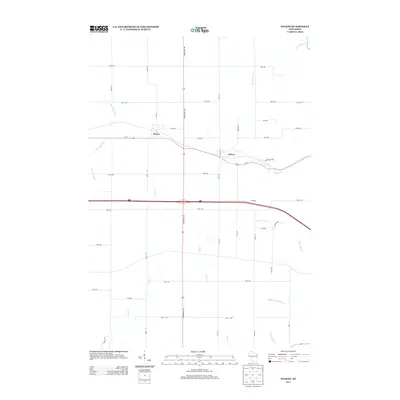
 2010 Boyceville2010 Print · USGSCovers Stanton, including Boyceville, Downing, and other nearby areas
 - 2013 Map of Knapp, 2013 Print
 2013 Knapp2013 Print · USGSCovers Stanton, including Knapp, Teegarden, and other nearby areas
 - 2013 Map of Wilson, 2013 Print
 2013 Wilson2013 Print · USGSCovers Stanton, including Spring Valley, Town of Cady, and other nearby areas
 - 2013 Map of Boyceville, 2013 Print
 2013 Boyceville2013 Print · USGSCovers Stanton, including Boyceville, Downing, and other nearby areas
 - 2013 Map of Glenwood City, 2013 Print
 2013 Glenwood City2013 Print · USGSCovers Stanton, including Glenwood City, Glenwood, and other nearby areas
 - 2015 Map of Boyceville, 2015 Print
 2015 Boyceville2015 Print · USGSCovers Stanton, including Boyceville, Downing, and other nearby areas
 - 2015 Map of Knapp, 2015 Print
 2015 Knapp2015 Print · USGSCovers Stanton, including Knapp, Teegarden, and other nearby areas
 - 2015 Map of Wilson, 2015 Print
 2015 Wilson2015 Print · USGSCovers Stanton, including Spring Valley, Town of Cady, and other nearby areas
 - 2015 Map of Glenwood City, 2015 Print
 2015 Glenwood City2015 Print · USGSCovers Stanton, including Glenwood City, Glenwood, and other nearby areas
 - 2018 Map of Wilson, 2018 Print
 2018 Wilson2018 Print · USGSCovers Stanton, including Spring Valley, Town of Cady, and other nearby areas
 - 2018 Map of Knapp, 2018 Print
 2018 Knapp2018 Print · USGSCovers Stanton, including Knapp, Teegarden, and other nearby areas
 - 2018 Map of Boyceville, 2018 Print
 2018 Boyceville2018 Print · USGSCovers Stanton, including Boyceville, Downing, and other nearby areas
 - 2018 Map of Glenwood City, 2018 Print
 2018 Glenwood City2018 Print · USGSCovers Stanton, including Glenwood City, Glenwood, and other nearby areas
 - 2022 Map of Boyceville, 2022 Print
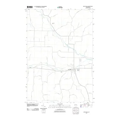
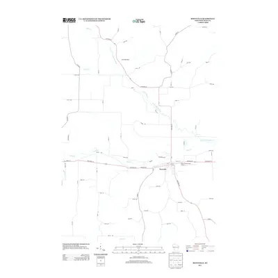
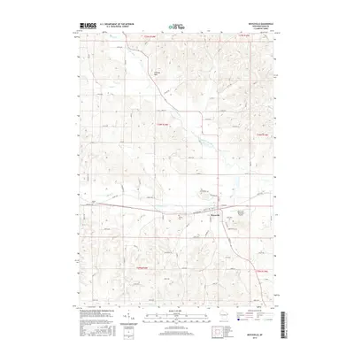
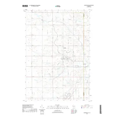
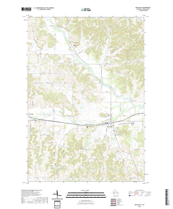 2022 Boyceville2022 Print · USGSThe Boyceville and Downing corridor of Dunn County is documented here during the early twenty-first century. Genealogists can locate family sites near Mound Cem, Tiffany Cem, and the landmark Chimney Rock.
 - 2022 Map of Knapp, 2022 Print
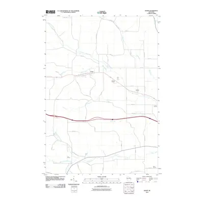
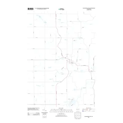
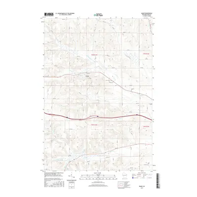
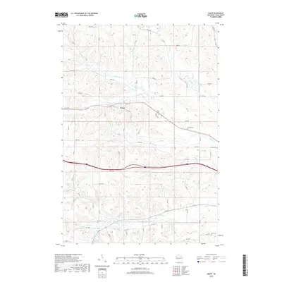
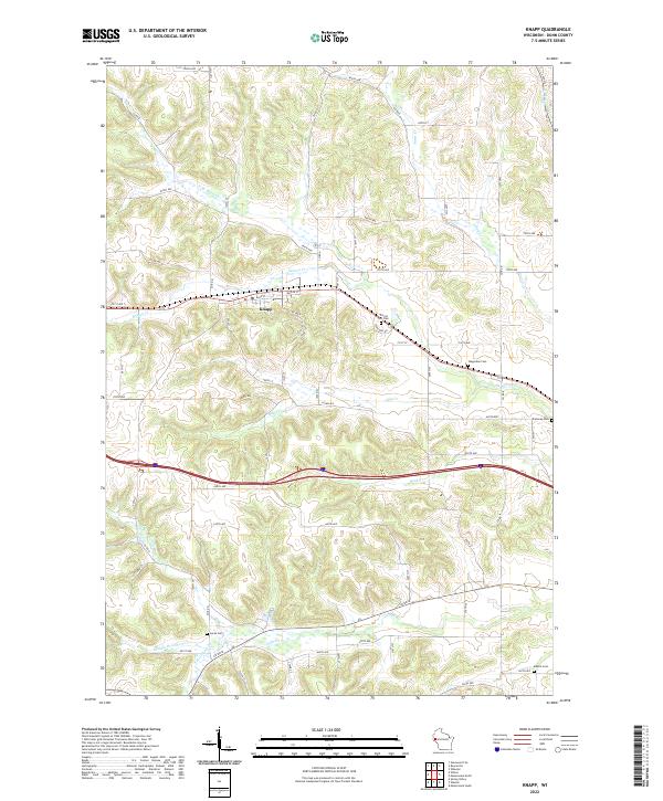 2022 Knapp2022 Print · USGSThe village of Knapp is the focal point of this recent Dunn County survey, illustrating the area's rural character and complex drainage basins. Genealogists can locate several family burial sites like Forest Hill Cem and Teegarden Cem.
 - 2022 Map of Wilson, 2022 Print
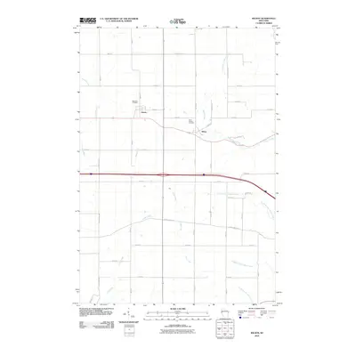
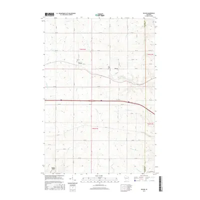
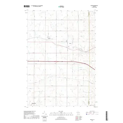
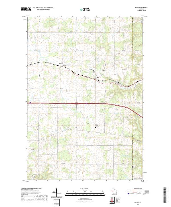 2022 Wilson2022 Print · USGSWest-central Wisconsin in the early 2020s shows a landscape of long-standing rural villages and deeply carved creek valleys. Researchers can pinpoint historic burial sites like Saint Bridget Cem and Oakwood Cem or trace the winding courses of Wilson Cr and Cady Cr.
 - 2022 Map of Glenwood City, 2022 Print
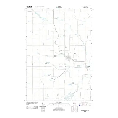
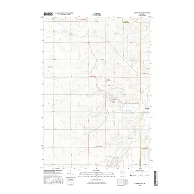
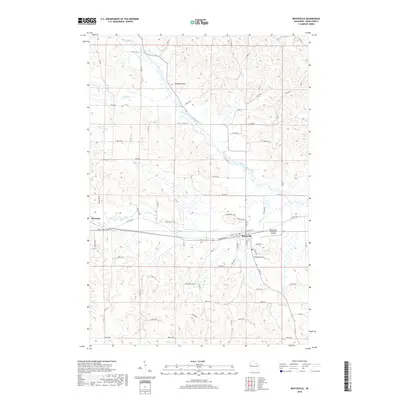
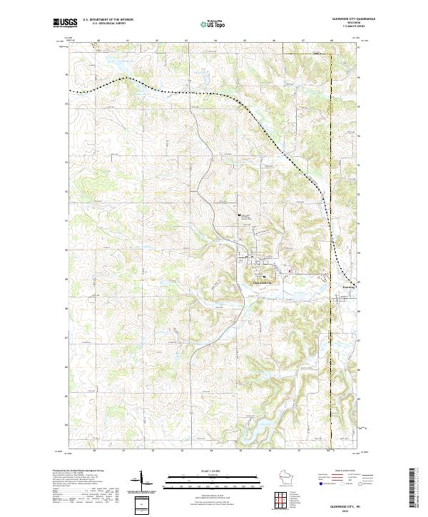 2022 Glenwood City2022 Print · USGSThe borderlands of St. Croix and Dunn counties come into focus here during the early twenty-first century, centered on the historic hub of Glenwood City. Researchers can trace local lineage at Saint John the Baptist Catholic Cem or follow the waters of Tiffany Cr toward the village of Downing.
End of results
Showing maps 1-20 of 20
Top cities near Stanton
- Menomonie historical maps
- Tainter historical maps
- Town of Tainter historical maps
- Red Cedar historical maps
- Woodville historical maps
- Glenwood City historical maps
See more
Frequently asked questions
- What are the different types of historical maps available for Stanton?
- What is the oldest map of Stanton?
- Where can I purchase historical maps of Stanton for my home or office?
- Where can I download high-res historical maps of Stanton?
- Are there historical topographic maps available for Stanton?
- Is there historical aerial imagery available for Stanton?
- Where are historical maps of Stanton sourced from?