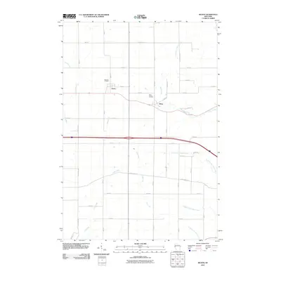
2010 Map of Wilson
USGS Topo · Published 2010About this map
Wilson and Hersey serve as the primary focal points of this western Wisconsin landscape, situated along a transportation corridor that bisects the rolling agricultural terrain. The map reveals a dense network of watercourses, including Cady Creek and Wilson Creek, which define the drainage patterns of the region. Local history is anchored at Oakwood Cemetery near Hersey and Saint Bridget Cemetery just west of Wilson, providing significant touchstones for genealogical research. The southern portion of the quadrangle is dominated by the complex tributaries of North Branch Gilbert Creek, Middle Branch Gilbert Creek, and South Branch Gilbert Creek. The road network, characterized by numerical designations like 90th Ave and 70th Ave, reflects the organized township-and-range surveying that shaped the development of St. Croix County's rural communities during the late twentieth and early twenty-first centuries.
Find a feature on this map
31 named features on this map. Tap any name to fly to it.
Don’t see what you’re looking for? This feature index may not catch every label — zoom into the map to look around manually.
Map Details
Editions of this 2010 Wilson Map
This is the sole edition of this map. No revisions or reprints were ever made.
Other maps of this area

1946 · Knapp
USGS Topo · 1:62,500

1948 · Downing
USGS Topo · 1:62,500

1949 · Knapp
USGS Topo · 1:62,500

1949 · Baldwin
USGS Topo · 1:62,500

1950 · Downing
USGS Topo · 1:62,500

1950 · Deer Park
USGS Topo · 1:62,500

1953 · Saint Paul
USGS Topo · 1:250,000

1953 · Stillwater
USGS Topo · 1:250,000

1955 · Stillwater
USGS Topo · 1:250,000

1958 · Stillwater
USGS Topo · 1:250,000