Old Maps of Wilson, Wisconsin for Hiking & Exploration
Hike through history with 19 historic maps of Wilson. Explore old trails, ghost towns, and forgotten backroads — perfect for outdoor adventurers and local explorers.
- Rediscover forgotten places: Map out old mining camps, roads, and footpaths that no longer exist on modern maps.
- Layer with modern tools: Combine with LiDAR or satellite views to plan hikes through historical terrain.
- Made for exploration: Popular among hikers, overlanders, and local history lovers.
Use these maps to find adventure and explore the hidden past of Wilson.
Wilson, WI maps
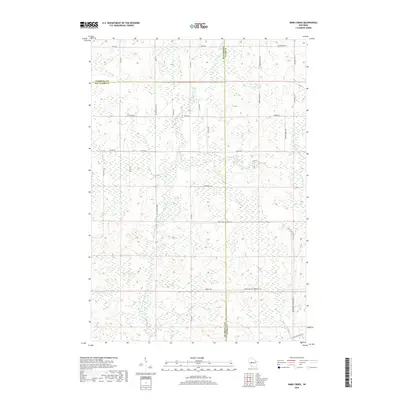
(19)- 1952 Map of Cadott, 1954 Print
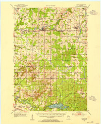 1952 Cadott1954 Print · USGSChippewa and Eau Claire counties were defined by a thriving network of small school districts and railroad towns in the early fifties. Genealogists can trace family roots through numerous sites like St Rose Cem, Bethlehem Ch, and Baker Sch.2 unique versions available
 - 1952 Map of Stanley, 1954 Print
 1952 Stanley1954 Print · USGSStanley and Thorp anchor this central Wisconsin landscape in the early fifties as the rural schoolhouse system reaches its peak. Genealogists can locate family names at the Evergreen Cem or trace rural education at Busy Bee Sch and Sol Mohr Sch.
 - 1953 Map of Eau Claire, 1965 Print
 1953 Eau Claire1965 Print · USGSWest-central Wisconsin in the mid-fifties shows a landscape of river-valley industry and vast wildlife refuges during the transition from rails to modern highways. Genealogists and historians can trace the rail corridors of the Chicago and North Western or locate family-named landmarks like Decorah Mound and Chippewa Island.4 unique versions available
 - 1958 Map of Eau Claire
 1958 Eau Claire1958 Print · USGSWestern Wisconsin in the late fifties shows a landscape of growing regional hubs and massive wildlife refuges. Trace the rail lines of the Chicago and North Western between Eau Claire and Marshfield, or explore the terrain around Iron Mound and Lake Wissota.
 - 1964 Map of Eau Claire
 1964 Eau Claire1964 Print · USGSWest-central Wisconsin in the mid-1960s was a hub of river-driven industry and expanding rail networks. Researchers can trace historic homesteads near Menomonie, follow the Soo Line RR through Marshfield, or explore the grounds of the Camp McCoy Military Reservation.
 - 1979 Map of Lake Eau Claire East, 1980 Print
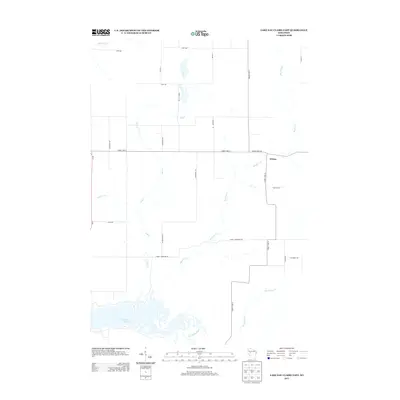
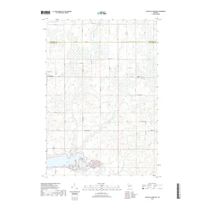
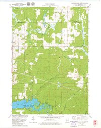 1979 Lake Eau Claire East1980 Print · USGSThe area east of Lake Eau Claire in the late seventies is a landscape of winding creeks and quiet settlements. Researchers can trace family history at Ludington Cem or locate rural landmarks like Wilson Chapel and Hamilton Falls.
 - 1979 Map of Simes Creek, 1980 Print
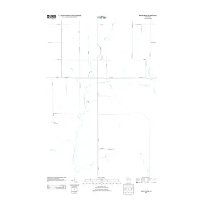
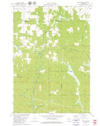 1979 Simes Creek1980 Print · USGSThe borderlands of Eau Claire, Chippewa, and Clark counties are mapped here in the late seventies. Researchers can locate specific rural landmarks such as Hamilton Falls, the Wilson Lookout Tower, and the Pleasant Valley Ch.
 - 1984 Map of Marshfield, 1985 Print
 1984 Marshfield1985 Print · USGSCentral Wisconsin's dairy heartland comes into focus during the mid-eighties as a busy network of rail and farm towns. Researchers can trace the path of the Soo Line, identify the grounds of McMillan State Wildlife Area, and locate smaller settlements like Spokeville and Tioga.2 unique versions available
 - 1985 Map of Eau Claire
 1985 Eau Claire1985 Print · USGSWestern Wisconsin's river valleys and growing mid-century cities are captured here in the mid-eighties. Genealogists and historians can trace the paths of the Chicago and North Western railroad and locate rural landmarks like Dells Millpond and Nine Mile Island.2 unique versions available
 - 2010 Map of Simes Creek, 2010 Print
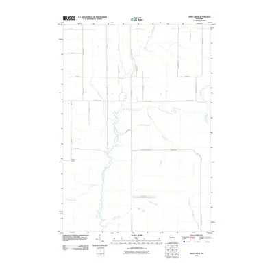 2010 Simes Creek2010 Print · USGSCovers Wilson, including Edson, Worden, and other nearby areas
 - 2010 Map of Lake Eau Claire East, 2010 Print
 2010 Lake Eau Claire East2010 Print · USGSCovers Wilson, including Edson, Sigel, and other nearby areas
 - 2013 Map of Lake Eau Claire East, 2013 Print
 2013 Lake Eau Claire East2013 Print · USGSCovers Wilson, including Edson, Sigel, and other nearby areas
 - 2013 Map of Simes Creek, 2013 Print
 2013 Simes Creek2013 Print · USGSCovers Wilson, including Edson, Worden, and other nearby areas
 - 2015 Map of Simes Creek, 2015 Print
 2015 Simes Creek2015 Print · USGSCovers Wilson, including Edson, Worden, and other nearby areas
 - 2015 Map of Lake Eau Claire East, 2015 Print
 2015 Lake Eau Claire East2015 Print · USGSCovers Wilson, including Edson, Sigel, and other nearby areas
 - 2018 Map of Simes Creek, 2018 Print
 2018 Simes Creek2018 Print · USGSCovers Wilson, including Edson, Worden, and other nearby areas
 - 2018 Map of Lake Eau Claire East, 2018 Print
 2018 Lake Eau Claire East2018 Print · USGSCovers Wilson, including Edson, Sigel, and other nearby areas
 - 2022 Map of Simes Creek, 2022 Print
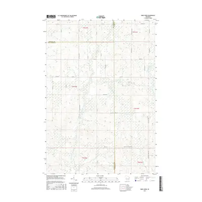
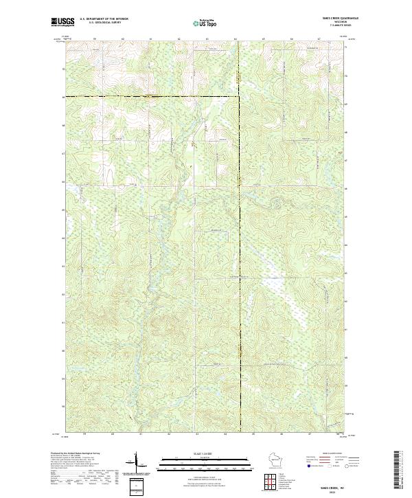 2022 Simes Creek2022 Print · USGSWisconsin's river-fed wetlands and forest lands are mapped here in the modern era where three counties meet. Genealogists and outdoorsmen can trace the routes around Hamilton Falls, the depths of Blue Swamp, and the banks of Simes Creek.
 - 2022 Map of Lake Eau Claire East, 2022 Print
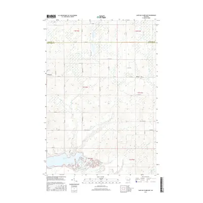
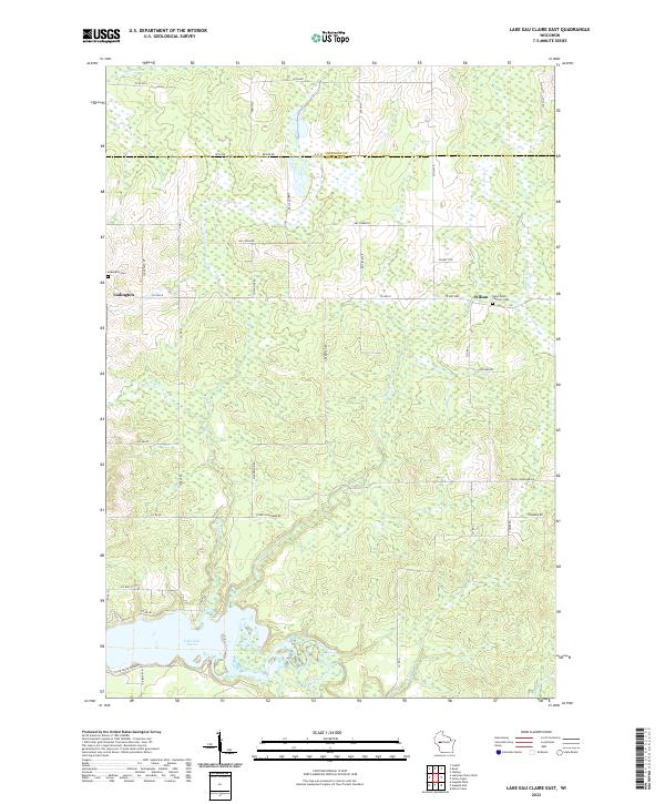 2022 Lake Eau Claire East2022 Print · USGSThe rural border of Eau Claire and Chippewa counties comes into focus in this recent survey. Researchers can trace the banks of Lake Eau Claire and locate family history at Saint Peters Catholic Cemetery or Ludington Cemetery.
End of results
Showing maps 1-19 of 19
Top cities near Wilson
- Stanley historical maps
- Eagle Point historical maps
- Seymour historical maps
- Anson historical maps
- Osseo historical maps
- Thorp historical maps
See more
Frequently asked questions
- What are the different types of historical maps available for Wilson?
- What is the oldest map of Wilson?
- Where can I purchase historical maps of Wilson for my home or office?
- Where can I download high-res historical maps of Wilson?
- Are there historical topographic maps available for Wilson?
- Is there historical aerial imagery available for Wilson?
- Where are historical maps of Wilson sourced from?