Old Maps of Banner, Forest for Metal Detecting
Plan your next treasure hunt with 11 historic maps of Banner. Find old homesites, ghost towns, trails, and gathering spots that may be lost to time — perfect for identifying promising metal detecting locations.
- Locate forgotten sites: Uncover places like long-lost settlements, abandoned rail lines, or gathering spots.
- Plan better hunts: Use map overlays combined with LiDAR or satellite views to narrow in on historically rich areas.
- Made for detectorists: Thousands of hobbyists use these maps to discover relics, coins, and hidden history.
Use these historic maps to boost your research and find new opportunities beneath the surface of Banner.
Banner, Forest maps
(11)- 1954 Map of Kiel, 1956 Print
 1954 Kiel1956 Print · USGSWisconsin's glacial landscape meets mid-century development in this survey of the four-county border region. Genealogists can trace family roots through numerous country churches like Holy Rosary Ch and schools including the Elder Grove Sch.2 unique versions available
 - 1957 Map of Madison, 1967 Print
 1957 Madison1967 Print · USGSSouth-central Wisconsin in the mid-fifties reveals a landscape of industrial hubs and glacial lakes linked by a dense rail and highway network. Genealogists and historians can trace the development of lakeside communities and find notable sites like Badger Ordnance Works and the Horicon National Wildlife Refuge.3 unique versions available
 - 1960 Map of Madison
 1960 Madison1960 Print · USGSCentral and Southern Wisconsin are captured in the late fifties, showing the region as its rail-and-river network matured. Trace the paths of the Soo Line RR or locate family roots near Lake Mendota and Horicon National Wildlife Refuge.2 unique versions available
 - 1974 Map of St. Cloud, 1977 Print
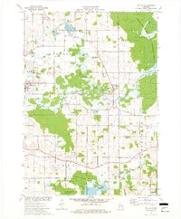 1974 St. Cloud1977 Print · USGSFond du Lac and Sheboygan counties are captured in the mid-seventies, showing a landscape defined by conservation and glacial water. Genealogists can locate family landmarks like Forest Home Cem, St Joseph Ch, and the historic St Lawrence Seminary.
 - 1980 Map of Fond Du Lac
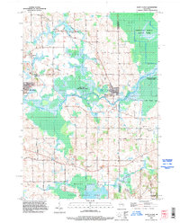
 1980 Fond Du Lac1980 Print · USGSThe Fox River Valley and Horicon Marsh meet here during the late twentieth century, showing a transition from lakeside industry to glacial conservation. Genealogists can locate family sites at Estabrook Cem or trace the rail lines through Ripon and Waupun.
 - 1992 Map of Saint Cloud, 1996 Print
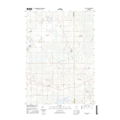
 1992 Saint Cloud1996 Print · USGSFond du Lac and Sheboygan Counties are shown during the early nineties, a landscape where glacial marshes meet established rural townships. Researchers can trace family history through Forest Home Cemetery or explore vanished transport lines along the Old Railroad Grade near St Cloud.
 - 2010 Map of Saint Cloud, 2010 Print
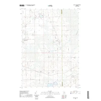
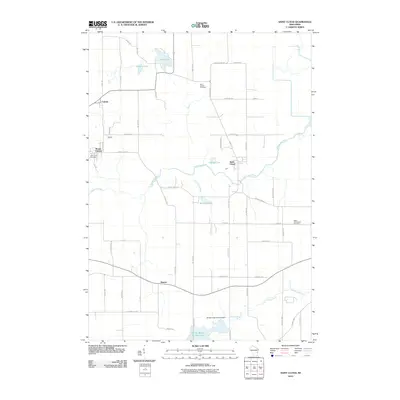 2010 Saint Cloud2010 Print · USGSCovers Banner, including Greenbush, Mount Calvary, and other nearby areas
 - 2013 Map of Saint Cloud, 2013 Print
 2013 Saint Cloud2013 Print · USGSCovers Banner, including Greenbush, Mount Calvary, and other nearby areas
 - 2015 Map of Saint Cloud, 2015 Print
 2015 Saint Cloud2015 Print · USGSCovers Banner, including Greenbush, Mount Calvary, and other nearby areas
 - 2018 Map of Saint Cloud, 2018 Print
 2018 Saint Cloud2018 Print · USGSCovers Banner, including Greenbush, Mount Calvary, and other nearby areas
 - 2022 Map of Saint Cloud, 2022 Print
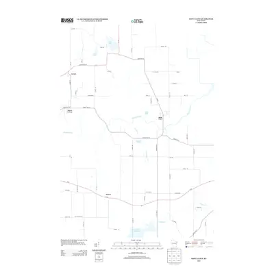
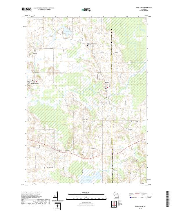 2022 Saint Cloud2022 Print · USGSThe villages of eastern Wisconsin are captured here in the early 2020s, showcasing the river-linked communities of St. Cloud and Mount Calvary. Researchers can locate several family burial sites like Holy Cross Cem and Forest Home Cem near the Mullet River.
End of results
Showing maps 1-11 of 11
Top cities near Banner
- Fond du Lac historical maps
- Plymouth historical maps
- Taycheedah historical maps
- New Holstein historical maps
- Kiel historical maps
- Greenbush historical maps
See more
Frequently asked questions
- What are the different types of historical maps available for Banner?
- What is the oldest map of Banner?
- Where can I purchase historical maps of Banner for my home or office?
- Where can I download high-res historical maps of Banner?
- Are there historical topographic maps available for Banner?
- Is there historical aerial imagery available for Banner?
- Where are historical maps of Banner sourced from?