Old Maps of Patch Grove, Wisconsin for Academic Research
Study the evolution of Patch Grove with 22 high-resolution historic maps. Whether you're teaching, researching, or modeling changes in land use, these maps provide essential visual documentation of urban, environmental, and geographic change.
- Analyze long-term change: Track patterns in development, transportation, and natural features.
- Ideal for environmental or urban studies: Support academic projects with primary historical map data.
- Use in the classroom or lab: Educators and researchers rely on these maps to bring historical context to life.
These maps are a powerful tool for teaching, research, and visualizing how Patch Grove has changed over the decades.
Patch Grove, WI maps
(22)- 1900 Map of Lancaster
 1900 Lancaster1900 Print · USGSGrant County and the Mississippi River bluffs are captured at the close of the nineteenth century, showing a landscape of river towns and ridge-top farms. Researchers can trace the early rail corridors and vanished river landings from Cassville and Potosi to the county seat at Lancaster.
 - 1902 Map of Elkader
 1902 Elkader1902 Print · USGSNortheast Iowa at the turn of the century is defined by the deep river valleys of the Mississippi, Turkey, and Volga. Genealogists and historians can trace rail lines and early settlements like Elkader, Guttenberg, and Elkport as they appeared in 1898.4 unique versions available
 - 1904 Map of Lancaster, 1953 Print
 1904 Lancaster1953 Print · USGSSouthwest Wisconsin and its neighboring river lands are shown at the turn of the century as railroads began to dominate the ridge tops. Researchers can trace the development of the river-and-rail economy through sites like Spechts Ferry, Sinsinawa Mound, and Lancaster.
 - 1908 Map of Lancaster
 1908 Lancaster1908 Print · USGSGrant County and the Mississippi River border appear in the first decade of the twentieth century, when river crossings and new rail lines defined local commerce. Researchers can trace the landings at Spechts Ferry and Mc Cartney or locate early settlements like British Hollow and Beetown.5 unique versions available
 - 1959 Map of Dubuque, 1982 Print
 1959 Dubuque1982 Print · USGSThe Tri-State region comes alive in the mid-twentieth century as a hub of river commerce and rail transit. Genealogists and historians can trace the paths of the Illinois Central Gulf through Dubuque or locate the Savanna Ordnance Depot and Lock and Dam No 11.
 - 1961 Map of Dubuque
 1961 Dubuque1961 Print · USGSThe Tri-State region's river-and-rail landscape is captured here during the early sixties, showing the convergence of Iowa, Illinois, and Wisconsin. Trace mid-century rail lines like the Chicago Great Western Ry and explore sites like the Savanna Ordnance Depot and Backbone State Park.
 - 1962 Map of Dubuque
 1962 Dubuque1962 Print · USGSThe Tri-State region's river-and-rail economy is captured here in the early sixties, centered on the Mississippi River bluffs. Genealogists and historians can locate Numerous lead and zinc mines, the New Melleray Abbey Monastery, and rural hubs like Saint Olaf.2 unique versions available
 - 1962 Map of Bloomington, 1964 Print
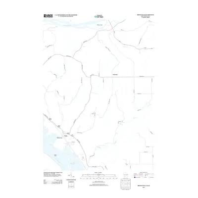
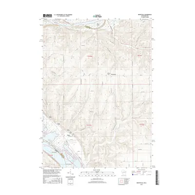
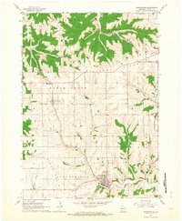 1962 Bloomington1964 Print · USGSGrant County in the early sixties remains a landscape of high ridges and winding creek valleys. Genealogists and local researchers can trace the locations of family plots at Hermitage Cem or Patch Grove Cem and follow the old routes along Military Ridge.2 unique versions available
 - 1962 Map of Bagley, 1964 Print
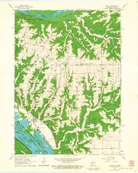 1962 Bagley1964 Print · USGSThe confluence of the Wisconsin and Mississippi Rivers comes to life in the early sixties, showing the vital rail-and-river hub of Grant County. Genealogists can trace the rural landscape near Bagley, Brodtville, and family sites like Lumpkin Cem.
 - 1976 Map of Dubuque
 1976 Dubuque1976 Print · USGSThe tri-state borderlands of Iowa, Wisconsin, and Illinois come alive during the mid-seventies, showing a region built on river commerce and mining. Genealogists and historians can trace the paths of the Illinois Central railroad or locate heritage sites like the New Melleray Abbey Monastery and Backbone State Park.
 - 1984 Map of Oelwein, 1985 Print
 1984 Oelwein1985 Print · USGSNortheast Iowa and the Mississippi riverfront appear in detail during the 1980s, showing a land defined by deep river valleys and high ridges. Genealogists and historians can trace the Chicago and North Western rail line and locate rural sites like St Sebald Ch and Quaker Mill Pond.2 unique versions available
 - 1984 Map of Dubuque North, 1985 Print
 1984 Dubuque North1985 Print · USGSThis Tri-State region was a hub of Midwestern mining and river commerce in the mid-eighties. Researchers can trace the legacy of the Lead District through specific sites like Annie Mine or locate early civic centers such as First Capitol State Park.2 unique versions available
 - 2010 Map of Brodtville, 2010 Print
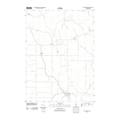
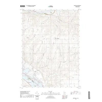
 2010 Brodtville2010 Print · USGSCovers Patch Grove, including Bridgeport, Wyalusing, and other nearby areas
 - 2010 Map of Bloomington, 2010 Print
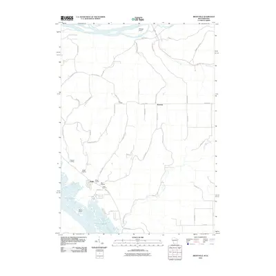
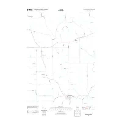
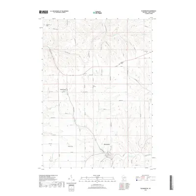
 2010 Bloomington2010 Print · USGSCovers Patch Grove, including Bloomington, Millville, and other nearby areas
 - 2013 Map of Brodtville, 2013 Print
 2013 Brodtville2013 Print · USGSCovers Patch Grove, including Bridgeport, Wyalusing, and other nearby areas
 - 2013 Map of Bloomington, 2013 Print
 2013 Bloomington2013 Print · USGSCovers Patch Grove, including Bloomington, Millville, and other nearby areas
 - 2016 Map of Bloomington, 2016 Print
 2016 Bloomington2016 Print · USGSCovers Patch Grove, including Bloomington, Millville, and other nearby areas
 - 2016 Map of Brodtville, 2016 Print
 2016 Brodtville2016 Print · USGSCovers Patch Grove, including Bridgeport, Wyalusing, and other nearby areas
 - 2018 Map of Brodtville, 2018 Print
 2018 Brodtville2018 Print · USGSCovers Patch Grove, including Bridgeport, Wyalusing, and other nearby areas
 - 2018 Map of Bloomington, 2018 Print
 2018 Bloomington2018 Print · USGSCovers Patch Grove, including Bloomington, Millville, and other nearby areas
 - 2022 Map of Brodtville, 2022 Print
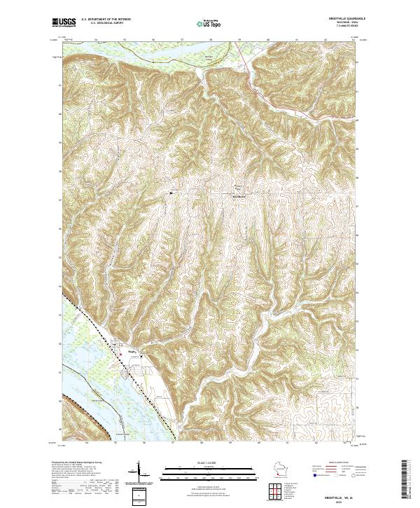 2022 Brodtville2022 Print · USGSGrant County river life and ridge-top farming meet in this modern survey of the Wisconsin-Iowa border. Genealogists and local historians can trace the topography around Bagley and Brodtville, locating family landmarks like Flint Cem and Bagley Cem.
 - 2022 Map of Bloomington, 2022 Print
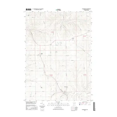
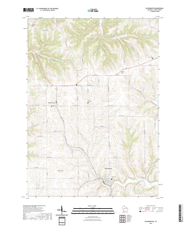 2022 Bloomington2022 Print · USGSSouthwestern Wisconsin’s driftless ridges and fertile prairies are documented here in the early twenty-first century. Genealogists can trace family sites at Hermitage Cem and Saint Johns Cem or explore the historic landscape of Blake Prairie.
End of results
Showing maps 1-22 of 22
Top cities near Patch Grove
- Prairie du Chien historical maps
- Guttenberg historical maps
- Cassville historical maps
- Bridgeport historical maps
- Wauzeka historical maps
- McGregor historical maps
See more
Frequently asked questions
- What are the different types of historical maps available for Patch Grove?
- What is the oldest map of Patch Grove?
- Where can I purchase historical maps of Patch Grove for my home or office?
- Where can I download high-res historical maps of Patch Grove?
- Are there historical topographic maps available for Patch Grove?
- Is there historical aerial imagery available for Patch Grove?
- Where are historical maps of Patch Grove sourced from?