2022 Map of Brodtville
USGS Topo · Published 2022About this map
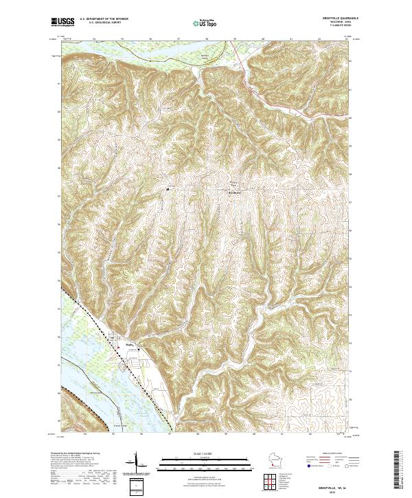
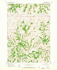
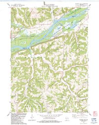
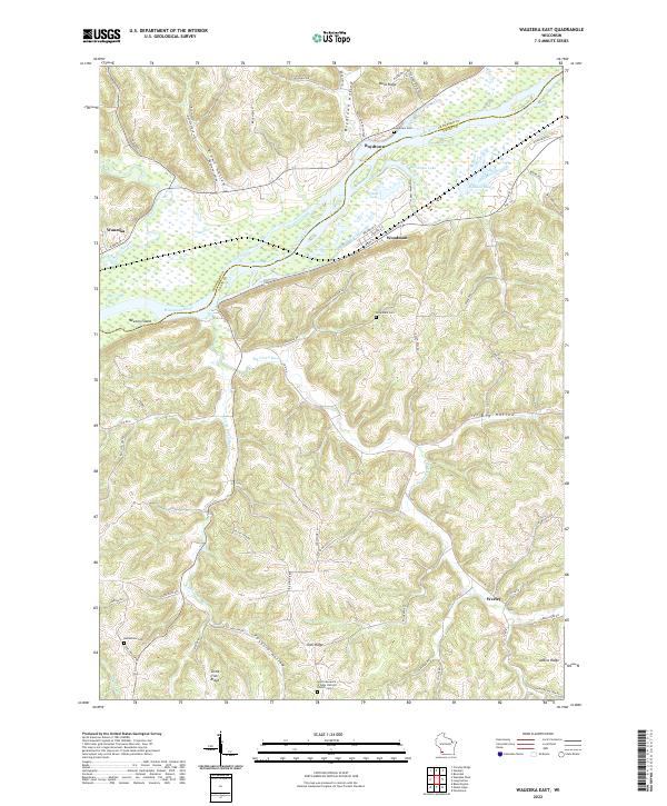
Mississippi River and Wisconsin River waters converge in this corner of Grant County, creating a complex landscape of islands and sloughs at the state line. The village of Bagley sits near the riverbank, served by the Bagley Cem, while the smaller settlement of Brodtville occupies higher ground to the north along Military Ridge. This plateau is deeply dissected by a series of steep drainages including Gasner Hollow, Ready Hollow, and Dry Hollow, illustrating the classic unglaciated topography of the region.
Find a feature on this map
63 named features on this map. Tap any name to fly to it.
Don’t see what you’re looking for? This feature index may not catch every label — zoom into the map to look around manually.
Map Details
Editions of this 2022 Brodtville Map
This is the sole edition of this map. No revisions or reprints were ever made.
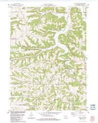
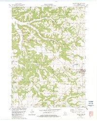
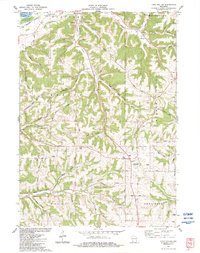
Historical Maps of Patch Grove Through Time
17 maps found
1962 Beetown
Grant County, WI
1962 Ellenboro
Grant County, WI
1962 Hurricane
Grant County, WI
1962 Stitzer
Grant County, WI
1983 Castle Rock
Grant County, WI
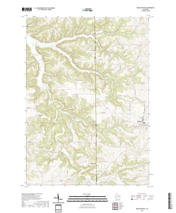
1983 Highland West
Grant County, WI
1983 Long Hollow
Grant County, WI
1983 Wauzeka East
Grant County, WI
2022 Beetown
Grant County, WI
2022 Brodtville
Grant County, WI
2022 Castle Rock
Grant County, WI
2022 Ellenboro
Grant County, WI
2022 Highland West
Grant County, WI
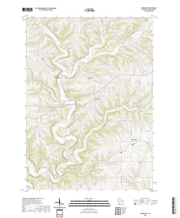
2022 Hurricane
Grant County, WI
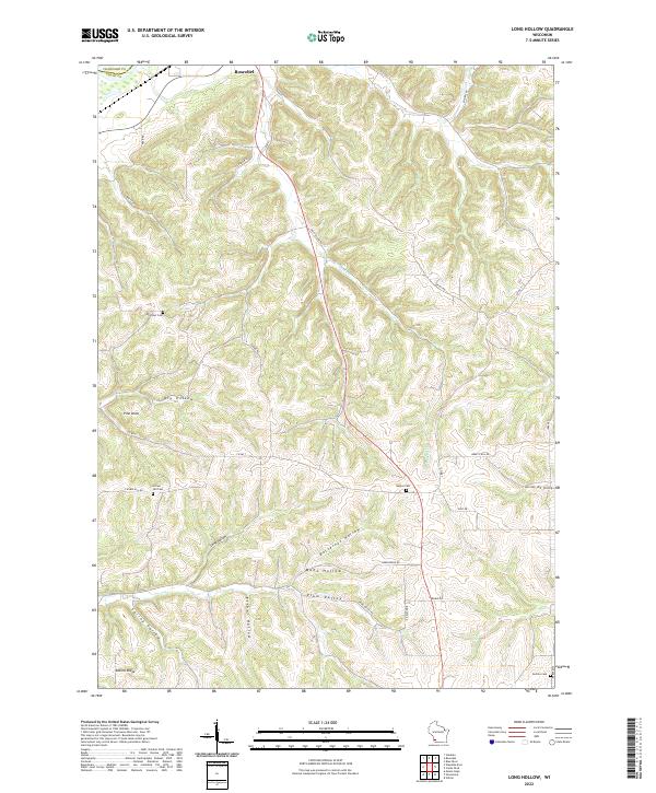
2022 Long Hollow
Grant County, WI
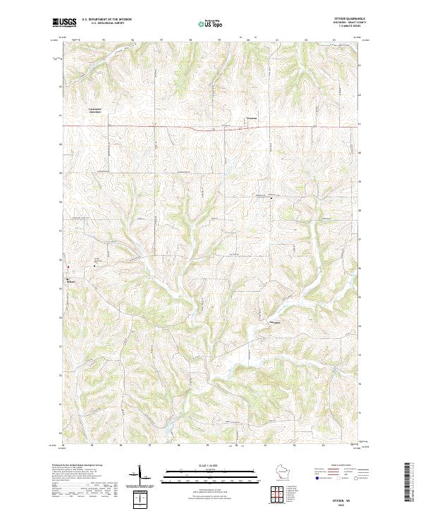
2022 Stitzer
Grant County, WI
2022 Wauzeka East
Grant County, WI