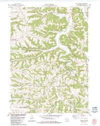
1983 Map of Castle Rock
USGS Topo · Published 1983About this map
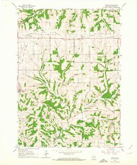
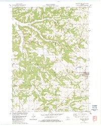
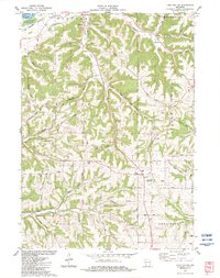
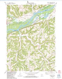
Hickory Grove and the small settlement of Homer sit among the deeply incised valleys of Grant County in the early 1980s. The landscape is defined by the winding course of the Fennimore Fork and the Blue River, where narrow ridges like Bohemian Ridge separate numerous named hollows and valleys. Cultural landmarks including the Castle Rock Ch and the German Cem point to the area's ancestral communities, while the presence of several Quarry sites suggests a reliance on local stone for building and roads. The terrain is marked by distinctive geological features such as Cedar Cliff and Breezy Hill, which overlook the agricultural operations in Gunderson Valley and Coon Valley. This survey captures the rural infrastructure before significant modern expansion, detailing old township boundaries for Watertown, Muscoda, and Fennimore.
Find a feature on this map
46 named features on this map. Tap any name to fly to it.
Don’t see what you’re looking for? This feature index may not catch every label — zoom into the map to look around manually.
Map Details
Editions of this 1983 Castle Rock Map
This is the sole edition of this map. No revisions or reprints were ever made.
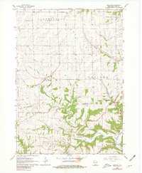
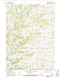
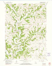
Historical Maps of Hickory Grove Through Time
17 maps found
1962 Beetown
Grant County, WI
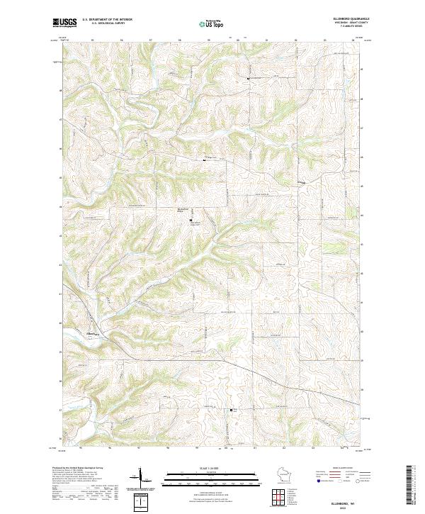
1962 Ellenboro
Grant County, WI
1962 Hurricane
Grant County, WI
1962 Stitzer
Grant County, WI
1983 Castle Rock
Grant County, WI
1983 Highland West
Grant County, WI
1983 Long Hollow
Grant County, WI
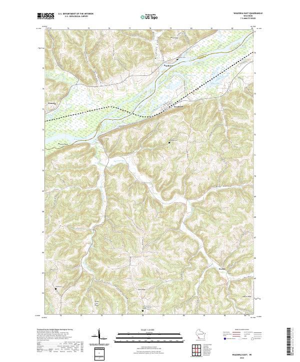
1983 Wauzeka East
Grant County, WI
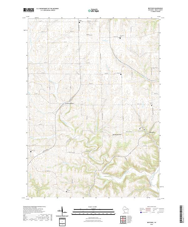
2022 Beetown
Grant County, WI
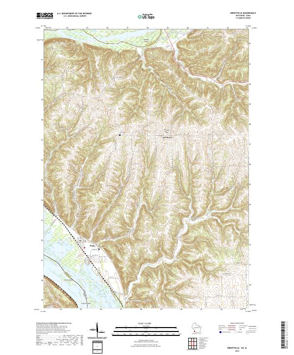
2022 Brodtville
Grant County, WI
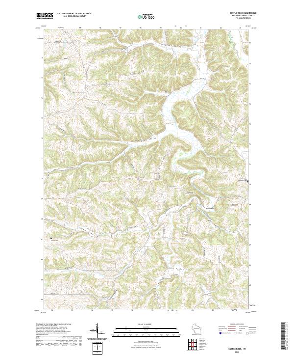
2022 Castle Rock
Grant County, WI
2022 Ellenboro
Grant County, WI
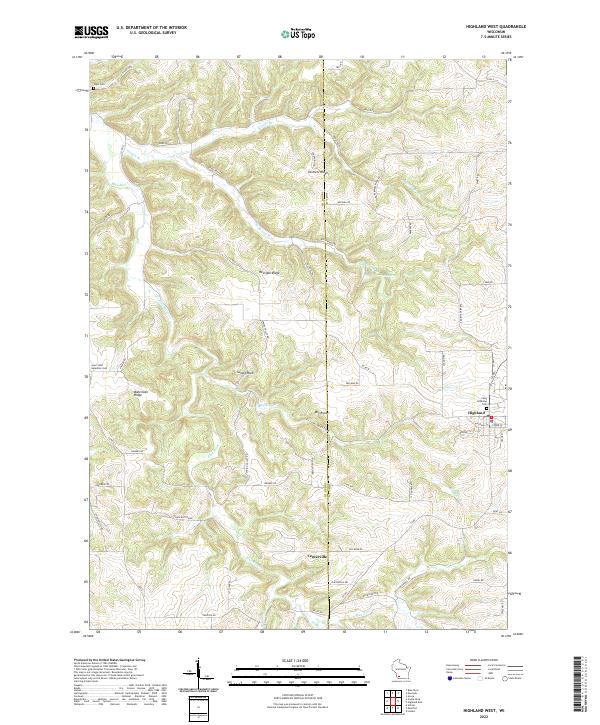
2022 Highland West
Grant County, WI
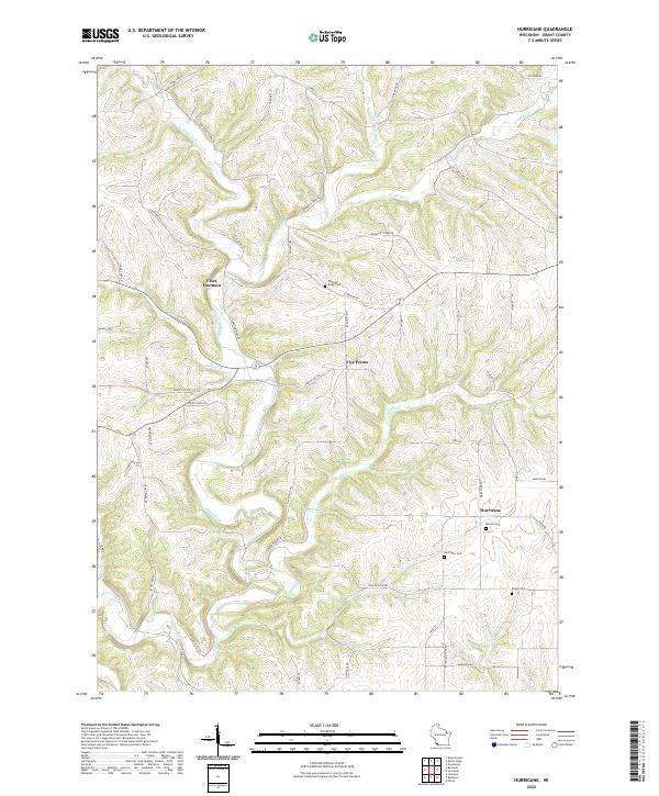
2022 Hurricane
Grant County, WI
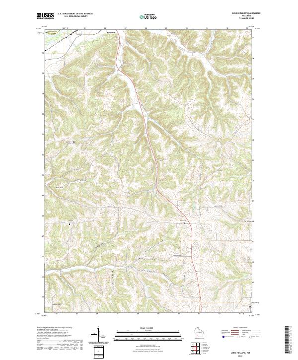
2022 Long Hollow
Grant County, WI
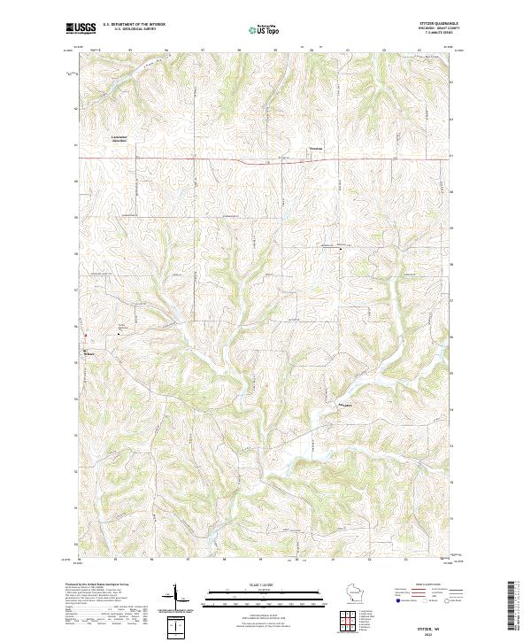
2022 Stitzer
Grant County, WI
2022 Wauzeka East
Grant County, WI