2020s Maps of Mackford, Wisconsin
Explore 2 historic maps of Mackford from the 2020s. These maps offer a rare glimpse into what life looked like during the 2020s — showing old roads, neighborhoods, homes, and landmarks that have changed or disappeared over time.
Whether you're researching your family's past, planning a metal detecting trip, or studying how Mackford's landscape evolved across the 2020s, these high-resolution maps are a powerful tool for exploring the history of this region.
- Focus on a specific era: All maps on this page are from the 2020s, giving you a focused view of this time period.
- See what’s changed: Compare century-old streets, trails, and buildings to today's modern landscape using overlays and satellite layers.
- Research with precision: Use these maps for genealogy, historical research, land use analysis, or educational projects.
- View, download, or print: Maps are fully viewable online in high resolution, and can be downloaded or printed for your own records.
Start exploring Mackford's history through authentic maps from the 2020s. This is your window into the past.
Mackford, WI maps
(2)- 2022 Map of Markesan, 2022 Print
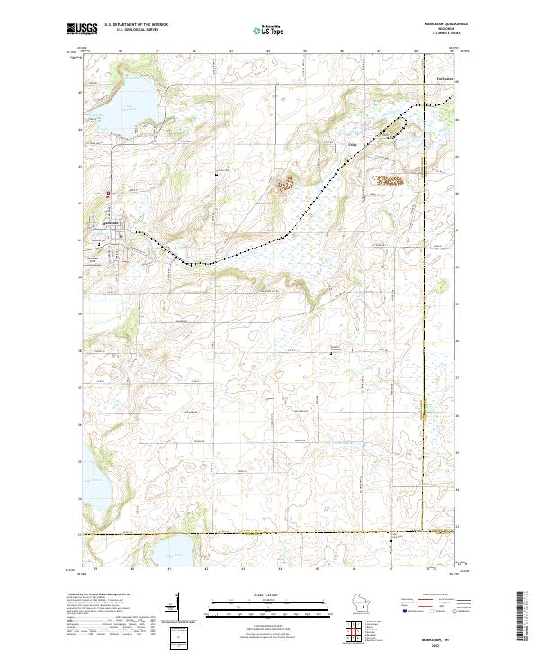 2022 Markesan2022 Print · USGSGreen Lake County at the start of the 2020s shows a landscape of wetlands and quiet rural settlements. Researchers can find burial sites like Tichora Cem and trace the shores of Little Green Lake and Lake Maria.
 - 2022 Map of Manchester, 2022 Print
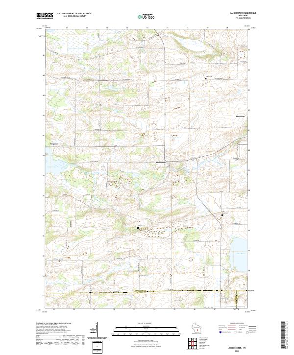 2022 Manchester2022 Print · USGSGreen Lake and Columbia County are mapped here in the early twenty-first century, showing a landscape defined by river valleys and rural settlements. Researchers can trace family history through sites like Phelps Cem and Krastetter Cem near Kingston and Manchester.
End of results
Showing maps 1-2 of 2
Top cities near Mackford
- Beaver Dam historical maps
- Ripon historical maps
- Waupun historical maps
- Fox Lake historical maps
- Princeton historical maps
- Markesan historical maps
See more
Frequently asked questions
- What are the different types of historical maps available for Mackford?
- What is the oldest map of Mackford?
- Where can I purchase historical maps of Mackford for my home or office?
- Where can I download high-res historical maps of Mackford?
- Are there historical topographic maps available for Mackford?
- Is there historical aerial imagery available for Mackford?
- Where are historical maps of Mackford sourced from?