2022 Map of Manchester
USGS Topo · Published 2022About this map
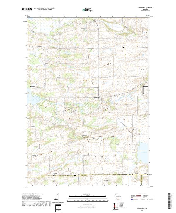
The Grand River and Fox River systems define the geography of this Green Lake and Columbia County borderland. Several rural settlements anchor the landscape, including Kingston, Manchester, and the edge of Markesan. The map reveals a high density of local cemeteries, such as Phelps Cem, Williams Cem, Lake Maria Cem, and Krastetter Cem, which serve as vital markers for genealogists and local historians tracing families in this agricultural region. Large wetlands and bodies of water like Lake Maria, Heart Lake, and Dog Lake separate the established town sites and farmsteads. The infrastructure of the area is tied to its county trunk highway system, with major routes like Co Trunk Hwy B and Co Trunk Hwy H connecting the dispersed rural community through the undulating glacial terrain.
Find a feature on this map
63 named features on this map. Tap any name to fly to it.
Don’t see what you’re looking for? This feature index may not catch every label — zoom into the map to look around manually.
Map Details
Editions of this 2022 Manchester Map
This is the sole edition of this map. No revisions or reprints were ever made.
Historical Maps of Mackford Through Time
8 maps found
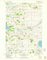
1980 Manchester
Green Lake County, WI
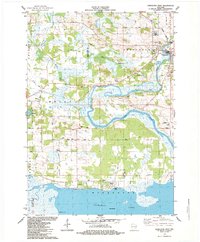
1984 Fairburn
Green Lake County, WI
1984 Princeton East
Green Lake County, WI
1984 Princeton West
Green Lake County, WI
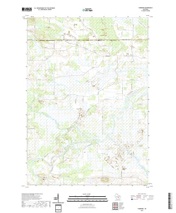
2022 Fairburn
Green Lake County, WI
2022 Manchester
Green Lake County, WI
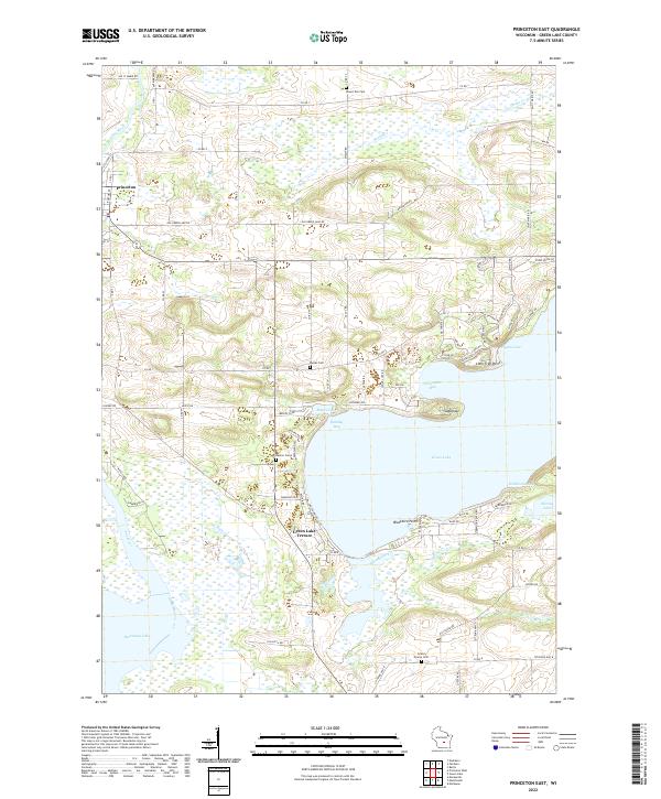
2022 Princeton East
Green Lake County, WI
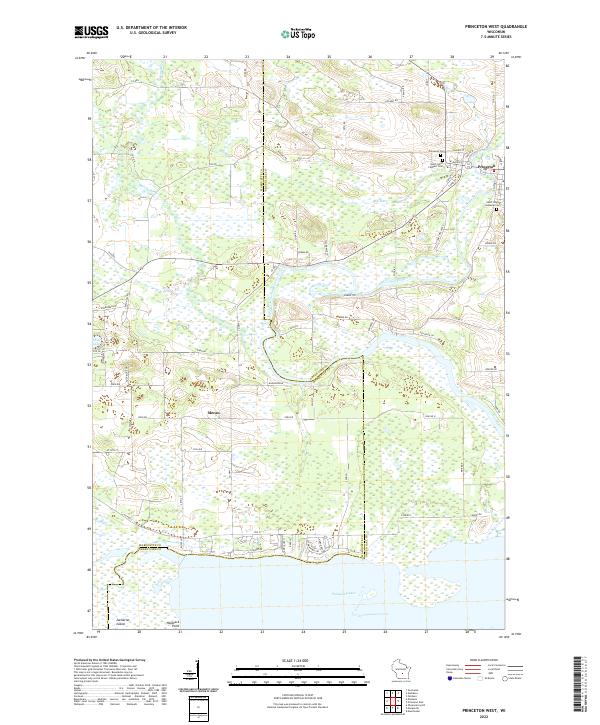
2022 Princeton West
Green Lake County, WI