Old Maps of St. Marie, Wisconsin for Genealogy
Trace your family roots with 31 historic maps of St. Marie. These high-res maps reveal old neighborhoods, homesites, landmarks, and streets — helping you uncover where your ancestors lived and how the area evolved over time.
- Explore historic neighborhoods: Identify where your relatives may have lived in the 1800s or 1900s.
- Compare maps over time: Trace the changes in streets, buildings, and landmarks for multi-generational research.
- Perfect for genealogy & ancestry research: Used by family historians and researchers to map out lineage and migration.
These maps are an incredible resource for exploring your personal connection to St. Marie's past.
St. Marie, WI maps
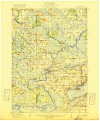
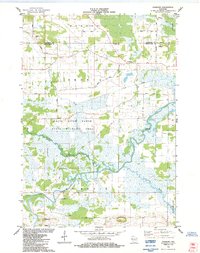
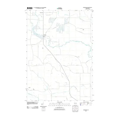
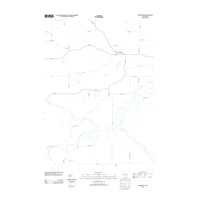
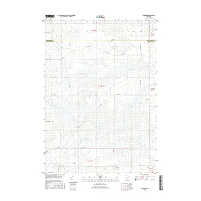
(31)- 1915 Map of Neshkoro
 1915 Neshkoro1915 Print · USGSCentral Wisconsin at the height of the river-and-rail era shows a network of locks and rural schoolhouses. Trace the early layouts of Princeton and Neshkoro, or locate landmarks like White River Lock and Puckaway Lake.
 - 1918 Map of Neshkoro
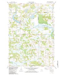
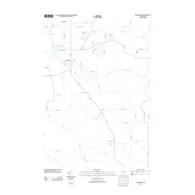
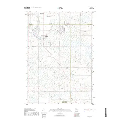
 1918 Neshkoro1918 Print · USGSThe Fox River valley and its complex lock system are recorded here during a period of active river and rail commerce. Genealogists can locate numerous rural schoolhouses and vanished rail stops near Princeton, Neshkoro, and the White River Lock.3 unique versions available
 - 1957 Map of Madison, 1967 Print
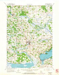
 1957 Madison1967 Print · USGSSouth-central Wisconsin in the mid-fifties reveals a landscape of industrial hubs and glacial lakes linked by a dense rail and highway network. Genealogists and historians can trace the development of lakeside communities and find notable sites like Badger Ordnance Works and the Horicon National Wildlife Refuge.3 unique versions available
 - 1960 Map of Madison
 1960 Madison1960 Print · USGSCentral and Southern Wisconsin are captured in the late fifties, showing the region as its rail-and-river network matured. Trace the paths of the Soo Line RR or locate family roots near Lake Mendota and Horicon National Wildlife Refuge.2 unique versions available
 - 1963 Map of Neshkoro, 1964 Print
 1963 Neshkoro1964 Print · USGSCentral Wisconsin's river valleys and lakefronts are shown here in the early sixties, as the rail and water networks still shaped local life. Genealogists and historians can locate rural landmarks like St Johns Cem, the Rabbitt Sch, and the Bed-ah-Wick Landing Field.2 unique versions available
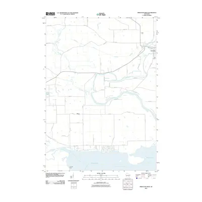
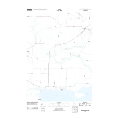
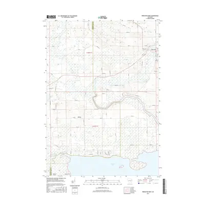
 - 1984 Map of Princeton West
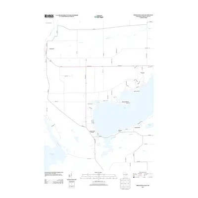
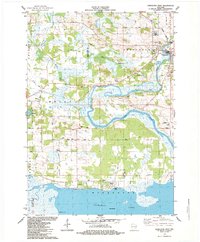 1984 Princeton West1984 Print · USGSThe Green Lake and Marquette county line comes alive in the mid-1980s as it traces the Fox River down to the shores of Puckaway Lake. Genealogists can locate family landmarks like St Johns Cem, Immanuel Ch, and the old Chicago and North Western Railroad Grade.
 - 1984 Map of Princeton East
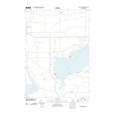
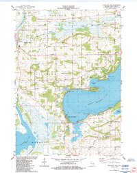 1984 Princeton East1984 Print · USGSGreen Lake and the Fox River valley are shown here in the 1980s, capturing a landscape of deep waters, wetlands, and small settlements. Researchers can trace the Old Railroad Grade, locate the Terrace Shores Ch, and find family sites at Mt Tom Cem or Dayton Cem.
 - 1984 Map of Fairburn
 1984 Fairburn1984 Print · USGSCentral Wisconsin wetlands define this mid-1980s landscape at the confluence of the Fox River and White River. Genealogists and historians can locate the Fairburn Cem, the settlement of Fairburn, and the heights of Mt Tom.
 - 1984 Map of Neshkoro
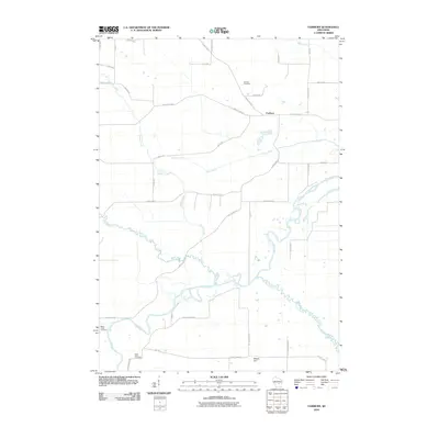
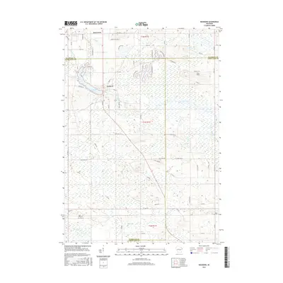
 1984 Neshkoro1984 Print · USGSThe confluence of the White River and Mecan River in the mid-1980s reveals a landscape of working mills and protected wetlands. Trace local family history through sites like Bannerman, St Peter Cem, and the village of Neshkoro.
 - 1985 Map of Wisconsin Dells
 1985 Wisconsin Dells1985 Print · USGSCentral Wisconsin in the mid-eighties was a landscape of intricate river bends, rail junctions, and sprawling marshlands. Researchers can trace historic routes along the Soo Line or locate family landmarks near Lyndon Station, Buffalo Lake, and Puckaway Lake.
 - 1990 Map of Wisconsin Dells, 1991 Print
 1990 Wisconsin Dells1991 Print · USGSCentral Wisconsin's river valleys and lake country are captured in detail here during the late twentieth century. Researchers can trace the rail-and-water geography connecting Wisconsin Dells and Portage with landmarks like Blackhawk Island and Buffalo Lake.
 - 2010 Map of Princeton West, 2010 Print
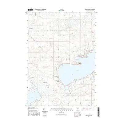
 2010 Princeton West2010 Print · USGSCovers St. Marie, including Princeton, Marquette, and other nearby areas
 - 2010 Map of Neshkoro, 2010 Print
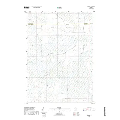
 2010 Neshkoro2010 Print · USGSCovers St. Marie, including Neshkoro, Seneca, and other nearby areas
 - 2010 Map of Fairburn, 2010 Print
 2010 Fairburn2010 Print · USGSCovers St. Marie, including Seneca, Brooklyn, and other nearby areas
 - 2010 Map of Princeton East, 2010 Print
 2010 Princeton East2010 Print · USGSCovers St. Marie, including Princeton, Marquette, and other nearby areas
 - 2013 Map of Princeton East, 2013 Print
 2013 Princeton East2013 Print · USGSCovers St. Marie, including Princeton, Marquette, and other nearby areas
 - 2013 Map of Neshkoro, 2013 Print
 2013 Neshkoro2013 Print · USGSCovers St. Marie, including Neshkoro, Seneca, and other nearby areas
 - 2013 Map of Fairburn, 2013 Print
 2013 Fairburn2013 Print · USGSCovers St. Marie, including Seneca, Brooklyn, and other nearby areas
 - 2013 Map of Princeton West, 2013 Print
 2013 Princeton West2013 Print · USGSCovers St. Marie, including Princeton, Marquette, and other nearby areas
 - 2016 Map of Princeton West, 2016 Print
 2016 Princeton West2016 Print · USGSCovers St. Marie, including Princeton, Marquette, and other nearby areas
 - 2016 Map of Princeton East, 2016 Print
 2016 Princeton East2016 Print · USGSCovers St. Marie, including Princeton, Marquette, and other nearby areas
 - 2016 Map of Fairburn, 2016 Print
 2016 Fairburn2016 Print · USGSCovers St. Marie, including Seneca, Brooklyn, and other nearby areas
 - 2016 Map of Neshkoro, 2016 Print
 2016 Neshkoro2016 Print · USGSCovers St. Marie, including Neshkoro, Seneca, and other nearby areas
 - 2018 Map of Fairburn, 2018 Print
 2018 Fairburn2018 Print · USGSCovers St. Marie, including Seneca, Brooklyn, and other nearby areas
 - 2018 Map of Neshkoro, 2018 Print
 2018 Neshkoro2018 Print · USGSCovers St. Marie, including Neshkoro, Seneca, and other nearby areas
Showing maps 1-25 of 31
Top cities near St. Marie
- Ripon historical maps
- City of Berlin historical maps
- Berlin historical maps
- Wautoma historical maps
- Redgranite historical maps
- Montello historical maps
See more
Frequently asked questions
- What are the different types of historical maps available for St. Marie?
- What is the oldest map of St. Marie?
- Where can I purchase historical maps of St. Marie for my home or office?
- Where can I download high-res historical maps of St. Marie?
- Are there historical topographic maps available for St. Marie?
- Is there historical aerial imagery available for St. Marie?
- Where are historical maps of St. Marie sourced from?