2010s Maps of Arena, Wisconsin
Explore 24 historic maps of Arena from the 2010s. These maps offer a rare glimpse into what life looked like during the 2010s — showing old roads, neighborhoods, homes, and landmarks that have changed or disappeared over time.
Whether you're researching your family's past, planning a metal detecting trip, or studying how Arena's landscape evolved across the 2010s, these high-resolution maps are a powerful tool for exploring the history of this region.
- Focus on a specific era: All maps on this page are from the 2010s, giving you a focused view of this time period.
- See what’s changed: Compare century-old streets, trails, and buildings to today's modern landscape using overlays and satellite layers.
- Research with precision: Use these maps for genealogy, historical research, land use analysis, or educational projects.
- View, download, or print: Maps are fully viewable online in high resolution, and can be downloaded or printed for your own records.
Start exploring Arena's history through authentic maps from the 2010s. This is your window into the past.
Arena, WI maps
(24)- 2010 Map of Spring Green, 2010 Print
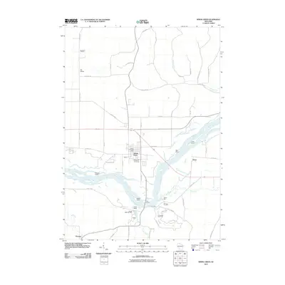 2010 Spring Green2010 Print · USGSThe Wisconsin River valley comes into focus in this late-aughts survey of the Spring Green area. Genealogists and local historians can trace family sites from Big Hollow to Helena, locating the Old Helena Cemetery and landmarks like Pecks Landing.
 - 2010 Map of Arena, 2010 Print
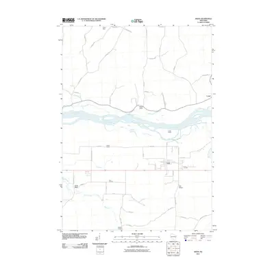 2010 Arena2010 Print · USGSIowa County’s riverfront landscape is documented here during the first decade of the millennium as the village of Arena centers a network of valley farms. Genealogists and local historians can trace family ties at the Arena Cemetery or locate landmarks like Coon Rock and Knight Hollow.
 - 2010 Map of Blue Mounds, 2010 Print
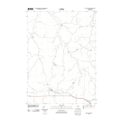 2010 Blue Mounds2010 Print · USGSDane County's distinctive driftless terrain and valley settlements are captured here in the early twenty-first century. Researchers can trace historic local clusters like Little Norway, the winding Military Ridge State Trl, and the branching waters of Elvers Creek.
 - 2010 Map of Pleasant Ridge, 2010 Print
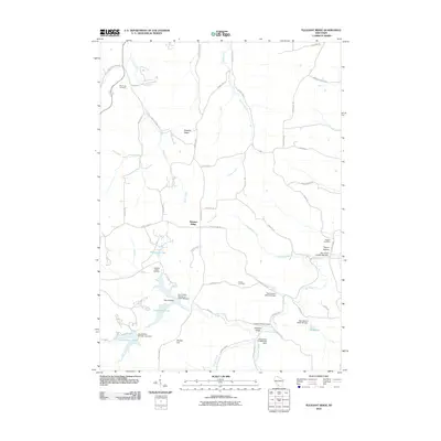 2010 Pleasant Ridge2010 Print · USGSIowa County at the start of the 2010s shows a landscape of winding coulees and modern reservoirs shaped by a network of local dams. Genealogists and historians can locate numerous rural burial sites like Rockwell Mills Cemetery and Ruggles Cemetery near the community of Pleasant Ridge.
 - 2010 Map of Mazomanie, 2010 Print
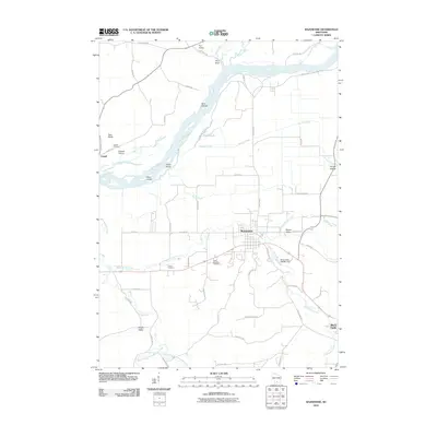 2010 Mazomanie2010 Print · USGSMazomanie and the Wisconsin River valley are captured here during the first decade of the 2000s. Genealogists and local historians can locate family burial sites at Saint Barnabas Cemetery and Culver Cemetery or trace the geography of Cassell Prairie and Knight Valley.
 - 2010 Map of Barneveld, 2010 Print
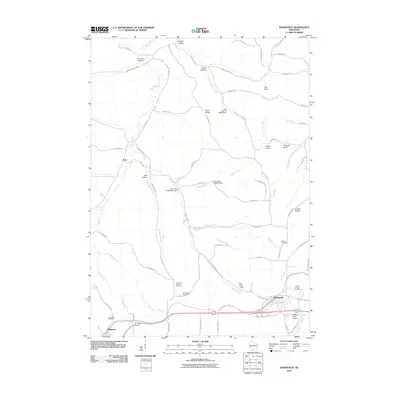 2010 Barneveld2010 Print · USGSThe Driftless Area of Iowa County comes into focus in the early twenty-first century, showing the enduring rural character of settlements like Barneveld and Hyde. Researchers can trace old family burial grounds at Jennieton Cemetery or follow the historic path of the Military Ridge State Trl.
 - 2013 Map of Pleasant Ridge, 2013 Print
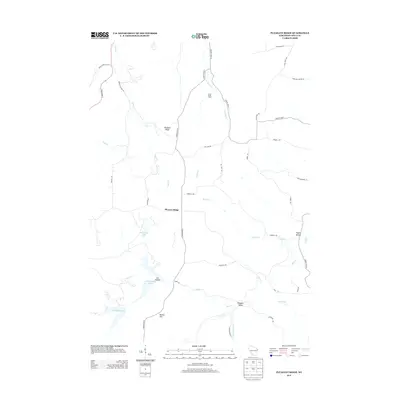 2013 Pleasant Ridge2013 Print · USGSIowa County at the start of the 2010s reveals a deeply dissected landscape of ridges and hollows defined by the waters of the Mill Creek basin. Genealogists and local historians can locate legacy properties like Cates Family Farm and trace the contours of Pleasant Ridge and Pleasant Valley.
 - 2013 Map of Spring Green, 2013 Print
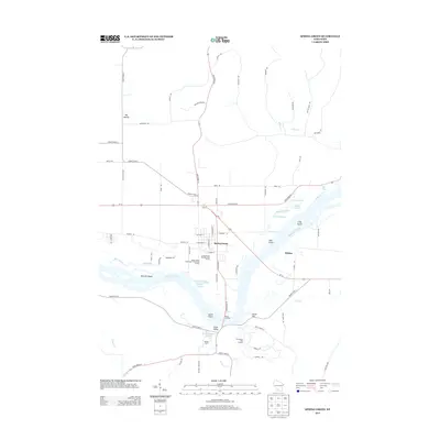 2013 Spring Green2013 Print · USGSThe Wisconsin River valley comes into sharp focus in this early twenty-first-century survey of the Spring Green area. Genealogists and local historians can trace the geography around Spring Green, the settlement at Helena, and landmarks like Pecks Landing and Tower Hill.
 - 2013 Map of Arena, 2013 Print
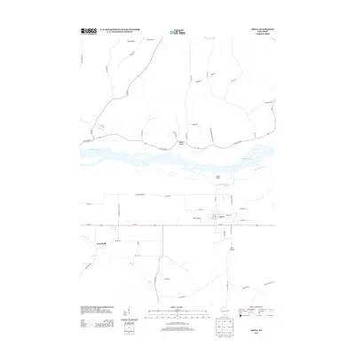 2013 Arena2013 Print · USGSThe village of Arena and its surrounding prairie land are captured here in the early twenty-first century. Researchers can trace the path of the Wisconsin River past Cedar Island or locate family landmarks near Coon Rock, Ray Hollow, and Point Bluff.
 - 2013 Map of Blue Mounds, 2013 Print
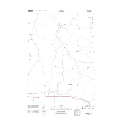 2013 Blue Mounds2013 Print · USGSWestern Dane County comes alive in this contemporary record of its valleys and Scandinavian heritage. Genealogists and hikers can trace the Old Indian Trl, locate the historic grounds of Little Norway, and explore settlements like Elvers and Bitsedalen.
 - 2013 Map of Barneveld, 2013 Print
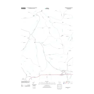 2013 Barneveld2013 Print · USGSBarneveld and the surrounding Iowa County uplands are captured in the early twenty-first century, showing the intersection of ridge-top travel and deep valley drainages. Genealogists and local historians can trace family-named geography like Amacher Hollow and Knight Hollow or locate landmarks such as Indian Castle.
 - 2013 Map of Mazomanie, 2013 Print
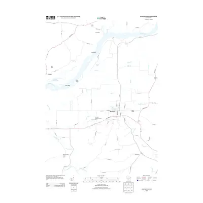 2013 Mazomanie2013 Print · USGSIn the early twenty-first century, the river valley around Mazomanie remained a landscape of dramatic bluffs and intricate wetlands. Researchers can trace the path of Black Earth Cr through the village or locate family-named landmarks like Ferry Bluff and Knight Valley.
 - 2016 Map of Barneveld, 2016 Print
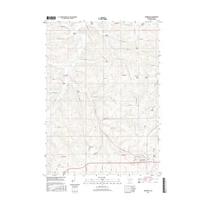 2016 Barneveld2016 Print · USGSIowa County at the turn of the century shows a landscape of ridge-top roads and deep-valley farms. Local historians can trace family locations near Jennieton Baptist Cem, Pinnacle Bluff, and the historic settlement at Hyde.
 - 2016 Map of Arena, 2016 Print
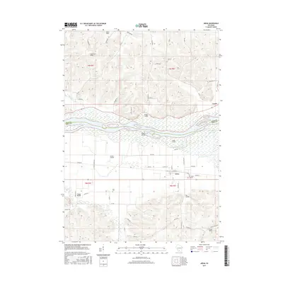 2016 Arena2016 Print · USGSThe Wisconsin River valley and its surrounding bluffs are shown here in the mid-2010s, centered on the village of Arena. Researchers can trace local burial sites at Arena Cem or explore the geography of Knight Hollow and the Arena Prairie.
 - 2016 Map of Pleasant Ridge, 2016 Print
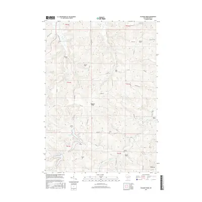 2016 Pleasant Ridge2016 Print · USGSWisconsin's Iowa County highlands are shown here in the mid-2010s, revealing a landscape of deep valleys and prominent ridges. Genealogists can trace family connections through numerous local burial sites like Rockwell Mills Cem, Ruggles Cem, and Pleasant Valley Cem.
 - 2016 Map of Mazomanie, 2016 Print
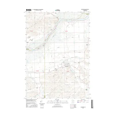 2016 Mazomanie2016 Print · USGSDane County's river-bottom lands and valley settlements are shown here during the mid-2010s as the Wisconsin River flows past the high points of Ferry Bluff. Genealogists can trace family landmarks at Saint Barnabus Cem or the smaller Culver Cem near Mazomanie.
 - 2016 Map of Blue Mounds, 2016 Print
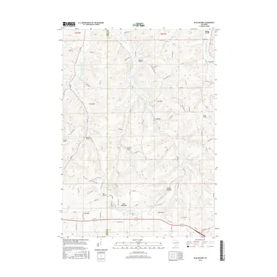 2016 Blue Mounds2016 Print · USGSThe high ridges of western Dane County are captured here in the mid-2010s, centered on the landmark heights of Blue Mounds. Researchers can trace old settlement patterns and family-named roads near Little Norway, Elvers, and the historic site of Pokerville.
 - 2016 Map of Spring Green, 2016 Print
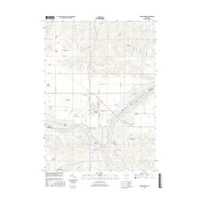 2016 Spring Green2016 Print · USGSThe Wisconsin River valley comes into focus in this mid-2010s survey of the Spring Green area. Genealogists and local historians can locate the Old Helena Cem, trace the reaches of Jones Valley, and explore river landmarks like Tower Hill and Metcalf Island.
 - 2018 Map of Spring Green, 2018 Print
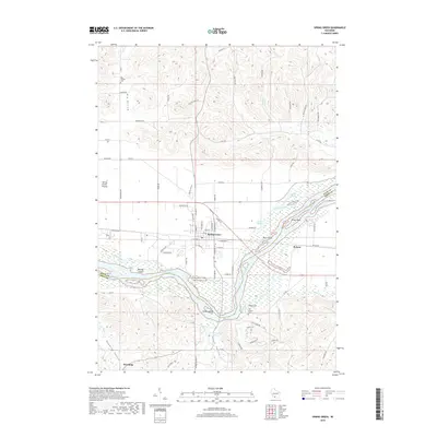 2018 Spring Green2018 Print · USGSThe Wisconsin River valley comes alive in this 2018 survey of the islands and sloughs near the Sauk and Iowa county line. Genealogists and local historians can trace family ties at the Big Hollow Cem or explore the riverfront near Tower Hill and Lower Taliesin.
 - 2018 Map of Pleasant Ridge, 2018 Print
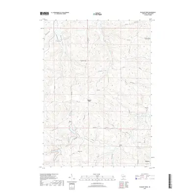 2018 Pleasant Ridge2018 Print · USGSIowa County is shown in detail during the late twenty-tens, focusing on the ridge-and-valley landscape around Pleasant Ridge. Genealogists and local historians can trace family locations near several burial sites, including Wyoming Cem, Griffith Cem, and the waters of Cox Hollow Lake.
 - 2018 Map of Barneveld, 2018 Print
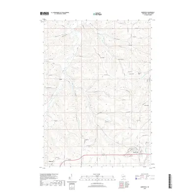 2018 Barneveld2018 Print · USGSThe Driftless Area of Iowa County comes into focus in the late 2010s, showing the enduring rural layout of Barneveld and Hyde. Researchers can trace family history through several local burial sites, including the Jennieton Cem and Eastside Cem, or locate landmarks like Indian Castle.
 - 2018 Map of Mazomanie, 2018 Print
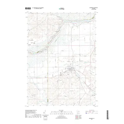 2018 Mazomanie2018 Print · USGSWisconsin's Driftless Area outskirts appear here in the late twenty-teens, showing the established communities of Mazomanie and Black Earth. Local researchers can trace family roots at Saint Barnabas Cem or explore the riverfront near Ferry Bluff.
 - 2018 Map of Blue Mounds, 2018 Print
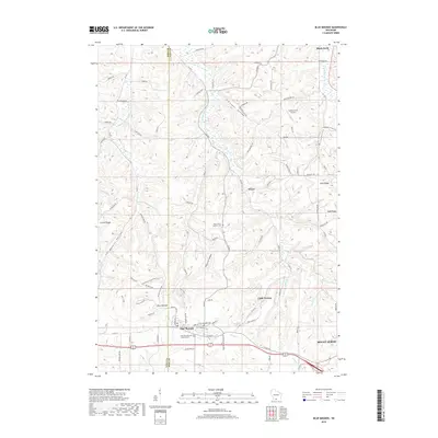 2018 Blue Mounds2018 Print · USGSThe Driftless Area of Dane and Iowa Counties comes into sharp focus during this era of modern mapping. Genealogists and historians can locate family sites at Saint James Catholic Cemetery, the settlement of Pokerville, and the historic Little Norway.
 - 2018 Map of Arena, 2018 Print
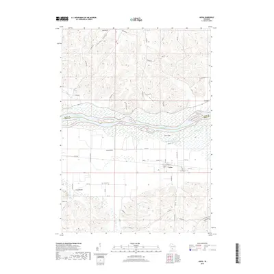 2018 Arena2018 Print · USGSThe Wisconsin River valley and the southern village of Arena are documented here during the late 2010s. Local researchers can trace family roots at Davis Cem and Arena Cem, or explore the geography of Arena Prairie and Knight Valley.
End of results
Showing maps 1-24 of 24
Top cities near Arena
- Mount Horeb historical maps
- Dodgeville historical maps
- Prairie du Sac historical maps
- Sauk City historical maps
- Roxbury historical maps
- Black Earth historical maps
See more
Top neighborhoods of Arena
Frequently asked questions
- What are the different types of historical maps available for Arena?
- What is the oldest map of Arena?
- Where can I purchase historical maps of Arena for my home or office?
- Where can I download high-res historical maps of Arena?
- Are there historical topographic maps available for Arena?
- Is there historical aerial imagery available for Arena?
- Where are historical maps of Arena sourced from?