Old Maps of Carter, Wisconsin for Academic Research
Study the evolution of Carter with 13 high-resolution historic maps. Whether you're teaching, researching, or modeling changes in land use, these maps provide essential visual documentation of urban, environmental, and geographic change.
- Analyze long-term change: Track patterns in development, transportation, and natural features.
- Ideal for environmental or urban studies: Support academic projects with primary historical map data.
- Use in the classroom or lab: Educators and researchers rely on these maps to bring historical context to life.
These maps are a powerful tool for teaching, research, and visualizing how Carter has changed over the decades.
Carter, WI maps
(13)- 1940 Map of Mercer, 1953 Print
 1940 Mercer1953 Print · USGSIron County’s lake-rich landscape is captured in the early 1940s, showing the early growth of Northwoods tourism and timber management. Researchers can trace the rail corridor of the Chicago and Northwestern, find the rural Springstead Sch, and locate the historic Mercer Fire Tower.
 - 1945 Map of Mercer
 1945 Mercer1945 Print · USGSIron County in the mid-1940s is defined by its massive flowage systems and transition from rail to highway travel. Genealogists and researchers can trace the rural infrastructure of Mercer via the Springstead Sch, Mercer Fire Tower, and the Chicago and Northwestern tracks.
 - 1947 Map of Mercer
 1947 Mercer1947 Print · USGSIron County’s lake country is captured here during the post-war years as the regional transport network evolved. Researchers can trace family roots through settlements like Mercer and Springstead, or locate landmarks such as the Springstead Sch and the Mercer Fire Tower.
 - 1953 Map of Ashland, 1964 Print
 1953 Ashland1964 Print · USGSNorthern Wisconsin's lakefront and timberlands are seen here in the mid-1950s, showing the intersection of industrial rail lines and vast wilderness. Genealogists and historians can trace the Soo Line through rail towns like Mellen or locate family roots in the Apostle Islands and Bad River Indian Reservation.3 unique versions available
 - 1955 Map of Mercer, 1957 Print
 1955 Mercer1957 Print · USGSIron County in the mid-1950s is a landscape of expansive forests and interconnected waterways. Researchers can trace the path of the CHICAGO AND NORTHWESTERN railroad or locate local landmarks like Springstead Sch and Murrays Landing.4 unique versions available
 - 1958 Map of Ashland
 1958 Ashland1958 Print · USGSCoastal Wisconsin and the Michigan borderlands meet here in the late fifties, dominated by the timbered expanses and iron-rich ranges. Genealogists can trace family footprints in settlements like Odanah and Montreal, or locate landmarks such as the Coast Guard Station and Agricultural Experiment Station.
 - 1973 Map of Lake of The Falls, 1976 Print
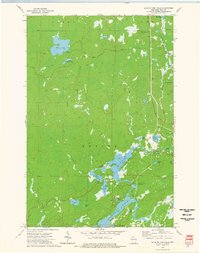 1973 Lake of The Falls1976 Print · USGSIron County's lake country in the early seventies shows a landscape shaped by water and the timber-era rail network. Researchers can trace the Chicago and North Western line through Carter or locate the Winter Trail near Moose Lake.
 - 1980 Map of Ironwood
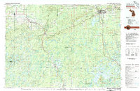 1980 Ironwood1980 Print · USGSThe Michigan-Wisconsin borderlands appear in the late twentieth century as a landscape defined by iron mining and deep forests. Researchers can trace the rail-and-river economy through the Soo Line and Chicago and North Western tracks connecting Mellen, Glidden, and Hurley.
 - 2010 Map of Lake of the Falls, 2010 Print
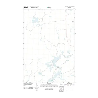 2010 Lake of the Falls2010 Print · USGSIron County's lake country is documented here in the early twenty-first century as a complex network of waterways and seasonal access roads. Researchers can trace land holdings near Carter and identify remote water bodies like Lac de Beaumont, Lipp Lake, and the Lake of the Falls Dam.
 - 2013 Map of Lake of the Falls, 2013 Print
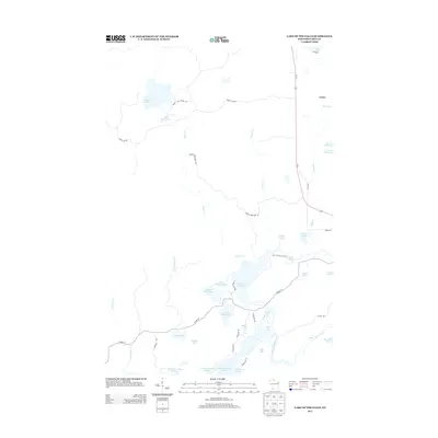 2013 Lake of the Falls2013 Print · USGSIron County's lake-strewn woods appear in this 2013 survey, capturing the region's vast network of interconnected basins and flowages. Genealogists and outdoorsmen can trace access to remote spots like Lac de Beaumont, First Black Lake, and the settlement of Carter.
 - 2015 Map of Lake of the Falls, 2015 Print
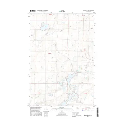 2015 Lake of the Falls2015 Print · USGSIron County's Northwoods landscape is captured here in the mid-2010s, showing the intricate waterways of the Upper Turtle River basin. Trace the connections between Lake of the Falls, Pike Lake, and the sprawling Turtle Flambeau Flowage among local landmarks like Carter.
 - 2018 Map of Lake of the Falls, 2018 Print
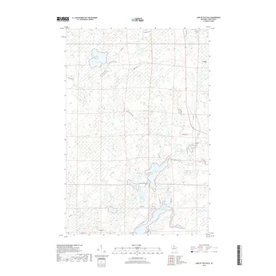 2018 Lake of the Falls2018 Print · USGSIron County’s Northwoods are captured here in the late 2010s, showing a landscape defined by the Turtle River and the sprawling Turtle Flambeau Flowage. Researchers can trace the drainage of Drinkwine Cr and locate remote settlements like Carter near Moose Lake.
 - 2022 Map of Lake of the Falls, 2022 Print
 2022 Lake of the Falls2022 Print · USGSIron County’s Northwoods are mapped here in the early twenty-first century, showing the complex river and lake networks of northern Wisconsin. You can trace the Turtle River as it connects Lake of the Falls to the Turtle-Flambeau Flowage and the settlement of Carter.
End of results
Showing maps 1-13 of 13
Top cities near Carter
- Ironwood historical maps
- Lac du Flambeau historical maps
- Mercer historical maps
- Hurley historical maps
- Montreal historical maps
- Manitowish Waters historical maps
See more
Frequently asked questions
- What are the different types of historical maps available for Carter?
- What is the oldest map of Carter?
- Where can I purchase historical maps of Carter for my home or office?
- Where can I download high-res historical maps of Carter?
- Are there historical topographic maps available for Carter?
- Is there historical aerial imagery available for Carter?
- Where are historical maps of Carter sourced from?