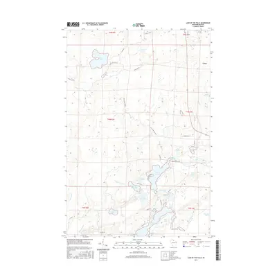
2015 Map of Lake of the Falls
USGS Topo · Published 2015About this map
Lake of the Falls and the surrounding Iron County wetlands define this landscape in the northern Wisconsin woods. This mid-2010s survey captures a complex hydrologic network where the Turtle River feeds into the Turtle Flambeau Flowage, an expansive water body that reshaped the region's topography. The map documents a series of glacial lakes including First Black Lake, Second Black Lake, and Third Black Lake, alongside isolated waters like Lac de Beaumont and Moose Lake. While largely dominated by water and forest, the small settlement of Carter appears on the eastern edge. Local access is marked by a network of rural routes such as Russell Brothers Rd and N Musky Point Rd, providing a detailed look at how recreation and residency are integrated into this Northwoods river system.
Find a feature on this map
51 named features on this map. Tap any name to fly to it.
Don’t see what you’re looking for? This feature index may not catch every label — zoom into the map to look around manually.
Map Details
Editions of this 2015 Lake of the Falls Map
This is the sole edition of this map. No revisions or reprints were ever made.
Other maps of this area

1940 · Mercer
USGS Topo · 1:48,000

1940 · Butternut
USGS Topo · 1:48,000

1940 · Upson
USGS Topo · 1:48,000

1943 · Upson
USGS Topo · 1:48,000

1943 · Ironwood
USGS Topo · 1:48,000

1945 · Mercer
USGS Topo · 1:48,000

1947 · Butternut
USGS Topo · 1:48,000

1947 · Mercer
USGS Topo · 1:48,000

1950 · Butternut
USGS Topo · 1:48,000

1953 · Ashland
USGS Topo · 1:250,000