2010s Maps of Brockway, Wisconsin
Explore 16 historic maps of Brockway from the 2010s. These maps offer a rare glimpse into what life looked like during the 2010s — showing old roads, neighborhoods, homes, and landmarks that have changed or disappeared over time.
Whether you're researching your family's past, planning a metal detecting trip, or studying how Brockway's landscape evolved across the 2010s, these high-resolution maps are a powerful tool for exploring the history of this region.
- Focus on a specific era: All maps on this page are from the 2010s, giving you a focused view of this time period.
- See what’s changed: Compare century-old streets, trails, and buildings to today's modern landscape using overlays and satellite layers.
- Research with precision: Use these maps for genealogy, historical research, land use analysis, or educational projects.
- View, download, or print: Maps are fully viewable online in high resolution, and can be downloaded or printed for your own records.
Start exploring Brockway's history through authentic maps from the 2010s. This is your window into the past.
Brockway, WI maps
(16)- 2010 Map of Shamrock, 2010 Print
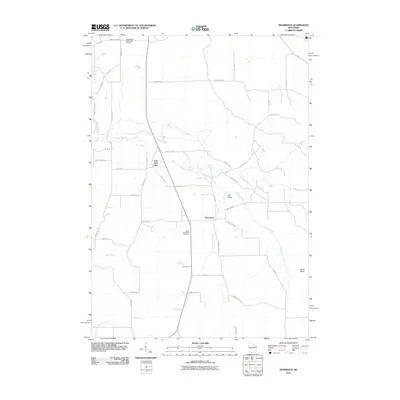 2010 Shamrock2010 Print · USGSWisconsin's rural Jackson County is captured here at the start of the 2010s, centered on the historic crossroads of Shamrock. Local researchers can locate Saint Columkille Cemetery and trace the winding waters of Robinson Creek past the landmark Fall Hall Glen.
 - 2010 Map of Millston, 2010 Print
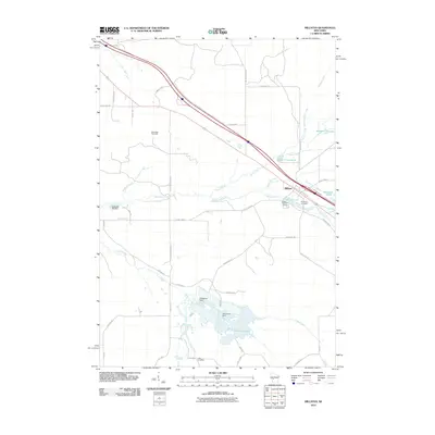 2010 Millston2010 Print · USGSJackson County at the start of the decade reveals a landscape shaped by water and woods near Millston. Genealogists and historians can trace local landmarks like Brookside Cemetery and the Oak Ridge Fire Tower or locate the settlement at Lees Crossing.
 - 2010 Map of Hatfield SW, 2010 Print
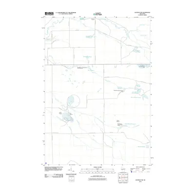 2010 Hatfield SW2010 Print · USGSBrockway and Jackson County appear here in the early twenty-first century as a landscape shaped by iron mining and federal water projects. Genealogists and historians can locate the Komensky Cemetery and trace industrial footprints at the Jackson County Iron Mine and Squaw Mound.
 - 2010 Map of Black River Falls, 2010 Print
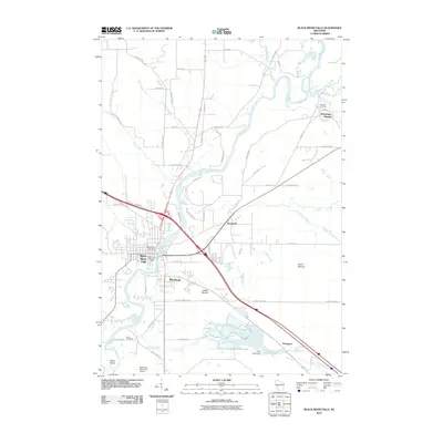 2010 Black River Falls2010 Print · USGSBlack River Falls and the surrounding Jackson County countryside are shown here in the early twenty-first century, centered on the river's power and legacy. Researchers can trace local heritage at the Winnebago Mission or locate family plots at Decorah Cemetery and Olson Cemetery.
 - 2013 Map of Millston, 2013 Print
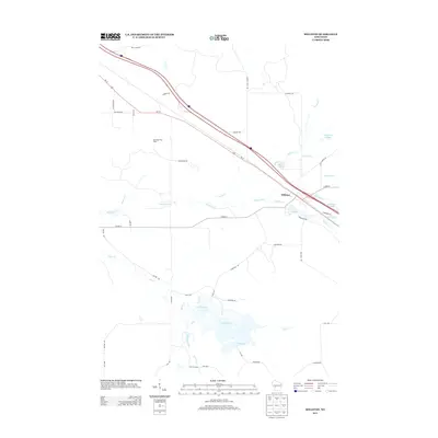 2013 Millston2013 Print · USGSJackson County in the early twenty-first century remains a landscape of managed wetlands and quiet rural crossroads. Trace the waterways and local routes surrounding Millston, from the Oak Ridge Fire Tower to the waters of Robinson Pond and Sharptail Flowage.
 - 2013 Map of Hatfield SW, 2013 Print
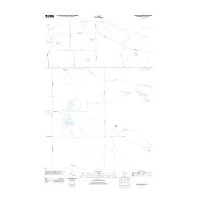 2013 Hatfield SW2013 Print · USGSIn the wetlands of Jackson County during the early twenty-first century, a complex system of managed waterways and marshes dominates the landscape. Local historians can trace the intricate network of Funmaker Flowage and Staffon Flowage or locate landmarks like Squaw Mound.
 - 2013 Map of Black River Falls, 2013 Print
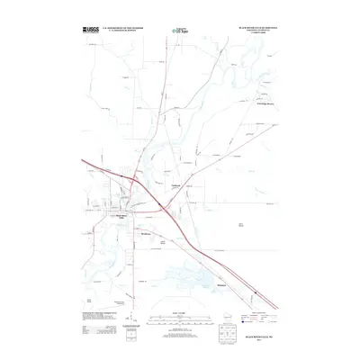 2013 Black River Falls2013 Print · USGSBlack River Falls and the surrounding Jackson County countryside are shown here at the start of the 2010s. Local researchers can trace landmarks like the Winnebago Mission, the elevations of Castle Mound, and the agricultural footprints of the Cranberry Flowage.
 - 2013 Map of Shamrock, 2013 Print
 2013 Shamrock2013 Print · USGSWisconsin's Jackson County interior is shown in the early twenty-first century, featuring the rural intersection at Shamrock. Local historians can trace family land and geographic landmarks including Irish Valley, Fall Hall Glen, and the Black River Falls Area Airport.
 - 2015 Map of Hatfield SW, 2015 Print
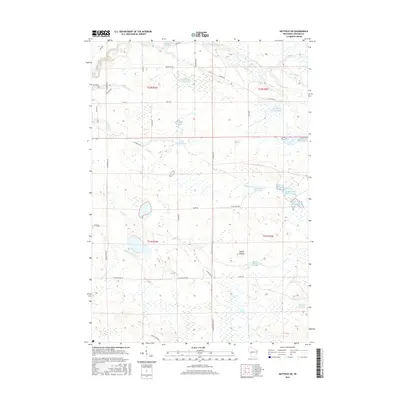 2015 Hatfield SW2015 Print · USGSThe marshlands of Jackson County are shown in great detail in this 2015 survey of the Hatfield SW area. Researchers can trace the extensive system of flowages and marshes including Staffon Flowage, the namesake Squaw Mound, and the winding Indian Grave Cr.
 - 2015 Map of Black River Falls, 2015 Print
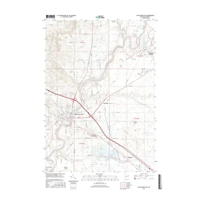 2015 Black River Falls2015 Print · USGSBlack River Falls and the surrounding Jackson County highlands are captured here during a period of modern growth and heritage preservation. Genealogists and local historians can trace the paths of ancestors near Winnebago Mission, Decorah Cem, and the iconic Castle Mound.
 - 2015 Map of Millston, 2015 Print
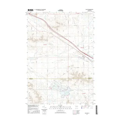 2015 Millston2015 Print · USGSMillston and the surrounding Jackson County wetlands are captured here in the early twenty-first century. Genealogists and local researchers can trace family landmarks like Brookside Cem and the complex waters of Robinson Cr and North Flowage.
 - 2015 Map of Shamrock, 2015 Print
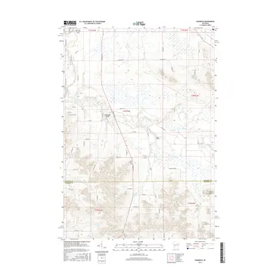 2015 Shamrock2015 Print · USGSWisconsin's rural interior comes into focus during the mid-2010s as it straddles the Jackson and Monroe county line. Local historians can trace family-named roads and landmarks like Saint Columkille Cem, Irish Valley, and the small settlement of Shamrock.
 - 2018 Map of Hatfield SW, 2018 Print
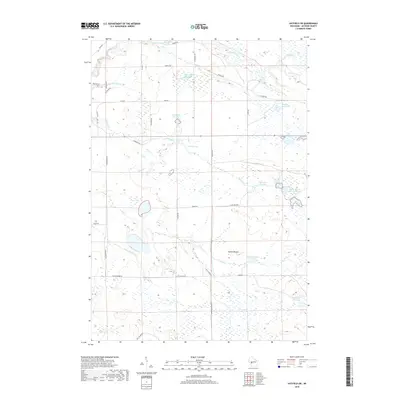 2018 Hatfield SW2018 Print · USGSJackson County’s marshy lowlands are captured here in the late 2010s, showcasing an intricate system of managed wetlands and flowages. Researchers can trace the water levels of Staffon Flowage and Teal Flowage or locate the landmark of Squaw Mound.
 - 2018 Map of Black River Falls, 2018 Print
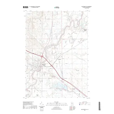 2018 Black River Falls2018 Print · USGSIn this modern survey of Jackson County, the Ho-Chunk heritage of the region is centered at Black River Falls. Local historians can trace the landscape from Winnebago Mission to Castle Mound, or locate family sites like Decorah Cem and Olson Cem.
 - 2018 Map of Shamrock, 2018 Print
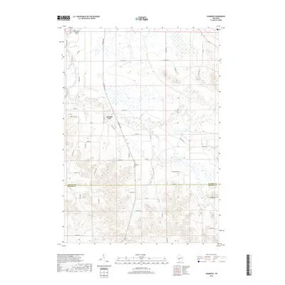 2018 Shamrock2018 Print · USGSJackson and Monroe Counties come alive in this late-period survey of the Wisconsin interior. Genealogists can locate Saint Columbkille Cem and the settlement at Fall Hall Glen among the ridges of Irish Valley.
 - 2018 Map of Millston, 2018 Print
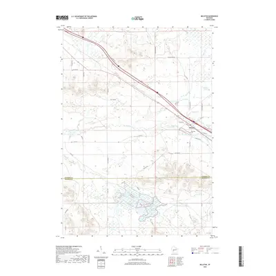 2018 Millston2018 Print · USGSMillston and the surrounding wetlands of Jackson County are documented here in the late twenty-teens. Researchers can trace local lineage at Brookside Cem and explore the vast water systems of the North Flowage and Robinson Cr.
End of results
Showing maps 1-16 of 16
Top cities near Brockway
- Black River Falls historical maps
- Burns historical maps
- Irving historical maps
- Merrillan historical maps
- Melrose historical maps
- Alma Center historical maps
See more
Top neighborhoods of Brockway
- Sheppard historical maps
- Vaudreuil historical maps
- Lake Wazee historical maps
- Sand Pillow historical maps
Frequently asked questions
- What are the different types of historical maps available for Brockway?
- What is the oldest map of Brockway?
- Where can I purchase historical maps of Brockway for my home or office?
- Where can I download high-res historical maps of Brockway?
- Are there historical topographic maps available for Brockway?
- Is there historical aerial imagery available for Brockway?
- Where are historical maps of Brockway sourced from?