Old Maps of Lake Wazee, Wisconsin for Genealogy
Trace your family roots with 11 historic maps of Lake Wazee. These high-res maps reveal old neighborhoods, homesites, landmarks, and streets — helping you uncover where your ancestors lived and how the area evolved over time.
- Explore historic neighborhoods: Identify where your relatives may have lived in the 1800s or 1900s.
- Compare maps over time: Trace the changes in streets, buildings, and landmarks for multi-generational research.
- Perfect for genealogy & ancestry research: Used by family historians and researchers to map out lineage and migration.
These maps are an incredible resource for exploring your personal connection to Lake Wazee's past.
Lake Wazee, WI maps
(11)- 1953 Map of Eau Claire, 1965 Print
 1953 Eau Claire1965 Print · USGSWest-central Wisconsin in the mid-fifties shows a landscape of river-valley industry and vast wildlife refuges during the transition from rails to modern highways. Genealogists and historians can trace the rail corridors of the Chicago and North Western or locate family-named landmarks like Decorah Mound and Chippewa Island.4 unique versions available
 - 1958 Map of Eau Claire
 1958 Eau Claire1958 Print · USGSWestern Wisconsin in the late fifties shows a landscape of growing regional hubs and massive wildlife refuges. Trace the rail lines of the Chicago and North Western between Eau Claire and Marshfield, or explore the terrain around Iron Mound and Lake Wissota.
 - 1958 Map of Hatfield, 1960 Print
 1958 Hatfield1960 Print · USGSIn the late fifties, the central Wisconsin lake country was defined by its vast flowage systems and timbered mounds. Researchers can trace rural school locations like Carlyle Sch and explore old transport routes through Komensky Station or along an old railroad grade.
 - 1964 Map of Eau Claire
 1964 Eau Claire1964 Print · USGSWest-central Wisconsin in the mid-1960s was a hub of river-driven industry and expanding rail networks. Researchers can trace historic homesteads near Menomonie, follow the Soo Line RR through Marshfield, or explore the grounds of the Camp McCoy Military Reservation.
 - 1970 Map of Hatfield SW, 1972 Print
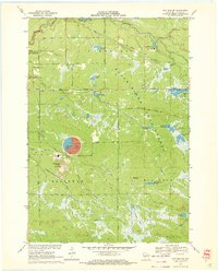 1970 Hatfield SW1972 Print · USGSJackson County is shown during a period of industrial expansion in the early seventies. Genealogists and historians can trace the footprint of the Jackson County Iron Mine and local landmarks like Komensky Station, Iron Mound, and the Staffon Flowage.3 unique versions available
 - 1985 Map of Black River Falls
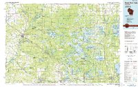 1985 Black River Falls1985 Print · USGSCentral Wisconsin in the mid-1980s is defined by its sprawling wildlife refuges and the winding Black River corridor. Genealogists and researchers can trace rural settlements like Millston and Warrens or locate historical sites such as the Iron Mine and the grounds of Fort McCoy.2 unique versions available
 - 2010 Map of Hatfield SW, 2010 Print
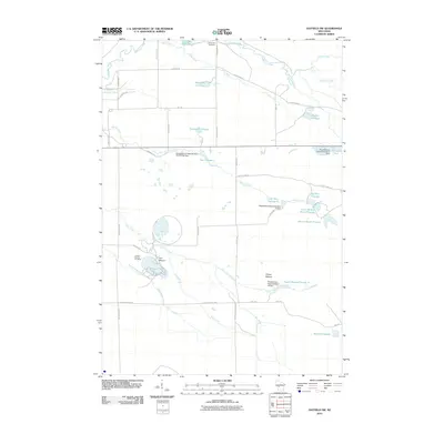 2010 Hatfield SW2010 Print · USGSBrockway and Jackson County appear here in the early twenty-first century as a landscape shaped by iron mining and federal water projects. Genealogists and historians can locate the Komensky Cemetery and trace industrial footprints at the Jackson County Iron Mine and Squaw Mound.
 - 2013 Map of Hatfield SW, 2013 Print
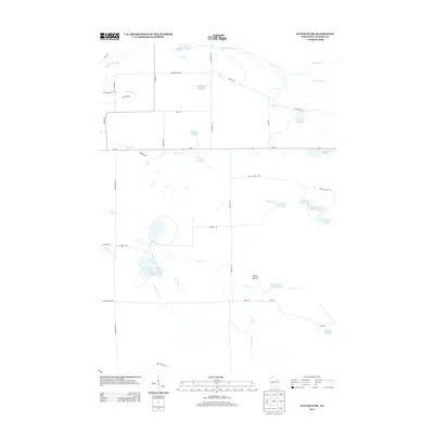 2013 Hatfield SW2013 Print · USGSIn the wetlands of Jackson County during the early twenty-first century, a complex system of managed waterways and marshes dominates the landscape. Local historians can trace the intricate network of Funmaker Flowage and Staffon Flowage or locate landmarks like Squaw Mound.
 - 2015 Map of Hatfield SW, 2015 Print
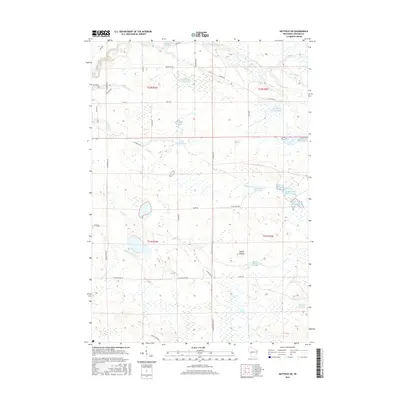 2015 Hatfield SW2015 Print · USGSThe marshlands of Jackson County are shown in great detail in this 2015 survey of the Hatfield SW area. Researchers can trace the extensive system of flowages and marshes including Staffon Flowage, the namesake Squaw Mound, and the winding Indian Grave Cr.
 - 2018 Map of Hatfield SW, 2018 Print
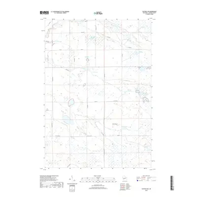 2018 Hatfield SW2018 Print · USGSJackson County’s marshy lowlands are captured here in the late 2010s, showcasing an intricate system of managed wetlands and flowages. Researchers can trace the water levels of Staffon Flowage and Teal Flowage or locate the landmark of Squaw Mound.
 - 2023 Map of Hatfield SW, 2023 Print
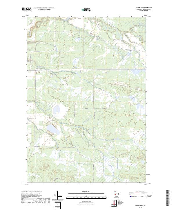 2023 Hatfield SW2023 Print · USGSJackson County's wetlands and timbered ridges are meticulously documented in this recent survey of the Hatfield SW area. Researchers can trace the winding paths of Indian Grave Creek and Morrison Creek or locate landmarks like Levis Mound and Trowe Marsh.
End of results
Showing maps 1-11 of 11
Top cities near Lake Wazee
- Black River Falls historical maps
- Brockway historical maps
- Burns historical maps
- Irving historical maps
- Merrillan historical maps
- Alma Center historical maps
See more
Frequently asked questions
- What are the different types of historical maps available for Lake Wazee?
- What is the oldest map of Lake Wazee?
- Where can I purchase historical maps of Lake Wazee for my home or office?
- Where can I download high-res historical maps of Lake Wazee?
- Are there historical topographic maps available for Lake Wazee?
- Is there historical aerial imagery available for Lake Wazee?
- Where are historical maps of Lake Wazee sourced from?