2000s (21st Century) Maps of Komensky, Wisconsin
Explore 30 historic maps of Komensky from the 2000s (21st Century). These maps offer a rare glimpse into what life looked like during the 2000s — showing old roads, neighborhoods, homes, and landmarks that have changed or disappeared over time.
Whether you're researching your family's past, planning a metal detecting trip, or studying how Komensky's landscape evolved across the 2000s, these high-resolution maps are a powerful tool for exploring the history of this region.
- Focus on a specific era: All maps on this page are from the 2000s, giving you a focused view of this time period.
- See what’s changed: Compare century-old streets, trails, and buildings to today's modern landscape using overlays and satellite layers.
- Research with precision: Use these maps for genealogy, historical research, land use analysis, or educational projects.
- View, download, or print: Maps are fully viewable online in high resolution, and can be downloaded or printed for your own records.
Start exploring Komensky's history through authentic maps from the 2000s. This is your window into the past.
Komensky, WI maps
(30)- 2010 Map of Merrillan, 2010 Print
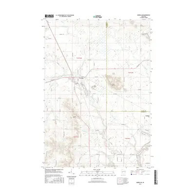
 2010 Merrillan2010 Print · USGSCovers Komensky, including Merrillan, Dewhurst, and other nearby areas
 - 2010 Map of Hatfield NE, 2010 Print
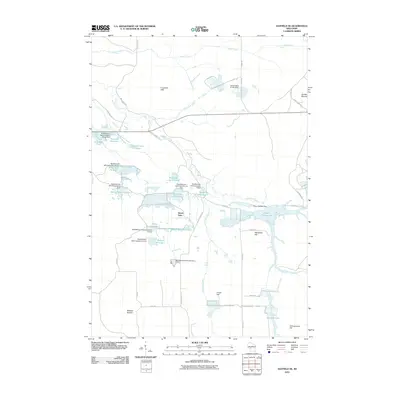
 2010 Hatfield NE2010 Print · USGSCovers Komensky, including City Point, Levis, and other nearby areas
 - 2010 Map of Hatfield, 2010 Print
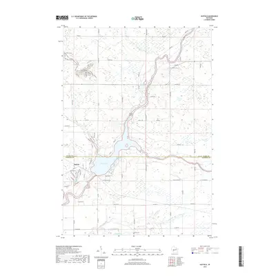
 2010 Hatfield2010 Print · USGSCovers Komensky, including Hatfield, Levis, and other nearby areas
 - 2010 Map of Hatfield SW, 2010 Print
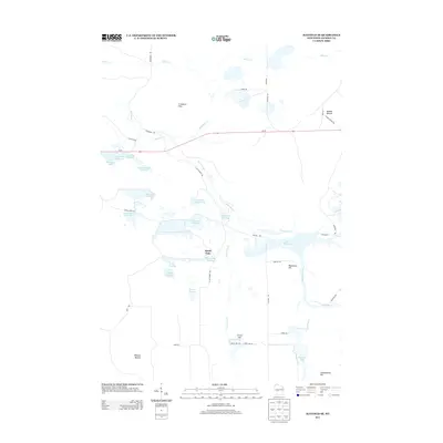
 2010 Hatfield SW2010 Print · USGSCovers Komensky, including Brockway, Millston, and other nearby areas
 - 2010 Map of Hatfield SE, 2010 Print
 2010 Hatfield SE2010 Print · USGSCovers Komensky, including City Point, Millston, and other nearby areas
 - 2010 Map of Black River Falls, 2010 Print
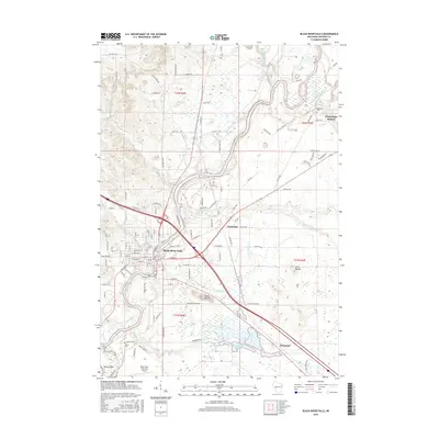
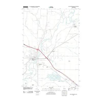 2010 Black River Falls2010 Print · USGSCovers Komensky, including Black River Falls, Brockway, and other nearby areas
 - 2013 Map of Hatfield SE, 2013 Print
 2013 Hatfield SE2013 Print · USGSCovers Komensky, including City Point, Millston, and other nearby areas
 - 2013 Map of Hatfield NE, 2013 Print
 2013 Hatfield NE2013 Print · USGSCovers Komensky, including City Point, Levis, and other nearby areas
 - 2013 Map of Hatfield SW, 2013 Print
 2013 Hatfield SW2013 Print · USGSCovers Komensky, including Brockway, Millston, and other nearby areas
 - 2013 Map of Merrillan, 2013 Print
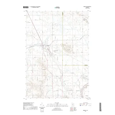
 2013 Merrillan2013 Print · USGSCovers Komensky, including Merrillan, Dewhurst, and other nearby areas
 - 2013 Map of Black River Falls, 2013 Print
 2013 Black River Falls2013 Print · USGSCovers Komensky, including Black River Falls, Brockway, and other nearby areas
 - 2013 Map of Hatfield, 2013 Print
 2013 Hatfield2013 Print · USGSCovers Komensky, including Hatfield, Levis, and other nearby areas
 - 2015 Map of Hatfield SW, 2015 Print
 2015 Hatfield SW2015 Print · USGSCovers Komensky, including Brockway, Millston, and other nearby areas
 - 2015 Map of Hatfield, 2015 Print
 2015 Hatfield2015 Print · USGSCovers Komensky, including Hatfield, Levis, and other nearby areas
 - 2015 Map of Hatfield NE, 2015 Print
 2015 Hatfield NE2015 Print · USGSCovers Komensky, including City Point, Levis, and other nearby areas
 - 2015 Map of Hatfield SE, 2015 Print
 2015 Hatfield SE2015 Print · USGSCovers Komensky, including City Point, Millston, and other nearby areas
 - 2015 Map of Black River Falls, 2015 Print
 2015 Black River Falls2015 Print · USGSCovers Komensky, including Black River Falls, Brockway, and other nearby areas
 - 2015 Map of Merrillan, 2015 Print
 2015 Merrillan2015 Print · USGSCovers Komensky, including Merrillan, Dewhurst, and other nearby areas
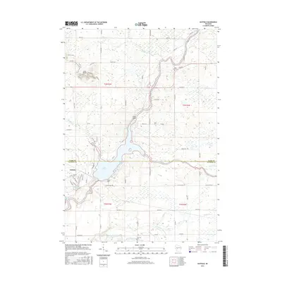
 - 2018 Map of Merrillan, 2018 Print
 2018 Merrillan2018 Print · USGSCovers Komensky, including Merrillan, Dewhurst, and other nearby areas
 - 2018 Map of Hatfield, 2018 Print
 2018 Hatfield2018 Print · USGSCovers Komensky, including Hatfield, Levis, and other nearby areas
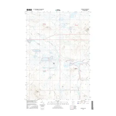
 - 2018 Map of Hatfield NE, 2018 Print
 2018 Hatfield NE2018 Print · USGSCovers Komensky, including City Point, Levis, and other nearby areas
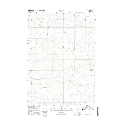
 - 2018 Map of Hatfield SW, 2018 Print
 2018 Hatfield SW2018 Print · USGSCovers Komensky, including Brockway, Millston, and other nearby areas
 - 2018 Map of Black River Falls, 2018 Print
 2018 Black River Falls2018 Print · USGSCovers Komensky, including Black River Falls, Brockway, and other nearby areas
 - 2018 Map of Hatfield SE, 2018 Print
 2018 Hatfield SE2018 Print · USGSCovers Komensky, including City Point, Millston, and other nearby areas
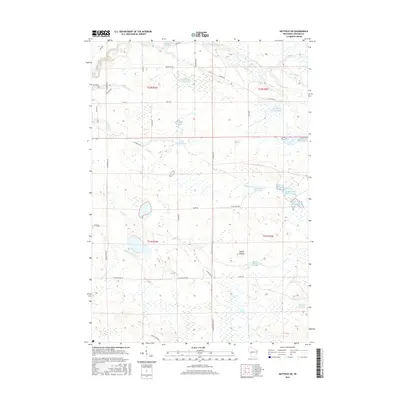
 - 2022 Map of Hatfield NE, 2022 Print
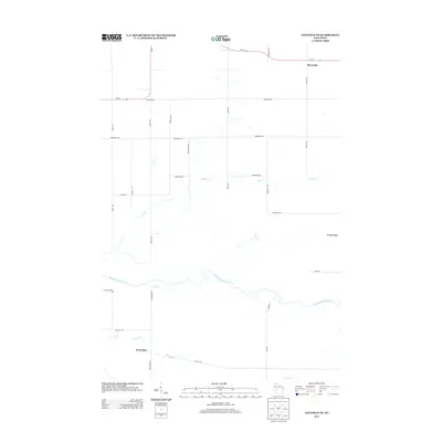
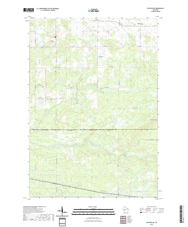 2022 Hatfield NE2022 Print · USGSThe Clark and Jackson County borderlands are documented here in the early twenty-first century, centered on the East Fork Black River. Genealogists and local historians can locate Shortville, the Levis Cem, and the crossing of Old Hwy 54 near Waterbury.
Showing maps 1-25 of 30
Top cities near Komensky
- Black River Falls historical maps
- Brockway historical maps
- Neillsville historical maps
- Irving historical maps
- Merrillan historical maps
- Alma Center historical maps
See more
Top neighborhoods of Komensky
Frequently asked questions
- What are the different types of historical maps available for Komensky?
- What is the oldest map of Komensky?
- Where can I purchase historical maps of Komensky for my home or office?
- Where can I download high-res historical maps of Komensky?
- Are there historical topographic maps available for Komensky?
- Is there historical aerial imagery available for Komensky?
- Where are historical maps of Komensky sourced from?