Old Maps of Waterloo, Wisconsin for Genealogy
Trace your family roots with 26 historic maps of Waterloo. These high-res maps reveal old neighborhoods, homesites, landmarks, and streets — helping you uncover where your ancestors lived and how the area evolved over time.
- Explore historic neighborhoods: Identify where your relatives may have lived in the 1800s or 1900s.
- Compare maps over time: Trace the changes in streets, buildings, and landmarks for multi-generational research.
- Perfect for genealogy & ancestry research: Used by family historians and researchers to map out lineage and migration.
These maps are an incredible resource for exploring your personal connection to Waterloo's past.
Waterloo, WI maps
(26)- 1890 Map of Sun Prairie
 1890 Sun Prairie1890 Print · USGSEastern Dane County was a landscape of budding rail towns and glacial ridges in the late nineteenth century. Genealogists and local historians can trace the early footprints of Sun Prairie, Deerfield, and Marshall along the active corridors of the Chicago and Northwestern Railroad.2 unique versions available
 - 1891 Map of Waterloo
 1891 Waterloo1891 Print · USGSJefferson County was an agricultural and rail landscape during the 1890s, defined by its winding river systems and glacial lakes. Genealogists can trace property locations near Lake Mills, Aztalan, and the Crawfish River during this period of early growth.
 - 1894 Map of Waterloo
 1894 Waterloo1894 Print · USGSJefferson County was an expanding hub of rail and river commerce in the 1890s as several major lines connected new settlements. You can trace early township boundaries and find the footprints of Lake Mills and Waterloo alongside the Rock River.2 unique versions available
 - 1896 Map of Sun Prairie
 1896 Sun Prairie1896 Print · USGSEastern Dane County in the 1880s is captured here as a landscape of glacial ridges and emerging rail towns. Genealogists and local historians can trace early homesteads and rail stops like Deansville, Cottage Grove, and London.2 unique versions available
 - 1905 Map of Sun Prairie, 1959 Print
 1905 Sun Prairie1959 Print · USGSIn the early twentieth century, this part of Dane County was a thriving network of rail-stop towns and dairy farms. Genealogists and historians can trace the original rail paths of the Milwaukee Road through settlements like Sun Prairie, Deerfield, and Marshall.
 - 1907 Map of Sun Prairie
 1907 Sun Prairie1907 Print · USGSEastern Dane County at the turn of the century shows a landscape of rail-connected dairy towns and glacial wetlands. Genealogists and historians can trace family locations near York Center, Liberty Mound, and the old rail junction at London.8 unique versions available
 - 1910 Map of Waterloo
 1910 Waterloo1910 Print · USGSJefferson County’s river valleys and rail hubs are preserved here during the Edwardian era. Genealogists and historians can trace the rail-and-river economy through landmarks like Jefferson Junction, Hoopers Mill, and the early shoreline of Rock Lake.2 unique versions available
 - 1957 Map of Madison, 1967 Print
 1957 Madison1967 Print · USGSSouth-central Wisconsin in the mid-fifties reveals a landscape of industrial hubs and glacial lakes linked by a dense rail and highway network. Genealogists and historians can trace the development of lakeside communities and find notable sites like Badger Ordnance Works and the Horicon National Wildlife Refuge.3 unique versions available
 - 1959 Map of Waterloo, 1960 Print
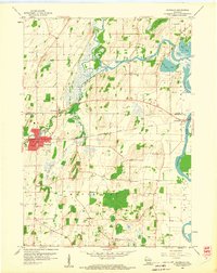 1959 Waterloo1960 Print · USGSWaterloo and its river-carved surroundings are captured here in the late fifties, showing a landscape shaped by glacial deposits and rail travel. Researchers can trace rural lineages through local landmarks like St Wenceslaus Ch, Oak Hill Cem, and the small river community of Hubbleton.3 unique versions available
 - 1959 Map of Waterloo, 1961 Print
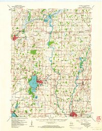 1959 Waterloo1961 Print · USGSJefferson County in the late fifties remains a landscape defined by its river bends and the crossing of major rail lines. Genealogists can locate family landmarks like Moravian Cem and Hoopers Mill, or trace the many rural school districts from Badger Sch to Hilltop Sch.
 - 1960 Map of Madison
 1960 Madison1960 Print · USGSCentral and Southern Wisconsin are captured in the late fifties, showing the region as its rail-and-river network matured. Trace the paths of the Soo Line RR or locate family roots near Lake Mendota and Horicon National Wildlife Refuge.2 unique versions available
 - 1962 Map of Marshall, 1964 Print
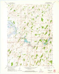 1962 Marshall1964 Print · USGSThe agricultural heart of Dane County comes into focus in the early sixties, centered on the Maunesha River and the rail-driven town of Marshall. Researchers can trace old family lines through local sites like Deansville Cem and the settlement at York Center.3 unique versions available
 - 1962 Map of Sun Prairie, 1964 Print
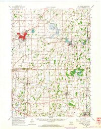 1962 Sun Prairie1964 Print · USGSEastern Dane County thrives as a rail-connected agricultural region in the early sixties, centered on the growing community of Sun Prairie. Researchers can trace old family roots through numerous landmarks like the Prairie Queen Sch, York Center Ch, and the Liberty Prairie Cem.2 unique versions available
 - 1984 Map of Oconomowoc, 1985 Print
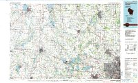 1984 Oconomowoc1985 Print · USGSSoutheast Wisconsin in the mid-eighties shows a landscape defined by its glacial heritage and expanding metropolitan corridors. Genealogists and historians can trace the development of lakeside communities like Oconomowoc and Pewaukee, or find established settlements such as Watertown and Beaver Dam.
 - 1991 Map of Oconomowoc
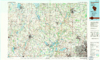 1991 Oconomowoc1991 Print · USGSSoutheastern Wisconsin in the early nineties shows a landscape of glacial lakes and growing suburbs. Trace local history through Aztalan State Park, Carroll College, and the sprawling Horicon Marsh State Wildlife Area.
 - 1991 Map of Madison
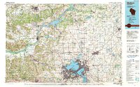 1991 Madison1991 Print · USGSMadison and its iconic glacial lakes are captured here during a time of steady urban expansion and regional growth. Researchers can trace the mid-century development of the University of Wisconsin, locate family sites near Forest Hill Cem, or explore the footprint of the Badger Army Ammunition Plant.
 - 2010 Map of Marshall, 2010 Print
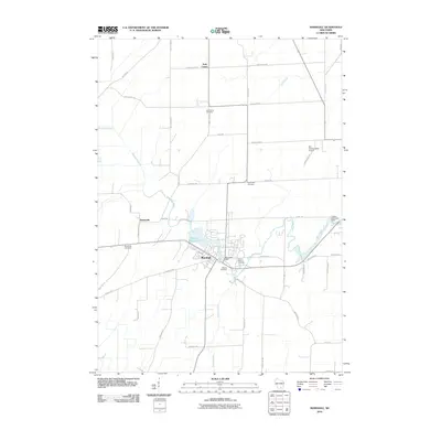 2010 Marshall2010 Print · USGSDane County's rural landscape is captured here in the early twenty-first century, centered on the village of Marshall. Researchers can trace the lineage of local families through sites like York Center Cemetery, Deansville Cemetery, and the banks of the Maunesha River.
 - 2011 Map of Waterloo, 2011 Print
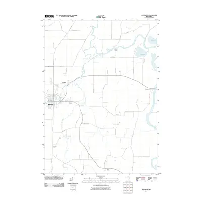 2011 Waterloo2011 Print · USGSJefferson County's rural character and riverine landscape are captured here in the early 2000s, centered on the growing community of Waterloo. Genealogists can locate several historic burial sites, such as Washington Cemetery, Island Cemetery, and Neville Cemetery.
 - 2013 Map of Waterloo, 2013 Print
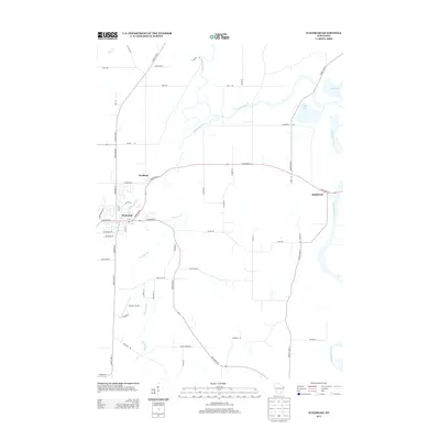 2013 Waterloo2013 Print · USGSJefferson County’s agricultural heartland is documented here in the early twenty-first century, centered on the river-linked communities of Waterloo and Portland. Trace the local waterways and transport routes that define the area, from Tesmer Airport to the shores of Chub Lake.
 - 2013 Map of Marshall, 2013 Print
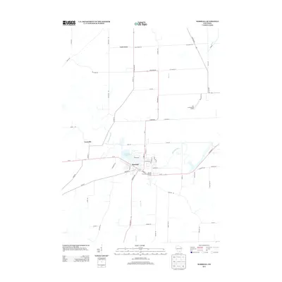 2013 Marshall2013 Print · USGSAgricultural Dane County comes into focus in this recent survey of the settlements between Madison and Waterloo. Researchers can map the modern layout of Marshall and Deansville, or locate landmarks like the Der Schwarzwald Airport and Marshall Millpond 72.
 - 2015 Map of Waterloo, 2015 Print
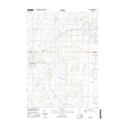 2015 Waterloo2015 Print · USGSThe river valleys of Jefferson and Dodge Counties come alive in this mid-2010s survey of the Crawfish River basin. Genealogists and local historians can trace family ties through several rural burial sites, including Island Cem, South Road Cem, and Neville Cem.
 - 2016 Map of Marshall, 2016 Print
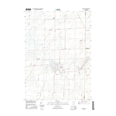 2016 Marshall2016 Print · USGSDane and Dodge counties meet in this detailed 2010s survey of the central Wisconsin dairy corridor and the village of Marshall. Researchers can trace old family sites across a landscape dotted with the Deansville Cem, York Center Cem, and the waters of the Maunesha River.
 - 2018 Map of Waterloo, 2018 Print
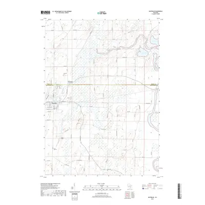 2018 Waterloo2018 Print · USGSWisconsin's glacial landscape near the Jefferson and Dodge county line is documented here in the late 2010s. Genealogists can trace family footprints across several historic burial grounds, including Jordan Cem, Setz Cem, and Neville Cem.
 - 2018 Map of Marshall, 2018 Print
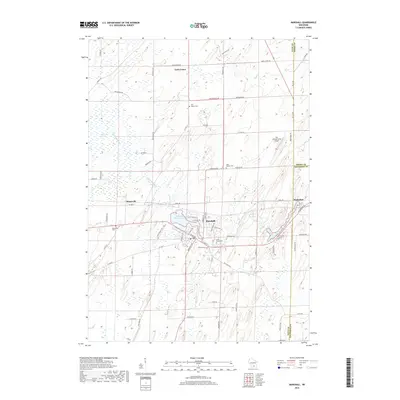 2018 Marshall2018 Print · USGSMarshall and the surrounding Dane County agricultural lands are captured here in the late 2010s. Local researchers can trace family landmarks and rural heritage through sites like York Center Cem, the community of Deansville, and the Maunesha River.
 - 2022 Map of Waterloo, 2022 Print
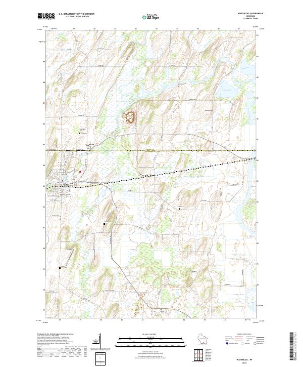 2022 Waterloo2022 Print · USGSWaterloo and Portland sit at the intersection of Dodge and Jefferson Counties during the early twenty-first century. Local historians can trace the positions of several historic burial sites, including Washington Cem, Oak Hill Cem, and the Jordan Cem.
Showing maps 1-25 of 26
Top cities near Waterloo
- Sun Prairie historical maps
- Watertown historical maps
- Fort Atkinson historical maps
- Jefferson historical maps
- Lake Mills historical maps
- Cottage Grove historical maps
See more
Frequently asked questions
- What are the different types of historical maps available for Waterloo?
- What is the oldest map of Waterloo?
- Where can I purchase historical maps of Waterloo for my home or office?
- Where can I download high-res historical maps of Waterloo?
- Are there historical topographic maps available for Waterloo?
- Is there historical aerial imagery available for Waterloo?
- Where are historical maps of Waterloo sourced from?