2000s (21st Century) Maps of Kenosha County, Wisconsin
Explore 36 historic maps of Kenosha County from the 2000s (21st Century). These maps offer a rare glimpse into what life looked like during the 2000s — showing old roads, neighborhoods, homes, and landmarks that have changed or disappeared over time.
Whether you're researching your family's past, planning a metal detecting trip, or studying how Kenosha County's landscape evolved across the 2000s, these high-resolution maps are a powerful tool for exploring the history of this region.
- Focus on a specific era: All maps on this page are from the 2000s, giving you a focused view of this time period.
- See what’s changed: Compare century-old streets, trails, and buildings to today's modern landscape using overlays and satellite layers.
- Research with precision: Use these maps for genealogy, historical research, land use analysis, or educational projects.
- View, download, or print: Maps are fully viewable online in high resolution, and can be downloaded or printed for your own records.
Start exploring Kenosha County's history through authentic maps from the 2000s. This is your window into the past.
Kenosha County, WI maps
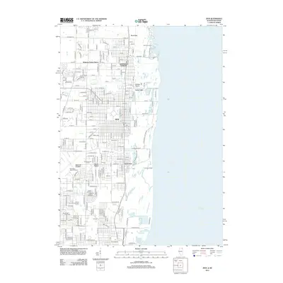
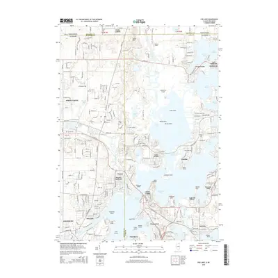
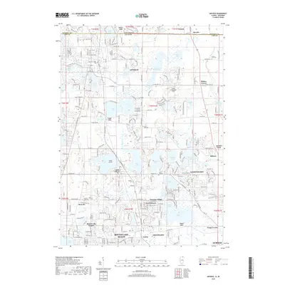
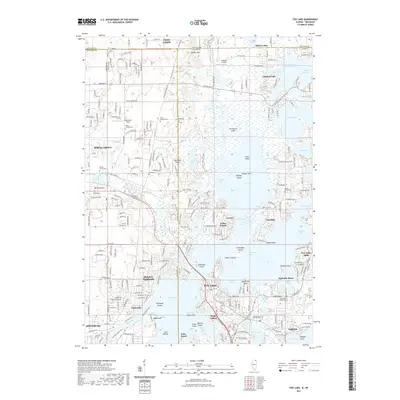
(36)- 2012 Map of Fox Lake, 2012 Print
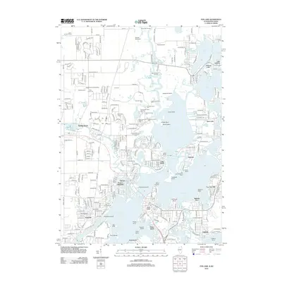 2012 Fox Lake2012 Print · USGSCovers Kenosha County, including Salem Lakes, Antioch, and other nearby areas
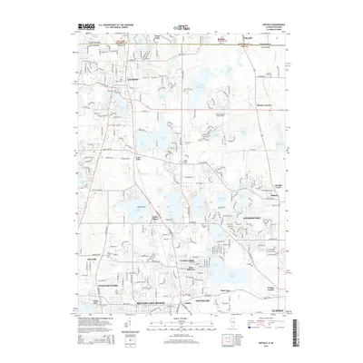
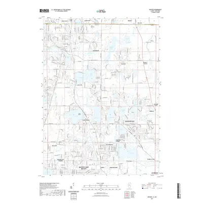
 - 2012 Map of Antioch, 2012 Print
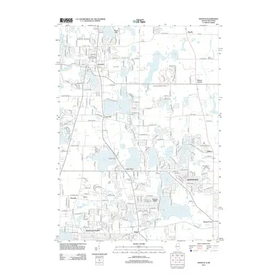 2012 Antioch2012 Print · USGSCovers Kenosha County, including Gurnee, Round Lake Beach, and other nearby areas
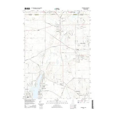
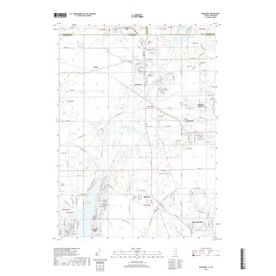
 - 2012 Map of Richmond, 2012 Print
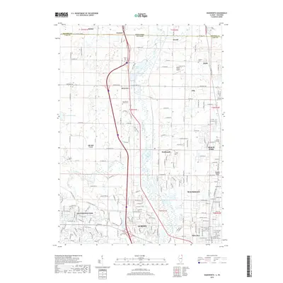
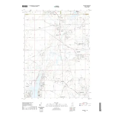
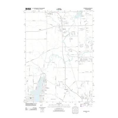 2012 Richmond2012 Print · USGSCovers Kenosha County, including Johnsburg, Spring Grove, and other nearby areas
 - 2012 Map of Wadsworth, 2012 Print
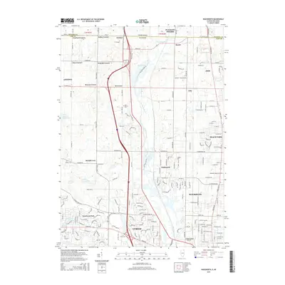
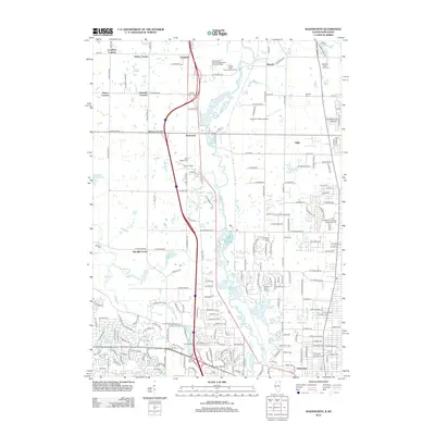 2012 Wadsworth2012 Print · USGSCovers Kenosha County, including Waukegan, Gurnee, and other nearby areas
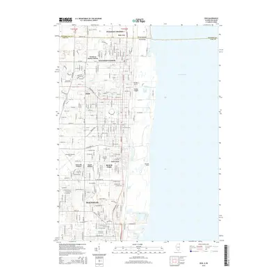
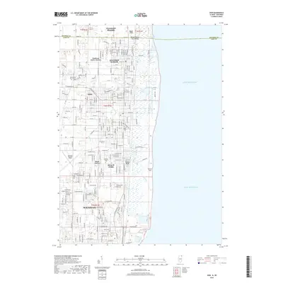
 - 2012 Map of Zion, 2012 Print
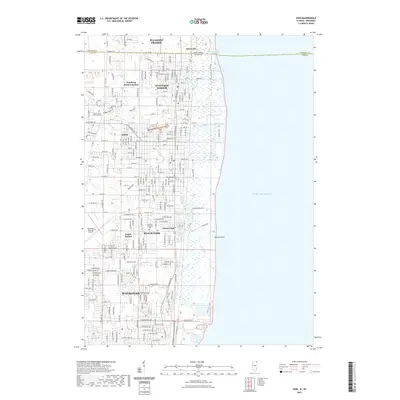
 2012 Zion2012 Print · USGSCovers Kenosha County, including Waukegan, Zion, and other nearby areas
 - 2015 Map of Antioch, 2015 Print
 2015 Antioch2015 Print · USGSCovers Kenosha County, including Gurnee, Round Lake Beach, and other nearby areas
 - 2015 Map of Zion, 2015 Print
 2015 Zion2015 Print · USGSCovers Kenosha County, including Waukegan, Zion, and other nearby areas
 - 2015 Map of Richmond, 2015 Print
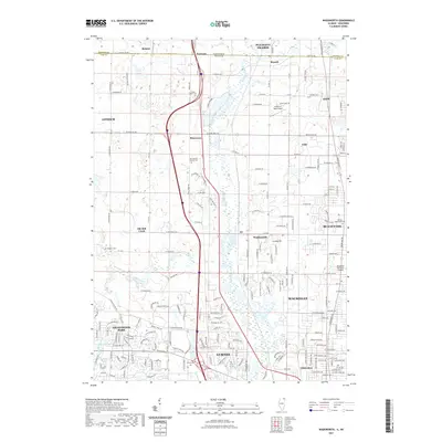
 2015 Richmond2015 Print · USGSCovers Kenosha County, including Johnsburg, Spring Grove, and other nearby areas
 - 2015 Map of Wadsworth, 2015 Print
 2015 Wadsworth2015 Print · USGSCovers Kenosha County, including Waukegan, Gurnee, and other nearby areas
 - 2015 Map of Fox Lake, 2015 Print
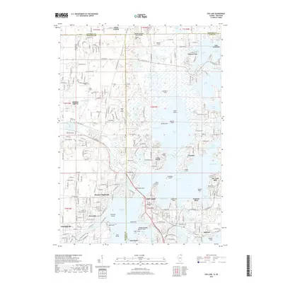
 2015 Fox Lake2015 Print · USGSCovers Kenosha County, including Salem Lakes, Antioch, and other nearby areas
 - 2018 Map of Richmond, 2018 Print
 2018 Richmond2018 Print · USGSCovers Kenosha County, including Johnsburg, Spring Grove, and other nearby areas
 - 2018 Map of Fox Lake, 2018 Print
 2018 Fox Lake2018 Print · USGSCovers Kenosha County, including Salem Lakes, Antioch, and other nearby areas
 - 2018 Map of Antioch, 2018 Print
 2018 Antioch2018 Print · USGSCovers Kenosha County, including Gurnee, Round Lake Beach, and other nearby areas
 - 2018 Map of Zion, 2018 Print
 2018 Zion2018 Print · USGSCovers Kenosha County, including Waukegan, Zion, and other nearby areas
 - 2018 Map of Wadsworth, 2018 Print
 2018 Wadsworth2018 Print · USGSCovers Kenosha County, including Waukegan, Gurnee, and other nearby areas
 - 2021 Map of Wadsworth, 2021 Print
 2021 Wadsworth2021 Print · USGSCovers Kenosha County, including Waukegan, Gurnee, and other nearby areas
 - 2021 Map of Fox Lake, 2021 Print
 2021 Fox Lake2021 Print · USGSCovers Kenosha County, including Salem Lakes, Antioch, and other nearby areas
 - 2021 Map of Richmond, 2021 Print
 2021 Richmond2021 Print · USGSCovers Kenosha County, including Johnsburg, Spring Grove, and other nearby areas
 - 2021 Map of Antioch, 2021 Print
 2021 Antioch2021 Print · USGSCovers Kenosha County, including Gurnee, Round Lake Beach, and other nearby areas
 - 2021 Map of Zion, 2021 Print
 2021 Zion2021 Print · USGSCovers Kenosha County, including Waukegan, Zion, and other nearby areas
 - 2022 Map of Kenosha, 2022 Print
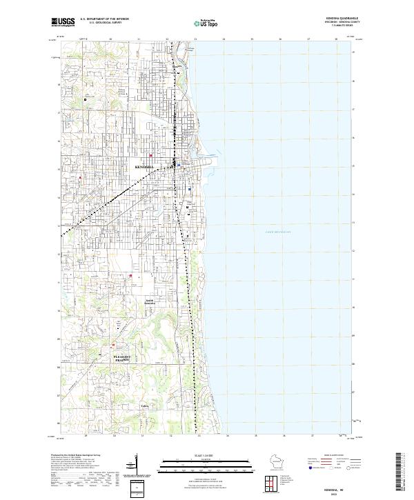 2022 Kenosha2022 Print · USGSKenosha and the surrounding lakefront townships are captured in detail as they appeared in the early 2020s. Researchers can trace ancestral plots at Saint George Cem or explore the institutional layouts of Carthage College and Pleasant Prairie.
 - 2022 Map of Sturtevant, 2022 Print
 2022 Sturtevant2022 Print · USGSSoutheast Wisconsin's transition from farmland to industrial hub is evident here in the early twenty-first century. Genealogists and local researchers can trace cemetery records at West Lawn Memorial Cem or locate the historic center of Sturtevant and the Sylvania Airport.
 - 2022 Map of Pleasant Prairie, 2022 Print
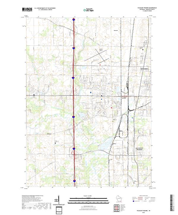 2022 Pleasant Prairie2022 Print · USGSPleasant Prairie and the outskirts of Kenosha are shown here in the early twenty-first century as suburban development integrates with traditional wetlands. Researchers can trace family history at Sunset Ridge Memorial Park Cem or locate the old crossroads of Truesdell and Bristol.
 - 2022 Map of Racine South, 2022 Print
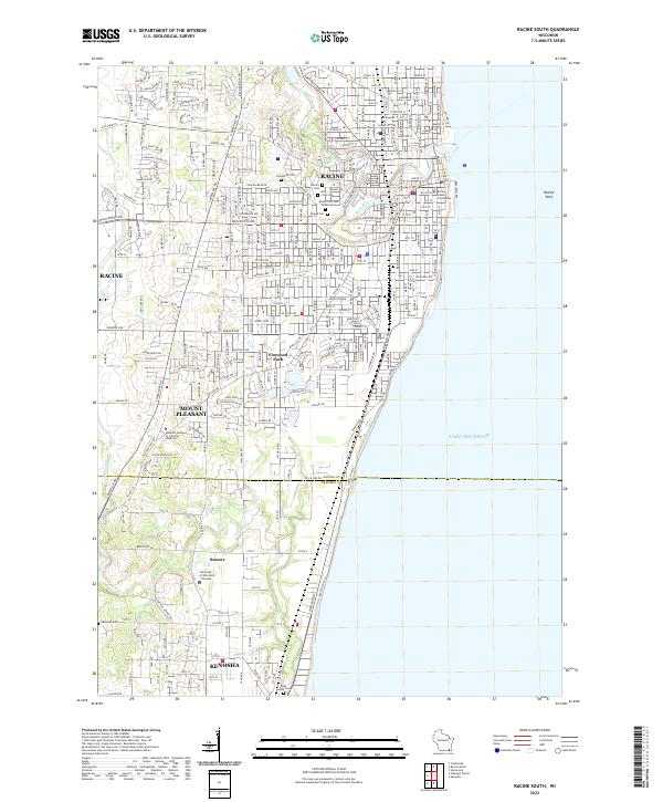 2022 Racine South2022 Print · USGSWisconsin's lakefront between Racine and Kenosha is captured here during a period of modern civic maturity. Genealogists and historians can trace the grounds of the Mound City Cem Soldiers Lot or the campus of the University of Wisconsin - Parkside.
 - 2022 Map of Union Grove, 2022 Print
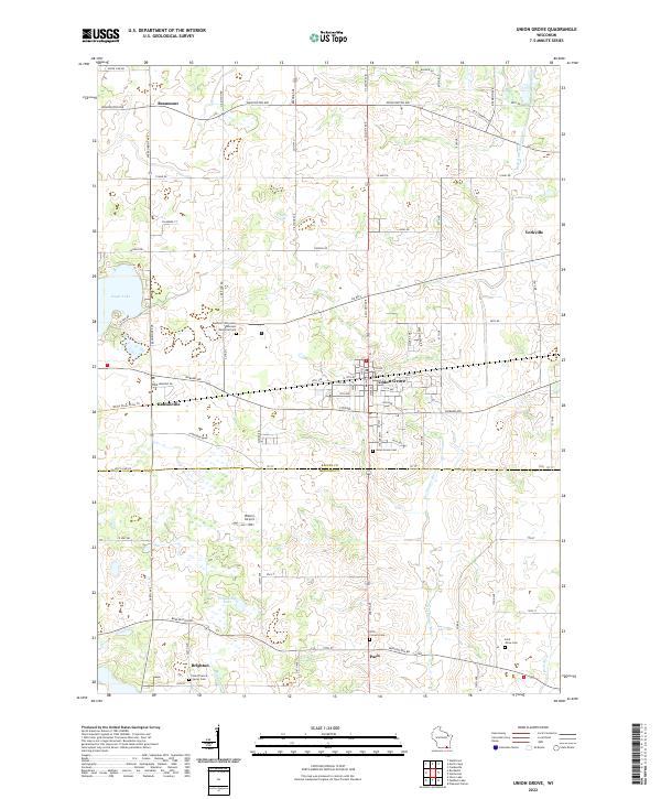 2022 Union Grove2022 Print · USGSSoutheast Wisconsin's rolling prairie and agricultural heartland are detailed here in the early twenty-first century. Genealogists can trace family footprints at Southern Wisconsin Veterans Memorial Cem or locate the rural Saint Johns Cem near Paris.
Showing maps 1-25 of 36
Top cities of Kenosha County
- Kenosha historical maps
- Pleasant Prairie historical maps
- Salem Lakes historical maps
- Somers historical maps
- Twin Lakes historical maps
- Bristol historical maps
See more
Frequently asked questions
- What are the different types of historical maps available for Kenosha County?
- What is the oldest map of Kenosha County?
- Where can I purchase historical maps of Kenosha County for my home or office?
- Where can I download high-res historical maps of Kenosha County?
- Are there historical topographic maps available for Kenosha County?
- Is there historical aerial imagery available for Kenosha County?
- Where are historical maps of Kenosha County sourced from?