Old Maps of Lincoln, Wisconsin for Hiking & Exploration
Hike through history with 28 historic maps of Lincoln. Explore old trails, ghost towns, and forgotten backroads — perfect for outdoor adventurers and local explorers.
- Rediscover forgotten places: Map out old mining camps, roads, and footpaths that no longer exist on modern maps.
- Layer with modern tools: Combine with LiDAR or satellite views to plan hikes through historical terrain.
- Made for exploration: Popular among hikers, overlanders, and local history lovers.
Use these maps to find adventure and explore the hidden past of Lincoln.
Lincoln, WI maps
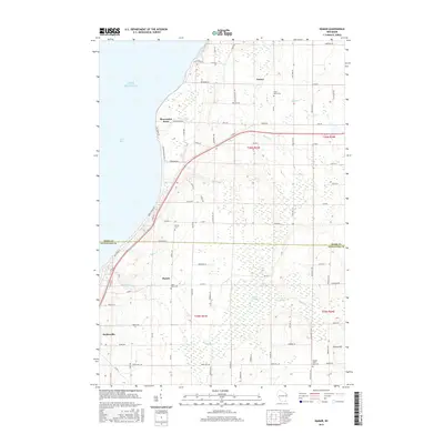
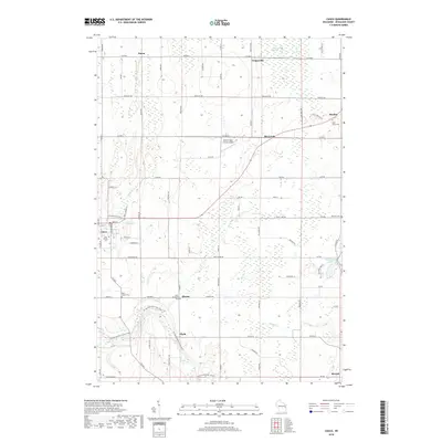
(28)- 1952 Map of Casco, 1954 Print
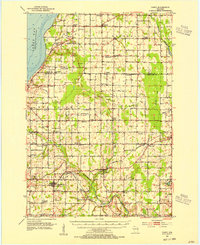 1952 Casco1954 Print · USGSWisconsin's Door Peninsula hinterlands come to life in the early 1950s, showing a landscape of small dairy towns and local rail lines. Genealogists can trace family roots through numerous country parishes and burial sites like St Marys Cem, Holy Trinity Cem, and the rural Luxemburg area.2 unique versions available
 - 1954 Map of Manitowoc, 1968 Print
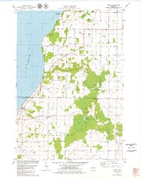
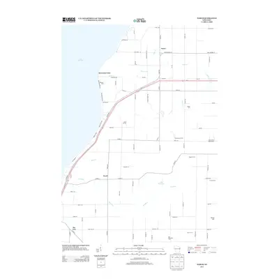
 1954 Manitowoc1968 Print · USGSLake Michigan served as a vital transit corridor in the mid-fifties, with car and auto ferries linking the industrial ports of Wisconsin to the Michigan timberlands. Genealogists and maritime historians can trace active ferry routes like the Ann Arbor Railway Car and Auto Ferry and locate early settlements from Brussels to Algoma.2 unique versions available
 - 1958 Map of Manitowoc
 1958 Manitowoc1958 Print · USGSLake Michigan and its shorelines are shown in the late fifties when maritime transport defined the region. Researchers can trace the routes of the Ann Arbor Railroad Ferry or locate old settlements like St. Nazianz, Rostock, and Two Creeks.
 - 1978 Map of Casco, 1979 Print
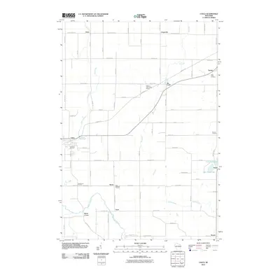
 1978 Casco1979 Print · USGSKewaunee County's rural townships and rail-connected villages are captured here in the late seventies. Researchers can trace family history through several sites like St Johns Cem, the settlement of Slovan, and the Ahnapee and Western rail line.
 - 1978 Map of Namur, 1979 Print
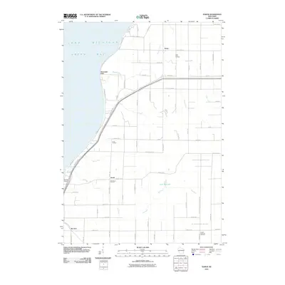
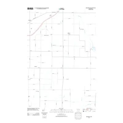
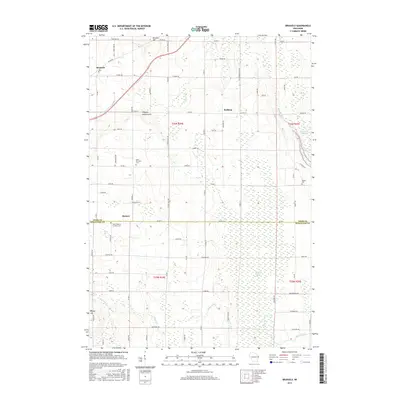
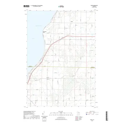
 1978 Namur1979 Print · USGSDoor County's Belgian settlement corridor is captured here in the late seventies as rural life clustered around old parishes and the bay shore. Genealogists can locate family landmarks like St Marys Cem, the community of Duvall, and Gospel Truth Hall.2 unique versions available
 - 1978 Map of Luxemburg, 1979 Print
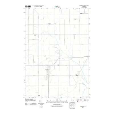
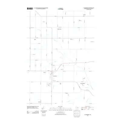
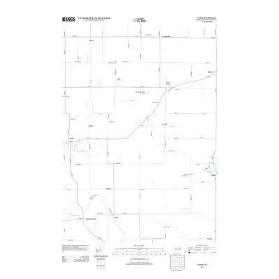
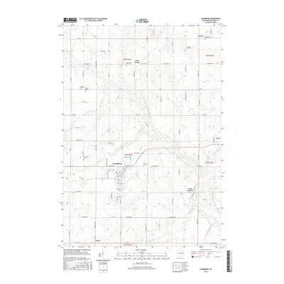
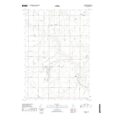
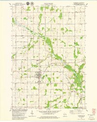 1978 Luxemburg1979 Print · USGSWisconsin's Kewaunee County dairy lands are captured here in the late seventies, centered on the village of Luxemburg. Genealogists and historians can locate several rural parishes and cemeteries like Lincoln Chapel, St Marys Cem, and Spiritualist Cem along the Green Bay and Western line.
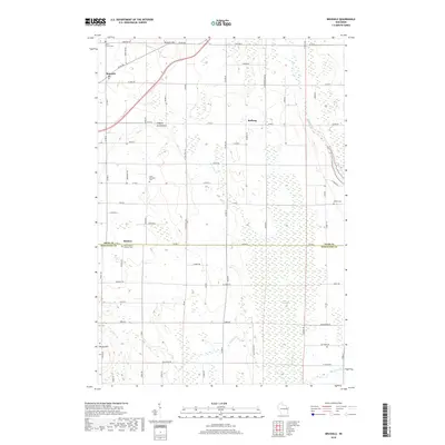
 - 1978 Map of Brussels, 1979 Print
 1978 Brussels1979 Print · USGSThe Door Peninsula landscape appears here in the late seventies, showing the transition from the high ridges of the Niagara Escarpment to the eastern lowlands. Researchers can locate family landmarks like St Francis Ch and St Michaels Cem or trace the early Ahnapee State Trail.
 - 1984 Map of Sturgeon Bay, 1985 Print
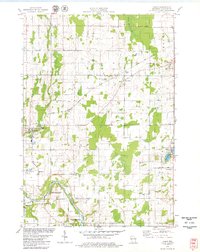
 1984 Sturgeon Bay1985 Print · USGSDoor Peninsula and the Kewaunee coast are documented here in the mid-eighties, showing the deep-water harbor at Sturgeon Bay and the rural agricultural interior. Genealogists can trace family roots through crossroads towns like Kolberg, Duvall, and Sugar Bush.2 unique versions available
 - 2010 Map of Brussels, 2010 Print
 2010 Brussels2010 Print · USGSCovers Lincoln, including Brussels, Forestville, and other nearby areas
 - 2010 Map of Luxemburg, 2010 Print
 2010 Luxemburg2010 Print · USGSCovers Lincoln, including Luxemburg, Casco, and other nearby areas
 - 2010 Map of Casco, 2010 Print
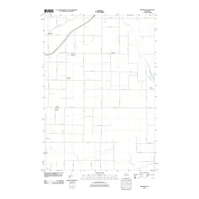
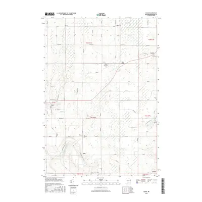
 2010 Casco2010 Print · USGSCovers Lincoln, including Casco, Alaska, and other nearby areas
 - 2010 Map of Namur, 2010 Print
 2010 Namur2010 Print · USGSCovers Lincoln, including Brussels, Bay View, and other nearby areas
 - 2013 Map of Luxemburg, 2013 Print
 2013 Luxemburg2013 Print · USGSCovers Lincoln, including Luxemburg, Casco, and other nearby areas
 - 2013 Map of Brussels, 2013 Print
 2013 Brussels2013 Print · USGSCovers Lincoln, including Brussels, Forestville, and other nearby areas
 - 2013 Map of Namur, 2013 Print
 2013 Namur2013 Print · USGSCovers Lincoln, including Brussels, Bay View, and other nearby areas
 - 2013 Map of Casco, 2013 Print
 2013 Casco2013 Print · USGSCovers Lincoln, including Casco, Alaska, and other nearby areas
 - 2015 Map of Namur, 2015 Print
 2015 Namur2015 Print · USGSCovers Lincoln, including Brussels, Bay View, and other nearby areas
 - 2015 Map of Casco, 2015 Print
 2015 Casco2015 Print · USGSCovers Lincoln, including Casco, Alaska, and other nearby areas
 - 2015 Map of Luxemburg, 2015 Print
 2015 Luxemburg2015 Print · USGSCovers Lincoln, including Luxemburg, Casco, and other nearby areas
 - 2015 Map of Brussels, 2015 Print
 2015 Brussels2015 Print · USGSCovers Lincoln, including Brussels, Forestville, and other nearby areas
 - 2018 Map of Casco, 2018 Print
 2018 Casco2018 Print · USGSCovers Lincoln, including Casco, Alaska, and other nearby areas
 - 2018 Map of Brussels, 2018 Print
 2018 Brussels2018 Print · USGSCovers Lincoln, including Brussels, Forestville, and other nearby areas
 - 2018 Map of Luxemburg, 2018 Print
 2018 Luxemburg2018 Print · USGSCovers Lincoln, including Luxemburg, Casco, and other nearby areas
 - 2018 Map of Namur, 2018 Print
 2018 Namur2018 Print · USGSCovers Lincoln, including Brussels, Bay View, and other nearby areas
 - 2022 Map of Brussels, 2022 Print
 2022 Brussels2022 Print · USGSThe Door Peninsula's unique topography and rural settlements are documented here in the early twenty-first century. Genealogists and historians can trace family locations through sites like Saint Huberts Catholic Cem and the villages of Brussels and Kolberg.
Showing maps 1-25 of 28
Top cities near Lincoln
- Sturgeon Bay historical maps
- Algoma historical maps
- Kewaunee historical maps
- Luxemburg historical maps
- Humboldt historical maps
- Brussels historical maps
See more
Top neighborhoods of Lincoln
Frequently asked questions
- What are the different types of historical maps available for Lincoln?
- What is the oldest map of Lincoln?
- Where can I purchase historical maps of Lincoln for my home or office?
- Where can I download high-res historical maps of Lincoln?
- Are there historical topographic maps available for Lincoln?
- Is there historical aerial imagery available for Lincoln?
- Where are historical maps of Lincoln sourced from?