Old Maps of Hamilton, Wisconsin for Academic Research
Study the evolution of Hamilton with 37 high-resolution historic maps. Whether you're teaching, researching, or modeling changes in land use, these maps provide essential visual documentation of urban, environmental, and geographic change.
- Analyze long-term change: Track patterns in development, transportation, and natural features.
- Ideal for environmental or urban studies: Support academic projects with primary historical map data.
- Use in the classroom or lab: Educators and researchers rely on these maps to bring historical context to life.
These maps are a powerful tool for teaching, research, and visualizing how Hamilton has changed over the decades.
Hamilton, WI maps
(37)- 1927 Map of La Crosse, 1960 Print
 1927 La Crosse1960 Print · USGSLa Crosse and the Mississippi riverfront are captured in the 1920s as rail transit reached its peak. Genealogists can trace family names across dozens of rural school districts like Adams Valley Sch or locate landmarks such as Grand Dad Bluff and the County Asylum.
 - 1930 Map of La Crosse
 1930 La Crosse1930 Print · USGSThe riverfront and blufflands of western Wisconsin are captured here as the Great Depression began, showing a landscape defined by rail transit and coulee farming. Researchers can find numerous rural landmarks, from the County Asylum to small district sites like Maple Shade Sch and Barre Mills.3 unique versions available
 - 1958 Map of La Crosse, 1979 Print
 1958 La Crosse1979 Print · USGSThe Driftless Area of Wisconsin and Iowa is captured here during the late seventies, showing the intricate river valleys and ridge-top settlements. Genealogists and historians can trace the rail corridors of the Soo Line or locate landmarks like Grandad Bluff and Effigy Mounds National Monument.2 unique versions available
 - 1961 Map of La Crosse
 1961 La Crosse1961 Print · USGSThe Driftless Area at the start of the 1960s reveals a complex network of river towns and rail lines along the Mississippi River. Genealogists and historians can trace old settlements like New Amsterdam and Wyattville or locate major landmarks like Camp McCoy Military Reservation and Effigy Mounds National Monument.
 - 1963 Map of Onalaska, 1964 Print
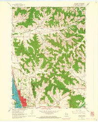 1963 Onalaska1964 Print · USGSOnalaska and the Black River bottoms are captured here in the early sixties, showing the transition from river life to the upland coulee country. Researchers can trace rural school locations like Halfway Sch, family-named landmarks like Jostad Coulee, and local sites such as the Halfway Creek Cem.2 unique versions available
 - 1963 Map of St. Joseph, 1964 Print
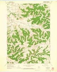 1963 St. Joseph1964 Print · USGSLa Crosse County's ridge-and-valley landscape is documented here in the early sixties, showing the rural townships before modern expansion. Researchers can find many family-era landmarks, from the St Johns Cem and Barre Mills to schools like Sunny Mede Sch.2 unique versions available
 - 1963 Map of La Crosse, 1964 Print
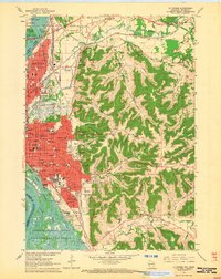 1963 La Crosse1964 Print · USGSLa Crosse is shown here in the early sixties as a bustling rail and river hub transitioning into a modern collegiate and medical center. Researchers can trace the layout of the city's many schools and hospitals, such as Aquinas High Sch and St Francis Hospital, or find family plots in the Catholic Cem.2 unique versions available
 - 1963 Map of West Salem, 1964 Print
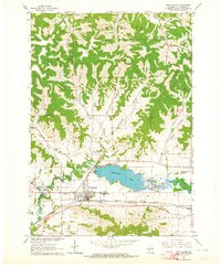 1963 West Salem1964 Print · USGSWest Salem and the surrounding coulee country are captured here in the early sixties as the modern interstate era begins to reshape the valley. Genealogists and local historians can trace rural landmarks from Bell Coulee Ch to the Neshonoc Cem and the busy rail corridors of the Bangor area.2 unique versions available
 - 1963 Map of La Crosse, 1965 Print
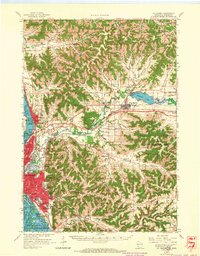 1963 La Crosse1965 Print · USGSLa Crosse and the Mississippi River bluffs are captured here in the early sixties, showing the complex interplay of rail lines and river commerce. Genealogists and local historians can trace small rural schools like Halfway Creek Sch and landmarks such as Granddad Bluff or the Holy Cross Seminary.3 unique versions available
 - 1965 Map of La Crosse
 1965 La Crosse1965 Print · USGSThe Driftless Area and the Upper Mississippi valley are captured here during a period of steady mid-century growth. Researchers can trace the rail lines of the Chicago and North Western or locate riverfront sites like Effigy Mounds National Monument and the Camp McCoy Military Reservation.
 - 1976 Map of La Crosse
 1976 La Crosse1976 Print · USGSThe Driftless Area and Mississippi River valley are captured here in the mid-seventies, showing a landscape of deep coulees and river commerce. Genealogists can trace family footprints from La Crosse to smaller hamlets like Newburg Corners and Witoka.
 - 1984 Map of La Crosse, 1985 Print
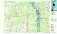 1984 La Crosse1985 Print · USGSThe Driftless Area of the upper Mississippi valley appears here in the mid-eighties, showing the tri-state intersections of Wisconsin, Minnesota, and Iowa. Genealogists and local historians can trace family-named landmarks such as Peacock Ridge or Prosch Coulee and locate rural landmarks like St Marys Ch.
 - 1990 Map of La Crosse, 1991 Print
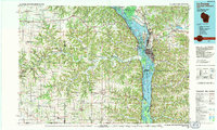 1990 La Crosse1991 Print · USGSThe tri-state river valley at the end of the twentieth century shows a landscape defined by the Mississippi River and heavy rail. Trace the paths of the Soo Line and Burlington Northern through river towns like Brownsville and La Crescent.
 - 1993 Map of Onalaska
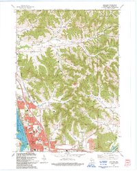 1993 Onalaska1993 Print · USGSThe Coulee Region in the early nineties reveals a landscape where the growing city of Onalaska meets the waters of the Mississippi. Local historians can trace family-named landmarks like Jostad Coulee or Kinney Coulee and locate the Halfway Creek Cem.
 - 1993 Map of La Crosse
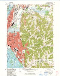 1993 La Crosse1993 Print · USGSLa Crosse at the turn of the 1990s shows a bustling river city caught between the bluffs and the Mississippi. Researchers can trace local genealogy at Oak Grove Cemetery or locate neighborhood landmarks like St Francis Hospital and Viterbo College.
 - 1993 Map of West Salem
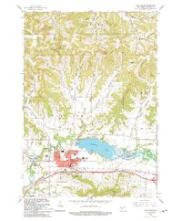 1993 West Salem1993 Print · USGSThe La Crosse River valley and the village of West Salem are shown here in the early nineties, during a period of established growth and lakefront activity. Researchers can locate family landmarks like Bell Coulee Ch and trace the many valleys from Scotch Coulee to Burns Corners.
 - 1998 Map of La Crosse, 2001 Print
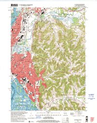 1998 La Crosse2001 Print · USGSLa Crosse at the close of the twentieth century remains a vibrant river city bounded by the Mississippi and its dramatic eastern bluffs. Researchers can trace family history through sites like Oak Grove Cemetery, the neighborhood surrounding Logan High Sch, and the ridge settlement of St Joseph.
 - 2010 Map of Onalaska, 2010 Print
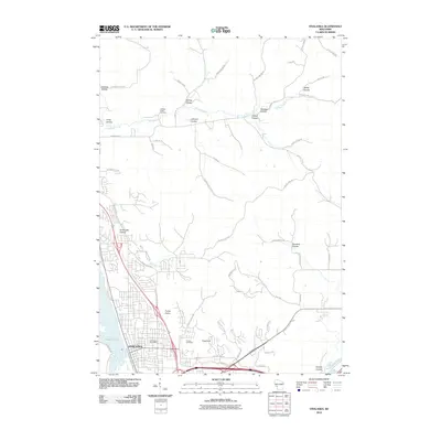 2010 Onalaska2010 Print · USGSOnalaska and its surrounding driftless-area coulees are captured in this detailed 2010 survey as the community expanded into the bluffs. Genealogists and hikers can trace landmarks like the Halfway Creek Cemetery, Camel Hump, and Sugarloaf.
 - 2010 Map of Saint Joseph, 2010 Print
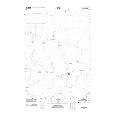 2010 Saint Joseph2010 Print · USGSThe coulee country of La Crosse County is captured here in the early twenty-first century, showcasing a landscape of high ridges and deep valley farms. Genealogists and local historians can trace family-named landmarks like Tollefson Coulee, Saint Johns Cemetery, and the community of Barre Mills.
 - 2010 Map of West Salem, 2010 Print
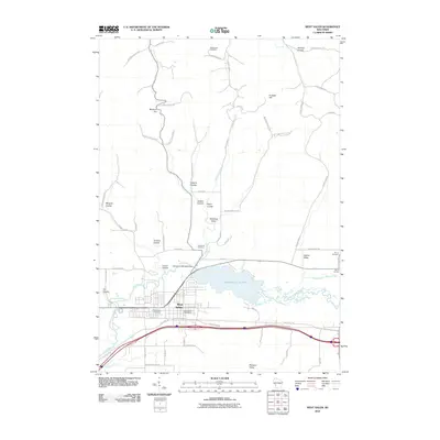 2010 West Salem2010 Print · USGSWest Salem and the surrounding coulees are shown here at the turn of the millennium, centered on the waters of the La Crosse River. Genealogists can locate family landmarks such as Hamilton Cemetery, Wet Coulee Cemetery, and the old West Salem Post Office.
 - 2010 Map of La Crosse, 2010 Print
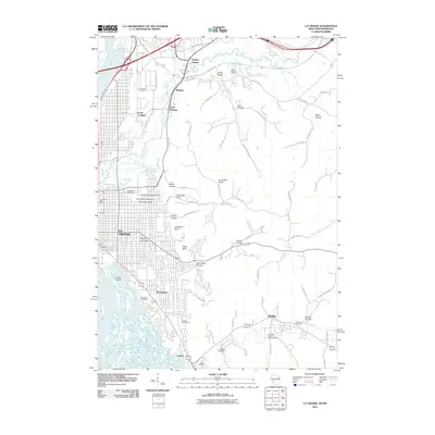 2010 La Crosse2010 Print · USGSLa Crosse and the Mississippi River bluffs are captured here during a period of modern growth and geographic preservation. Researchers can trace local history through features like the University of Wisconsin, Granddad Bluff, and the Goosetown Monument.
 - 2013 Map of Saint Joseph, 2013 Print
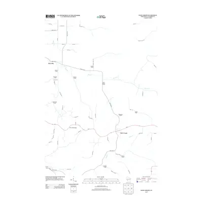 2013 Saint Joseph2013 Print · USGSLa Crosse County's ridge-and-valley landscape is documented here in the early twenty-first century as rural communities remain centered on high ground. Researchers can trace the unique topography of Garbers Coulee, Saint Joseph Ridge, and the winding path of Mormon Cr.
 - 2013 Map of La Crosse, 2013 Print
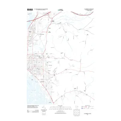 2013 La Crosse2013 Print · USGSThe riverfront of La Crosse and its distinctive bluffs are meticulously detailed in this early 2010s survey. Researchers can trace the city’s expansion from Grand Crossing to Shelby, locating neighborhood landmarks like the Goosetown Monument and Green Island.
 - 2013 Map of West Salem, 2013 Print
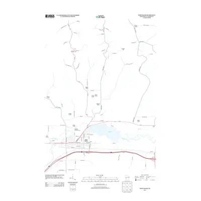 2013 West Salem2013 Print · USGSWest Salem and the surrounding coulee country are shown here in the early twenty-first century as the village expanded near the La Crosse River. Genealogists and local historians can trace family land across named features like Mindoro Cut, Adams Valley, and Burns Corners.
 - 2013 Map of Onalaska, 2013 Print
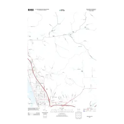 2013 Onalaska2013 Print · USGSThe coulee country of La Crosse County is captured here in the early 21st century as suburban neighborhoods meet traditional Wisconsin orchards. Map collectors and local historians can trace family land across Shefelbine Orchard or follow the waters of Halfway Cr through Sweden Coulee.
Showing maps 1-25 of 37
Top cities near Hamilton
- La Crosse historical maps
- Onalaska historical maps
- Holmen historical maps
- Sparta historical maps
- West Salem historical maps
- La Crescent historical maps
See more
Frequently asked questions
- What are the different types of historical maps available for Hamilton?
- What is the oldest map of Hamilton?
- Where can I purchase historical maps of Hamilton for my home or office?
- Where can I download high-res historical maps of Hamilton?
- Are there historical topographic maps available for Hamilton?
- Is there historical aerial imagery available for Hamilton?
- Where are historical maps of Hamilton sourced from?