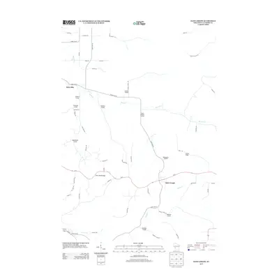
2013 Map of Saint Joseph
USGS Topo · Published 2013About this map
Saint Joseph Ridge and the neighboring community of Saint Joseph occupy a prominent position along Wi-33 in this La Crosse County landscape. The area is defined by its dramatic relief, characterized by a complex network of coulees—narrow, steep-walled valleys typical of the region's unglaciated driftless terrain. Notable valleys such as Garbers Coulee, Russian Coulee, and Tollefson Coulee drain toward Bostwick Cr, while the southern portion of the map is shaped by Mormon Cr and its tributaries like Kammel Coulee. The road network, including Stone Quarry Rd and County Hwy-M, follows the winding topography of these ridges and hollows. This 2013 survey illustrates the enduring rural settlement patterns of Hamilton and the surrounding area, where many landmarks such as Cattail Ridge and Moonshine Hollow reflect long-standing local nomenclature tied to the unique geography of the ridge-and-valley system.
Find a feature on this map
54 named features on this map. Tap any name to fly to it.
Don’t see what you’re looking for? This feature index may not catch every label — zoom into the map to look around manually.
Map Details
Editions of this 2013 Saint Joseph Map
This is the sole edition of this map. No revisions or reprints were ever made.
Other maps of this area

1909 · Sparta
USGS Topo · 1:62,500

1923 · Viroqua
USGS Topo · 1:62,500

1926 · Stoddard
USGS Topo · 1:62,500

1926 · Viroqua
USGS Topo · 1:62,500

1927 · La Crosse
USGS Topo · 1:62,500

1930 · La Crosse
USGS Topo · 1:62,500

1947 · Sparta
USGS Topo · 1:62,500

1949 · Sparta
USGS Topo · 1:62,500

1958 · La Crosse
USGS Topo · 1:250,000

1961 · La Crosse
USGS Topo · 1:250,000