Old Maps of Holland, Wisconsin for Academic Research
Study the evolution of Holland with 49 high-resolution historic maps. Whether you're teaching, researching, or modeling changes in land use, these maps provide essential visual documentation of urban, environmental, and geographic change.
- Analyze long-term change: Track patterns in development, transportation, and natural features.
- Ideal for environmental or urban studies: Support academic projects with primary historical map data.
- Use in the classroom or lab: Educators and researchers rely on these maps to bring historical context to life.
These maps are a powerful tool for teaching, research, and visualizing how Holland has changed over the decades.
Holland, WI maps
(49)- 1926 Map of North Bend, 1965 Print
 1926 North Bend1965 Print · USGSJackson and La Crosse counties are shown here in the mid-twenties, when the Black River valley was dotted with small family farms and dozens of rural school districts. Genealogists can trace ancestral locations near Stevenstown, Mindoro, and Upper Beaver Creek Ch.
 - 1927 Map of La Crosse, 1960 Print
 1927 La Crosse1960 Print · USGSLa Crosse and the Mississippi riverfront are captured in the 1920s as rail transit reached its peak. Genealogists can trace family names across dozens of rural school districts like Adams Valley Sch or locate landmarks such as Grand Dad Bluff and the County Asylum.
 - 1929 Map of Galesville
 1929 Galesville1929 Print · USGSWisconsin's coulee country and the Mississippi riverfront are captured here in the mid-twenties, showing a landscape of bluff-top farms and river towns. Genealogists can locate family landmarks like Butman Corners, Norway Valley Ch, and numerous rural schools including Wayside Sch.2 unique versions available
 - 1929 Map of North Bend
 1929 North Bend1929 Print · USGSWisconsin's coulee country comes alive in this late 1920s survey of the tri-county borderlands along the Black River. Genealogists and local historians can trace family-named landmarks and rural hubs like Beachs Corners, Burr Oak, and the many one-room schoolhouses like Lone Star Sch.2 unique versions available
 - 1930 Map of La Crescent
 1930 La Crescent1930 Print · USGSAs the Mississippi and Black Rivers met in the late twenties, this survey captured a world of river-bottom sloughs and busy rail junctions. Genealogists can trace early homesteads and schools like Oak Grove Sch, while exploring the vanished river paths of Bullet Chute and New Amsterdam.3 unique versions available
 - 1930 Map of La Crosse
 1930 La Crosse1930 Print · USGSThe riverfront and blufflands of western Wisconsin are captured here as the Great Depression began, showing a landscape defined by rail transit and coulee farming. Researchers can find numerous rural landmarks, from the County Asylum to small district sites like Maple Shade Sch and Barre Mills.3 unique versions available
 - 1953 Map of Eau Claire, 1965 Print
 1953 Eau Claire1965 Print · USGSWest-central Wisconsin in the mid-fifties shows a landscape of river-valley industry and vast wildlife refuges during the transition from rails to modern highways. Genealogists and historians can trace the rail corridors of the Chicago and North Western or locate family-named landmarks like Decorah Mound and Chippewa Island.4 unique versions available
 - 1956 Map of La Crescent, 1958 Print
 1956 La Crescent1958 Print · USGSThe Mississippi River borderlands thrive in the mid-fifties, showing the transition from the high ridges of Houston and Winona counties to the Wisconsin prairie. Genealogists can trace family names across South Ridge Ch, Loretta Sch, and cemeteries like Crucifixion Cem.2 unique versions available
 - 1958 Map of Eau Claire
 1958 Eau Claire1958 Print · USGSWestern Wisconsin in the late fifties shows a landscape of growing regional hubs and massive wildlife refuges. Trace the rail lines of the Chicago and North Western between Eau Claire and Marshfield, or explore the terrain around Iron Mound and Lake Wissota.
 - 1958 Map of La Crosse, 1979 Print
 1958 La Crosse1979 Print · USGSThe Driftless Area of Wisconsin and Iowa is captured here during the late seventies, showing the intricate river valleys and ridge-top settlements. Genealogists and historians can trace the rail corridors of the Soo Line or locate landmarks like Grandad Bluff and Effigy Mounds National Monument.2 unique versions available
 - 1961 Map of La Crosse
 1961 La Crosse1961 Print · USGSThe Driftless Area at the start of the 1960s reveals a complex network of river towns and rail lines along the Mississippi River. Genealogists and historians can trace old settlements like New Amsterdam and Wyattville or locate major landmarks like Camp McCoy Military Reservation and Effigy Mounds National Monument.
 - 1963 Map of Onalaska, 1964 Print
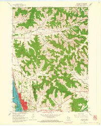 1963 Onalaska1964 Print · USGSOnalaska and the Black River bottoms are captured here in the early sixties, showing the transition from river life to the upland coulee country. Researchers can trace rural school locations like Halfway Sch, family-named landmarks like Jostad Coulee, and local sites such as the Halfway Creek Cem.2 unique versions available
 - 1963 Map of La Crosse, 1965 Print
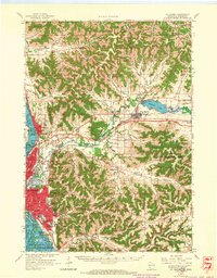 1963 La Crosse1965 Print · USGSLa Crosse and the Mississippi River bluffs are captured here in the early sixties, showing the complex interplay of rail lines and river commerce. Genealogists and local historians can trace small rural schools like Halfway Creek Sch and landmarks such as Granddad Bluff or the Holy Cross Seminary.3 unique versions available
 - 1964 Map of Eau Claire
 1964 Eau Claire1964 Print · USGSWest-central Wisconsin in the mid-1960s was a hub of river-driven industry and expanding rail networks. Researchers can trace historic homesteads near Menomonie, follow the Soo Line RR through Marshfield, or explore the grounds of the Camp McCoy Military Reservation.
 - 1965 Map of La Crosse
 1965 La Crosse1965 Print · USGSThe Driftless Area and the Upper Mississippi valley are captured here during a period of steady mid-century growth. Researchers can trace the rail lines of the Chicago and North Western or locate riverfront sites like Effigy Mounds National Monument and the Camp McCoy Military Reservation.
 - 1969 Map of Stevenstown, 1971 Print
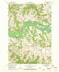 1969 Stevenstown1971 Print · USGSThe Black River valley during the late sixties serves as a crossroads of family history and conservation in rural Wisconsin. Genealogists can trace lineage through Hardies Cemetery or Sacia Cemetery, while outdoorsmen can locate the State Game Refuge and Horseshoe Lake.2 unique versions available
 - 1973 Map of Galesville, 1975 Print
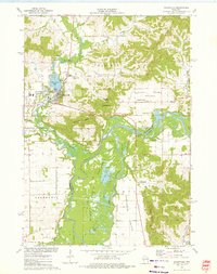 1973 Galesville1975 Print · USGSGalesville and the winding Black River corridor are captured here during the early 1970s. Researchers can trace family roots through the Decorah Prairie Cem, locate old junctions like Butman Corners, and explore the wetlands of the Van Loon State Wildlife Area.
 - 1973 Map of Pickwick, 1975 Print
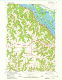 1973 Pickwick1975 Print · USGSThe Mississippi River bluffs and valleys of Winona County are captured here in the mid-1970s. Genealogists and local historians can trace family locations from Pickwick and Dakota to rural sites like Wilson Cemetery and New Hartford.2 unique versions available
 - 1973 Map of Holmen, 1976 Print
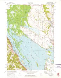 1973 Holmen1976 Print · USGSThe Upper Mississippi riverfront and its wide prairie terraces are documented here in the early 1970s. Researchers can locate family landmarks like Oak Grove Sch and Green Mound Cem, or trace the rail lines through Midway and Dresbach.
 - 1976 Map of La Crosse
 1976 La Crosse1976 Print · USGSThe Driftless Area and Mississippi River valley are captured here in the mid-seventies, showing a landscape of deep coulees and river commerce. Genealogists can trace family footprints from La Crosse to smaller hamlets like Newburg Corners and Witoka.
 - 1984 Map of La Crosse, 1985 Print
 1984 La Crosse1985 Print · USGSThe Driftless Area of the upper Mississippi valley appears here in the mid-eighties, showing the tri-state intersections of Wisconsin, Minnesota, and Iowa. Genealogists and local historians can trace family-named landmarks such as Peacock Ridge or Prosch Coulee and locate rural landmarks like St Marys Ch.
 - 1985 Map of Winona
 1985 Winona1985 Print · USGSThe Mississippi River valley and the coulees of the Driftless Area are shown here in the mid-1980s as the river's lock-and-dam system was well-established. Researchers can trace the riverfront at Winona, explore the bluffs near Galesville, or locate landmarks like Sugarloaf and Merrick State Park.2 unique versions available
 - 1990 Map of La Crosse, 1991 Print
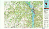 1990 La Crosse1991 Print · USGSThe tri-state river valley at the end of the twentieth century shows a landscape defined by the Mississippi River and heavy rail. Trace the paths of the Soo Line and Burlington Northern through river towns like Brownsville and La Crescent.
 - 1993 Map of Onalaska
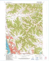 1993 Onalaska1993 Print · USGSThe Coulee Region in the early nineties reveals a landscape where the growing city of Onalaska meets the waters of the Mississippi. Local historians can trace family-named landmarks like Jostad Coulee or Kinney Coulee and locate the Halfway Creek Cem.
 - 2010 Map of Onalaska, 2010 Print
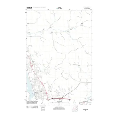 2010 Onalaska2010 Print · USGSOnalaska and its surrounding driftless-area coulees are captured in this detailed 2010 survey as the community expanded into the bluffs. Genealogists and hikers can trace landmarks like the Halfway Creek Cemetery, Camel Hump, and Sugarloaf.
Showing maps 1-25 of 49
Top cities near Holland
- La Crosse historical maps
- Onalaska historical maps
- Holmen historical maps
- West Salem historical maps
- La Crescent historical maps
- Shelby historical maps
See more
Top neighborhoods of Holland
Frequently asked questions
- What are the different types of historical maps available for Holland?
- What is the oldest map of Holland?
- Where can I purchase historical maps of Holland for my home or office?
- Where can I download high-res historical maps of Holland?
- Are there historical topographic maps available for Holland?
- Is there historical aerial imagery available for Holland?
- Where are historical maps of Holland sourced from?