2020s Maps of Benton, Wisconsin
Explore 4 historic maps of Benton from the 2020s. These maps offer a rare glimpse into what life looked like during the 2020s — showing old roads, neighborhoods, homes, and landmarks that have changed or disappeared over time.
Whether you're researching your family's past, planning a metal detecting trip, or studying how Benton's landscape evolved across the 2020s, these high-resolution maps are a powerful tool for exploring the history of this region.
- Focus on a specific era: All maps on this page are from the 2020s, giving you a focused view of this time period.
- See what’s changed: Compare century-old streets, trails, and buildings to today's modern landscape using overlays and satellite layers.
- Research with precision: Use these maps for genealogy, historical research, land use analysis, or educational projects.
- View, download, or print: Maps are fully viewable online in high resolution, and can be downloaded or printed for your own records.
Start exploring Benton's history through authentic maps from the 2020s. This is your window into the past.
Benton, WI maps
(4)- 2022 Map of New Diggings, 2022 Print
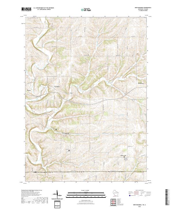 2022 New Diggings2022 Print · USGSThe driftless hills of Lafayette County appear in this survey of a historic lead-mining district. Genealogists can trace family roots at Old White Oak Springs Village Cem and explore old settlements like New Diggings and Lead Mine.
 - 2022 Map of Belmont, 2022 Print
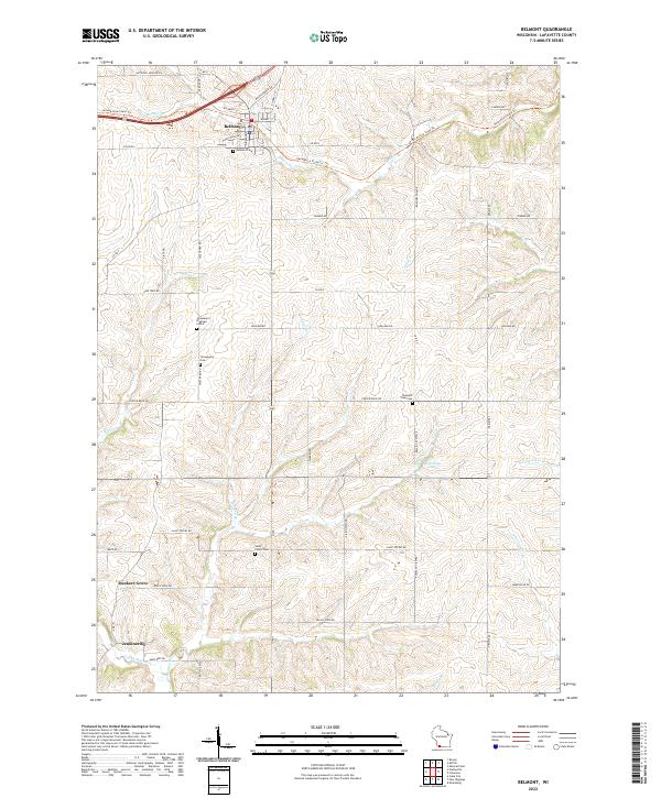 2022 Belmont2022 Print · USGSLafayette County appears in the early twenty-first century as a network of rural townships and historic mining sites. Genealogists can locate several community burial grounds including Strawberry Cem and Saint Peters Cem, or trace the old rail corridor now known as the Pecatonica State Trl.
 - 2022 Map of Platteville, 2022 Print
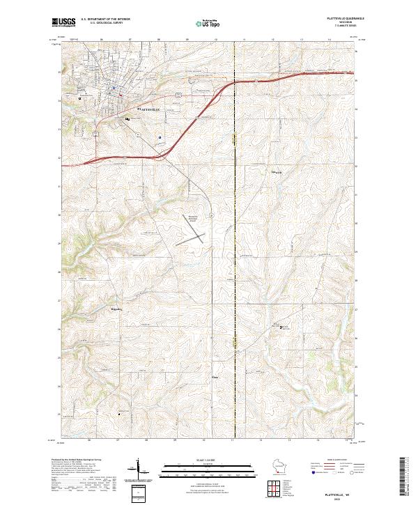 2022 Platteville2022 Print · USGSThe university city of Platteville and its surrounding agricultural valleys are documented here in the early twenty-first century. Researchers can trace rural lineages at Smelser Cem or explore the transit history of the Mound View State Trl and Platteville Municipal Airport.
 - 2022 Map of Cuba City, 2022 Print
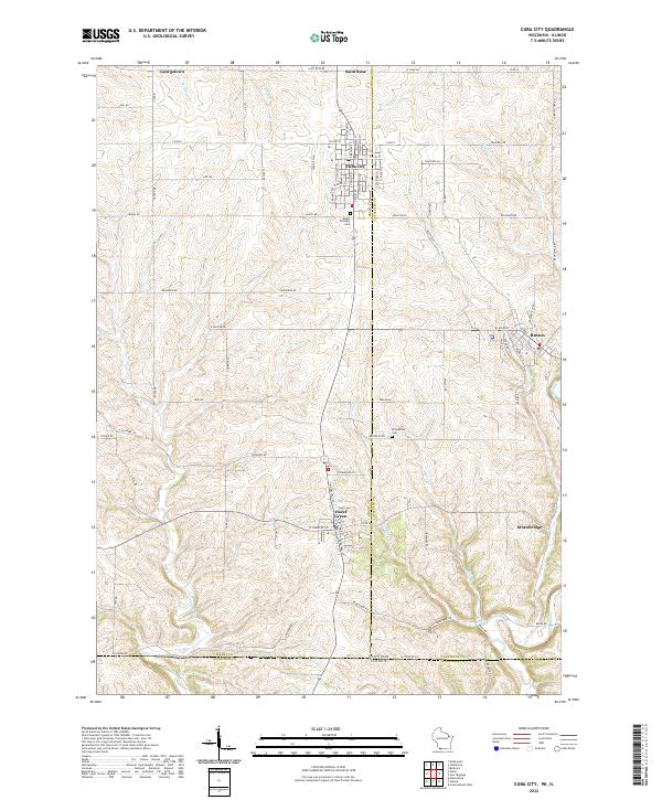 2022 Cuba City2022 Print · USGSIn the driftless borderlands of Wisconsin and Illinois, this modern survey captures the enduring settlement patterns of a historic mining region. Genealogists and researchers can trace family landmarks like Mount Pleasant Cem and old crossroads hamlets like Strawbridge and Saint Rose.
End of results
Showing maps 1-4 of 4
Top cities near Benton
- Platteville historical maps
- Galena historical maps
- Jamestown historical maps
- East Dubuque historical maps
- Cuba City historical maps
- Shullsburg historical maps
See more
Top neighborhoods of Benton
Frequently asked questions
- What are the different types of historical maps available for Benton?
- What is the oldest map of Benton?
- Where can I purchase historical maps of Benton for my home or office?
- Where can I download high-res historical maps of Benton?
- Are there historical topographic maps available for Benton?
- Is there historical aerial imagery available for Benton?
- Where are historical maps of Benton sourced from?