Old Maps of Blanchard, Wisconsin for Metal Detecting
Plan your next treasure hunt with 19 historic maps of Blanchard. Find old homesites, ghost towns, trails, and gathering spots that may be lost to time — perfect for identifying promising metal detecting locations.
- Locate forgotten sites: Uncover places like long-lost settlements, abandoned rail lines, or gathering spots.
- Plan better hunts: Use map overlays combined with LiDAR or satellite views to narrow in on historically rich areas.
- Made for detectorists: Thousands of hobbyists use these maps to discover relics, coins, and hidden history.
Use these historic maps to boost your research and find new opportunities beneath the surface of Blanchard.
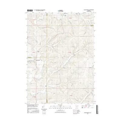
Blanchard, WI maps
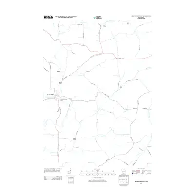
(19)- 1923 Map of Blanchardville
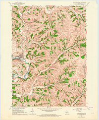
 1923 Blanchardville1923 Print · USGSThe Driftless Area of southwest Wisconsin comes alive in the early 1920s, showing a landscape defined by the Pecatonica River and early rail lines. Genealogists can locate dozens of rural landmarks, from the York Churches to schools like Lukken School and Arneson School.2 unique versions available
 - 1954 Map of Rockford
 1954 Rockford1954 Print · USGSThe Rock River valley and the Illinois-Wisconsin borderlands are captured here in the mid-1950s during a period of robust industrial and agricultural activity. Genealogists and historians can trace rail-era corridors like the Illinois Central RR and locate landmarks from Big Foot Prairie to Lake Geneva.
 - 1955 Map of Rockford
 1955 Rockford1955 Print · USGSThe Rock River valley and southern Wisconsin dairy country are shown here in the mid-fifties as the region's manufacturing centers grew. Genealogists and historians can trace the paths of the Chicago and North Western RR and Illinois Central RR through hubs like Rockford and Beloit.
 - 1958 Map of Rockford, 1974 Print
 1958 Rockford1974 Print · USGSNorthern Illinois and southern Wisconsin are shown here in the mid-twentieth century as rail-dependent industrial towns began to interface with growing lakefront communities. Genealogists can trace family roots through settlements like Saylesville and Tess Corners or locate historical landmarks like the Rockford Ordnance Depot.4 unique versions available
 - 1962 Map of Blanchardville, 1964 Print
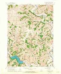
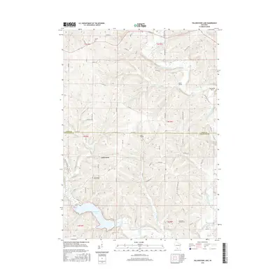
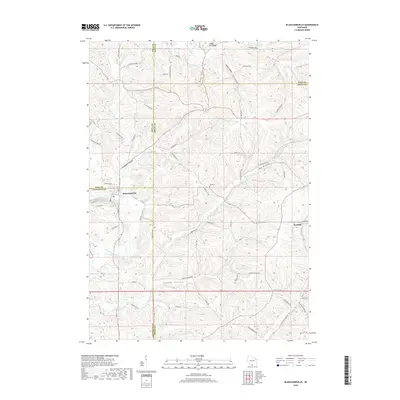
 1962 Blanchardville1964 Print · USGSSouthern Wisconsin's rolling uplands and river valleys are captured here in the early sixties, showing the vital rail-and-river connection at Blanchardville. Researchers can trace rural life through dozens of local landmarks like the Moscow Center School, Yellowstone Church, and the newly created Yellowstone Lake.
 - 1962 Map of Blanchardville, 1964 Print
 1962 Blanchardville1964 Print · USGSBlanchardville and the surrounding Driftless Area valleys are captured here in the early sixties as a bustling center of river and rail commerce. Researchers can locate family landmarks like the York Memorial Ch Cem, Meadowview School, and the scattered Quarries of the York township.
 - 1962 Map of Yellowstone Lake, 1964 Print
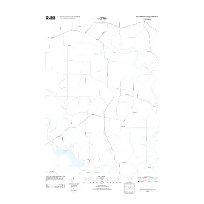
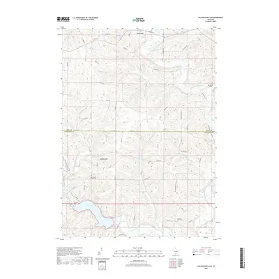
 1962 Yellowstone Lake1964 Print · USGSIowa and Lafayette counties in the early 1960s reveal a landscape of rural schools and winding river valleys centered on the recently created Yellowstone Lake. Genealogists and local historians can trace legacy sites like St Michaels Ch, Moscow Center Sch, and the winding Old Railroad Grade.2 unique versions available
 - 1963 Map of Rockford
 1963 Rockford1963 Print · USGSThe mid-century industrial corridor along the Rock River is shown here during a period of rapid post-war growth. Researchers can trace the extensive rail lines of the Chicago and North Western or locate local landmarks like the Rockford Ordnance Depot and Holy Hill.
 - 1981 Map of Monroe
 1981 Monroe1981 Print · USGSSouthern Wisconsin and the Illinois borderlands come into focus in the early 1980s, showcasing a landscape defined by dairy farming and river valleys. Genealogists can trace family roots through historic hubs like Monroe, Stoughton, and Brodhead, or locate regional landmarks such as Yellowstone Lake and the Sugar River.
 - 2010 Map of Blanchardville, 2010 Print
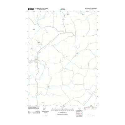 2010 Blanchardville2010 Print · USGSCovers Blanchard, including Blanchardville, Perry, and other nearby areas
 - 2010 Map of Yellowstone Lake, 2010 Print
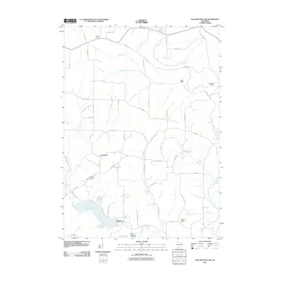 2010 Yellowstone Lake2010 Print · USGSCovers Blanchard, including Waldwick, Fayette, and other nearby areas
 - 2013 Map of Blanchardville, 2013 Print
 2013 Blanchardville2013 Print · USGSCovers Blanchard, including Blanchardville, Perry, and other nearby areas
 - 2013 Map of Yellowstone Lake, 2013 Print
 2013 Yellowstone Lake2013 Print · USGSCovers Blanchard, including Waldwick, Fayette, and other nearby areas
 - 2016 Map of Yellowstone Lake, 2016 Print
 2016 Yellowstone Lake2016 Print · USGSCovers Blanchard, including Waldwick, Fayette, and other nearby areas
 - 2016 Map of Blanchardville, 2016 Print
 2016 Blanchardville2016 Print · USGSCovers Blanchard, including Blanchardville, Perry, and other nearby areas
 - 2018 Map of Yellowstone Lake, 2018 Print
 2018 Yellowstone Lake2018 Print · USGSCovers Blanchard, including Waldwick, Fayette, and other nearby areas
 - 2018 Map of Blanchardville, 2018 Print
 2018 Blanchardville2018 Print · USGSCovers Blanchard, including Blanchardville, Perry, and other nearby areas
 - 2022 Map of Blanchardville, 2022 Print
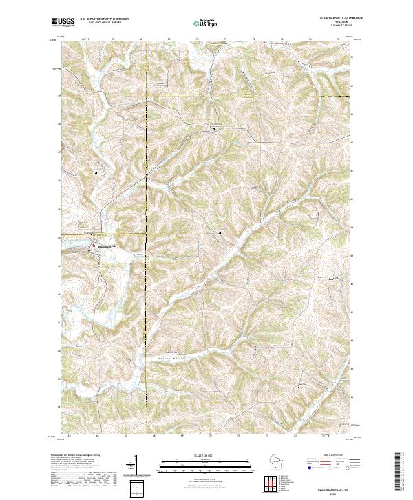 2022 Blanchardville2022 Print · USGSThe Driftless Area of southern Wisconsin is captured here during its modern agricultural era, centered on the river town of Blanchardville. Genealogists and local historians can trace legacy land patterns through landmarks like Moscow Cem, Postville, and the York Memorial Lutheran Cem.
 - 2022 Map of Yellowstone Lake, 2022 Print
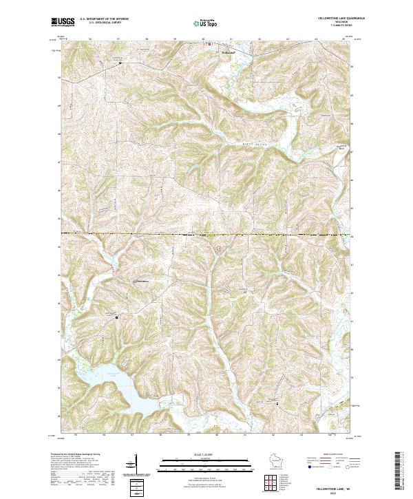 2022 Yellowstone Lake2022 Print · USGSIowa and Lafayette counties appear here in the early 2020s, showing a rural landscape shaped by the Pecatonica River. Researchers can trace local lineage at Saint Michaels Catholic Cem or explore the waters of Yellowstone Lake.
End of results
Showing maps 1-19 of 19
Top cities near Blanchard
- Mount Horeb historical maps
- Dodgeville historical maps
- Darlington historical maps
- Town of Springdale historical maps
- Barneveld historical maps
- Clarno historical maps
See more
Frequently asked questions
- What are the different types of historical maps available for Blanchard?
- What is the oldest map of Blanchard?
- Where can I purchase historical maps of Blanchard for my home or office?
- Where can I download high-res historical maps of Blanchard?
- Are there historical topographic maps available for Blanchard?
- Is there historical aerial imagery available for Blanchard?
- Where are historical maps of Blanchard sourced from?