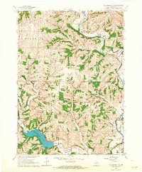
1962 Map of Yellowstone Lake
USGS Topo · Published 1964About this map
Yellowstone Lake and its surrounding conservation area anchor this southwestern Wisconsin landscape, where the borders of Iowa and Lafayette counties meet. The map reveals a transition from the structured village layout of Hollandale in the north to the winding course of the Pecatonica River and Dougherty Creek. Local history is deeply embedded in the rural road network, which connects numerous traditional landmarks including St Michaels Ch, Woodlawn Sch, and Calvary Cem. Evidence of the region's evolving infrastructure is visible in the prominent Old Railroad Grade and Railroad Grade that snake through the valleys near Horseshoe Bend. This 1962 survey documentation provides an exceptionally clear view of property lines and field boundaries, marked by fine red dashed lines, offering genealogists and land researchers a precise look at the mid-century agricultural footprint of Moscow and Waldwick townships.
Find a feature on this map
25 named features on this map. Tap any name to fly to it.
Don’t see what you’re looking for? This feature index may not catch every label — zoom into the map to look around manually.
Map Details
Editions of this 1962 Yellowstone Lake Map
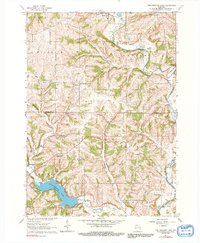
2 editions found
Other maps of this area

1902 · Mineral Point
USGS Topo · 1:125,000

1923 · Blanchardville
USGS Topo · 1:62,500

1923 · South Wayne
USGS Topo · 1:62,500

1954 · Rockford
USGS Topo · 1:250,000

1955 · Rockford
USGS Topo · 1:250,000

1958 · Rockford
USGS Topo · 1:250,000

1959 · Dubuque
USGS Topo · 1:250,000

1961 · Dubuque
USGS Topo · 1:250,000

1962 · Dubuque
USGS Topo · 1:250,000
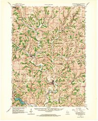
1962 · Blanchardville
USGS Topo · 1:62,500