Old Maps of Seymour, Wisconsin
Explore 30 old maps of Seymour, spanning from 1902 to today. These high-resolution historic maps reveal how streets, neighborhoods, landmarks, and natural features evolved over time — perfect for genealogy, metal detecting, research, and local history exploration.
What you can do with these maps:
- See how Seymour changed over time: Compare historical maps to modern-day views to trace roads, homesites, rail lines & more.
- View detailed metadata: Each map includes creators, publishers, year, scale, and archive source.
- Overlay maps with satellite & LiDAR: Visualize the past alongside modern tools to explore terrain & human change.
- Trusted historical sources: Maps sourced from the USGS, Library of Congress, and other archives.
- Access maps your way: View online, download high-res files, or order prints for personal or research use.
Start exploring old maps of Seymour to uncover forgotten places, hidden landmarks, and the deep history beneath your feet.
Seymour, WI maps
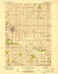
(30)- 1902 Map of Mineral Point
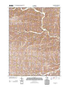
 1902 Mineral Point1902 Print · USGSSouthwest Wisconsin and Northern Illinois are mapped here at the height of the regional mining era. Genealogists and historians can trace the rail lines of the Illinois Central to vanished junctions and local landmarks like Meekers Grove, Calamine, and Elk Grove.4 unique versions available
 - 1952 Map of Shullsburg, 1954 Print
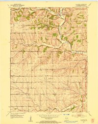
 1952 Shullsburg1954 Print · USGSShullsburg and the surrounding driftless area are shown in the early fifties during a period of transition for its lead and zinc mining industry. Researchers can trace historic family burial sites at St Matthews Cem and Monticello Cem or locate rural landmarks like Dunbarton Sch.2 unique versions available
 - 1952 Map of Calamine, 1954 Print
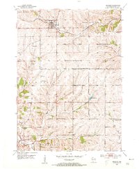
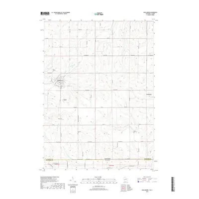
 1952 Calamine1954 Print · USGSLafayette County in the early fifties shows a rural landscape defined by the winding Pecatonica River and the local rail line. Genealogists can locate numerous country schools and cemeteries like Hamestreet Sch, Truman, and Union Grove Cemetery.
 - 1952 Map of Belmont, 1954 Print
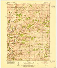
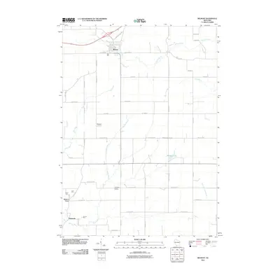
 1952 Belmont1954 Print · USGSLafayette County agricultural and mining districts are captured here in the early fifties during a period of active rural life. Genealogists can locate family landmarks like Strawberry Cem, the Roseville Ch, and local schools such as St Peters Sch.2 unique versions available
 - 1952 Map of New Diggings, 1954 Print
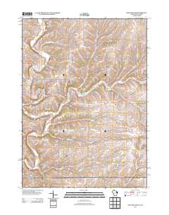
 1952 New Diggings1954 Print · USGSLead and zinc mining dominates the landscape of Lafayette County during the early fifties, where extraction sites are woven into a network of rural schools and churches. Genealogists and historians can trace family-named landmarks like Sullivan Sch, O'Brien Sch, and the Shawnee Cem.
 - 1959 Map of Dubuque, 1982 Print
 1959 Dubuque1982 Print · USGSThe Tri-State region comes alive in the mid-twentieth century as a hub of river commerce and rail transit. Genealogists and historians can trace the paths of the Illinois Central Gulf through Dubuque or locate the Savanna Ordnance Depot and Lock and Dam No 11.
 - 1961 Map of Dubuque
 1961 Dubuque1961 Print · USGSThe Tri-State region's river-and-rail landscape is captured here during the early sixties, showing the convergence of Iowa, Illinois, and Wisconsin. Trace mid-century rail lines like the Chicago Great Western Ry and explore sites like the Savanna Ordnance Depot and Backbone State Park.
 - 1962 Map of Dubuque
 1962 Dubuque1962 Print · USGSThe Tri-State region's river-and-rail economy is captured here in the early sixties, centered on the Mississippi River bluffs. Genealogists and historians can locate Numerous lead and zinc mines, the New Melleray Abbey Monastery, and rural hubs like Saint Olaf.2 unique versions available
 - 1976 Map of Dubuque
 1976 Dubuque1976 Print · USGSThe tri-state borderlands of Iowa, Wisconsin, and Illinois come alive during the mid-seventies, showing a region built on river commerce and mining. Genealogists and historians can trace the paths of the Illinois Central railroad or locate heritage sites like the New Melleray Abbey Monastery and Backbone State Park.
 - 1984 Map of Dubuque North, 1985 Print
 1984 Dubuque North1985 Print · USGSThis Tri-State region was a hub of Midwestern mining and river commerce in the mid-eighties. Researchers can trace the legacy of the Lead District through specific sites like Annie Mine or locate early civic centers such as First Capitol State Park.2 unique versions available
 - 2010 Map of Shullsburg, 2010 Print
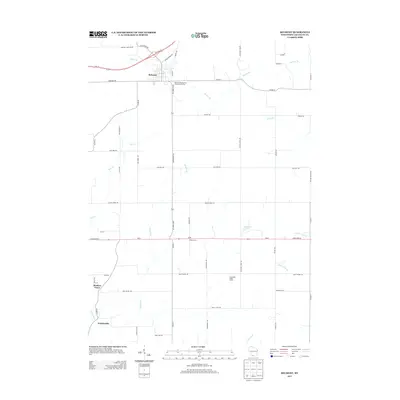
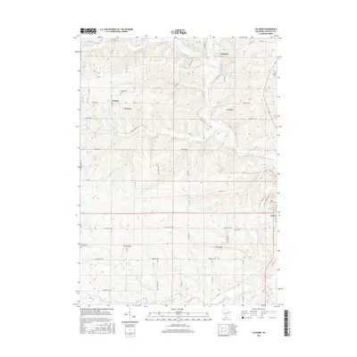
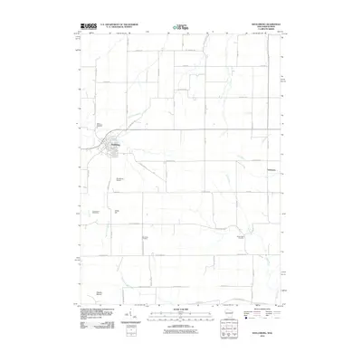 2010 Shullsburg2010 Print · USGSCovers Seymour, including Shullsburg, Monticello, and other nearby areas
 - 2010 Map of New Diggings, 2010 Print
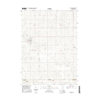
 2010 New Diggings2010 Print · USGSCovers Seymour, including Shullsburg, Benton, and other nearby areas
 - 2010 Map of Calamine, 2010 Print
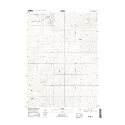
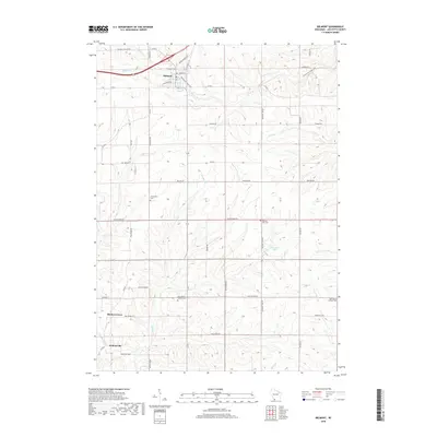
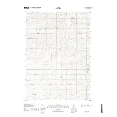
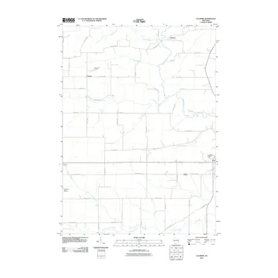 2010 Calamine2010 Print · USGSCovers Seymour, including Darlington, Darlington, and other nearby areas
 - 2010 Map of Belmont, 2010 Print
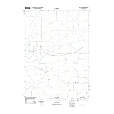
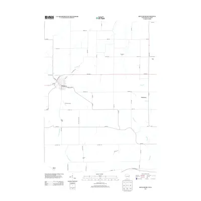
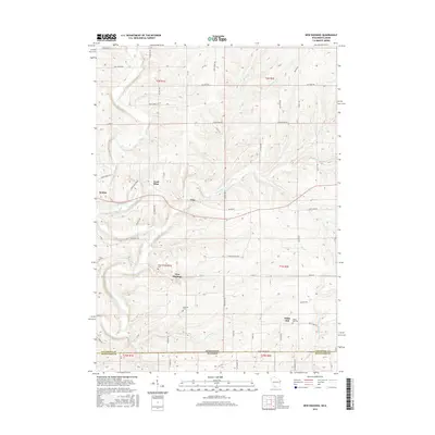
 2010 Belmont2010 Print · USGSCovers Seymour, including Belmont, Elk Grove, and other nearby areas
 - 2013 Map of Belmont, 2013 Print
 2013 Belmont2013 Print · USGSCovers Seymour, including Belmont, Elk Grove, and other nearby areas
 - 2013 Map of Shullsburg, 2013 Print
 2013 Shullsburg2013 Print · USGSCovers Seymour, including Shullsburg, Monticello, and other nearby areas
 - 2013 Map of Calamine, 2013 Print
 2013 Calamine2013 Print · USGSCovers Seymour, including Darlington, Darlington, and other nearby areas
 - 2013 Map of New Diggings, 2013 Print
 2013 New Diggings2013 Print · USGSCovers Seymour, including Shullsburg, Benton, and other nearby areas
 - 2016 Map of Calamine, 2016 Print
 2016 Calamine2016 Print · USGSCovers Seymour, including Darlington, Darlington, and other nearby areas
 - 2016 Map of New Diggings, 2016 Print
 2016 New Diggings2016 Print · USGSCovers Seymour, including Shullsburg, Benton, and other nearby areas
 - 2016 Map of Shullsburg, 2016 Print
 2016 Shullsburg2016 Print · USGSCovers Seymour, including Shullsburg, Monticello, and other nearby areas
 - 2016 Map of Belmont, 2016 Print
 2016 Belmont2016 Print · USGSCovers Seymour, including Belmont, Elk Grove, and other nearby areas
 - 2018 Map of Shullsburg, 2018 Print
 2018 Shullsburg2018 Print · USGSCovers Seymour, including Shullsburg, Monticello, and other nearby areas
 - 2018 Map of Belmont, 2018 Print
 2018 Belmont2018 Print · USGSCovers Seymour, including Belmont, Elk Grove, and other nearby areas
 - 2018 Map of Calamine, 2018 Print
 2018 Calamine2018 Print · USGSCovers Seymour, including Darlington, Darlington, and other nearby areas
Showing maps 1-25 of 30
Top cities near Seymour
- Platteville historical maps
- Galena historical maps
- Mineral Point historical maps
- Darlington historical maps
- Cuba City historical maps
- Shullsburg historical maps
See more
Frequently asked questions
- What are the different types of historical maps available for Seymour?
- What is the oldest map of Seymour?
- Where can I purchase historical maps of Seymour for my home or office?
- Where can I download high-res historical maps of Seymour?
- Are there historical topographic maps available for Seymour?
- Is there historical aerial imagery available for Seymour?
- Where are historical maps of Seymour sourced from?