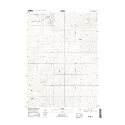
2016 Map of Belmont
USGS Topo · Published 2016About this map
Belmont serves as the primary hub in this Lafayette County landscape, where the street grid of W Wisconsin Ave and Market St meets the rural road network. The terrain is defined by a dense network of watercourses, including Bonner Br and Pats Cr, which drain the agricultural uplands. Smaller settlements like Meekers Grove and Jenkinsville anchor the southern reaches, connected by thoroughfares such as Saint Peters Rd and Red School Rd.
Find a feature on this map
49 named features on this map. Tap any name to fly to it.
Don’t see what you’re looking for? This feature index may not catch every label — zoom into the map to look around manually.
Map Details
Editions of this 2016 Belmont Map
This is the sole edition of this map. No revisions or reprints were ever made.
Other maps of this area

1902 · Mineral Point
USGS Topo · 1:125,000

1952 · Shullsburg
USGS Topo · 1:24,000

1952 · Platteville
USGS Topo · 1:24,000

1952 · Calamine
USGS Topo · 1:24,000

1952 · Rewey
USGS Topo · 1:24,000

1952 · Mineral Point
USGS Topo · 1:24,000

1952 · Cuba City
USGS Topo · 1:24,000

1952 · Belmont
USGS Topo · 1:24,000

1952 · New Diggings
USGS Topo · 1:24,000

1952 · Mifflin
USGS Topo · 1:24,000