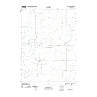
2010 Map of New Diggings
USGS Topo · Published 2010About this map
Lead mining heritage defines this corner of Lafayette County, where the driftless landscape is marked by historic excavations and small rural settlements. The namesake village of New Diggings sits central to a network of drainage systems, including the Galena River and its numerous tributaries like Shullsburg Branch and Ellis Branch. These waterways once drove the local lead-mining economy, evidenced by operations such as the Lead Mine, Mulcahy Mine, and Blackstone Mine scattered across the township.
Find a feature on this map
59 named features on this map. Tap any name to fly to it.
Don’t see what you’re looking for? This feature index may not catch every label — zoom into the map to look around manually.
Map Details
Editions of this 2010 New Diggings Map
This is the sole edition of this map. No revisions or reprints were ever made.
Other maps of this area

1902 · Mineral Point
USGS Topo · 1:125,000

1911 · Elizabeth
USGS Topo · 1:62,500

1911 · Galena
USGS Topo · 1:62,500

1913 · Galena
USGS Topo · 1:62,500

1936 · Elizabeth
USGS Topo · 1:62,500

1952 · Shullsburg
USGS Topo · 1:24,000

1952 · Platteville
USGS Topo · 1:24,000

1952 · Calamine
USGS Topo · 1:24,000

1952 · Cuba City
USGS Topo · 1:24,000

1952 · Belmont
USGS Topo · 1:24,000