Old Maps of White Oak Springs, Wisconsin for Academic Research
Study the evolution of White Oak Springs with 18 high-resolution historic maps. Whether you're teaching, researching, or modeling changes in land use, these maps provide essential visual documentation of urban, environmental, and geographic change.
- Analyze long-term change: Track patterns in development, transportation, and natural features.
- Ideal for environmental or urban studies: Support academic projects with primary historical map data.
- Use in the classroom or lab: Educators and researchers rely on these maps to bring historical context to life.
These maps are a powerful tool for teaching, research, and visualizing how White Oak Springs has changed over the decades.
White Oak Springs, WI maps
(18)- 1902 Map of Mineral Point
 1902 Mineral Point1902 Print · USGSSouthwest Wisconsin and Northern Illinois are mapped here at the height of the regional mining era. Genealogists and historians can trace the rail lines of the Illinois Central to vanished junctions and local landmarks like Meekers Grove, Calamine, and Elk Grove.4 unique versions available
 - 1952 Map of Shullsburg, 1954 Print
 1952 Shullsburg1954 Print · USGSShullsburg and the surrounding driftless area are shown in the early fifties during a period of transition for its lead and zinc mining industry. Researchers can trace historic family burial sites at St Matthews Cem and Monticello Cem or locate rural landmarks like Dunbarton Sch.2 unique versions available
 - 1952 Map of New Diggings, 1954 Print
 1952 New Diggings1954 Print · USGSLead and zinc mining dominates the landscape of Lafayette County during the early fifties, where extraction sites are woven into a network of rural schools and churches. Genealogists and historians can trace family-named landmarks like Sullivan Sch, O'Brien Sch, and the Shawnee Cem.
 - 1959 Map of Dubuque, 1982 Print
 1959 Dubuque1982 Print · USGSThe Tri-State region comes alive in the mid-twentieth century as a hub of river commerce and rail transit. Genealogists and historians can trace the paths of the Illinois Central Gulf through Dubuque or locate the Savanna Ordnance Depot and Lock and Dam No 11.
 - 1961 Map of Dubuque
 1961 Dubuque1961 Print · USGSThe Tri-State region's river-and-rail landscape is captured here during the early sixties, showing the convergence of Iowa, Illinois, and Wisconsin. Trace mid-century rail lines like the Chicago Great Western Ry and explore sites like the Savanna Ordnance Depot and Backbone State Park.
 - 1962 Map of Dubuque
 1962 Dubuque1962 Print · USGSThe Tri-State region's river-and-rail economy is captured here in the early sixties, centered on the Mississippi River bluffs. Genealogists and historians can locate Numerous lead and zinc mines, the New Melleray Abbey Monastery, and rural hubs like Saint Olaf.2 unique versions available
 - 1976 Map of Dubuque
 1976 Dubuque1976 Print · USGSThe tri-state borderlands of Iowa, Wisconsin, and Illinois come alive during the mid-seventies, showing a region built on river commerce and mining. Genealogists and historians can trace the paths of the Illinois Central railroad or locate heritage sites like the New Melleray Abbey Monastery and Backbone State Park.
 - 1984 Map of Dubuque North, 1985 Print
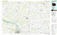 1984 Dubuque North1985 Print · USGSThis Tri-State region was a hub of Midwestern mining and river commerce in the mid-eighties. Researchers can trace the legacy of the Lead District through specific sites like Annie Mine or locate early civic centers such as First Capitol State Park.2 unique versions available
 - 2010 Map of Shullsburg, 2010 Print
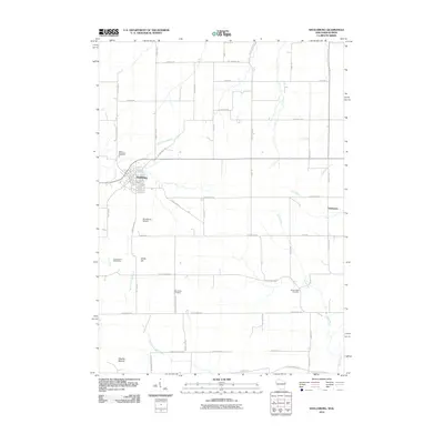 2010 Shullsburg2010 Print · USGSShullsburg and the surrounding Wisconsin-Illinois borderlands are documented here just as the modern decade began. Researchers can locate long-standing family burial sites like Saint Matthews Cemetery or trace the mining history of the Calumet and Hecla Mine.
 - 2010 Map of New Diggings, 2010 Print
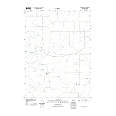 2010 New Diggings2010 Print · USGSLafayette County was still defined by its lead-mining roots and rural hamlets at the start of the twenty-first century. Genealogists and historians can trace family-named roads and landmarks, from the Masonic Cemetery in New Diggings to the Blackstone Mine near White Oak.
 - 2013 Map of Shullsburg, 2013 Print
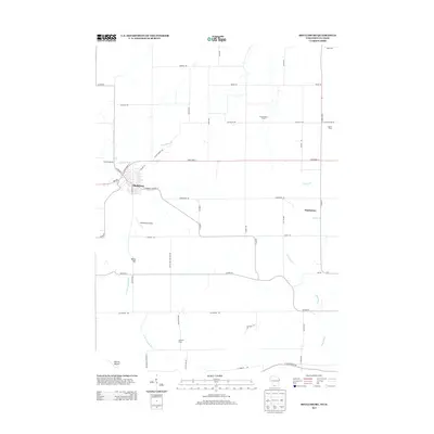 2013 Shullsburg2013 Print · USGSLafayette County enters the 2010s as a landscape of established family farms and river valleys centered on the historic streets of Shullsburg. Genealogists and local historians can trace modern property locations like Teutschmann Farm or the smaller community of Dunbarton.
 - 2013 Map of New Diggings, 2013 Print
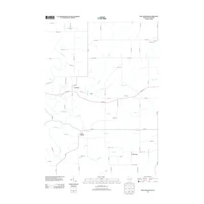 2013 New Diggings2013 Print · USGSThe Driftless Area of Lafayette County is captured here in the early twenty-first century, showing the enduring agricultural and mining heritage of the region. Genealogists and local historians can trace family properties like Windy Acres or visit the namesake Lead Mine and New Diggings settlements.
 - 2016 Map of New Diggings, 2016 Print
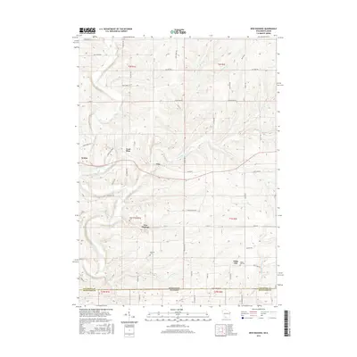 2016 New Diggings2016 Print · USGSThe Wisconsin-Illinois borderlands appear here in the early twenty-first century, centered on the historic mining district near New Diggings. Genealogists and local historians can trace family plots at Masonic Cem or locate old industrial sites like the Lead Mine.
 - 2016 Map of Shullsburg, 2016 Print
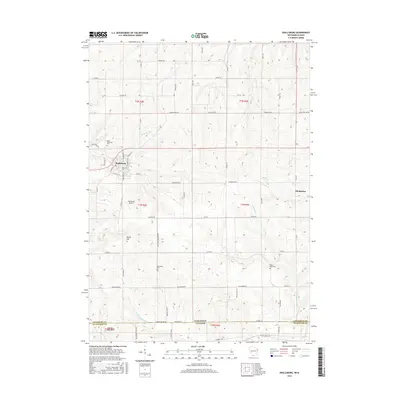 2016 Shullsburg2016 Print · USGSSouthern Lafayette County and the Wisconsin-Illinois border appear here during the mid-2010s. Genealogists and local historians can trace family roots through Saint Matthews Cem and Mount Hope Cem or locate the village of Dunbarton.
 - 2018 Map of Shullsburg, 2018 Print
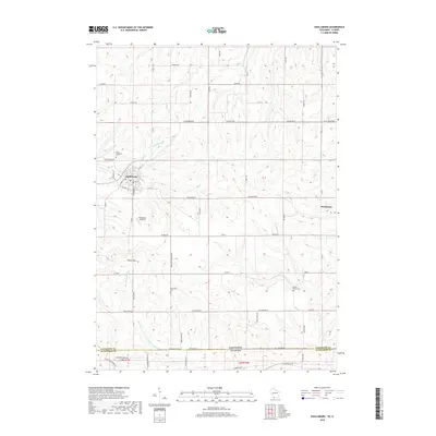 2018 Shullsburg2018 Print · USGSLafayette County and the Illinois borderlands are captured here in the late twenty-teens, showing the agricultural and township patterns of the Driftless Area. Genealogists and local historians can trace family locations near Shullsburg, Dunbarton, and several rural burial grounds like Mount Hope Cem.
 - 2018 Map of New Diggings, 2018 Print
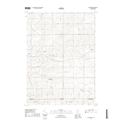 2018 New Diggings2018 Print · USGSLafayette County’s lead-mining heritage is visible across this rural landscape in the late 2010s. Genealogists and historians can trace family-named roads and rural burial sites like Masonic Cem, Lead Mine, and the village of New Diggings.
 - 2022 Map of New Diggings, 2022 Print
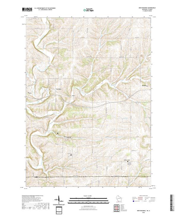 2022 New Diggings2022 Print · USGSThe driftless hills of Lafayette County appear in this survey of a historic lead-mining district. Genealogists can trace family roots at Old White Oak Springs Village Cem and explore old settlements like New Diggings and Lead Mine.
 - 2022 Map of Shullsburg, 2022 Print
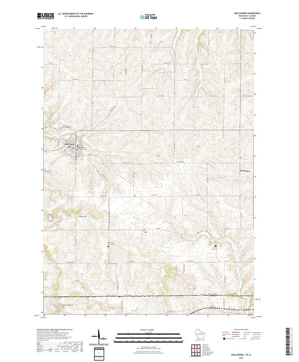 2022 Shullsburg2022 Print · USGSSouthwestern Wisconsin’s lead-mining heritage country is captured here in the contemporary era. Researchers can trace family history through sites like Saint Matthews Old Catholic Cem or explore the rural landscape around Dunbarton and Charles Mound.
End of results
Showing maps 1-18 of 18
Top cities near White Oak Springs
- Platteville historical maps
- Galena historical maps
- Darlington historical maps
- Cuba City historical maps
- Stockton historical maps
- Shullsburg historical maps
See more
Top neighborhoods of White Oak Springs
Frequently asked questions
- What are the different types of historical maps available for White Oak Springs?
- What is the oldest map of White Oak Springs?
- Where can I purchase historical maps of White Oak Springs for my home or office?
- Where can I download high-res historical maps of White Oak Springs?
- Are there historical topographic maps available for White Oak Springs?
- Is there historical aerial imagery available for White Oak Springs?
- Where are historical maps of White Oak Springs sourced from?