Old Maps of Sunny Waters, Wolf River for Genealogy
Trace your family roots with 10 historic maps of Sunny Waters. These high-res maps reveal old neighborhoods, homesites, landmarks, and streets — helping you uncover where your ancestors lived and how the area evolved over time.
- Explore historic neighborhoods: Identify where your relatives may have lived in the 1800s or 1900s.
- Compare maps over time: Trace the changes in streets, buildings, and landmarks for multi-generational research.
- Perfect for genealogy & ancestry research: Used by family historians and researchers to map out lineage and migration.
These maps are an incredible resource for exploring your personal connection to Sunny Waters's past.
Sunny Waters, Wolf River maps
(10)- 1952 Map of Langlade, 1955 Print
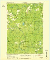 1952 Langlade1955 Print · USGSThe Menominee Indian Reservation and Nicolet National Forest meet in this mid-century survey of northern Wisconsin. Trace local history through the Markton PO, the Gardner Dam Boy Scout Camps, and fire-watch sites like the Boulder Lake Lookout Tower.2 unique versions available
 - 1954 Map of Iron Mountain, 1964 Print
 1954 Iron Mountain1964 Print · USGSUpper Michigan and Northeastern Wisconsin are shown in detail during the mid-fifties, when the logging and mining economies still moved by rail. Trace the rail lines of the Soo Line to remote stops like Koepenick Station or explore the Iron Range near Iron Mountain.2 unique versions available
 - 1959 Map of Iron Mountain
 1959 Iron Mountain1959 Print · USGSThe northwoods of Wisconsin and the Michigan border are captured here in the mid-fifties, showing a landscape defined by timber, water, and rail. Researchers can trace historic junctions like Hiles Junction, the expansive Nicolet National Forest, and lakefront settlements from Rhinelander to Tomahawk.2 unique versions available
 - 1973 Map of Markton, 1977 Print
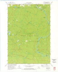 1973 Markton1977 Print · USGSThe Wolf River corridor in the early 1970s reveals a wilderness landscape managed by the Menominee Indian Reservation. Researchers can trace numerous river landmarks including Big Smoky Falls, The Dalles, and the small settlement of Markton.
 - 1990 Map of Wabeno, 1991 Print
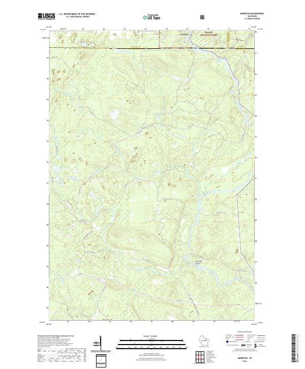
 1990 Wabeno1991 Print · USGSThe Wisconsin Northwoods in the early nineties is a landscape of deep timber, tribal lands, and glacial lakes. Researchers can trace the Chicago and North Western rail line through lumber towns like Wabeno and Townsend or locate the Lakewood State Fish Hatchery.
 - 2011 Map of Markton, 2011 Print
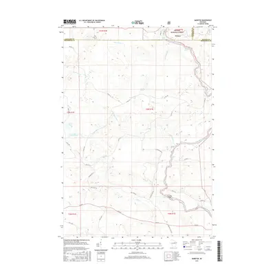
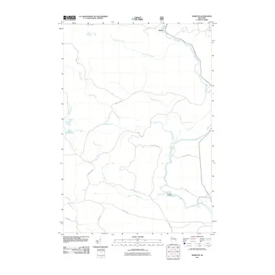 2011 Markton2011 Print · USGSCovers Sunny Waters, including Doty, Markton, and other nearby areas
 - 2013 Map of Markton, 2013 Print
 2013 Markton2013 Print · USGSCovers Sunny Waters, including Doty, Markton, and other nearby areas
 - 2015 Map of Markton, 2015 Print
 2015 Markton2015 Print · USGSCovers Sunny Waters, including Doty, Markton, and other nearby areas
 - 2019 Map of Markton, 2019 Print
 2019 Markton2019 Print · USGSCovers Sunny Waters, including Doty, Markton, and other nearby areas
 - 2022 Map of Markton, 2022 Print
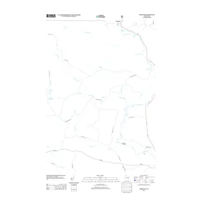
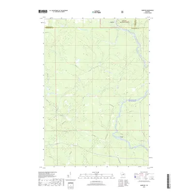
 2022 Markton2022 Print · USGSMenominee County is centered on the wild waters of the Wolf River in the early 2020s. Genealogists and river historians can trace the paths of BIA Rte 122 and locate historic river landmarks like Saturday Islands and Evergreen Falls.
End of results
Showing maps 1-10 of 10
Frequently asked questions
- What are the different types of historical maps available for Sunny Waters?
- What is the oldest map of Sunny Waters?
- Where can I purchase historical maps of Sunny Waters for my home or office?
- Where can I download high-res historical maps of Sunny Waters?
- Are there historical topographic maps available for Sunny Waters?
- Is there historical aerial imagery available for Sunny Waters?
- Where are historical maps of Sunny Waters sourced from?