Old Maps of Bradley, Wisconsin for Metal Detecting
Plan your next treasure hunt with 38 historic maps of Bradley. Find old homesites, ghost towns, trails, and gathering spots that may be lost to time — perfect for identifying promising metal detecting locations.
- Locate forgotten sites: Uncover places like long-lost settlements, abandoned rail lines, or gathering spots.
- Plan better hunts: Use map overlays combined with LiDAR or satellite views to narrow in on historically rich areas.
- Made for detectorists: Thousands of hobbyists use these maps to discover relics, coins, and hidden history.
Use these historic maps to boost your research and find new opportunities beneath the surface of Bradley.
Bradley, WI maps
(38)- 1939 Map of Mc Cord
 1939 Mc Cord1939 Print · USGSOneida and Lincoln counties come into focus during the late 1930s as a land of timber, railroads, and nascent reservoirs. Genealogists and local historians can trace the foundations of settlements like Clifford and Tripoli or locate vanished rural schoolhouses such as Somo Lake Sch and Kelly Sch.3 unique versions available
 - 1939 Map of Cassian, 1946 Print
 1939 Cassian1946 Print · USGSOneida County's Northwoods come into focus in the late thirties, showing a landscape defined by glacial lakes and timber-country rail lines. Genealogists can trace rural life through scattered schoolhouses like Fernwood Sch and Stewart Sch or rail stops at Heafford Junction and Goodnow.4 unique versions available
 - 1942 Map of Cassian
 1942 Cassian1942 Print · USGSOneida County's lake country is seen here in the late 1930s as a hub of rail activity and forestry. Genealogists and researchers can trace rural school sites like Crescent Flats Sch and follow the rail junctions at Heafford Junction and Cassian (Deer Trail Sta).
 - 1947 Map of Mc Cord
 1947 Mc Cord1947 Print · USGSOneida and Lincoln counties come into focus during the late 1930s and 1940s as a landscape of timber, rail, and water. Genealogists and historians can locate rural schoolhouses like Lund Sch, the CCC Camp at Mc Cord, and the Prairie Rapids Ch.
 - 1950 Map of Tomahawk, 1956 Print
 1950 Tomahawk1956 Print · USGSThe river and rail networks of Lincoln County are captured here in the early fifties, centering on the industrial activity of the Wisconsin River. Genealogists and historians can trace family roots through numerous country schools and cemeteries like Calvary Cemetery, Little Pine Creek School, and the settlement at Irma.
 - 1950 Map of Spirit Falls, 1957 Print
 1950 Spirit Falls1957 Print · USGSLincoln County’s river valleys and timberlands are captured here in the early 1950s, documenting the era of hydroelectric power and forest management. Genealogists and historians can trace Old Railroad Grade, remote outposts like Camp 25, and local landmarks like Grandfather Falls.2 unique versions available
 - 1952 Map of Spirit Falls
 1952 Spirit Falls1952 Print · USGSLincoln County is captured during its mid-century transition from a timber-driven frontier to an era of hydroelectric power. Genealogists and researchers can trace rural school locations like Mitchell Sch and industrial sites including Averill Junction and the Grandfather Dam.
 - 1952 Map of Tomahawk
 1952 Tomahawk1952 Print · USGSWisconsin's timber country comes into focus in the early fifties as the river-driven economy of Lincoln County transitions toward modernization. Genealogists and historians can locate rural landmarks like Irma, the Dotter Sch (Abandoned), and Calvary Cem.
 - 1954 Map of Iron Mountain, 1964 Print
 1954 Iron Mountain1964 Print · USGSUpper Michigan and Northeastern Wisconsin are shown in detail during the mid-fifties, when the logging and mining economies still moved by rail. Trace the rail lines of the Soo Line to remote stops like Koepenick Station or explore the Iron Range near Iron Mountain.2 unique versions available
 - 1959 Map of Iron Mountain
 1959 Iron Mountain1959 Print · USGSThe northwoods of Wisconsin and the Michigan border are captured here in the mid-fifties, showing a landscape defined by timber, water, and rail. Researchers can trace historic junctions like Hiles Junction, the expansive Nicolet National Forest, and lakefront settlements from Rhinelander to Tomahawk.2 unique versions available
 - 1966 Map of Tomahawk, 1968 Print
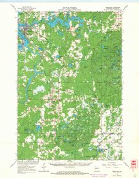 1966 Tomahawk1968 Print · USGSLincoln County in the mid-sixties remains a landscape defined by timber, water power, and the rail lines connecting them. Genealogists and historians can trace families and industries through sites like Kings Dam, Bethany Ch, and the rural community of Irma.
 - 1966 Map of Heafford Junction, 1968 Print
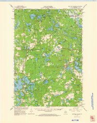 1966 Heafford Junction1968 Print · USGSOneida County's lake-rich timberlands are documented here in the mid-1960s, showing a landscape defined by rail junctions and glacial waters. Genealogists and local historians can locate the Cassian-Woodboro Sch Cem, the old Nekomis Sch, and rail-side stops like Heafford Junction.
 - 1971 Map of Bradley, 1973 Print
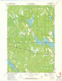 1971 Bradley1973 Print · USGSOneida and Lincoln Counties are captured here in the early seventies, a landscape shaped by the Little Rice River and the expanding Lake Nokomis flowage. Researchers can trace the Soo Line railroad through Bradley or locate the Prairie Rapids Cem amidst the northwoods lakeside drives.
 - 1978 Map of Coffee Creek, 1979 Print
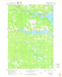 1978 Coffee Creek1979 Print · USGSLincoln County’s river-driven landscape is captured here in the late seventies, centered on the confluence of the Wisconsin and Spirit rivers. Genealogists and local historians can trace family-named roads and rural landmarks like Wilson School, the Zenith Lookout Tower, and the Cranberry Bog.2 unique versions available
 - 1982 Map of Heafford Junction, 1983 Print
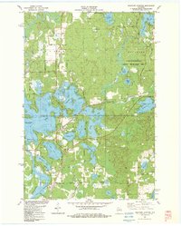 1982 Heafford Junction1983 Print · USGSOneida and Lincoln Counties are defined by a vast network of glacial water in the early eighties. You can trace the railroad history of Heafford Junction and locate local landmarks like Hiawatha Sch and the Inshalla Country Club.
 - 1982 Map of Tomahawk, 1983 Print
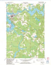 1982 Tomahawk1983 Print · USGSThe industrial and riparian heart of Lincoln County is shown here in the early eighties, centered on the confluence of the Wisconsin and Spirit Rivers. Genealogists and local historians can trace the foundations of Tomahawk and Jersey City, alongside landmarks like Oak Hill Cem and the Kings Dam Powerplant.
 - 1989 Map of Rhinelander, 1990 Print
 1989 Rhinelander1990 Print · USGSThe Wisconsin Northwoods are captured here in the late eighties, showing a landscape defined by water and timber management. Researchers can trace the Soo Line rail corridors and find local landmarks like Rainbow Flowage, Pelican Lake, and the Rhinelander-Oneida Co Airport.
 - 1990 Map of Merrill, 1991 Print
 1990 Merrill1991 Print · USGSWisconsin's Northwoods transition from timber industry to recreation in the 1990s, centered on the river corridors of Lincoln and Langlade counties. Genealogists and historians can trace rail history along the Soo Line and Old RR Grade between Merrill and Antigo.
 - 2010 Map of Bradley, 2010 Print
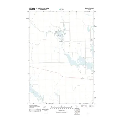 2010 Bradley2010 Print · USGSThe Northwoods around Bradley are revealed here in the early twenty-first century, showing a landscape defined by its river systems and flowages. Researchers can trace the Little Rice River to its Dam or find the Prairie Rapids Cemetery near the banks of the Tomahawk River.
 - 2010 Map of Tomahawk, 2010 Print
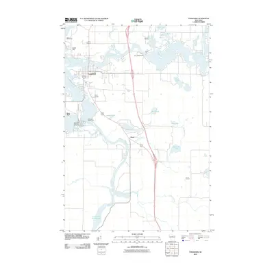 2010 Tomahawk2010 Print · USGSWisconsin’s Northwoods and its industrial riverfront are captured here in the early twenty-first century. Genealogists and local historians can trace the development of Tomahawk and Jersey City near landmarks like Calvary Cemetery and the Kings Dam.
 - 2010 Map of Heafford Junction, 2010 Print
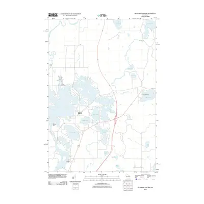 2010 Heafford Junction2010 Print · USGSHeafford Junction and the surrounding Northwoods lake country are captured in detail during the early 2000s. Researchers can trace local history through sites like Prairie Rapids Cemetery, Hancock Lake Dam, and the namesake Heafford Junction rail and road crossing.
 - 2011 Map of Coffee Creek, 2011 Print
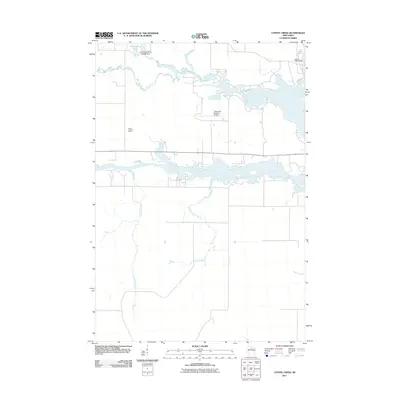 2011 Coffee Creek2011 Print · USGSThe confluence of the Somo and Spirit Rivers near Tomahawk is captured here during the early twenty-first century. Researchers can trace the local water management system through the Little Somo River 2WP464 Dam, the Jersey 2WP33 Dam, and the Zenith Lookout Tower.
 - 2013 Map of Bradley, 2013 Print
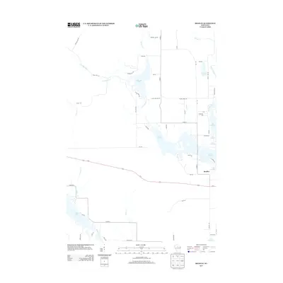 2013 Bradley2013 Print · USGSBradley and the surrounding Lincoln County lake country are documented here in the early twenty-first century. Genealogists and local historians can trace the rural road network and water features like Lake Nokomis, Somo Lake, and the small settlement of Bradley.
 - 2013 Map of Tomahawk, 2013 Print
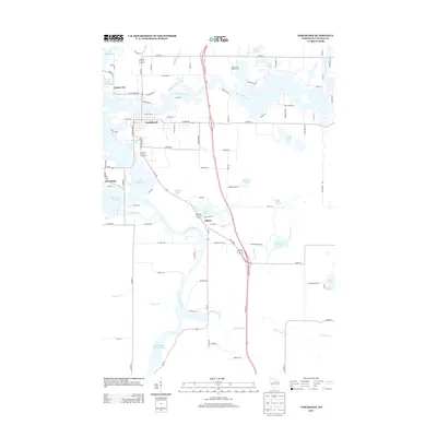 2013 Tomahawk2013 Print · USGSThe Wisconsin River corridor at the start of the 2010s shows a landscape deeply integrated with its waters. Trace the layout of riverfront settlements like Tomahawk and Jersey City, or locate specific landmarks from Bradley Park to the shores of Lake Mohawksin.
 - 2013 Map of Coffee Creek, 2013 Print
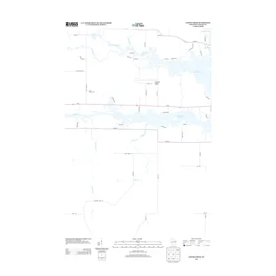 2013 Coffee Creek2013 Print · USGSLincoln County's river systems and aviation infrastructure are documented here during the early twenty-first century. Researchers can trace the water levels of the Spirit River Flowage or locate local landmarks like the Zenith Lookout Tower and Tomahawk Regional Airport.
Showing maps 1-25 of 38
Top cities near Bradley
Top neighborhoods of Bradley
Frequently asked questions
- What are the different types of historical maps available for Bradley?
- What is the oldest map of Bradley?
- Where can I purchase historical maps of Bradley for my home or office?
- Where can I download high-res historical maps of Bradley?
- Are there historical topographic maps available for Bradley?
- Is there historical aerial imagery available for Bradley?
- Where are historical maps of Bradley sourced from?