Old Maps of Corning, Wisconsin for Academic Research
Study the evolution of Corning with 74 high-resolution historic maps. Whether you're teaching, researching, or modeling changes in land use, these maps provide essential visual documentation of urban, environmental, and geographic change.
- Analyze long-term change: Track patterns in development, transportation, and natural features.
- Ideal for environmental or urban studies: Support academic projects with primary historical map data.
- Use in the classroom or lab: Educators and researchers rely on these maps to bring historical context to life.
These maps are a powerful tool for teaching, research, and visualizing how Corning has changed over the decades.
Corning, WI maps
(74)- 1902 Map of Marathon, 1938 Print
 1902 Marathon1938 Print · USGSMarathon County is captured here at the height of the timber era, when a dense network of logging railroads and new settlements defined the central Wisconsin woods. Genealogists and historians can trace early town sites like Athens, Rib Falls, and the specialized Connors Logging R. R.
 - 1945 Map of Rib Lake
 1945 Rib Lake1945 Print · USGSNorthern Wisconsin lake country is captured here during the 1940s, showing a landscape of timber and township life. Genealogists can locate rural landmarks like Spirit Town Hall, Mission Ch, and schools like Ring Sch or Stone Lake Sch.
 - 1947 Map of Rib Lake, 1956 Print
 1947 Rib Lake1956 Print · USGSTaylor and Price Counties come into focus during the late 1940s, a period when the timber industry and small-town life shaped this north-central Wisconsin landscape. Genealogists can trace family footprints through rural landmarks like Mission Ch, Stone Lake Sch, and the village of Rib Lake.
 - 1949 Map of Rib Lake
 1949 Rib Lake1949 Print · USGSRib Lake and the surrounding Northwoods townships appear here in the late 1940s, just as the rural schoolhouse system remained a central pillar of the community. Genealogists and historians can locate numerous local landmarks like Ring Sch, the Wilderness Lookout Tower, and the Mission Ch.
 - 1950 Map of Spirit Falls, 1957 Print
 1950 Spirit Falls1957 Print · USGSLincoln County’s river valleys and timberlands are captured here in the early 1950s, documenting the era of hydroelectric power and forest management. Genealogists and historians can trace Old Railroad Grade, remote outposts like Camp 25, and local landmarks like Grandfather Falls.2 unique versions available
 - 1951 Map of Athens, 1954 Print
 1951 Athens1954 Print · USGSMarathon and Taylor Counties are captured here in the early fifties, showing a rural landscape organized around the Soo Line railroad. Genealogists can locate dozens of country schools and churches like St Peter Ch, Goodrich Ch, and Corinth Sch.2 unique versions available
 - 1951 Map of Hamburg, 1969 Print
 1951 Hamburg1969 Print · USGSThe rural borderlands of Lincoln and Marathon counties come alive in this mid-century survey of Wisconsin dairy country. Genealogists and historians can trace family-named sites like the Lueck Cem, Mitchell Sch, and the unique crossroads of Little Chicago.
 - 1952 Map of Spirit Falls
 1952 Spirit Falls1952 Print · USGSLincoln County is captured during its mid-century transition from a timber-driven frontier to an era of hydroelectric power. Genealogists and researchers can trace rural school locations like Mitchell Sch and industrial sites including Averill Junction and the Grandfather Dam.
 - 1953 Map of Rice Lake, 1967 Print
 1953 Rice Lake1967 Print · USGSNorthwest Wisconsin during the mid-fifties reveals a landscape defined by timber, rail, and water. Genealogists and historians can trace the development of river towns like Ladysmith and Rice Lake along the Soo Line and Chicago and North Western railroads.2 unique versions available
 - 1954 Map of Iron Mountain, 1964 Print
 1954 Iron Mountain1964 Print · USGSUpper Michigan and Northeastern Wisconsin are shown in detail during the mid-fifties, when the logging and mining economies still moved by rail. Trace the rail lines of the Soo Line to remote stops like Koepenick Station or explore the Iron Range near Iron Mountain.2 unique versions available
 - 1959 Map of Rice Lake
 1959 Rice Lake1959 Print · USGSNorthwest Wisconsin in the late fifties was a land of expanding road networks and deep-seated timber history. Genealogists and historians can trace rail lines like the Soo Line RR and Chicago St Paul Minneapolis and Omaha Ry as they link settlements from Spooner to Medford.
 - 1959 Map of Iron Mountain
 1959 Iron Mountain1959 Print · USGSThe northwoods of Wisconsin and the Michigan border are captured here in the mid-fifties, showing a landscape defined by timber, water, and rail. Researchers can trace historic junctions like Hiles Junction, the expansive Nicolet National Forest, and lakefront settlements from Rhinelander to Tomahawk.2 unique versions available
 - 1978 Map of Hamburg, 1979 Print
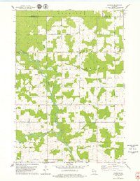 1978 Hamburg1979 Print · USGSMarathon County in the late seventies is a landscape of river confluences and quiet rural crossroads. Genealogists and local historians can locate early family landmarks like St Pauls Cem, the Hamburg PO, and Salem Ch along the banks of the Rib River.
 - 1978 Map of Little Chicago, 1979 Print
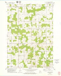 1978 Little Chicago1979 Print · USGSMarathon County in the late seventies is captured here as a patchwork of active dairy farms and small townships. Researchers can trace family roots through numerous sites like Maple Grove Sch, Big Hill Cem, and the rural community of Naugart.2 unique versions available
 - 1978 Map of Natzke Camp, 1979 Print
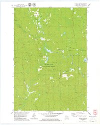 1978 Natzke Camp1979 Print · USGSLincoln County in the late 1970s remained a landscape deeply tied to its logging roots and conservation lands. Genealogists and historians can trace the paths of an Old Railroad Grade or locate historical forest sites like Natzke Camp and Camp 27.
 - 1978 Map of Alexander Lake, 1979 Print
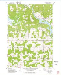 1978 Alexander Lake1979 Print · USGSLincoln County’s riverfront and marshlands are captured here in the late seventies as rural townships expanded west of Merrill. Genealogists and local historians can trace family-named roads and landmarks like St Pauls Cem, Scott Sch, and the Cranberry Bog.
 - 1978 Map of Fromm Lookout Tower, 1979 Print
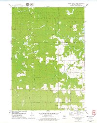 1978 Fromm Lookout Tower1979 Print · USGSLincoln County timberlands and river forks come into focus in the late 1970s. Trace old logging routes along the Old Railroad Grade or locate local landmarks like the Fromm Lookout Tower and Immanuel Ch.
 - 1978 Map of Spirit Falls, 1979 Print
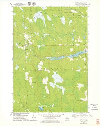 1978 Spirit Falls1979 Print · USGSLincoln County in the late 1970s remains a landscape defined by its timber heritage and winding waterways. Genealogists and local historians can trace the Old Railroad Grade through the townships or locate the remote settlement of Spirit Falls near the Spirit River Flowage.2 unique versions available
 - 1979 Map of Spirit, 1980 Print
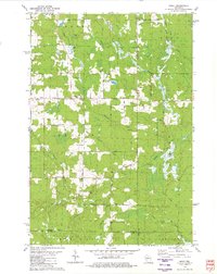 1979 Spirit1980 Print · USGSThe township of Spirit and its surrounding rural countryside are captured in the late seventies as a community of small farms and timberlands. Local historians can trace old homestead access via Settlement Road, visit the Hillcrest Cem, and locate the Old Railroad Grade near Squaw Creek.2 unique versions available
 - 1979 Map of Wood Lake, 1980 Print
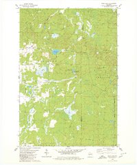 1979 Wood Lake1980 Print · USGSTaylor and Lincoln Counties appear in the late seventies as a landscape of timber-era remnants and sprawling wetlands. Genealogists and historians can trace the Old Railroad Grade and Old RR GR through the terrain near Wood Lake and Camp Eight Flowage.2 unique versions available
 - 1980 Map of Goodrich
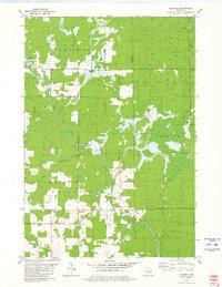 1980 Goodrich1980 Print · USGSTaylor County and Lincoln County meet in this northern Wisconsin landscape as it appeared in 1980. Local researchers can trace family landmarks like Goodrich Ch, explore the path of the Old Railroad Grade, and locate the small settlement of Interwald.2 unique versions available
 - 1980 Map of Athens
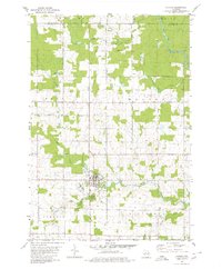 1980 Athens1980 Print · USGSMarathon County at the end of the 1970s shows a landscape of steady agricultural and timber-linked growth centered on the village of Athens. Genealogists and historians can trace the Old Railroad Grade and locate family markers at the local Cem or along Potato Creek.2 unique versions available
 - 1980 Map of Medford
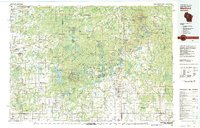 1980 Medford1980 Print · USGSNorth-central Wisconsin in the early eighties shows a landscape of dense timber and rail-linked settlements. Genealogists and historians can trace the Soo Line through towns like Medford and Westboro or locate family homesteads near Perkinstown and Athens.
 - 1990 Map of Merrill, 1991 Print
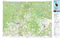 1990 Merrill1991 Print · USGSWisconsin's Northwoods transition from timber industry to recreation in the 1990s, centered on the river corridors of Lincoln and Langlade counties. Genealogists and historians can trace rail history along the Soo Line and Old RR Grade between Merrill and Antigo.
 - 2010 Map of Little Chicago, 2010 Print
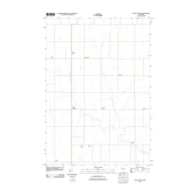 2010 Little Chicago2010 Print · USGSMarathon County at the start of the decade shows a quiet rural landscape defined by small hamlets and winding waterways. Genealogists can trace family heritage through numerous sites like Dreieinigkeit Cemetery, Little Chicago, and the West Fork Little Rib River.
Showing maps 1-25 of 74
Top cities near Corning
- Merrill historical maps
- Tomahawk historical maps
- Bradley historical maps
- Maine historical maps
- Athens historical maps
- Hamburg historical maps
See more
Frequently asked questions
- What are the different types of historical maps available for Corning?
- What is the oldest map of Corning?
- Where can I purchase historical maps of Corning for my home or office?
- Where can I download high-res historical maps of Corning?
- Are there historical topographic maps available for Corning?
- Is there historical aerial imagery available for Corning?
- Where are historical maps of Corning sourced from?