2000s (21st Century) Maps of Rock Falls, Wisconsin
Explore 30 historic maps of Rock Falls from the 2000s (21st Century). These maps offer a rare glimpse into what life looked like during the 2000s — showing old roads, neighborhoods, homes, and landmarks that have changed or disappeared over time.
Whether you're researching your family's past, planning a metal detecting trip, or studying how Rock Falls's landscape evolved across the 2000s, these high-resolution maps are a powerful tool for exploring the history of this region.
- Focus on a specific era: All maps on this page are from the 2000s, giving you a focused view of this time period.
- See what’s changed: Compare century-old streets, trails, and buildings to today's modern landscape using overlays and satellite layers.
- Research with precision: Use these maps for genealogy, historical research, land use analysis, or educational projects.
- View, download, or print: Maps are fully viewable online in high resolution, and can be downloaded or printed for your own records.
Start exploring Rock Falls's history through authentic maps from the 2000s. This is your window into the past.
Rock Falls, WI maps
(30)- 2010 Map of Merrill, 2010 Print
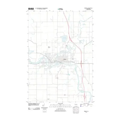 2010 Merrill2010 Print · USGSMerrill is shown at a point of modern maturity in the early twenty-first century, centered on its historic river confluence. Researchers can trace the layout of the city near the Merrill 1874C118 Dam and locate family history sites like Merrill Cemetery or Saint John Cemetery.
 - 2010 Map of Grandfather Falls, 2010 Print
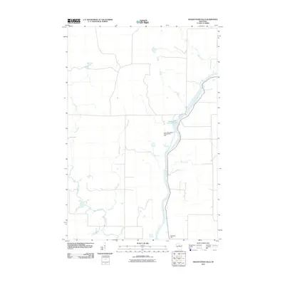 2010 Grandfather Falls2010 Print · USGSThe Wisconsin River and its hydroelectric infrastructure define this Lincoln County landscape in the early twenty-first century. Researchers can trace the river's path from Grandfather Flowage 2295 past the Upper Grandfather Falls Dam and toward Ninemile Hill.
 - 2010 Map of Tomahawk, 2010 Print
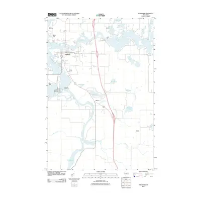 2010 Tomahawk2010 Print · USGSWisconsin’s Northwoods and its industrial riverfront are captured here in the early twenty-first century. Genealogists and local historians can trace the development of Tomahawk and Jersey City near landmarks like Calvary Cemetery and the Kings Dam.
 - 2010 Map of Alexander Lake, 2010 Print
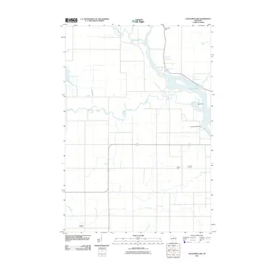 2010 Alexander Lake2010 Print · USGSThe northern Wisconsin river country is captured here in the early twenty-first century, showing the meeting of the Wisconsin River and Copper River. Genealogists and historians can locate the Methodist Cemetery and Snow Hill Cemetery or trace the Alexander WP200 Dam.
 - 2010 Map of Irma, 2010 Print
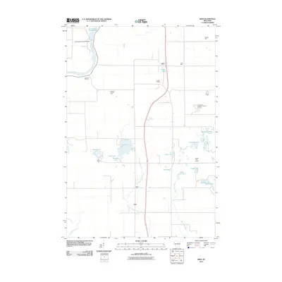 2010 Irma2010 Print · USGSIrma and the surrounding Wisconsin lake country are captured here during the first decade of the 21st century. Researchers can locate family landmarks like Woodlawn Cemetery, the Grandmother Falls WP185 Dam, and the rural junction of Otis.
 - 2011 Map of Coffee Creek, 2011 Print
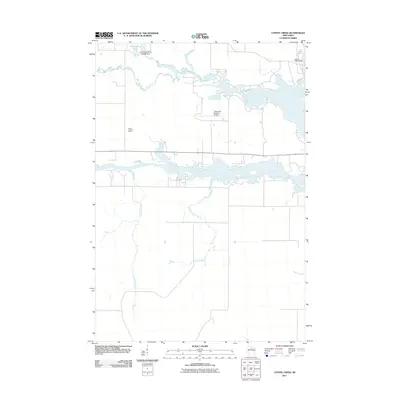 2011 Coffee Creek2011 Print · USGSThe confluence of the Somo and Spirit Rivers near Tomahawk is captured here during the early twenty-first century. Researchers can trace the local water management system through the Little Somo River 2WP464 Dam, the Jersey 2WP33 Dam, and the Zenith Lookout Tower.
 - 2013 Map of Tomahawk, 2013 Print
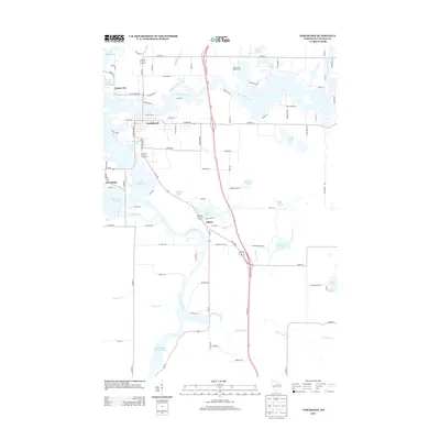 2013 Tomahawk2013 Print · USGSThe Wisconsin River corridor at the start of the 2010s shows a landscape deeply integrated with its waters. Trace the layout of riverfront settlements like Tomahawk and Jersey City, or locate specific landmarks from Bradley Park to the shores of Lake Mohawksin.
 - 2013 Map of Grandfather Falls, 2013 Print
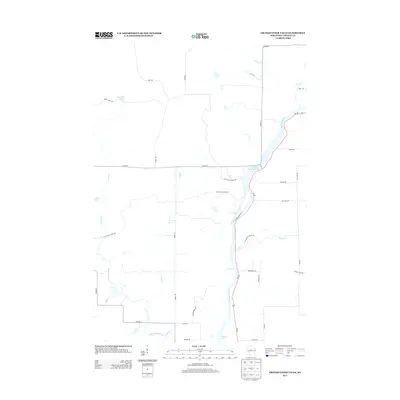 2013 Grandfather Falls2013 Print · USGSThe Wisconsin River valley in Lincoln County is captured here in the early twenty-first century, showcasing its managed waterways and recreation trails. You can trace the path of the Ice Age Natl Scenic Trl past landmarks like Grandfather Falls and Posey Rapids.
 - 2013 Map of Coffee Creek, 2013 Print
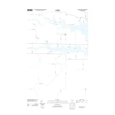 2013 Coffee Creek2013 Print · USGSLincoln County's river systems and aviation infrastructure are documented here during the early twenty-first century. Researchers can trace the water levels of the Spirit River Flowage or locate local landmarks like the Zenith Lookout Tower and Tomahawk Regional Airport.
 - 2013 Map of Irma, 2013 Print
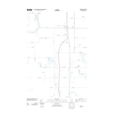 2013 Irma2013 Print · USGSLincoln County in the early 2010s reveals a landscape defined by its glacial lakes and the winding Wisconsin River. Genealogists and local historians can trace family-named routes and small settlements like Irma and Otis, or locate the Rock Falls Lookout Tower and Schulz Spur.
 - 2013 Map of Alexander Lake, 2013 Print
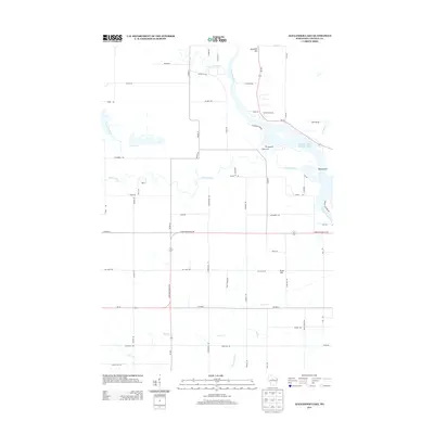 2013 Alexander Lake2013 Print · USGSLincoln County’s river systems are on full display in the early 2010s as the Wisconsin River meets the Alexander Lake Flowage 2520. Researchers can trace the paths of the Copper River and New Wood River past landmarks like Ninemile Hill.
 - 2013 Map of Merrill, 2013 Print
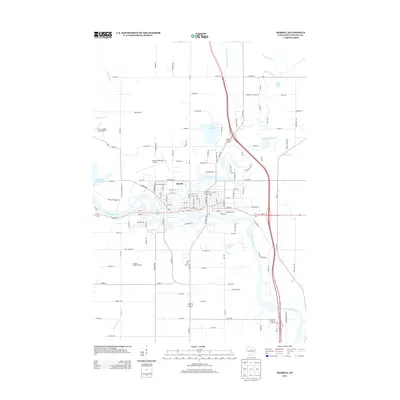 2013 Merrill2013 Print · USGSMerrill and the surrounding Lincoln County countryside appear here during the early twenty-first century as the city centers on the Wisconsin River confluence. Researchers can trace the local landscape from Helene's Hilltop Orchard to the shores of Lake Pesobic.
 - 2015 Map of Irma, 2015 Print
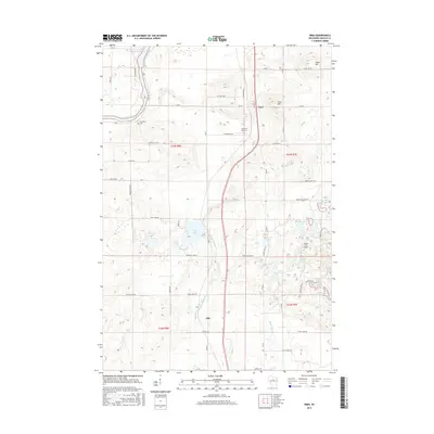 2015 Irma2015 Print · USGSLincoln County's northwoods character is on full display in this mid-2010s survey of the areas around Irma and Otis. Trace rural cemetery sites like Woodlawn Cemetery, explore the dense network of kettle lakes, and locate local landmarks such as Irma Hill.
 - 2015 Map of Merrill, 2015 Print
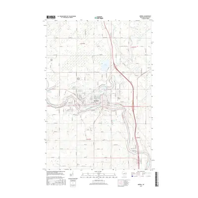 2015 Merrill2015 Print · USGSMerrill and the surrounding Lincoln County landscape are shown here as they appeared in 2015, centered on the confluence of the Wisconsin and Prairie rivers. Researchers can trace local heritage through Merrill Memorial Park Cemetery or study the town's industrial ties to the Alexander Flowage and Ward Mill Pond.
 - 2015 Map of Tomahawk, 2015 Print
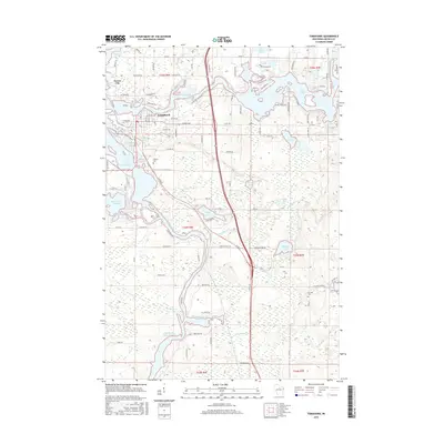 2015 Tomahawk2015 Print · USGSWisconsin's Northwoods come into focus in this recent survey of the river-side settlements in Lincoln County. Researchers can trace local heritage at Calvary Cem and Oak Hill Cem or explore the extensive shorelines of Lake Alice and Lake Mohawksin.
 - 2015 Map of Grandfather Falls, 2015 Print
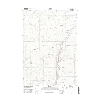 2015 Grandfather Falls2015 Print · USGSLincoln County’s river-driven landscape is captured here in the mid-2010s, showing the intersection of natural waterways and modern conservation. Researchers can trace the Ice Age National Scenic Trail as it crosses the Wisconsin River near Ninemile Hill.
 - 2015 Map of Coffee Creek, 2015 Print
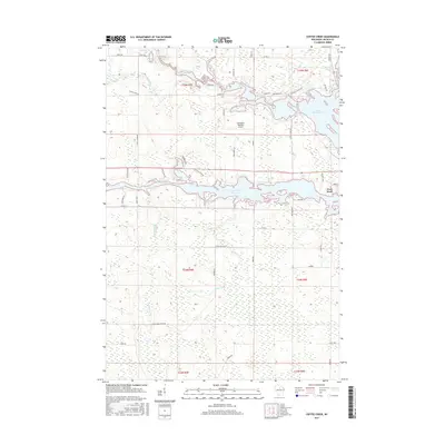 2015 Coffee Creek2015 Print · USGSLincoln County’s river systems and flowages are intricately detailed in this modern survey of the Tomahawk area. Researchers can trace land use around Lake Mohawksin, the Tomahawk Regional Airport, and small lakeside settlements like West Kraft.
 - 2015 Map of Alexander Lake, 2015 Print
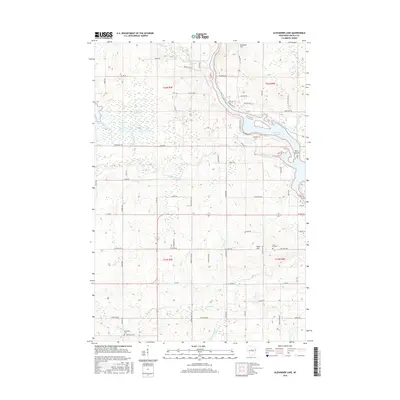 2015 Alexander Lake2015 Print · USGSThe Wisconsin River valley north of Merrill comes into focus in the mid-2010s, showing a landscape defined by the Alexander Flowage and rural townships. Genealogists can locate family landmarks like the Methodist Cem and Snow Hill Cem among the hills and river bends.
 - 2018 Map of Merrill, 2018 Print
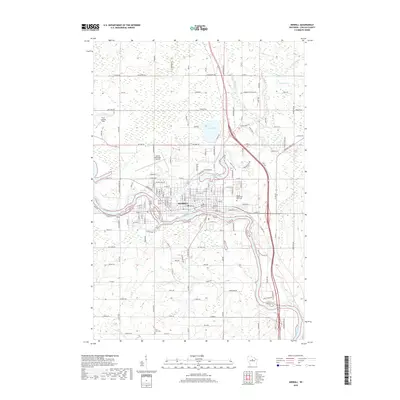 2018 Merrill2018 Print · USGSMerrill and its surrounding lake country are mapped here during a period of steady growth along the Wisconsin River and Prairie River. Local historians can trace the town's expansion and find key genealogy sites like the Merrill Memorial Park Cem or Saint John Cem.
 - 2018 Map of Alexander Lake, 2018 Print
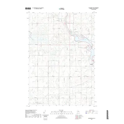 2018 Alexander Lake2018 Print · USGSLincoln County’s river-carved landscape is documented here in the late twenty-tens, showing the convergence of several major waterways. Researchers can trace land tracts near Merrill and locate historical burial sites at Snow Hill Cem or Methodist Cem.
 - 2018 Map of Grandfather Falls, 2018 Print
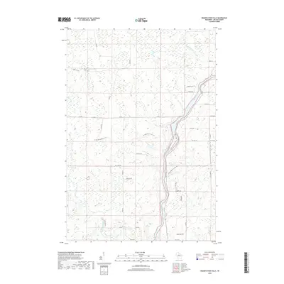 2018 Grandfather Falls2018 Print · USGSLincoln County at the end of the 2010s shows a landscape defined by the winding Wisconsin River and its glacial history. Trace the path of the Ice Age National Scenic Trail past white-water landmarks like Bill Cross Rapids and the heights of Ninemile Hill.
 - 2018 Map of Coffee Creek, 2018 Print
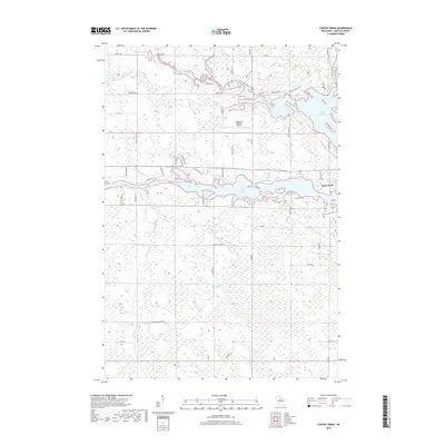 2018 Coffee Creek2018 Print · USGSThe Northwoods of Lincoln County are defined by vast water systems and the settlement at West Kraft in the late 2010s. Trace the intricate shoreline of Lake Mohawksin and the Spirit River Flowage alongside landmarks like the Tomahawk Regional Airport.
 - 2018 Map of Irma, 2018 Print
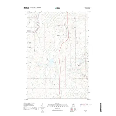 2018 Irma2018 Print · USGSLincoln County’s lake country is captured in the late 2010s, showing a landscape defined by the Wisconsin River and a dense network of glacial waters. Local researchers can trace family sites near Irma or locate historic landmarks like Woodlawn Cem and the Circle K Airport.
 - 2018 Map of Tomahawk, 2018 Print
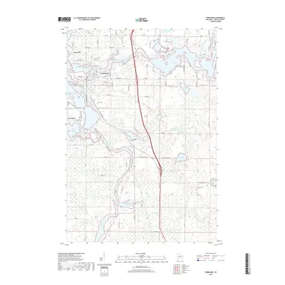 2018 Tomahawk2018 Print · USGSLincoln County’s river-driven landscape is shown here in the late 2010s, centered on the confluence of the Wisconsin and Spirit rivers. Genealogists and local historians can trace family locations near Jersey City, Calvary Cem, and Oak Hill Cem.
 - 2022 Map of Irma, 2022 Print
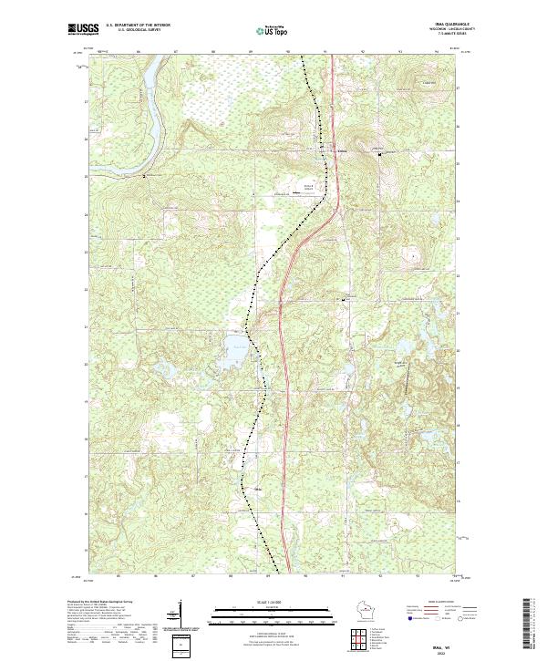 2022 Irma2022 Print · USGSLincoln County comes to life in this contemporary survey, showing the quiet communities of Irma and Otis as they appear today. Genealogists and historians can trace family locations near Bethany Cem, Woodlawn Cem, and the waters of Tug Lake.
Showing maps 1-25 of 30
Top cities near Rock Falls
- Merrill historical maps
- Tomahawk historical maps
- Bradley historical maps
- Maine historical maps
- Pine River historical maps
- Hamburg historical maps
See more
Frequently asked questions
- What are the different types of historical maps available for Rock Falls?
- What is the oldest map of Rock Falls?
- Where can I purchase historical maps of Rock Falls for my home or office?
- Where can I download high-res historical maps of Rock Falls?
- Are there historical topographic maps available for Rock Falls?
- Is there historical aerial imagery available for Rock Falls?
- Where are historical maps of Rock Falls sourced from?